Cedar Plantation
Wood, Forest in Lincolnshire South Kesteven
England
Cedar Plantation
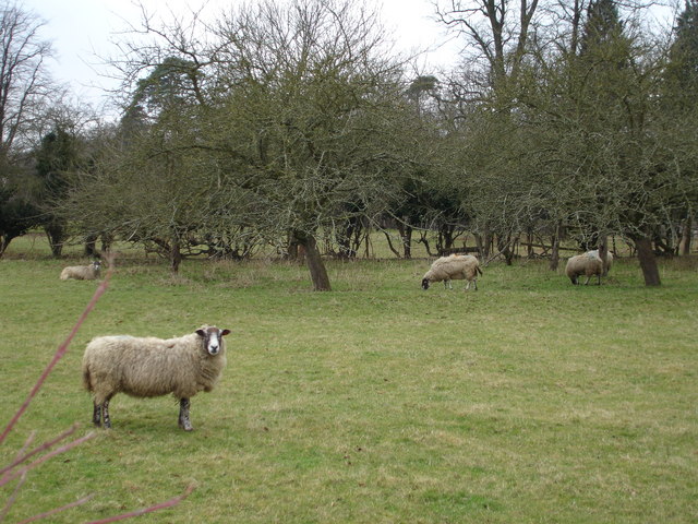
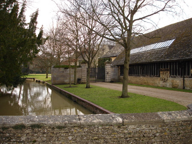
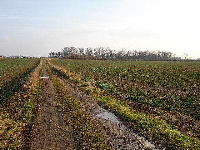
Cedar Plantation, located in Lincolnshire, is a picturesque woodland area renowned for its stunning cedar trees and tranquil atmosphere. The plantation spans across a vast expanse of land, encompassing dense forests and lush greenery. It is a popular destination for nature enthusiasts and those seeking solace in a serene environment.
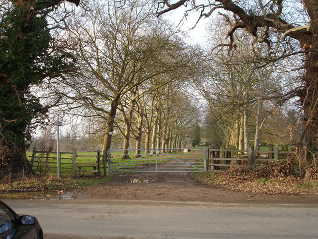
The standout feature of Cedar Plantation is, of course, its majestic cedar trees. These towering evergreens dominate the landscape, with their distinctive, aromatic scent filling the air. The trees provide a natural canopy, casting dappled shadows on the forest floor. Walking through the plantation feels like stepping into a fairytale, as sunlight filters through the branches, illuminating the vibrant moss and ferns that carpet the ground.
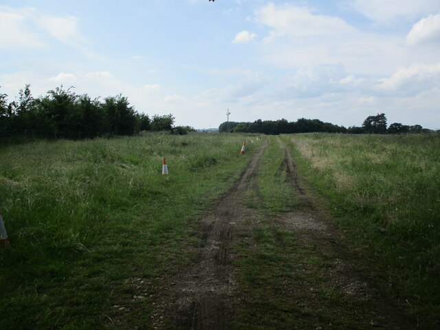
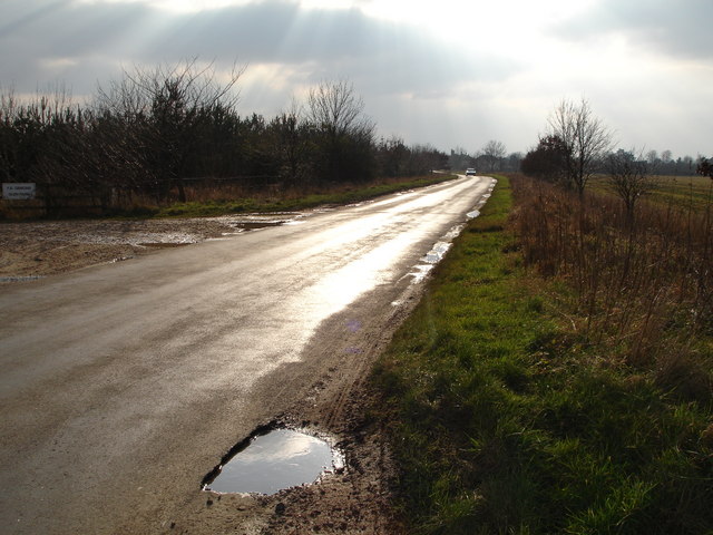
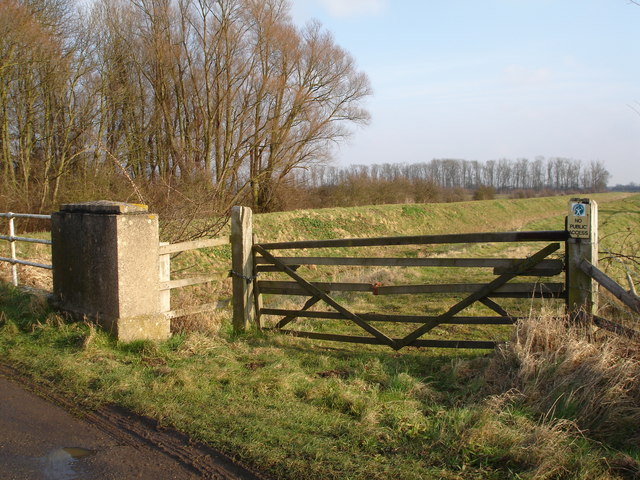
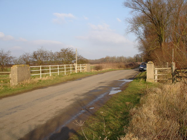
The plantation offers various walking trails, allowing visitors to explore the enchanting woodland at their own pace. The paths wind through the forest, leading to hidden clearings and secluded ponds. Along the way, visitors may encounter a diverse array of wildlife, including deer, rabbits, and a multitude of bird species.
Cedar Plantation is also home to a range of recreational facilities. There are picnic areas scattered throughout the woodland, providing a perfect spot to enjoy a packed lunch amidst nature. Additionally, the plantation has a small visitor center where visitors can learn more about the local flora and fauna.
In conclusion, Cedar Plantation in Lincolnshire offers a captivating natural retreat, where visitors can immerse themselves in the beauty of a tranquil woodland setting. With its stunning cedar trees, diverse wildlife, and peaceful ambiance, it is a haven for nature lovers and a delightful escape from the hustle and bustle of everyday life.
If you have any feedback on the listing, please let us know in the comments section below.
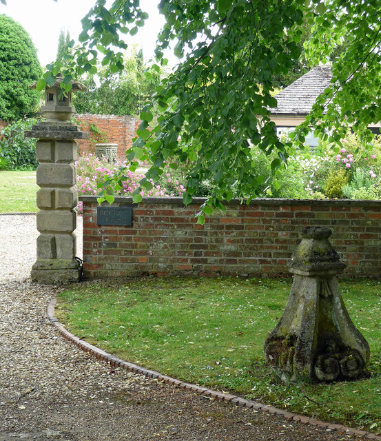
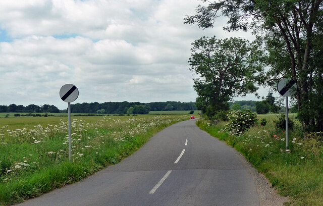
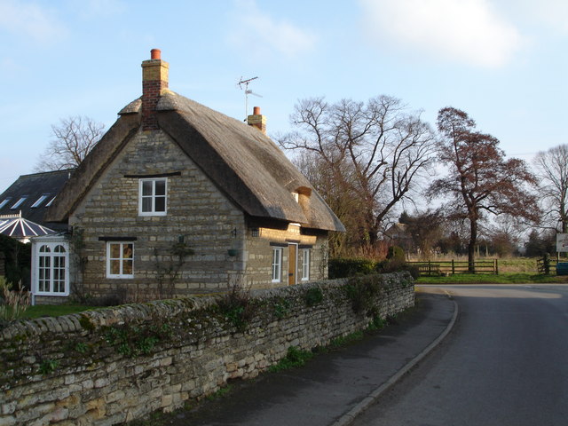
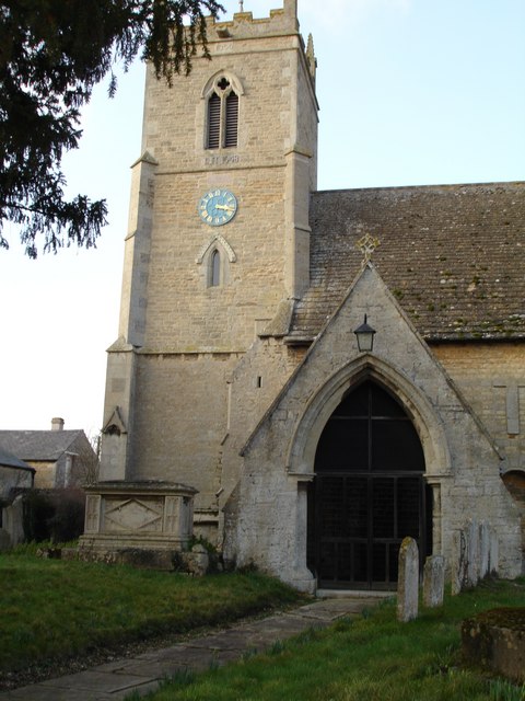
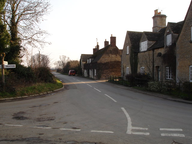
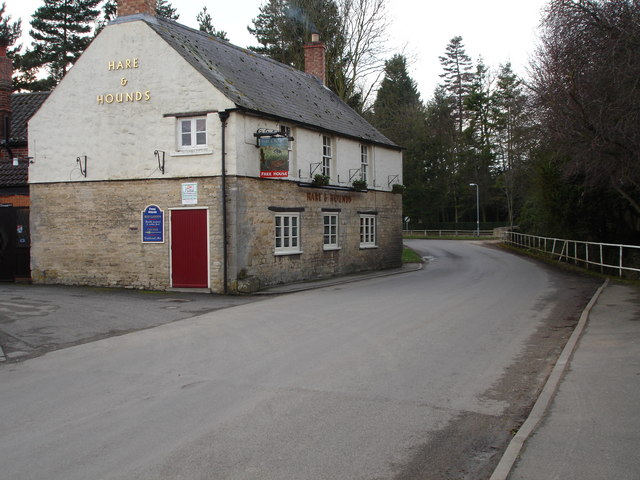
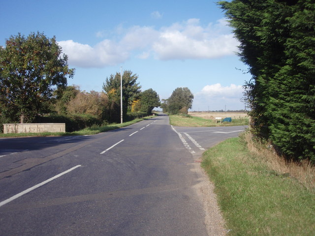
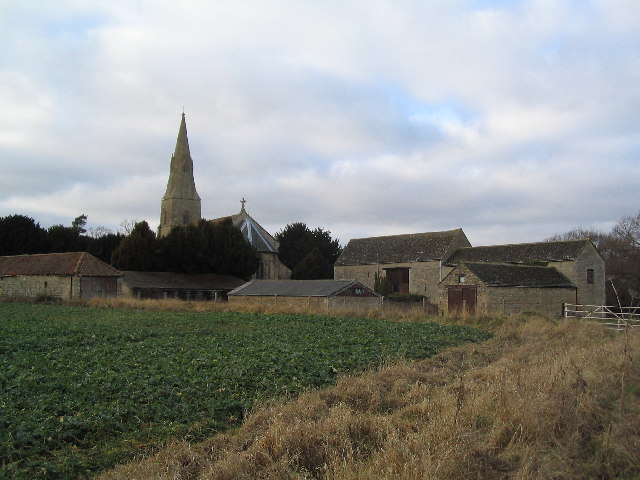
Cedar Plantation Images
Images are sourced within 2km of 52.680518/-0.39275301 or Grid Reference TF0810. Thanks to Geograph Open Source API. All images are credited.


Cedar Plantation is located at Grid Ref: TF0810 (Lat: 52.680518, Lng: -0.39275301)
Administrative County: Lincolnshire
District: South Kesteven
Police Authority: Lincolnshire
What 3 Words
///vibrating.gain.pursue. Near Langtoft, Lincolnshire
Nearby Locations
Related Wikis
Barholm and Stowe
Barholm and Stowe is a civil parish in the South Kesteven district of Lincolnshire, England. According to the 2001 census it had a population of 87 in...

Uffington Rural District
Uffington was a rural district in Lincolnshire, Parts of Kesteven from 1894 to 1931. It was created in 1894 from that part of the Stamford rural sanitary...
Barholm
Barholm is a village in the South Kesteven district of Lincolnshire, England. It is 2 miles (3 km) west from the A15 road, and 6 miles (10 km) south from...

Greatford
Greatford is a village and civil parish in the South Kesteven district of Lincolnshire, England. It is situated 2 miles (3 km) west from the A15, 4.5 miles...

Tallington railway station
Tallington railway station was a station in Tallington, Lincolnshire on the Great Northern Railway between Grantham and Peterborough. It was closed in...
King Street (Roman road)
King Street is the name of a modern road on the line of a Roman road. It runs on a straight course in eastern England, between the City of Peterborough...

Tallington
Tallington is a village and civil parish in the South Kesteven district of Lincolnshire, England. The population of the civil parish at the 2011 census...
Braceborough
Braceborough is a village in the South Kesteven district of Lincolnshire, England. It is situated off the Stamford to Bourne A6121 road, just west of the...
Nearby Amenities
Located within 500m of 52.680518,-0.39275301Have you been to Cedar Plantation?
Leave your review of Cedar Plantation below (or comments, questions and feedback).