Quarrington Fen

Downs, Moorland in Lincolnshire North Kesteven

England

Quarrington Fen

Buildings in the market place, Sleaford An awkward situation where buildings face a pay-and-display car park.
Buildings in the market place, Sleaford Credit: Humphrey Bolton

Quarrington Fen is a picturesque area located in Lincolnshire, England. It is known for its diverse natural landscape, encompassing downs, moorland, and fen. Covering an extensive area, Quarrington Fen offers a haven for nature enthusiasts and those seeking tranquility amidst stunning surroundings.

The downs in Quarrington Fen feature rolling hills and meadows, providing a scenic backdrop for leisurely walks and picnics. Visitors can enjoy breathtaking views of the surrounding countryside from the elevated vantage points. The moorland, on the other hand, showcases a rugged terrain with heather-covered hills and rocky outcrops. This area is perfect for hikers and adventurers looking to explore the wilder side of Lincolnshire.

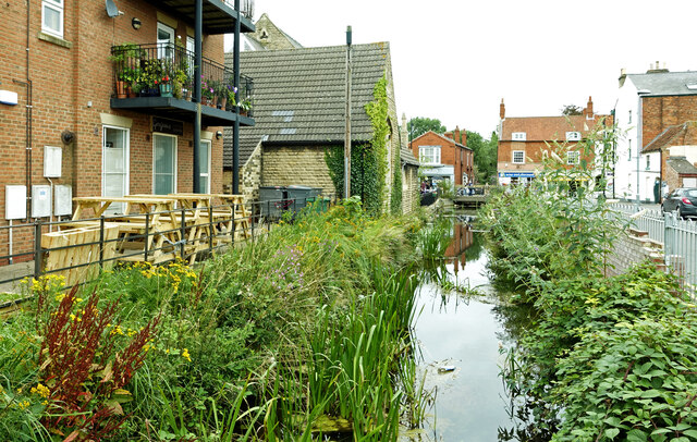
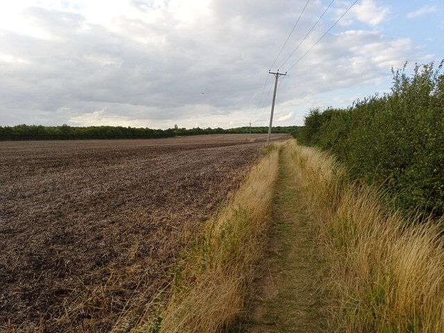
The fen, a unique wetland habitat, is a significant feature of Quarrington Fen. It is characterized by its marshy, waterlogged ground and is home to a rich variety of flora and fauna. Rare and protected species such as marsh orchids, water voles, and various bird species can be spotted here. The fen also provides an important breeding ground for numerous waterfowl, making it a popular destination for birdwatchers.

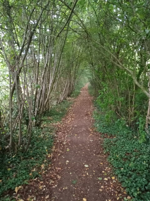
Quarrington Fen boasts several well-maintained walking trails and nature reserves, allowing visitors to fully immerse themselves in the area's natural beauty. With its tranquil atmosphere and diverse ecosystems, Quarrington Fen is a must-visit destination for anyone seeking a peaceful retreat in the heart of Lincolnshire.

If you have any feedback on the listing, please let us know in the comments section below.

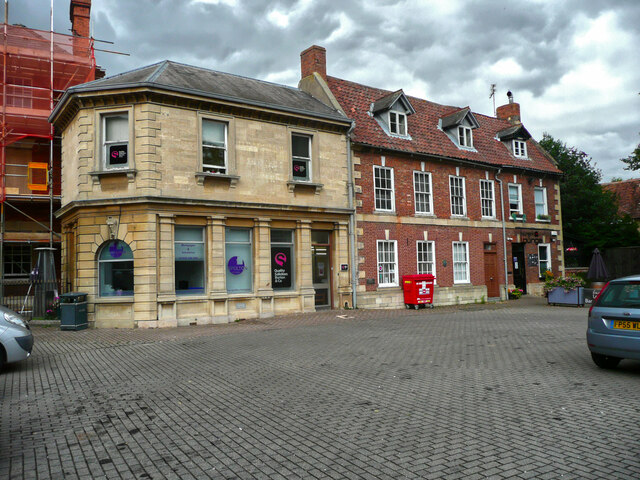
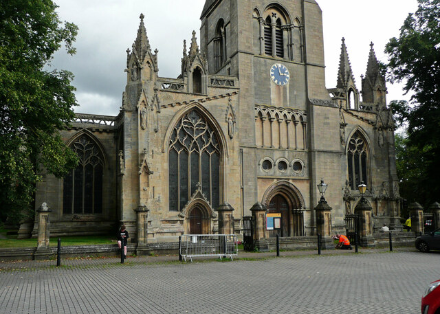
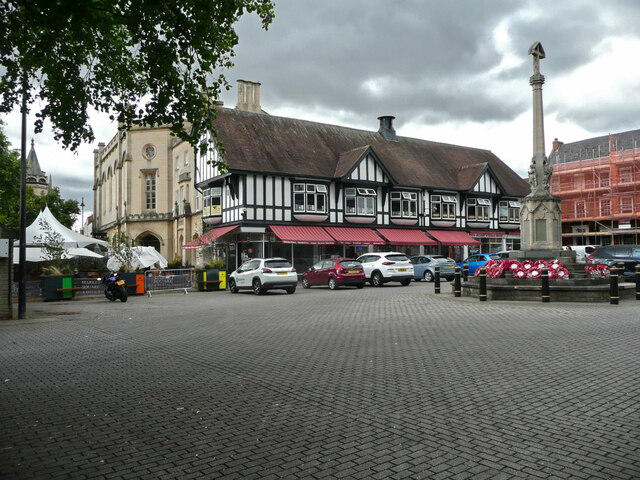
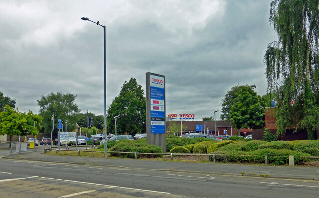
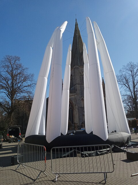
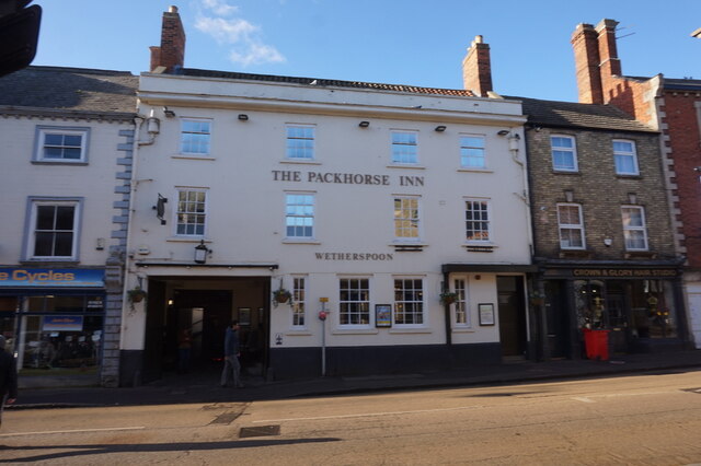
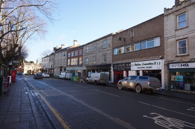
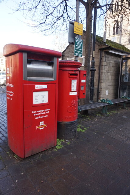
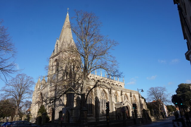
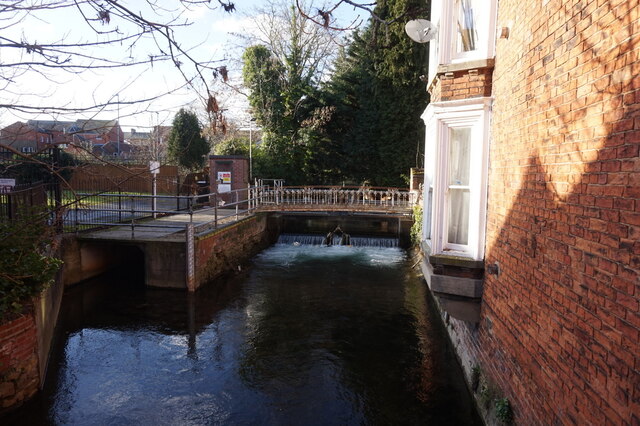
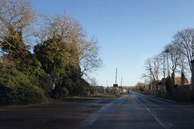
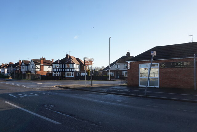
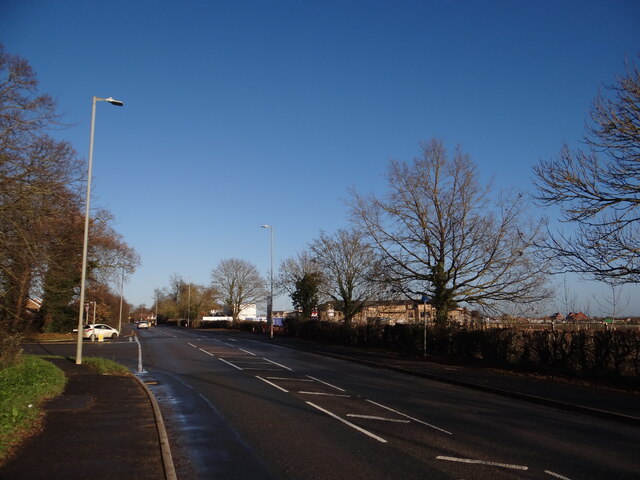
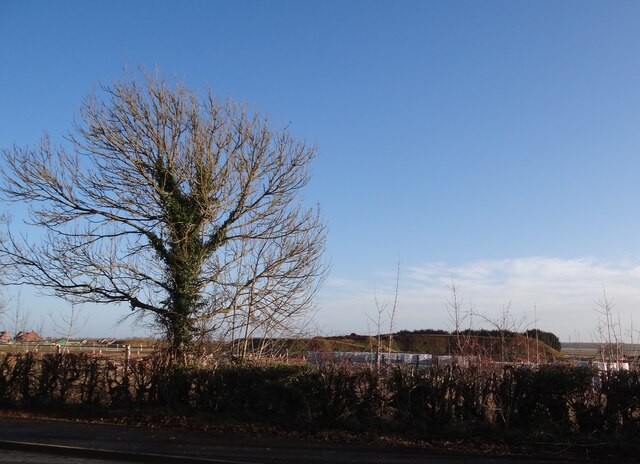
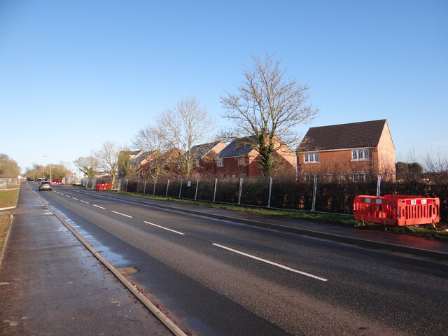
Quarrington Fen Images

Images are sourced within 2km of 52.995401/-0.43758741 or Grid Reference TF0445. Thanks to Geograph Open Source API. All images are credited.

Buildings in the market place, Sleaford An awkward situation where buildings face a pay-and-display car park.
Buildings in the market place, Sleaford
An awkward situation where buildings face a pay-and-display car park.
Window, St Denys, Sleaford This is one of the windows with "flowing tracery" that Nikolaus Pevsner remembered the church for. It is similar in style to the east window of the chancel of Boston church.
Window, St Denys, Sleaford
This is one of the windows with "flowing tracery" that Nikolaus Pevsner remembered the church for. It is similar in style to the east window of the chancel of Boston church.
Café, shops and war memorial, Market Place, Sleaford
The River Slea Viewed on a disappointingly dull summer day.
The River Slea
Viewed on a disappointingly dull summer day.
Tesco at Sleaford Located on North Gate.
Tesco at Sleaford
Located on North Gate.
RiverLight Festival installation One of a number of things to see at the RiverLight (sic) festival held over the weekend of 19th/20th March 2022.  St Deny's church spire behind takes it all in its stride.

This particular installation is called 'Octo', by Dream Engine and features an acrobat 'inside' during an aerial performance.
RiverLight Festival installation
One of a number of things to see at the RiverLight (sic) festival held over the weekend of 19th/20th March 2022. St Deny's church spire behind takes it all in its stride. This particular installation is called 'Octo', by Dream Engine and features an acrobat 'inside' during an aerial performance.
The Packhorse Inn, North Gate, Sleaford
East Gate, Sleaford
East Gate, Sleaford
Post boxes on East Gate, Sleaford
St Denys' Church, Sleaford
River Slea from Carre Bridge, Sleaford
Grantham Road towards Sleaford
Grantham Road at London Road, Sleaford
Stubble by the path The field to the left has produced its crop.  Not sure what it was but it's gone now!  Whatever it was, the field looks much better in June <a href="https://www.geograph.org.uk/photo/6189888">TF0546 : Footpath from Drove Lane to Holdingham</a>.
Stubble by the path
The field to the left has produced its crop. Not sure what it was but it's gone now! Whatever it was, the field looks much better in June TF0546 : Footpath from Drove Lane to Holdingham.
Natural arch Not a coastal arch, but a woodland arch comprising the public footpath to the east of the A15 as it nears the roundabout at Holdingham.
Natural arch
Not a coastal arch, but a woodland arch comprising the public footpath to the east of the A15 as it nears the roundabout at Holdingham.
Care Home taking shape Behind the hedge near the Town Road junction to the middle right of the photo can be seen the construction of a new Care Home.
Care Home taking shape
Behind the hedge near the Town Road junction to the middle right of the photo can be seen the construction of a new Care Home.
Going, going The slim triangular trees in the distance, reminiscent of a tree-cathedral inside is slowly being obscured from view.  Hopefully the bulldozers will spare it, unlike the poppy field that once occupied this spot <a href="https://www.geograph.org.uk/photo/1364286">TF0644 : Red Fields from Stump Cross Hill</a>.
Going, going
The slim triangular trees in the distance, reminiscent of a tree-cathedral inside is slowly being obscured from view. Hopefully the bulldozers will spare it, unlike the poppy field that once occupied this spot TF0644 : Red Fields from Stump Cross Hill.
New houses under construction at Stump Cross Hill Looking along the road in the direction of Sleaford.
New houses under construction at Stump Cross Hill
Looking along the road in the direction of Sleaford.
Show me another place!

Quarrington Fen is located at Grid Ref: TF0445 (Lat: 52.995401, Lng: -0.43758741)

Administrative County: Lincolnshire

District: North Kesteven

Police Authority: Lincolnshire

What 3 Words

///complains.conductor.void. Near Sleaford, Lincolnshire

Related Wikis

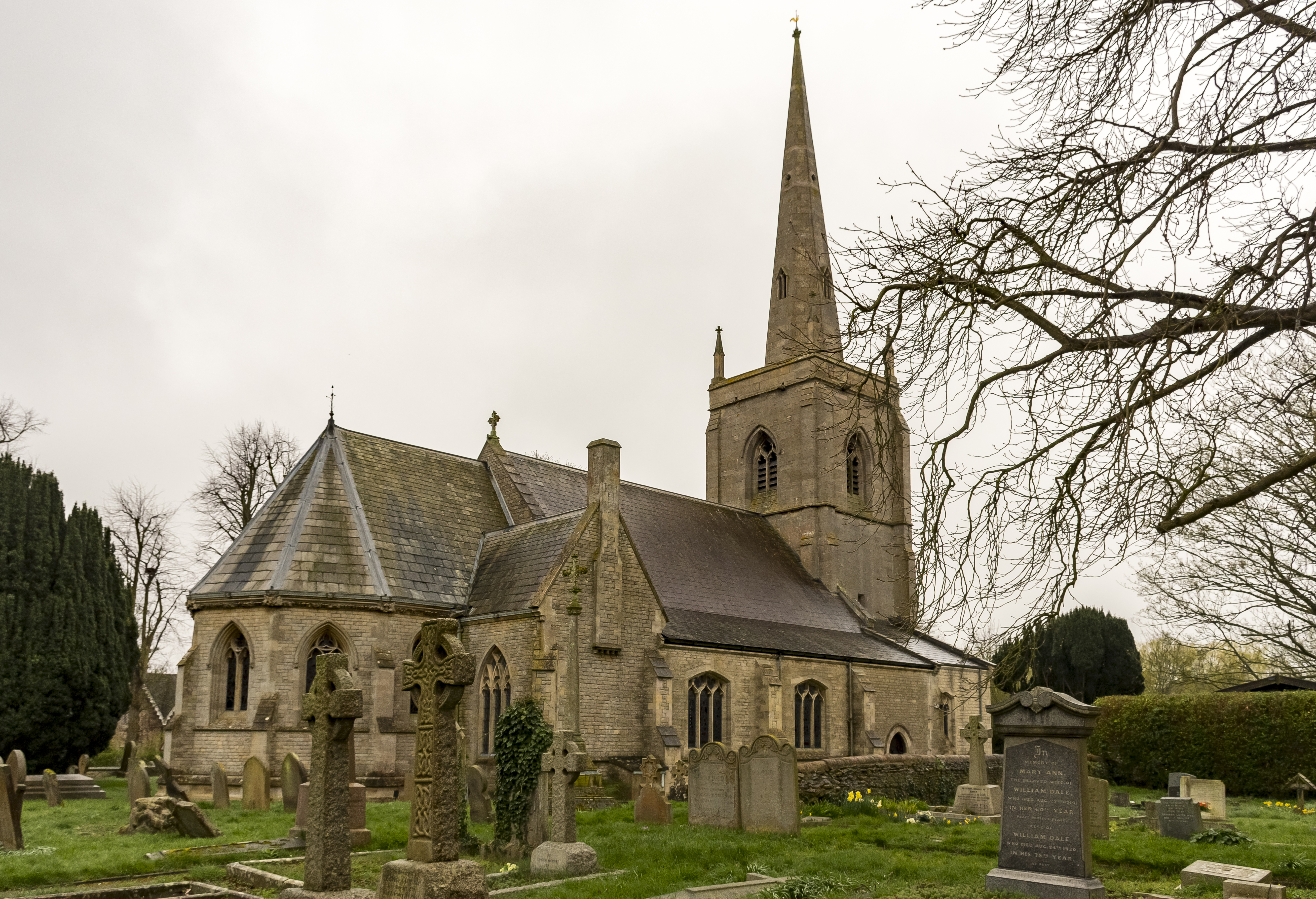
St Botolph's Church, Quarrington

St Botolph's Church is an Anglican church in Quarrington in Lincolnshire, England. The area has been settled since at least the Anglo-Saxon period, and...

Quarrington, Lincolnshire

Quarrington is a village and former civil parish, now part of the civil parish of Sleaford, in the North Kesteven district of Lincolnshire, England. The...

Sleaford Castle

Sleaford Castle is a medieval castle in Sleaford, Lincolnshire, England. Built by the Bishop of Lincoln in the early 1120s, it was habitable as late as...

Rauceby Hospital

Rauceby Hospital, originally called Kesteven County Asylum, is a now-defunct mental institution in the parish of Quarrington, Lincolnshire, England. Originally...
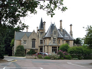
Westholme House

Westholme House is a historic building in the English market town of Sleaford in Lincolnshire, set in 32 acres of parkland and school grounds. Built around...

Sleaford

Sleaford is a market town and civil parish in the North Kesteven district of Lincolnshire, England. Centred on the former parish of New Sleaford, the modern...

St George's Academy

St George's Academy is a co-educational comprehensive secondary school based in the English market town of Sleaford in Lincolnshire, with a satellite school...
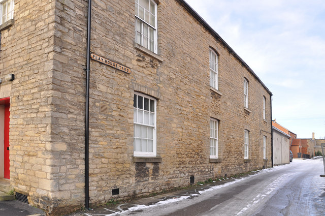
Playhouse, Sleaford

The Playhouse is a theatre in Sleaford, Lincolnshire, England. It is a Grade II listed Georgian building dating from 1820. The building became a school...

Nearby Amenities

Located within 500m of 52.995401,-0.43758741
Bus Stop
Victory Way
Bus: yes
Naptan AtcoCode: 270002700487
Naptan Bearing: SW
Naptan CommonName: Victory Way
Naptan Indicator: adj
Naptan Landmark: Victory Way
Naptan NaptanCode: linagapd
Naptan Street: Sheldrake Road
Naptan Verified: no
Public Transport: platform
Source: naptan_import
Lat/Long: 52.9952092/-0.4309009
Bus Stop
Hood Close
Bus: yes
Naptan AtcoCode: 270002700488
Naptan Bearing: SE
Naptan CommonName: Hood Close
Naptan Indicator: opp
Naptan Landmark: Hood Close
Naptan NaptanCode: linagadg
Naptan Street: Clay Hill Road
Naptan Verified: no
Public Transport: platform
Source: naptan_import
Lat/Long: 52.9935667/-0.4331507
Quarrington Fen
Place: locality
Source: Bing
Lat/Long: 52.9965864/-0.4363292
Power: pole
Lat/Long: 52.9980143/-0.4430151
Power: pole
Lat/Long: 52.9976656/-0.44213
Power: pole
Lat/Long: 52.9972717/-0.4411537
Power: pole
Lat/Long: 52.9970392/-0.4406762
Power: pole
Lat/Long: 52.9965711/-0.4402202
Power: pole
Lat/Long: 52.9960254/-0.4398072
Power: pole
Lat/Long: 52.9955508/-0.4393512
Power: pole
Lat/Long: 52.9950407/-0.4389113
Power: pole
Lat/Long: 52.99398/-0.4379591
Power: pole
Lat/Long: 52.993423/-0.437479
Power: pole
Lat/Long: 52.9932358/-0.4373422
Power: pole
Lat/Long: 52.9928951/-0.436323
Power: pole
Lat/Long: 52.9921299/-0.4358187
Power: pole
Lat/Long: 52.9914631/-0.4354298
The data included in this document is from www.openstreetmap.org. The data is made available under ODbL.

Have you been to Quarrington Fen?

Leave your review of Quarrington Fen below (or comments, questions and feedback).