Furze Field

Downs, Moorland in Sussex Horsham

England

Furze Field

Wood anemones by Rackham Road
Wood anemones by Rackham Road Credit: Ian Cunliffe

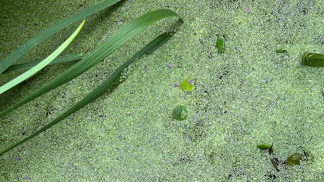
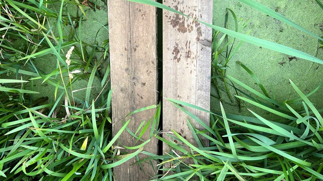
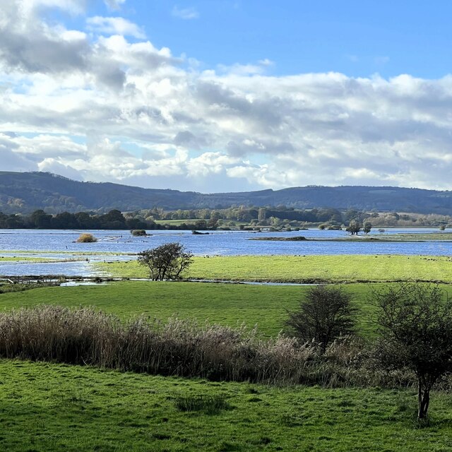
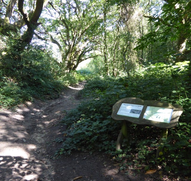
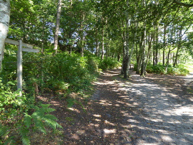
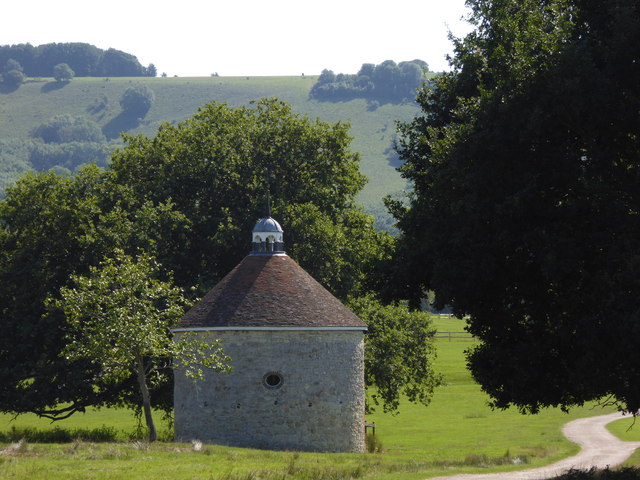
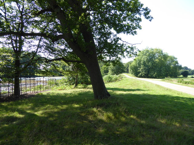
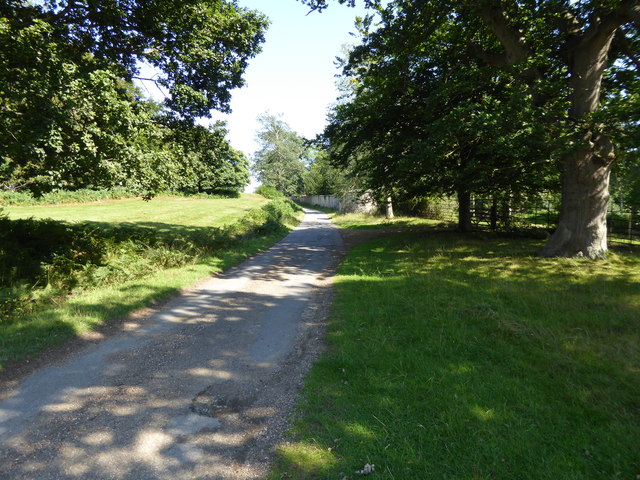
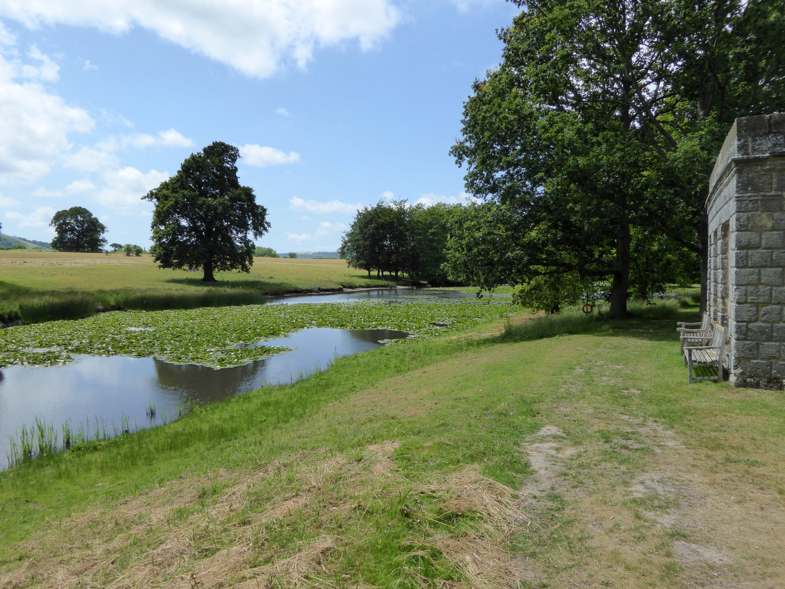
Furze Field is a picturesque landscape located in Sussex, England. It is situated on the Sussex Downs, which is known for its rolling hills and stunning natural beauty. The field itself is characterized by its vast expanse of moorland, covered in a thick carpet of vibrant green grass and heather.

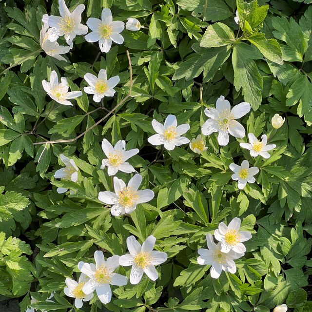
The field derives its name from the abundance of furze bushes that dot the landscape. These bushes, also known as gorse, are known for their striking yellow flowers that bloom during the spring and summer months, adding a burst of color to the already breathtaking scenery.

The moorland in Furze Field is home to a wide variety of wildlife, including several species of birds such as skylarks and linnets. The field also supports a diverse range of plant life, with wildflowers such as harebells and cowslips adding to its natural charm.

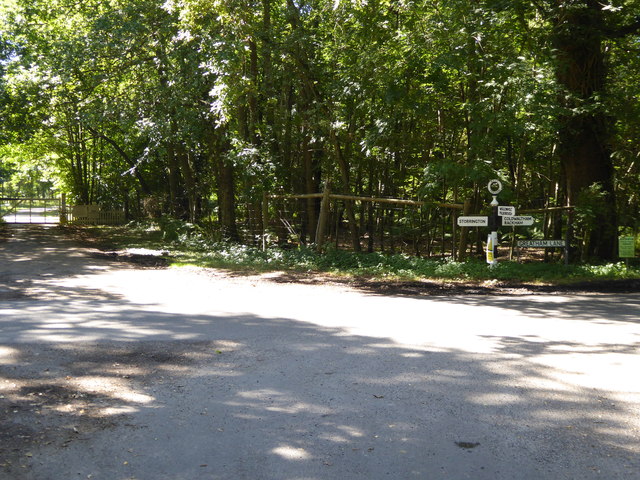
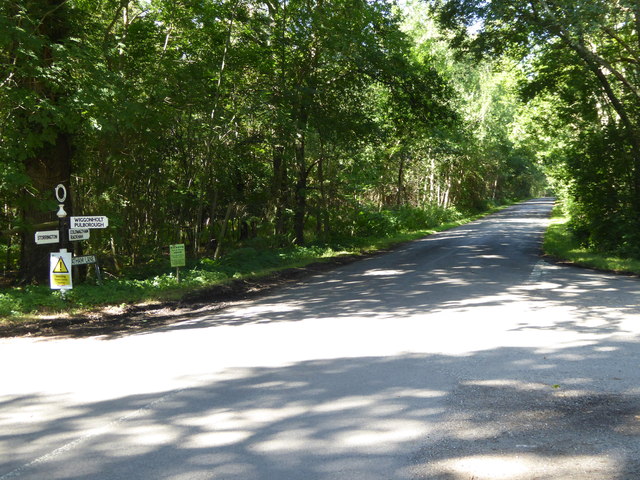
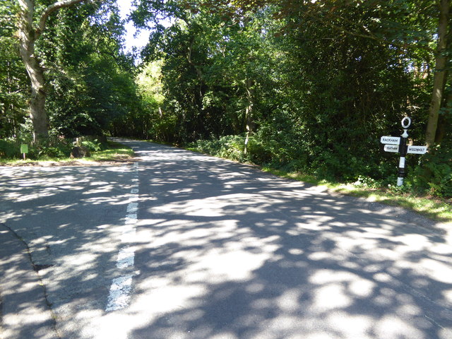
The rolling hills of the Sussex Downs provide a stunning backdrop to Furze Field, offering visitors breathtaking panoramic views of the surrounding countryside. The area is a haven for hikers and nature enthusiasts, with numerous footpaths and trails crisscrossing the landscape.

Furze Field is not only a place of natural beauty but also of historical significance. There are several ancient archaeological sites nearby, including burial mounds and Iron Age hillforts, which provide a glimpse into the region's rich past.

Overall, Furze Field is a captivating destination that offers visitors a chance to immerse themselves in the tranquility of the Sussex countryside, surrounded by stunning landscapes and abundant wildlife.

If you have any feedback on the listing, please let us know in the comments section below.

Furze Field Images

Images are sourced within 2km of 50.922611/-0.50831514 or Grid Reference TQ0414. Thanks to Geograph Open Source API. All images are credited.

Wood anemones by Rackham Road
The Mill House The remains of an old watermill are nearby.
The Mill House
The remains of an old watermill are nearby.
School House and Old School The School House is on the left and the Old School is on the right.
School House and Old School
The School House is on the left and the Old School is on the right.
Parham House One of Simon Jenkins top country houses  - a fine house in an even finer setting twixt downs and vale
Parham House
One of Simon Jenkins top country houses - a fine house in an even finer setting twixt downs and vale
Pondweed on the north side of Amberley Wild Brooks
Footbridge carrying the Wey-South Path over a drainage ditch The vegetation hereabouts was exceptionally lush, and the path was overgrown. I'm not sure whether this is a consequence of the prolonged heat and sunshine. I've noticed it in other damp places too.
Footbridge carrying the Wey-South Path over a drainage ditch
The vegetation hereabouts was exceptionally lush, and the path was overgrown. I'm not sure whether this is a consequence of the prolonged heat and sunshine. I've noticed it in other damp places too.
Ditch in Amberley Wild Brooks
Dock leaves These were very large leaves - c 60 cm in length. I assume this is a species of dock.
Dock leaves
These were very large leaves - c 60 cm in length. I assume this is a species of dock.
Weathered gate post
Weathered gate post
View west over Amberley Brooks The Brooks are flooded after heavy rain. This is normal in the winter months.
View west over Amberley Brooks
The Brooks are flooded after heavy rain. This is normal in the winter months.
Signpost at junction on Greatham Lane
Looking westwards on Greatham Road See also <a title="https://www.geograph.org.uk/photo/1336134" href="https://www.geograph.org.uk/photo/1336134">Link</a> and <a href="https://www.geograph.org.uk/photo/4625837">TQ0615 : Signpost at junction on Greatham Lane</a>.
Looking westwards on Greatham Road
Junction of Greatham Lane and Rackham Street Rackham Street is the more minor road.
See also <a title="https://www.geograph.org.uk/photo/1328721" href="https://www.geograph.org.uk/photo/1328721">Link</a>.
Junction of Greatham Lane and Rackham Street
Rackham Street is the more minor road. See also Link.
Bridleway on Wiggonholt Common
Junction of footpath and bridleway on Wiggonholt Common
Dovecote revisited It's seven years since I was last here.  See <a title="https://www.geograph.org.uk/photo/1073708" href="https://www.geograph.org.uk/photo/1073708">Link</a>.
Dovecote revisited
It's seven years since I was last here. See Link.
Beside the lake in Parham Park
Footpath through Parham Park looking east
Show me another place!

Furze Field is located at Grid Ref: TQ0414 (Lat: 50.922611, Lng: -0.50831514)

Administrative County: West Sussex

District: Horsham

Police Authority: Sussex

What 3 Words

///formless.mammoth.devotion. Near Storrington, West Sussex

Related Wikis

List of local nature reserves in West Sussex

Local nature reserves (LNRs) are designated by local authorities under the National Parks and Access to the Countryside Act 1949. The local authority must...

West Sussex

West Sussex is a ceremonial county in South East England. It is bordered by Surrey to the north, East Sussex to the east, the English Channel to the south...

Parham Park SSSI

Parham Park SSSI is a 263.3-hectare (651-acre) biological Site of Special Scientific Interest in the grounds of Parham Park, west of Storrington in West...
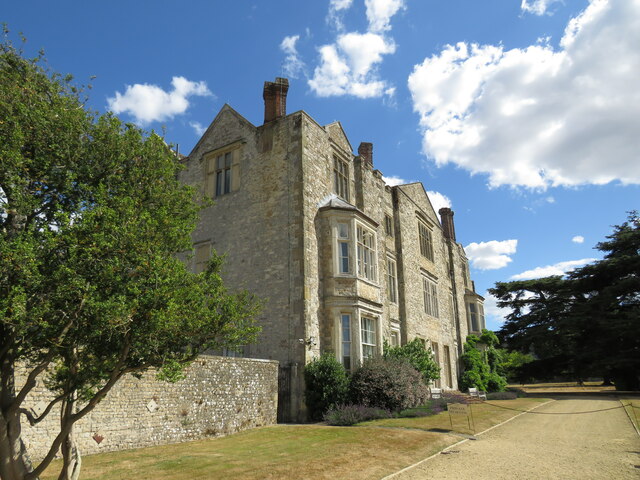
Parham Park

Parham Park is an Elizabethan house and estate in the civil parish of Parham, west of the village of Cootham, and between Storrington and Pulborough, West...

Parham, West Sussex

Parham is a civil parish in the Horsham District of West Sussex, England. There was a village of Parham, around the parish church, but its few houses were...
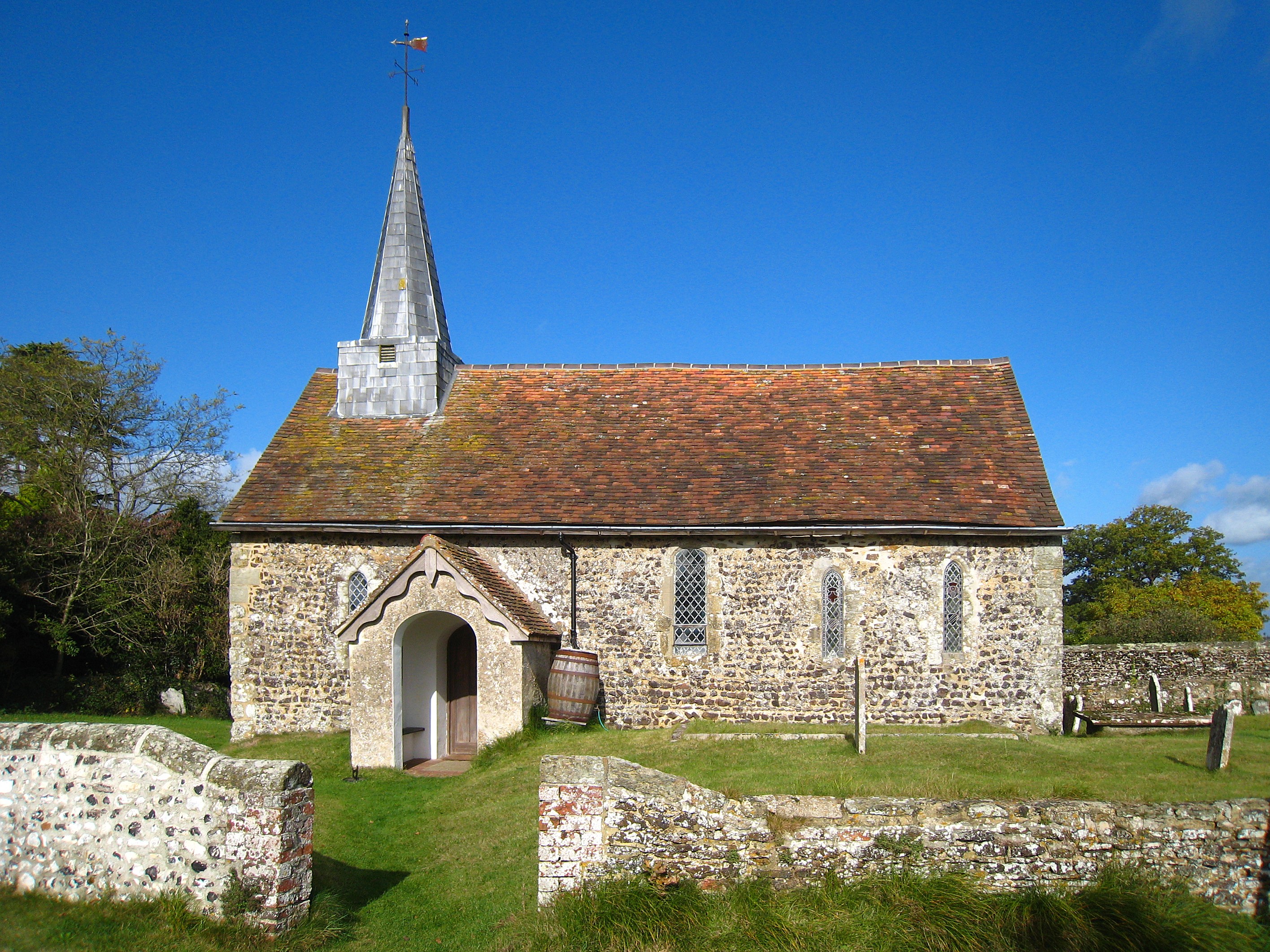
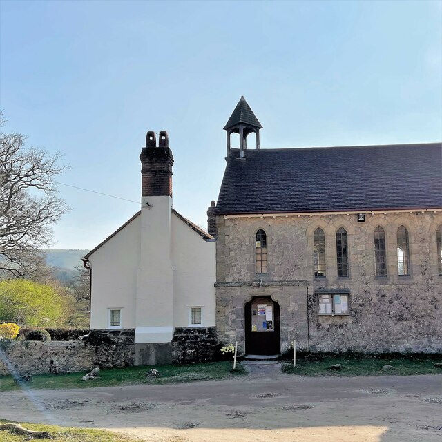
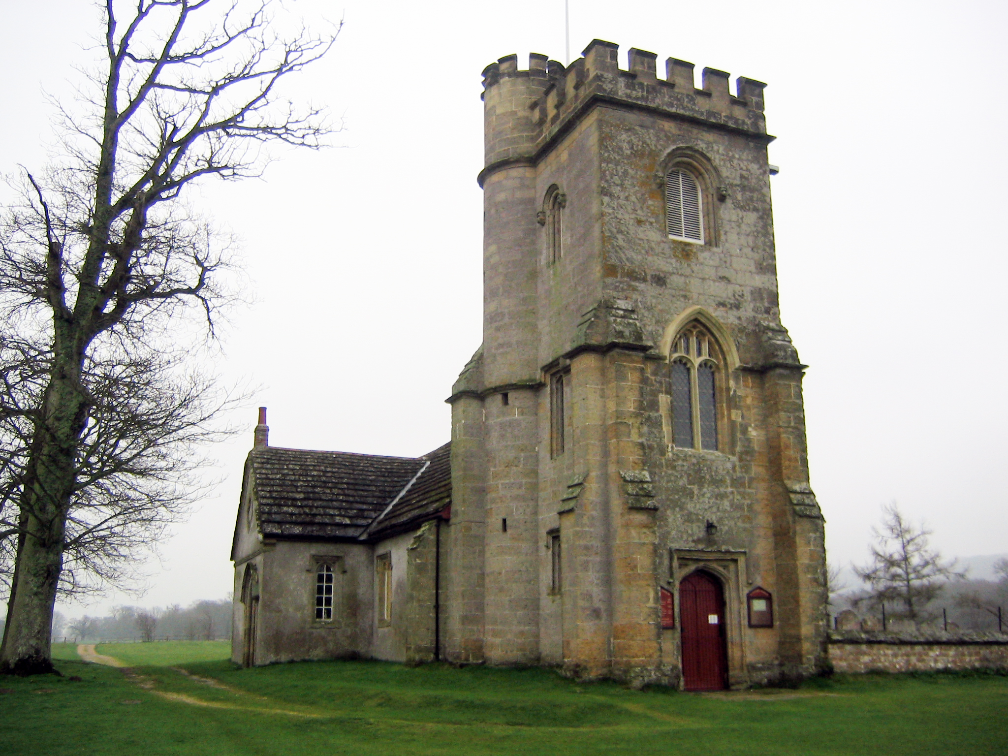
Greatham Church

Greatham Church (the dedication is unrecorded) is the Anglican parish church of the hamlet of Greatham in the district of Horsham, one of seven local government...

Greatham, West Sussex

Greatham ( GRET-əm) is a small village and former civil parish, now in the parish of Parham, in the Horsham district of West Sussex, England. It lies on...

Amberley Wild Brooks

Amberley Wild Brooks or Amberley Wildbrooks is a 327.5-hectare (809-acre) biological Site of Special Scientific Interest west of Storrington in West Sussex...

Nearby Amenities

Located within 500m of 50.922611,-0.50831514
Rackham Street
Naptan AtcoCode: 4400HR0767
Naptan Bearing: N
Naptan BusStopType: CUS
Naptan CommonName: Rackham Street
Naptan Indicator: HAR
Naptan Landmark: Hail & Ride
Naptan NaptanCode: wsxdwgtg
Naptan Street: Rackham Street
Naptan Verified: no
Source: naptan_import
Lat/Long: 50.9211665/-0.5050842
Rackham Street
Naptan AtcoCode: 4400HR0768
Naptan Bearing: S
Naptan BusStopType: CUS
Naptan CommonName: Rackham Street
Naptan Indicator: HAR
Naptan Landmark: Hail & Ride
Naptan NaptanCode: wsxdwgtj
Naptan Street: Rackham Street
Naptan Verified: no
Source: naptan_import
Lat/Long: 50.9211292/-0.5049858
Rackham Street
Naptan AtcoCode: 4400HR0769
Naptan Bearing: N
Naptan BusStopType: CUS
Naptan CommonName: Rackham Street
Naptan Indicator: HAR
Naptan Landmark: Hail & Ride
Naptan NaptanCode: wsxdwgtm
Naptan Street: Rackham Street
Naptan Verified: no
Source: naptan_import
Lat/Long: 50.9252077/-0.5032329
Rackham Street
Naptan AtcoCode: 4400HR0770
Naptan Bearing: S
Naptan BusStopType: CUS
Naptan CommonName: Rackham Street
Naptan Indicator: HAR
Naptan Landmark: Hail & Ride
Naptan NaptanCode: wsxdwgtp
Naptan Street: Rackham Street
Naptan Verified: no
Source: naptan_import
Lat/Long: 50.9251877/-0.503077
Barrier: kissing_gate
Lat/Long: 50.9194291/-0.5078303
Board Type: history
Information: board
Tourism: information
Lat/Long: 50.921504/-0.5045408
Sand cliff
Description: Small sand cliff about 6m high, ideal for kids playing
Tourism: viewpoint
Lat/Long: 50.9198275/-0.5075996
Archaeological Site: tumulus
Historic: archaeological_site
Lat/Long: 50.9217663/-0.511194
Archaeological Site: tumulus
Historic: archaeological_site
Lat/Long: 50.9220823/-0.512628
The data included in this document is from www.openstreetmap.org. The data is made available under ODbL.

Have you been to Furze Field?

Leave your review of Furze Field below (or comments, questions and feedback).