Cranswick Common

Downs, Moorland in Yorkshire

England

Cranswick Common

Track by Scurf Dyke
Track by Scurf Dyke Credit: David Brown

The requested URL returned error: 429 Too Many Requests

If you have any feedback on the listing, please let us know in the comments section below.

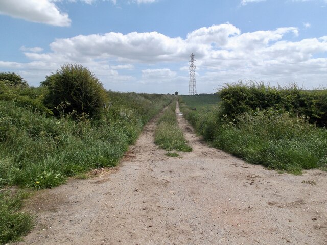
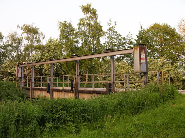
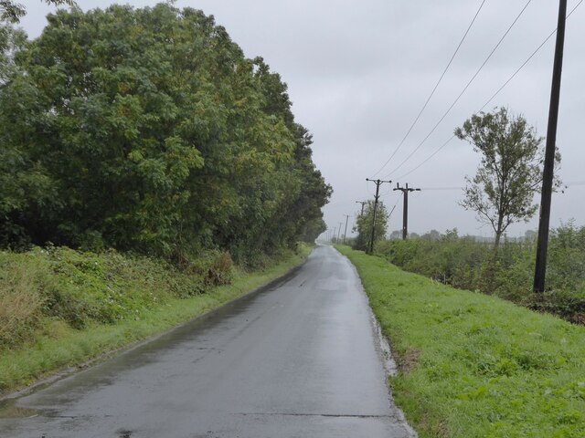
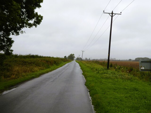
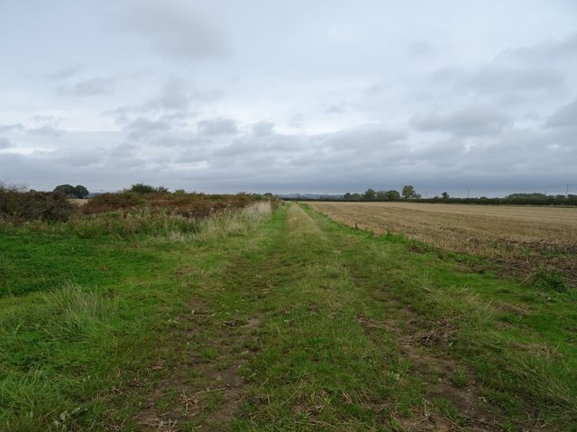
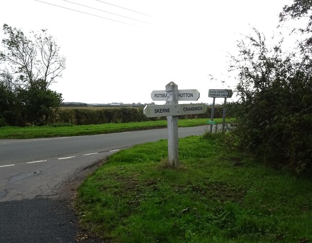
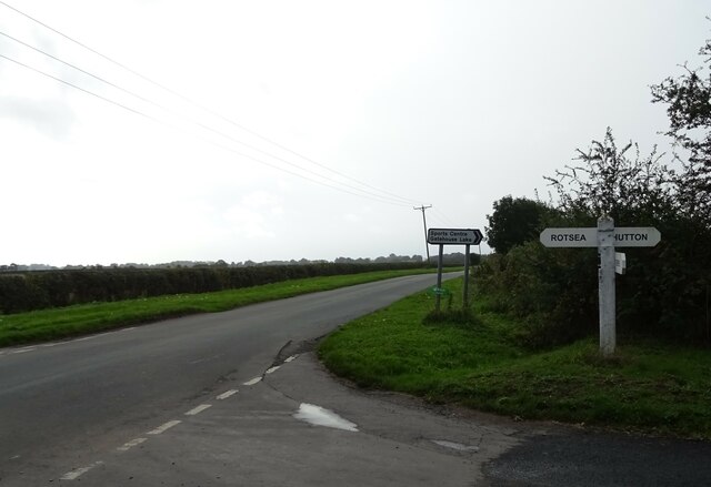
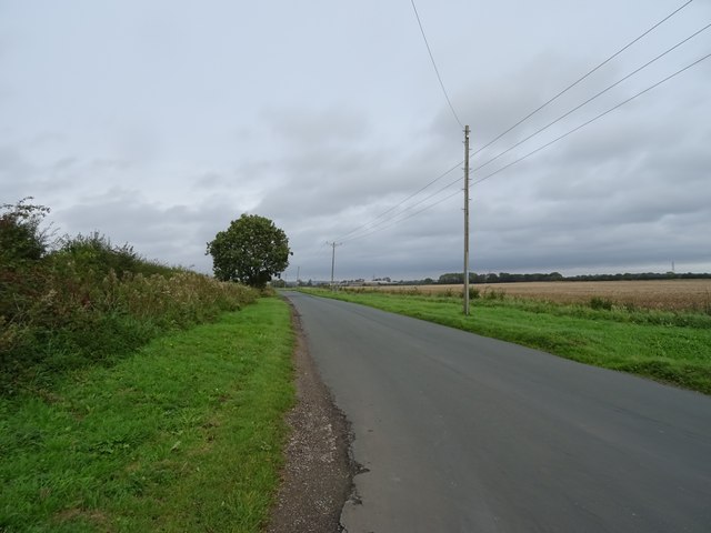
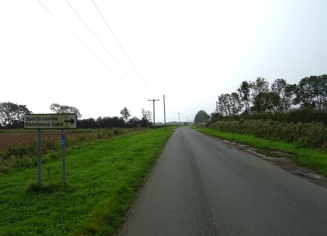
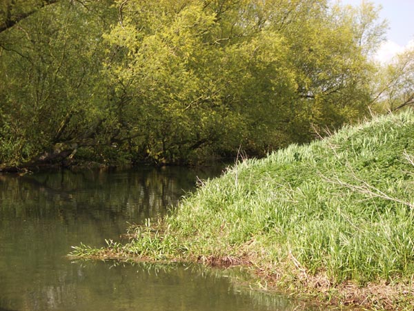
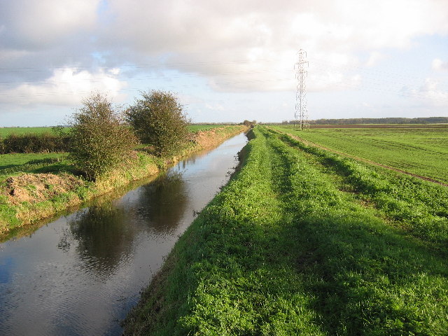
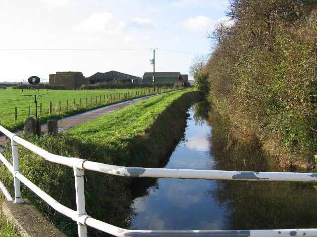
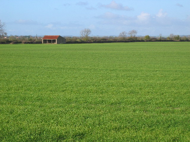
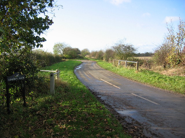
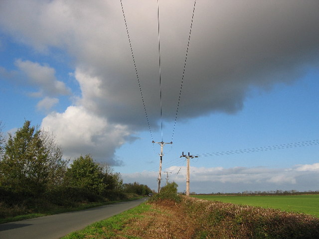
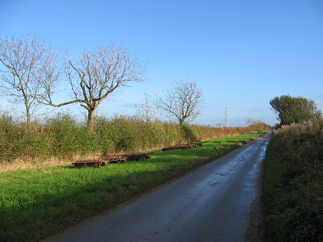
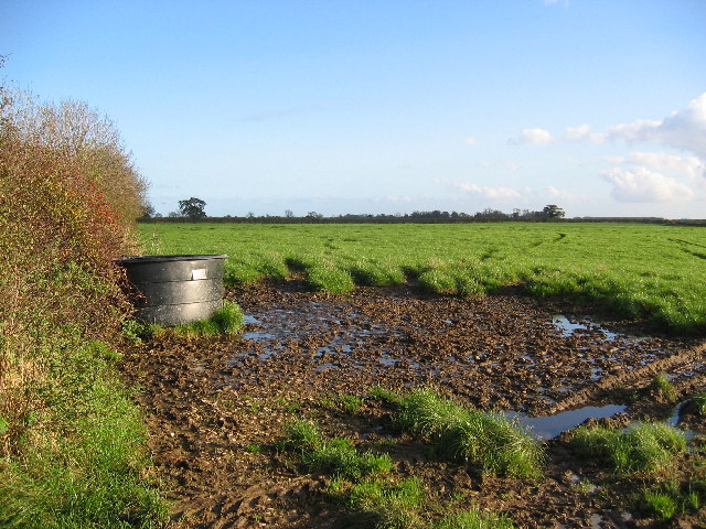
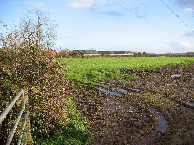
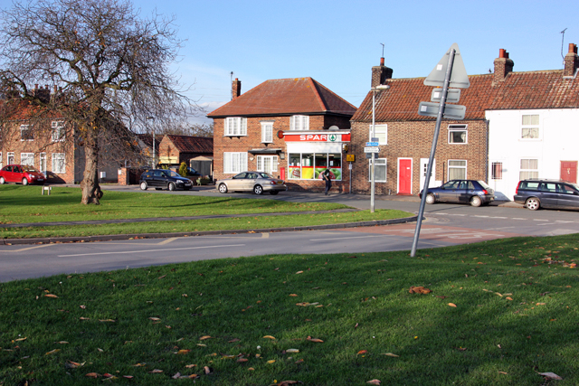
Cranswick Common Images

Images are sourced within 2km of 53.952805/-0.40239907 or Grid Reference TA0451. Thanks to Geograph Open Source API. All images are credited.

Track by Scurf Dyke
Track by Scurf Dyke
Navigable Limit Bridge This bridge is the navigable at Skerne Wetlands limit for small boats travelling upstream on this tributary of the River Hull.
Navigable Limit Bridge
This bridge is the navigable at Skerne Wetlands limit for small boats travelling upstream on this tributary of the River Hull.
Meggison's Turnpike The start of the road at Cranswick
Meggison's Turnpike
The start of the road at Cranswick
Meggison's Turnpike North of the junction with Corpslanding Road
Meggison's Turnpike
North of the junction with Corpslanding Road
Farm track off Rotsea Lane
Fingerpost on Meggison's Turnpike National Cycle Route 1.
Fingerpost on Meggison's Turnpike
National Cycle Route 1.
National Cycle Route 1 east of Hutton Looking south on Meggison's Turnpike.
National Cycle Route 1 east of Hutton
Looking south on Meggison's Turnpike.
National Cycle Route 1 towards Driffield Heading north on Meggison's Turnpike.
National Cycle Route 1 towards Driffield
Heading north on Meggison's Turnpike.
Looking south on National Cycle Route 1 east of Hutton
Corps Landing It used to be an wharf for the people of Hutton Cranswick. There are loading bays cut into the bank under the trees, but these have mostly silted up.
Corps Landing
It used to be an wharf for the people of Hutton Cranswick. There are loading bays cut into the bank under the trees, but these have mostly silted up.
Scurf Dike A typical view of this area, looking east along the shallow Scurf Dike.
Scurf Dike
A typical view of this area, looking east along the shallow Scurf Dike.
Whinnyforth farm Looking along Scurf Dike to Whinnyforth farm.
Whinnyforth farm
Looking along Scurf Dike to Whinnyforth farm.
Cranswick Common View NW, a typical view of the open countryside in this area.
Cranswick Common
View NW, a typical view of the open countryside in this area.
Common Farm View west along the road to Common Farm which is near the east edge of the grid square.
Common Farm
View west along the road to Common Farm which is near the east edge of the grid square.
East of Cranswick View north along the road which runs NS through the grid square towards Skern. This area is all flat farmland.
East of Cranswick
View north along the road which runs NS through the grid square towards Skern. This area is all flat farmland.
Road at TA0402553022 The road just cuts in the bottom SW corner of the grid square. It's all farmland in this area.
Road at TA0402553022
The road just cuts in the bottom SW corner of the grid square. It's all farmland in this area.
Farmland at TA0508152744 View east, a typical scene of the land in this grid square.
Farmland at TA0508152744
View east, a typical scene of the land in this grid square.
Corpslanding Holme Farm A typical wet and muddy scene looking east to the farm which is near the top NE corner of the grid square.
Corpslanding Holme Farm
A typical wet and muddy scene looking east to the farm which is near the top NE corner of the grid square.
Show me another place!

Cranswick Common is located at Grid Ref: TA0451 (Lat: 53.952805, Lng: -0.40239907)

Division: East Riding

Unitary Authority: East Riding of Yorkshire

Police Authority: Humberside

What 3 Words

///tributes.coping.skis. Near Watton, East Yorkshire

Nearby Locations

Cranswick Common

Related Wikis

Rotsea

Rotsea is a hamlet and former civil parish, now in the parish of Hutton Cranswick, in the East Riding of Yorkshire, England. It is situated approximately...

Hutton Cranswick railway station

Hutton Cranswick railway station serves the village of Hutton Cranswick in the East Riding of Yorkshire, England. It is located on the Yorkshire Coast...

Hutton Cranswick

Hutton Cranswick is a village and civil parish in the East Riding of Yorkshire, England. It is situated approximately 3 miles (5 km) south from Driffield...

Bethells Bridge

Bethells Bridge, a swing bridge on the Driffield Navigation in the East Riding of Yorkshire, England. The bridge was built to access land cut off after...

Nearby Amenities

Located within 500m of 53.952805,-0.40239907
Power: tower
Lat/Long: 53.9492036/-0.4010014
Power: tower
Lat/Long: 53.9544754/-0.4038338
Power: tower
Lat/Long: 53.9519438/-0.402482
The data included in this document is from www.openstreetmap.org. The data is made available under ODbL.

Have you been to Cranswick Common?

Leave your review of Cranswick Common below (or comments, questions and feedback).