Bullywells Plantation South

Wood, Forest in Lincolnshire North Kesteven

England

Bullywells Plantation South

Grantham Road towards Sleaford
Grantham Road towards Sleaford Credit: Ian S

Bullywells Plantation South, located in Lincolnshire, is a stunning woodland area known for its natural beauty and diverse ecosystem. Spanning over several acres, this enchanting forest is a popular destination for nature enthusiasts, hikers, and wildlife lovers alike.

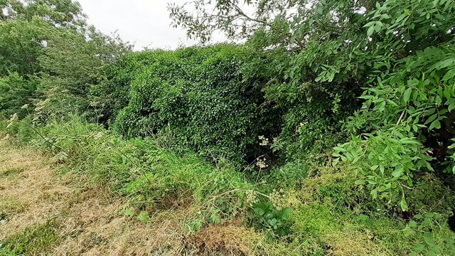
The plantation is characterized by its dense canopy of trees, predominantly consisting of tall oak, beech, and ash trees. These majestic specimens create a sense of tranquility and provide a haven for numerous species of birds, insects, and small mammals. The forest floor is adorned with a rich carpet of wildflowers and ferns, adding to the area's allure.

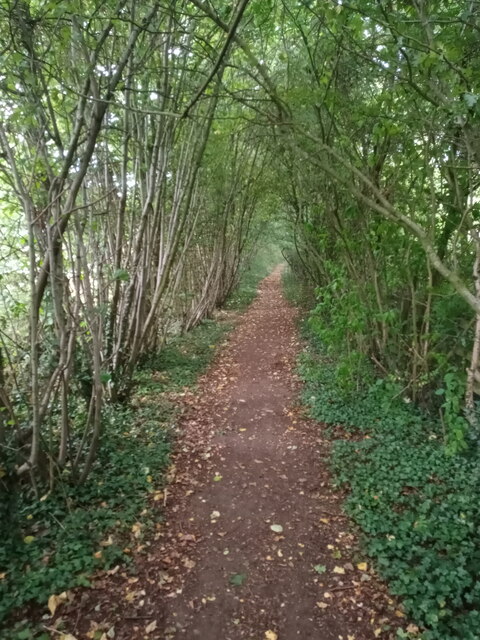
Visitors can explore the plantation through a network of well-maintained walking trails, allowing them to immerse themselves in the enchanting surroundings. The paths wind through the woods, offering glimpses of picturesque ponds, babbling brooks, and small clearings where sunlight filters through the dense foliage.

Bullywells Plantation South is not only a haven for wildlife but also a place of cultural and historical significance. The area has remnants of ancient settlements, with evidence of human habitation dating back centuries. Archaeological findings in the region have unearthed artifacts that shed light on the lives of past inhabitants.

Overall, Bullywells Plantation South is a remarkable woodland in Lincolnshire, offering a unique blend of natural beauty and historical significance. Whether one seeks a peaceful retreat or a chance to connect with nature, this plantation provides an unforgettable experience for all who venture within its boundaries.

If you have any feedback on the listing, please let us know in the comments section below.

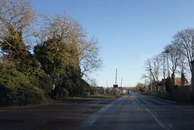
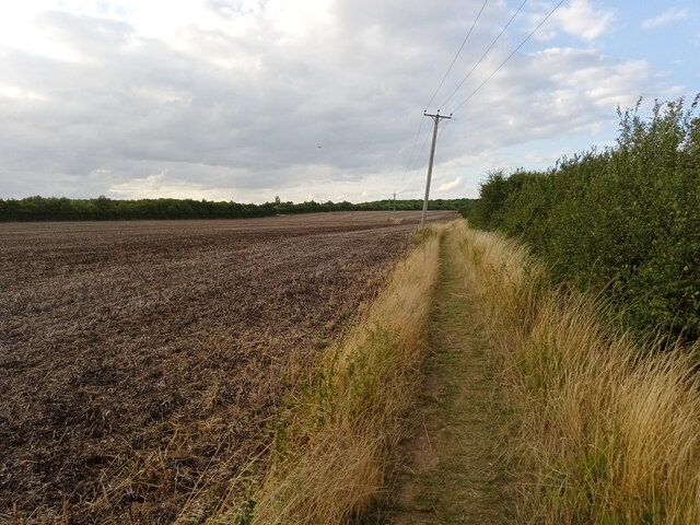
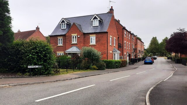
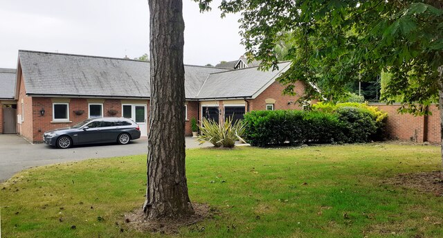
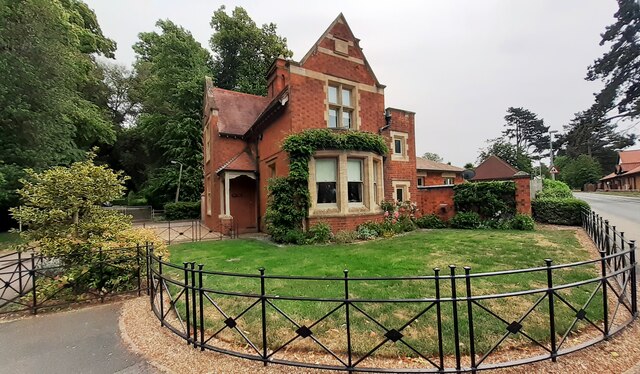
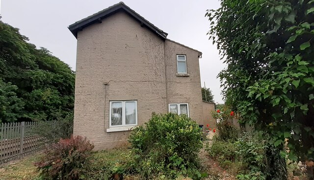
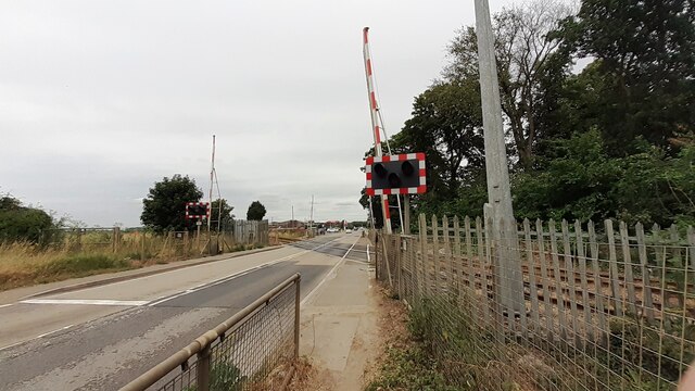
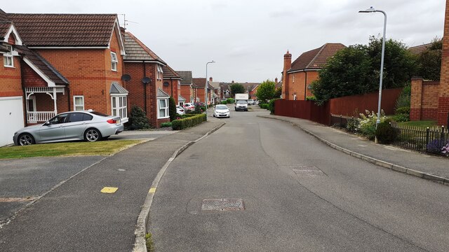
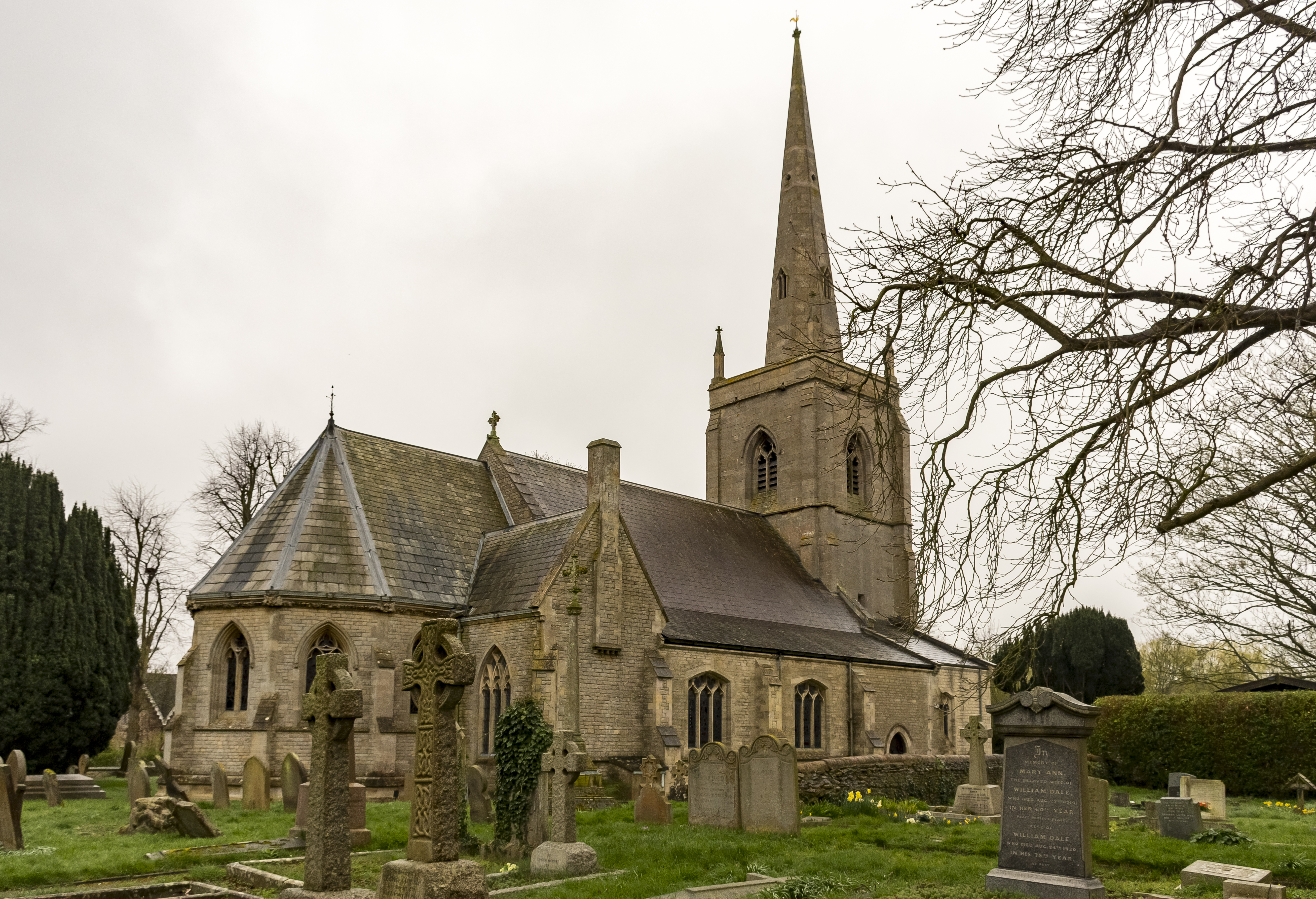
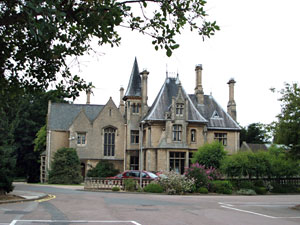
Bullywells Plantation South Images

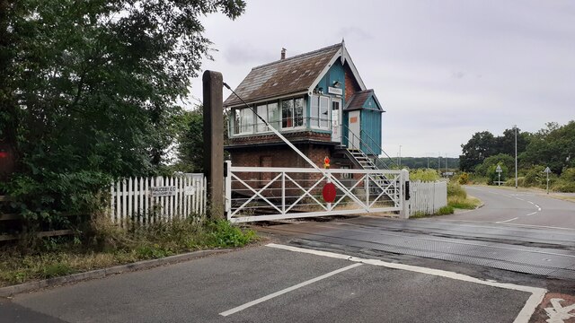
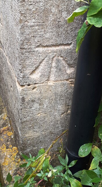
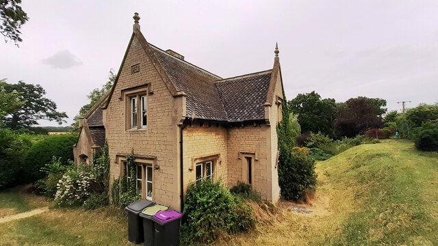
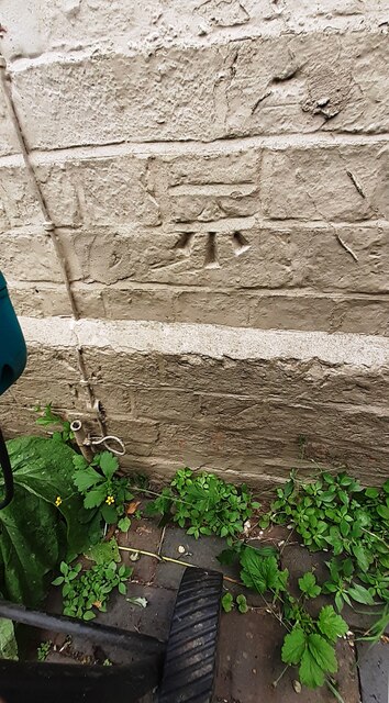
Images are sourced within 2km of 52.998422/-0.44652348 or Grid Reference TF0445. Thanks to Geograph Open Source API. All images are credited.

Grantham Road towards Sleaford
Stubble by the path The field to the left has produced its crop.  Not sure what it was but it's gone now!  Whatever it was, the field looks much better in June <a href="https://www.geograph.org.uk/photo/6189888">TF0546 : Footpath from Drove Lane to Holdingham</a>.
Stubble by the path
The field to the left has produced its crop. Not sure what it was but it's gone now! Whatever it was, the field looks much better in June TF0546 : Footpath from Drove Lane to Holdingham.
Natural arch Not a coastal arch, but a woodland arch comprising the public footpath to the east of the A15 as it nears the roundabout at Holdingham.
Natural arch
Not a coastal arch, but a woodland arch comprising the public footpath to the east of the A15 as it nears the roundabout at Holdingham.
Grass track to the A17 This is a continuation of a bridleway which ends at the Leasingham/Sleaford parish boundary. There is no indication that the bridleway has ended and I suspect it is frequently used by walkers and horse riders.
Grass track to the A17
This is a continuation of a bridleway which ends at the Leasingham/Sleaford parish boundary. There is no indication that the bridleway has ended and I suspect it is frequently used by walkers and horse riders.
Electricity substation on north side of Grantham Lane opposite Northfield Road Ordnance Survey documents indicate that a benchmark was levelled at 29.780m above Newlyn Datum in 1955 on a telephone exchange, the rendered building behind the substation
Electricity substation on north side of Grantham Lane opposite Northfield Road
Ordnance Survey documents indicate that a benchmark was levelled at 29.780m above Newlyn Datum in 1955 on a telephone exchange, the rendered building behind the substation
Looking northwards along Renfrew Drive from Willoughby Road junction
Bungalow on east side of Willoughby Road
Benchmark on West Lodge on east side of Willoughby Road Ordnance Survey cut mark benchmark levelled at 21.930m above Newlyn Datum verified 1969
Benchmark on West Lodge on east side of Willoughby Road
Ordnance Survey cut mark benchmark levelled at 21.930m above Newlyn Datum verified 1969
West Lodge at Kinross Road / Willoughby Road junction There is an Ordnance Survey benchmark <a href="https://www.geograph.org.uk/photo/7530668">TF0343 : Benchmark on West Lodge on east side of Willoughby Road</a>  on the SW corner of the lodge
West Lodge at Kinross Road / Willoughby Road junction
There is an Ordnance Survey benchmark TF0343 : Benchmark on West Lodge on east side of Willoughby Road on the SW corner of the lodge
Rauceby Signal box and Willoughby Road level crossing
Benchmark on house #53 Ordnance Survey cut mark benchmark levelled at 20.831m above Newlyn Datum in 1955 and verified in 1969
Benchmark on house #53
Ordnance Survey cut mark benchmark levelled at 20.831m above Newlyn Datum in 1955 and verified in 1969
House Nos. 52 and 53 at junction of Gantham Road and Rauceby Drove There is an Ordnance Survey benchmark <a href="https://www.geograph.org.uk/photo/7530962">TF0344 : Benchmark on house #53</a> on the near corner of the building (which has an 1852 date stone)  between the right-hand wheelie bin and the black downpipe.
House Nos. 52 and 53 at junction of Gantham Road and Rauceby Drove
There is an Ordnance Survey benchmark TF0344 : Benchmark on house #53 on the near corner of the building (which has an 1852 date stone) between the right-hand wheelie bin and the black downpipe.
Benchmark on Greylees Cottage on south side of Grantham Road Ordnance Survey cut mark benchmark levelled at 20.806m above Newlyn Datum in 1955
Benchmark on Greylees Cottage on south side of Grantham Road
Ordnance Survey cut mark benchmark levelled at 20.806m above Newlyn Datum in 1955
Greylees Cottage, former level crossing keeper's house There is an Ordnance Survey benchmark <a href="https://www.geograph.org.uk/photo/7531009">TF0444 : Benchmark on Greylees Cottage on south side of Grantham Road</a> on the right hand corner of the house
Greylees Cottage, former level crossing keeper's house
There is an Ordnance Survey benchmark TF0444 : Benchmark on Greylees Cottage on south side of Grantham Road on the right hand corner of the house
Quarrington Level Crossing for Grantham Road (A153) across railway
Benchmark on small ivy clad building on south side of Grantham Road Ordnance Survey cut mark benchmark levelled at 20.652m above Newlyn Datum in 1955 and verified in 1970
Benchmark on small ivy clad building on south side of Grantham Road
Ordnance Survey cut mark benchmark levelled at 20.652m above Newlyn Datum in 1955 and verified in 1970
Ivy-clad building in corner of field on south side of Grantham Road There is an Ordnance Survey benchmark <a href="https://www.geograph.org.uk/photo/7531084">TF0444 : Benchmark on small ivy clad building on south side of Grantham Road</a>  on the near corner of the building
Ivy-clad building in corner of field on south side of Grantham Road
There is an Ordnance Survey benchmark TF0444 : Benchmark on small ivy clad building on south side of Grantham Road on the near corner of the building
View down Hood Close
Show me another place!

Bullywells Plantation South is located at Grid Ref: TF0445 (Lat: 52.998422, Lng: -0.44652348)

Administrative County: Lincolnshire

District: North Kesteven

Police Authority: Lincolnshire

What 3 Words

///waiters.isolating.engages. Near Sleaford, Lincolnshire

Related Wikis

South Rauceby Hall

South Rauceby Hall, South Rauceby, Lincolnshire, England is a country house dating from the mid-19th century. It was designed by William Burn in 1842 for...

Rauceby railway station

Rauceby railway station is a station near the town of Sleaford, Lincolnshire, England, lying close to the western border of the Parish of Old Sleaford...

St Botolph's Church, Quarrington

St Botolph's Church is an Anglican church in Quarrington in Lincolnshire, England. The area has been settled since at least the Anglo-Saxon period, and...

Rauceby Hospital

Rauceby Hospital, originally called Kesteven County Asylum, is a now-defunct mental institution in the parish of Quarrington, Lincolnshire, England. Originally...

Quarrington, Lincolnshire

Quarrington is a village and former civil parish, now part of the civil parish of Sleaford, in the North Kesteven district of Lincolnshire, England. The...

South Rauceby

South Rauceby is a village and civil parish in the North Kesteven district of Lincolnshire, England. It is situated 2.5 miles (4.0 km) west from Sleaford...

Sleaford Castle

Sleaford Castle is a medieval castle in Sleaford, Lincolnshire, England. Built by the Bishop of Lincoln in the early 1120s, it was habitable as late as...

Westholme House

Westholme House is a historic building in the English market town of Sleaford in Lincolnshire, set in 32 acres of parkland and school grounds. Built around...

Nearby Amenities

Located within 500m of 52.998422,-0.44652348
Boiling Wells Farm
Alt Name: Bullywells Farm
Place: farm
Source: Bing
Lat/Long: 52.9957504/-0.4461754
Bullywells Quarry
Place: locality
Source: Bing
Lat/Long: 52.9968057/-0.4492486
Power: pole
Lat/Long: 53.0023726/-0.4492593
Power: pole
Lat/Long: 53.0018109/-0.4487389
Power: pole
Lat/Long: 53.0012265/-0.4481328
Power: pole
Lat/Long: 53.0006584/-0.4476821
Power: pole
Lat/Long: 52.9967164/-0.4451501
Power: pole
Lat/Long: 52.9974041/-0.4446888
Power: pole
Lat/Long: 52.9983339/-0.4441202
Power: pole
Lat/Long: 52.9989344/-0.4437661
Power: pole
Lat/Long: 52.9998254/-0.4431975
Power: pole
Lat/Long: 53.0000869/-0.4471994
Power: pole
Lat/Long: 52.999522/-0.4465127
Power: pole
Lat/Long: 52.9991604/-0.4456759
Power: pole
Lat/Long: 52.9987956/-0.4448015
Power: pole
Lat/Long: 52.9984081/-0.4438466
Power: pole
Lat/Long: 52.9980143/-0.4430151
Power: pole
Lat/Long: 52.9976656/-0.44213
Power: pole
Lat/Long: 52.9972717/-0.4411537
Power: pole
Lat/Long: 52.9970392/-0.4406762
Power: pole
Lat/Long: 52.9965711/-0.4402202
Power: pole
Lat/Long: 53.0023742/-0.4446352
Power: pole
Lat/Long: 53.0019384/-0.4441577
Power: pole
Lat/Long: 53.0013024/-0.4433906
Power: pole
Lat/Long: 53.0006309/-0.4426771
Power: pole
Lat/Long: 52.9960222/-0.4455766
The data included in this document is from www.openstreetmap.org. The data is made available under ODbL.

Have you been to Bullywells Plantation South?

Leave your review of Bullywells Plantation South below (or comments, questions and feedback).