Anlaby Common

Downs, Moorland in Yorkshire

England

Anlaby Common

Carr Lane, Willerby Public footpath/cycle path running along the northern edge of Springhead Park golf course. It has the same name as, and continues the course of, the residential road, but this section is closed to motorised traffic.
Carr Lane, Willerby Credit: Paul Harrop

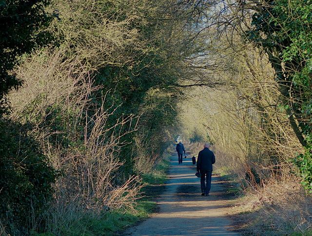
Anlaby Common, located in East Yorkshire, England, is a vast expanse of land characterized by its rolling hills, open moorland, and breathtaking views. Situated on the outskirts of Hull, this area offers a peaceful retreat from the bustling city life.

The common spans over 200 acres and is known for its diverse flora and fauna. It is a designated Site of Special Scientific Interest (SSSI) due to its high ecological value. Visitors can expect to witness a wide range of plant species, including heather, gorse, and bilberry, which create a colorful tapestry across the landscape.

Anlaby Common is also home to various wildlife species. Birdwatchers will delight in spotting species such as curlews, lapwings, and skylarks soaring through the skies. Additionally, the area provides habitat for small mammals like rabbits and hares, as well as reptiles like adders and slow worms.

Hiking enthusiasts will find plenty to explore on the network of footpaths that crisscross the common. These paths lead visitors over the undulating terrain, offering stunning views of the surrounding countryside. The common is also intersected by a number of bridleways, making it a popular destination for horse riders.

Aside from its natural beauty, Anlaby Common has a rich history. It was once used as common land, where local villagers could graze their livestock. Today, remnants of this history can still be seen in the form of old field boundaries and traditional dry stone walls.

Overall, Anlaby Common is a captivating destination for nature lovers, offering a tranquil escape and a chance to immerse oneself in the beauty of the Yorkshire Downs and Moorland.

If you have any feedback on the listing, please let us know in the comments section below.

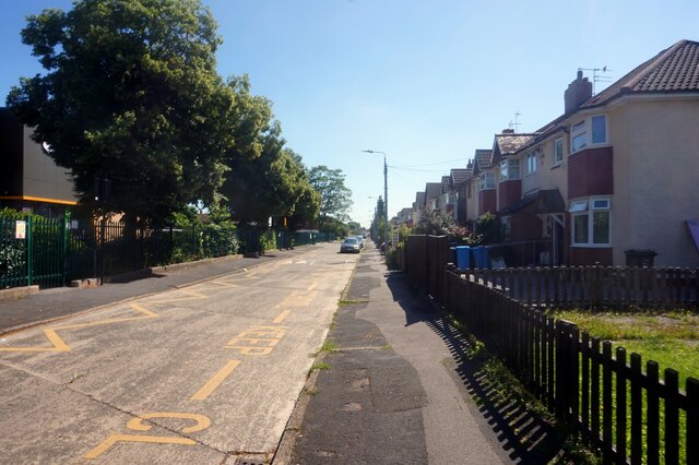
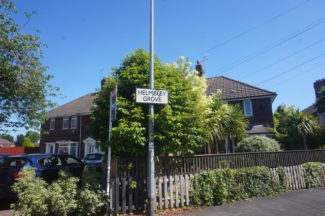
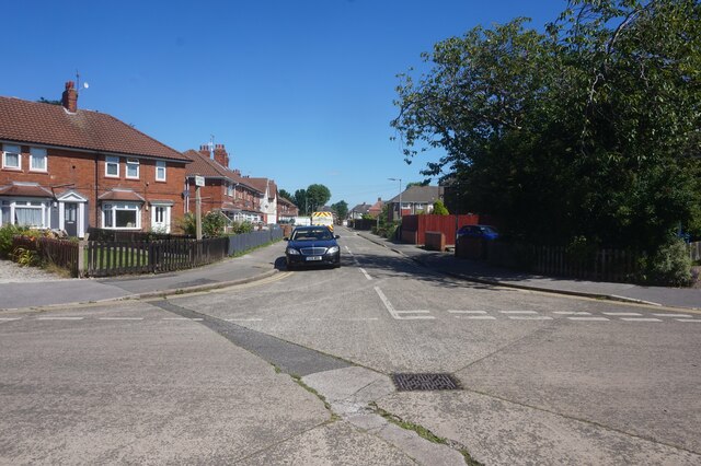
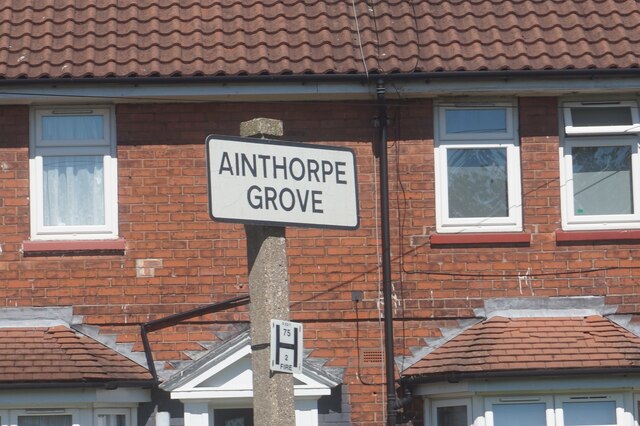
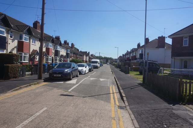
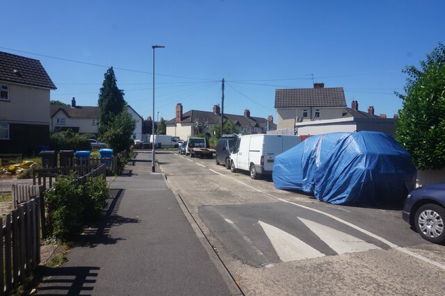
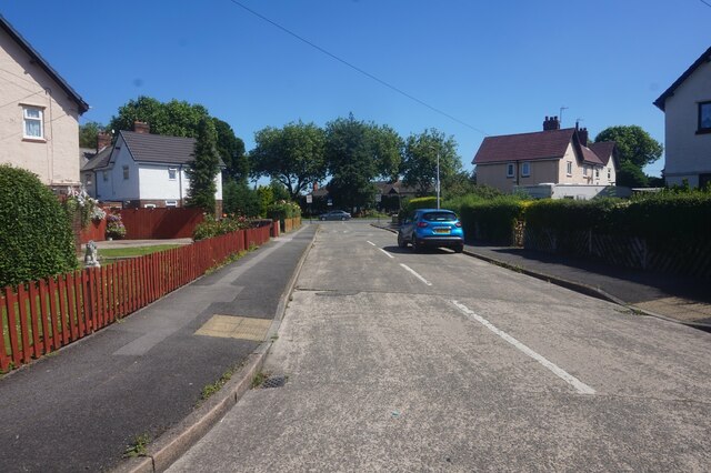
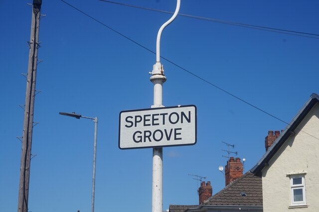
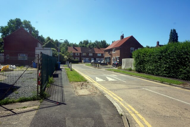
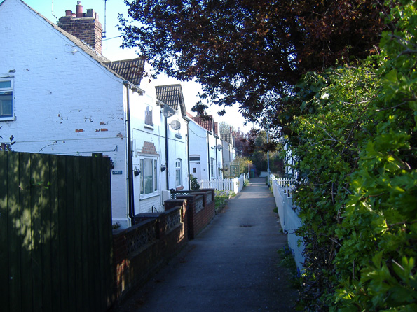
Anlaby Common Images

Images are sourced within 2km of 53.742762/-0.41808039 or Grid Reference TA0428. Thanks to Geograph Open Source API. All images are credited.

Carr Lane, Willerby Public footpath/cycle path running along the northern edge of Springhead Park golf course. It has the same name as, and continues the course of, the residential road, but this section is closed to motorised traffic.
Carr Lane, Willerby
Public footpath/cycle path running along the northern edge of Springhead Park golf course. It has the same name as, and continues the course of, the residential road, but this section is closed to motorised traffic.
Wold Road, Hull The western end of the road between Wymersley Road and Hotham Road South
Wold Road, Hull
The western end of the road between Wymersley Road and Hotham Road South
Garton Grove off Helmsley Grove, Hull
Helmsley Grove, Hull
Ainthorpe Grove, Hull
Easy Fix Mobile Tyres van on Ainthorpe Grove, Hull
Ampleforth Grove, Hull
Haltemprice Leisure, Anlaby The front of the recently-extended leisure centre/library/health centre on Springfield Way. The upper floor is given over to an extensive gym, while the library is on the ground floor to the left of the shot here. The new extension is the wing to the right: images of its construction earlier in 2021 can be seen here: <a href="https://www.geograph.org.uk/photo/6756219">TA0329 : Leisure centre extension work, Haltemprice</a> and here: <a href="https://www.geograph.org.uk/photo/6788861">TA0329 : Progress on leisure centre, Anlaby</a>.
Haltemprice Leisure, Anlaby
The front of the recently-extended leisure centre/library/health centre on Springfield Way. The upper floor is given over to an extensive gym, while the library is on the ground floor to the left of the shot here. The new extension is the wing to the right: images of its construction earlier in 2021 can be seen here: TA0329 : Leisure centre extension work, Haltemprice and here: TA0329 : Progress on leisure centre, Anlaby.
Hackness Grove off Anlady Road, Hull
Ampleforth Grove, Hull
Speeton Grove off Anlady Road, Hull
Dunston Road off Spring Bank West, Hull
Spring Bank West near Dunston Road, Hull
Show me another place!

Anlaby Common is located at Grid Ref: TA0428 (Lat: 53.742762, Lng: -0.41808039)

Division: East Riding

Unitary Authority: East Riding of Yorkshire

Police Authority: Humberside

What 3 Words

///jazz.state.full. Near Hessle, East Yorkshire

Related Wikis

Anlaby with Anlaby Common

Anlaby with Anlaby Common is a civil parish in the East Riding of Yorkshire, England. The parish includes the village suburb of Anlaby and the part of...

Skerne and Wansford

Skerne and Wansford is a civil parish in the East Riding of Yorkshire, England. It is situated approximately 2 miles (3.2 km) south-east of the town of...

Anlaby Park

Anlaby Park is a small suburb just inside the city of Kingston upon Hull, England, to the west.

Anlaby Common

Anlaby Common is former common land, now an outer suburb of Kingston upon Hull. The area includes the residential areas which are located on the western...

Kingston upon Hull West and Hessle (UK Parliament constituency)

Kingston upon Hull West and Hessle is a borough constituency for the House of Commons of the Parliament of the United Kingdom. It elects one Member of...

Springhead engine shed

Springhead engine shed was an engine shed located in the City of Kingston upon Hull in Yorkshire, England and was opened by the Hull and Barnsley Railway...

Springhead Halt railway station

Springhead Halt railway station was a station on the former Hull and Barnsley Railway, close to the hamlet of Wolfreton; it served the village of Anlaby...

Anlaby

Anlaby is a village forming part of the western suburbs of Kingston upon Hull, in the East Riding of Yorkshire, England. It forms part of the civil parish...

Nearby Amenities

Located within 500m of 53.742762,-0.41808039
Traffic Signals
Lat/Long: 53.7463058/-0.4206665
Anlaby Common
Is In: East Riding of Yorkshire, England, UK
Is In County: East Riding of Yorkshire
Place: village
Wikidata: Q4766132
Lat/Long: 53.7455292/-0.4145216
Traffic Signals
Lat/Long: 53.7462434/-0.4207629
Turning Circle
Lat/Long: 53.7385877/-0.4166793
Turning Circle
Lat/Long: 53.7390624/-0.4161841
Post Box
Post Box Type: pillar
Royal Cypher: GR
Royal Cypher Wikidata: Q33102273
Lat/Long: 53.7446334/-0.415102
Bus Stop
Anlaby Hull Road
Bench: no
Bin: no
Kerb: raised
Lit: yes
Naptan AtcoCode: 2200YEA00155
Naptan Bearing: W
Naptan CommonName: Anlaby Hull Road
Naptan Landmark: Church
Naptan PlusbusZoneRef: HULL
Naptan Street: Hull Road
Shelter: yes
Source: naptan + survey
Tactile Paving: no
Lat/Long: 53.7446277/-0.4141364
Bus Stop
Anlaby Hull Road
Bench: no
Bin: no
Check Date Shelter: 2022-10-31
Kerb: raised
Lit: yes
Naptan AtcoCode: 2200YEA00156
Naptan Bearing: E
Naptan CommonName: Anlaby Hull Road
Naptan Landmark: Anlaby Park
Naptan PlusbusZoneRef: HULL
Naptan Street: Hull Road
Shelter: yes
Source: naptan + survey
Tactile Paving: no
Lat/Long: 53.744484/-0.413125
Bus Stop
Anlaby Hull Road
Kerb: raised
Naptan AtcoCode: 2200YEA00157
Naptan Bearing: SE
Naptan CommonName: Anlaby Hull Road
Naptan Landmark: St Mark'S Church
Naptan PlusbusZoneRef: HULL
Naptan Street: Hull Road
Note: no sign board, but stop in use
Shelter: yes
Source: naptan + survey
Lat/Long: 53.7450907/-0.4163997
Bus Stop
Anlaby Hull Road
Kerb: raised
Naptan AtcoCode: 2200YEA00158
Naptan Bearing: W
Naptan CommonName: Anlaby Hull Road
Naptan Landmark: Opposite Number 201
Naptan PlusbusZoneRef: HULL
Naptan Street: Hull Road
Note: no code on sign
Shelter: no
Source: naptan + survey
Lat/Long: 53.7445865/-0.4181558
Bus Stop
Anlaby Hull Road
Naptan AtcoCode: 2200YEA00159
Naptan Bearing: E
Naptan CommonName: Anlaby Hull Road
Naptan Landmark: Outside Number 153
Naptan PlusbusZoneRef: HULL
Naptan Street: Hull Road
Note: no code on sign
Shelter: no
Source: naptan + survey
Lat/Long: 53.7444294/-0.4219226
Bus Stop
Anlaby Hull Road
Naptan AtcoCode: 2200YEA00160
Naptan Bearing: W
Naptan CommonName: Anlaby Hull Road
Naptan Landmark: Anlaby Infants School
Naptan PlusbusZoneRef: HULL
Naptan Street: Hull Road
Note: no code on sign
Shelter: no
Source: naptan_+ survey
Lat/Long: 53.74439/-0.4223335
Crossing
Lat/Long: 53.743641/-0.4244031
Turning Circle
Lat/Long: 53.7433991/-0.4141085
Turning Circle
Lat/Long: 53.7426193/-0.4142536
Turning Circle
Lat/Long: 53.7423116/-0.4119057
Turning Circle
Lat/Long: 53.7430581/-0.4114021
Crossing
Crossing: marked
Tactile Paving: yes
Lat/Long: 53.7452105/-0.4180461
Crossing
Crossing: marked
Tactile Paving: yes
Lat/Long: 53.7452604/-0.4180231
Noexit: yes
Lat/Long: 53.7455353/-0.4143087
Noexit: yes
Lat/Long: 53.745259/-0.4129495
Noexit: yes
Lat/Long: 53.7454866/-0.4140875
Telephone
Booth: K6
Colour: white
Covered: booth
Phone: +44 1482 352115
Lat/Long: 53.7444999/-0.4150131
The data included in this document is from www.openstreetmap.org. The data is made available under ODbL.

Have you been to Anlaby Common?

Leave your review of Anlaby Common below (or comments, questions and feedback).