Kettleby Parks
Downs, Moorland in Lincolnshire West Lindsey
England
Kettleby Parks
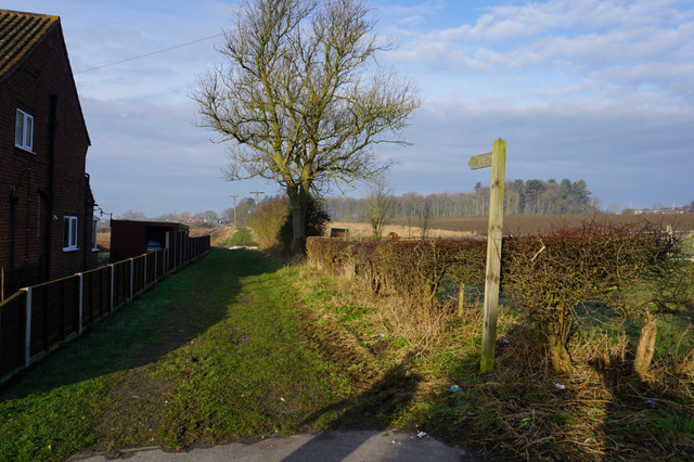
Kettleby Parks is a picturesque area located in Lincolnshire, England. Situated amidst the enchanting Downs and Moorland, it offers visitors breathtaking views and a tranquil atmosphere. The beauty of the landscape is one of the main attractions of this area, attracting nature lovers, hikers, and photographers alike.
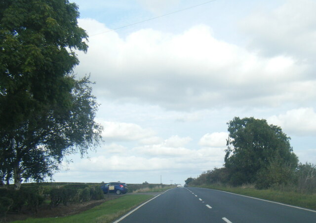
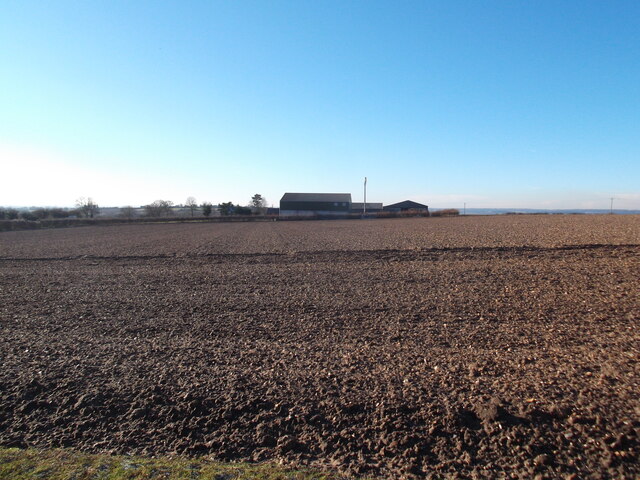
The Downs in Kettleby Parks are characterized by rolling hills, vast meadows, and lush greenery. The undulating terrain provides visitors with magnificent panoramas and an opportunity to immerse themselves in the natural surroundings. The area is home to diverse flora and fauna, with colorful wildflowers dotting the landscape and various species of birds soaring through the skies.
In contrast, the Moorland in Kettleby Parks offers a unique and rugged beauty. It features expansive heather-covered moors, scattered with rocky outcrops and ancient trees. Moorland wildlife thrives in this habitat, with species such as wild ponies and red grouse commonly spotted.
Visitors to Kettleby Parks can enjoy a range of outdoor activities, including hiking, birdwatching, and picnicking. There are well-maintained walking trails that wind through the Downs and Moorland, offering opportunities to explore the area and take in the stunning surroundings. The peaceful ambiance of Kettleby Parks also makes it an ideal spot for relaxation and meditation.
Overall, Kettleby Parks in Lincolnshire is a haven for nature enthusiasts and those seeking solace amidst breathtaking landscapes. Whether it is the gentle slopes of the Downs or the rugged beauty of the Moorland, visitors are sure to appreciate the natural wonders that this area has to offer.
If you have any feedback on the listing, please let us know in the comments section below.
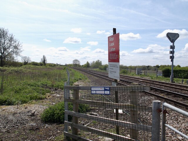
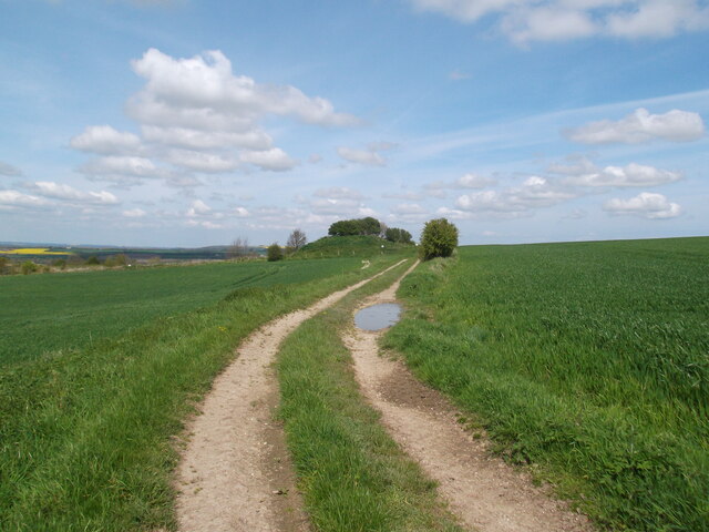
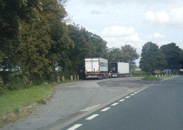
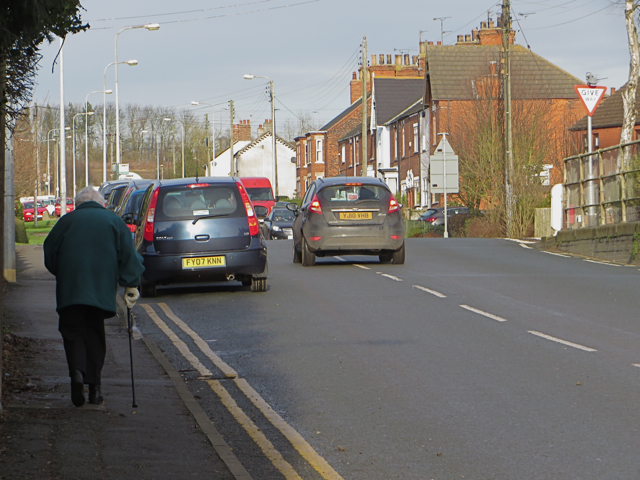
Kettleby Parks Images
Images are sourced within 2km of 53.564214/-0.42523373 or Grid Reference TA0408. Thanks to Geograph Open Source API. All images are credited.


Kettleby Parks is located at Grid Ref: TA0408 (Lat: 53.564214, Lng: -0.42523373)
Administrative County: Lincolnshire
District: West Lindsey
Police Authority: Lincolnshire
What 3 Words
///access.kettles.imagined. Near Barnetby le Wold, Lincolnshire
Nearby Locations
Related Wikis

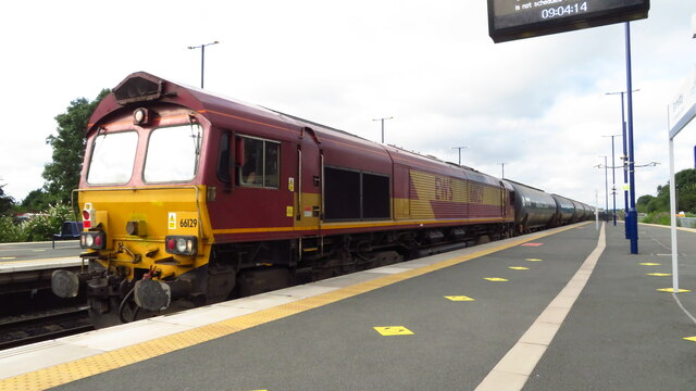
Wrawby Junction
Wrawby Junction is a busy railway junction located a short distance west of Barnetby, North Lincolnshire, England and controls the confluence of the Network...

Wrawby Junction rail crash
The Wrawby Junction rail crash was a train crash which occurred on 9 December 1983, at Wrawby Junction, near Barnetby station, North Lincolnshire, England...
1898 Wrawby Junction rail crash
On 17 October 1898 at Wrawby Junction, on what was the Great Central Railway near Brigg in Lincolnshire, England, a passenger train collided with a derailed...
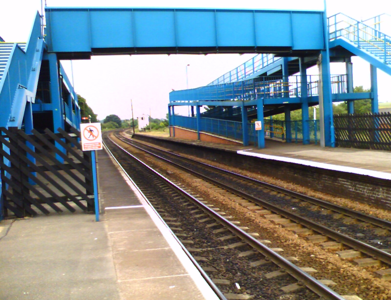
Barnetby railway station
Barnetby railway station serves the village of Barnetby-le-Wold in North Lincolnshire, England. It is operated by TransPennine Express, with East Midlands...
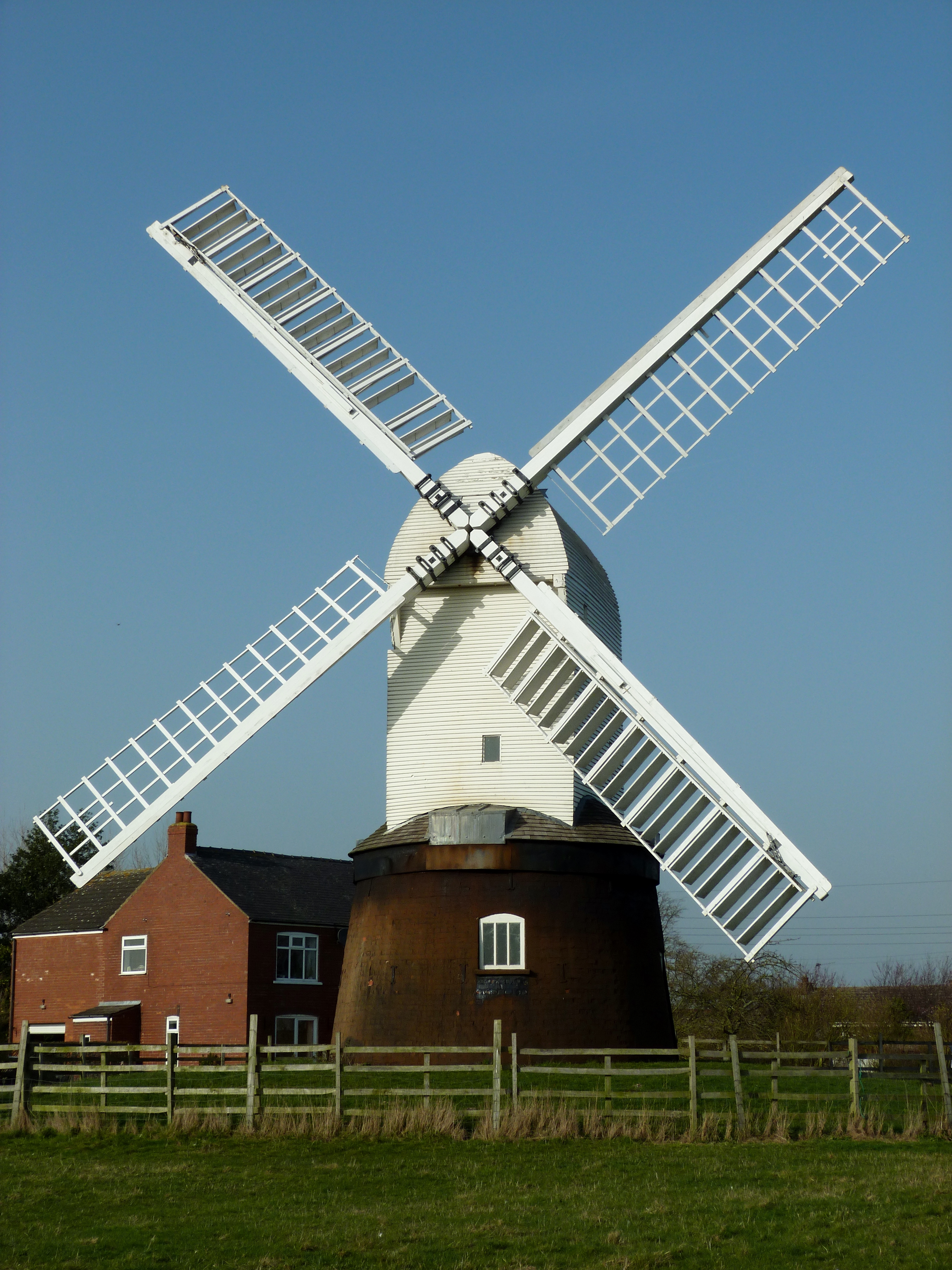
Wrawby Windmill
Wrawby Postmill is a windmill at Wrawby near Brigg, in North Lincolnshire, England. The mill is the last post mill in the north of England, and was built...

St Mary's Church, Barnetby
St Mary's Church is a redundant Anglican church in the village of Barnetby, Lincolnshire, England. It is recorded in the National Heritage List for England...
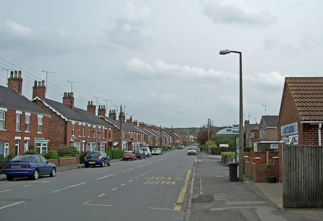
Barnetby le Wold
Barnetby le Wold is a village and civil parish in North Lincolnshire, Lincolnshire, England, located between Brigg and Immingham. The village is also near...

Bigby, Lincolnshire
Bigby is a village and civil parish in the West Lindsey district of Lincolnshire, England. The village is situated about 10 miles (20 km) south from the...
Nearby Amenities
Located within 500m of 53.564214,-0.42523373Have you been to Kettleby Parks?
Leave your review of Kettleby Parks below (or comments, questions and feedback).