Scopwick Heath
Downs, Moorland in Lincolnshire North Kesteven
England
Scopwick Heath

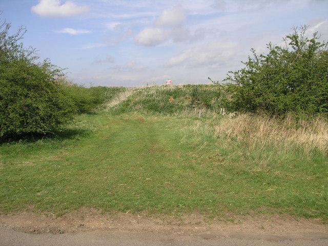
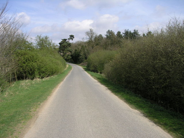
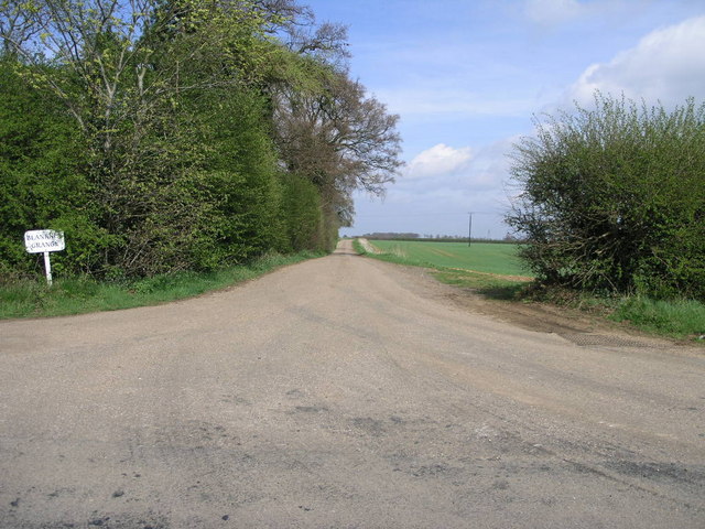
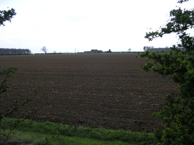
Scopwick Heath, located in Lincolnshire, England, is a diverse and picturesque natural area encompassing downs and moorland landscapes. Covering an expansive region, the heath is characterized by its rolling hills, open grasslands, and vast stretches of vibrant heather and gorse.
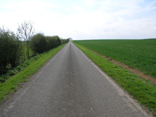
The downs of Scopwick Heath offer panoramic views of the surrounding countryside, with gently sloping hills that create a sense of tranquility and peace. The land is predominantly covered in lush green grass, dotted with wildflowers that add bursts of color to the landscape. These downs provide a vast area for outdoor activities such as hiking, picnicking, and birdwatching.
Moving towards the moorland section of Scopwick Heath, the scenery changes dramatically. Here, the land becomes more rugged, characterized by heather-covered hills and peat bogs. The moorland is home to a variety of wildlife, including rare birds like the hen harrier and merlin. Visitors can explore the moorland on designated trails, immersing themselves in the unique ecosystem and enjoying the serenity of this untamed landscape.
Scopwick Heath is also home to several small ponds and marshes, which attract a diverse array of water-loving creatures. These wetland areas provide habitats for frogs, newts, dragonflies, and a myriad of bird species. Nature enthusiasts and photographers can indulge in the beauty of these wetlands, capturing the serene reflections and the delicate dance of the aquatic life.
Overall, Scopwick Heath in Lincolnshire is a captivating natural area that offers a mix of downs, moorland, and wetland landscapes. Its diverse ecosystems, stunning views, and abundant wildlife make it an ideal destination for those seeking to immerse themselves in the beauty of nature.
If you have any feedback on the listing, please let us know in the comments section below.
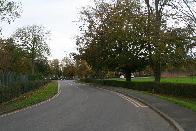
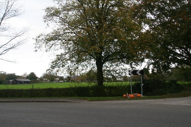
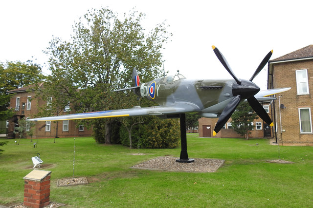
Scopwick Heath Images
Images are sourced within 2km of 53.108368/-0.44434196 or Grid Reference TF0457. Thanks to Geograph Open Source API. All images are credited.


Scopwick Heath is located at Grid Ref: TF0457 (Lat: 53.108368, Lng: -0.44434196)
Administrative County: Lincolnshire
District: North Kesteven
Police Authority: Lincolnshire
What 3 Words
///meals.cafe.discloses. Near Metheringham, Lincolnshire
Nearby Locations
Related Wikis

RAF Digby
Royal Air Force Digby otherwise known as RAF Digby is a Royal Air Force station located near Scopwick and 11.6 mi (18.7 km) south east of Lincoln, in Lincolnshire...

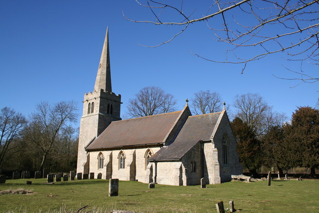
Scopwick
Scopwick is a small village and civil parish in the district of North Kesteven, Lincolnshire, England, situated 6 miles (9.7 km) south from Lincoln. The...
Ashby de la Launde
Ashby de la Launde is a small village, part of the civil parish of Ashby de la Launde and Bloxholm, in the North Kesteven district of Lincolnshire, England...
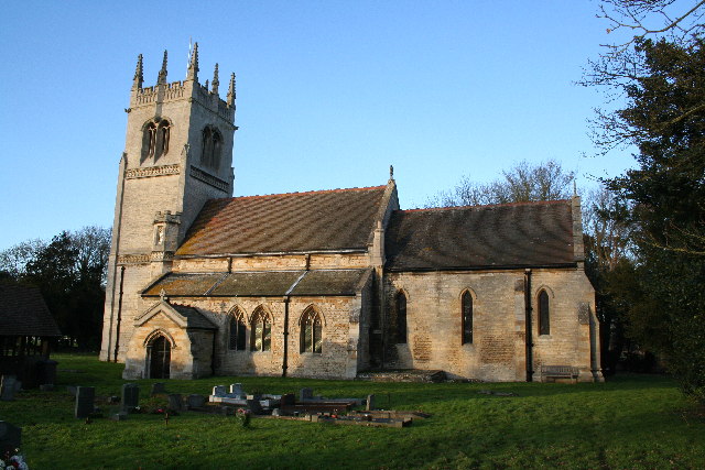
Blankney
Blankney is a village and civil parish in the North Kesteven district of Lincolnshire, England. The population of the civil parish at the 2011 census was...

Thompson's Bottom
Thompson's Bottom is a hamlet in the North Kesteven district of Lincolnshire, England. It is situated just under 0.5 miles (0.8 km) west from the A15 road...
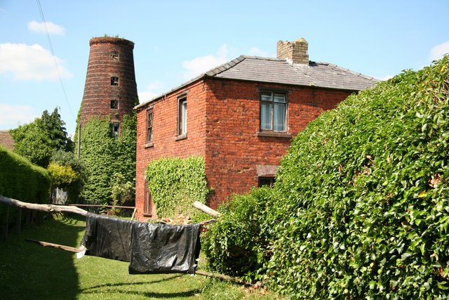
Metheringham Windmill
Metheringham Windmill, locally known as The Old Meg Flour Mill, was a six-storeyed, six-sailed, and tarred slender Lincolnshire type windmill with the...
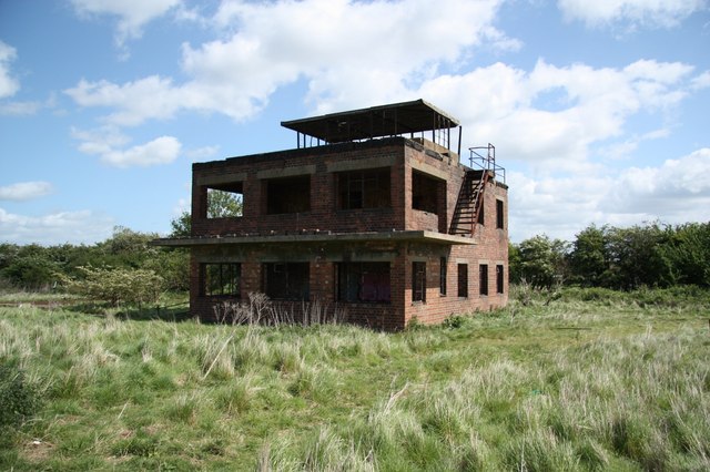
RAF Coleby Grange
Royal Air Force Coleby Grange or more simply RAF Coleby Grange was a Royal Air Force satellite station situated alongside the western edge of the A15 on...

Metheringham
Metheringham is a village and civil parish in the North Kesteven district of Lincolnshire, England. The population of the civil parish at the 2011 census...
Nearby Amenities
Located within 500m of 53.108368,-0.44434196Have you been to Scopwick Heath?
Leave your review of Scopwick Heath below (or comments, questions and feedback).