Metheringham Heath
Downs, Moorland in Lincolnshire North Kesteven
England
Metheringham Heath

Metheringham Heath is a village located in Lincolnshire, England, known for its picturesque landscape consisting of downs and moorland. Situated in the North Kesteven district, it is surrounded by beautiful rural scenery, making it a popular destination for nature enthusiasts and hikers.
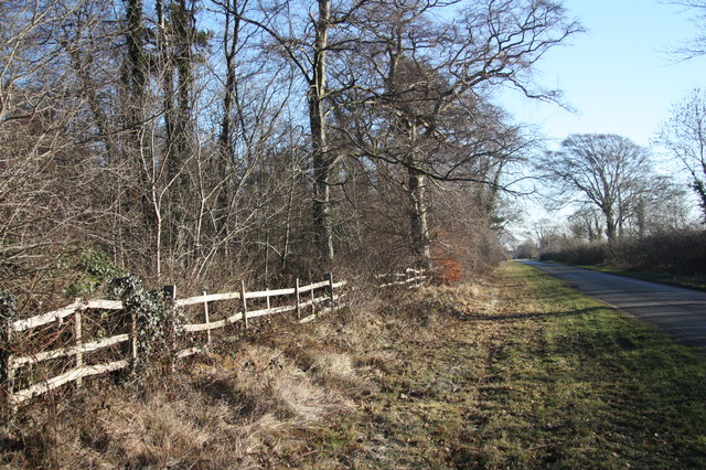
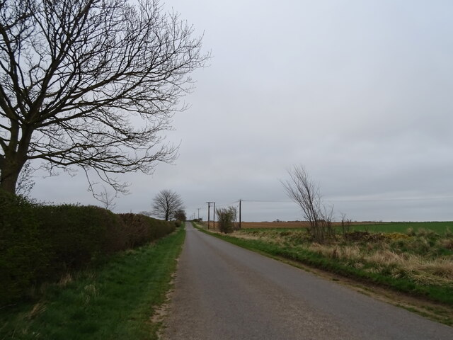
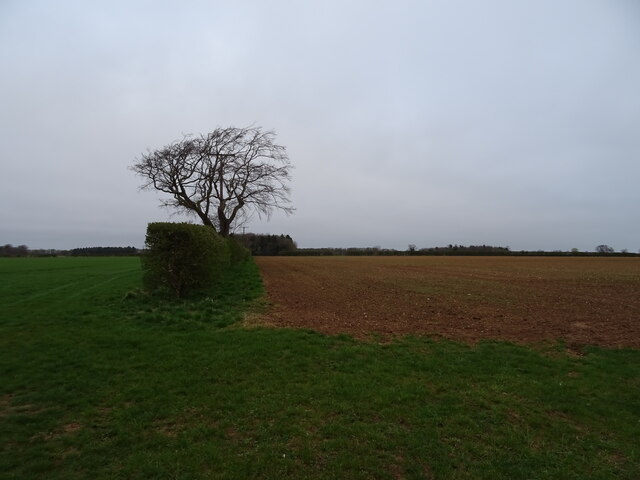
The downs in Metheringham Heath are characterized by their gently rolling hills and grassy slopes. These open spaces provide breathtaking views of the surrounding countryside and are ideal for leisurely walks or picnics. The area also boasts a diverse range of flora and fauna, including wildflowers and various bird species, making it a haven for wildlife enthusiasts.
In contrast, the moorland in Metheringham Heath offers a different landscape experience. This terrain is characterized by its heather-covered expanses, marshy areas, and small pools of water. Moorland vegetation includes heather, gorse, and grasses, creating a unique and vibrant ecosystem. The moorland is also home to several species of birds, such as curlews and lapwings, which thrive in this environment.
The village of Metheringham Heath itself is a charming and close-knit community. It offers a range of amenities, including a village hall, local shops, and a primary school, catering to the needs of its residents. The village also holds various events and activities throughout the year, fostering a strong sense of community spirit.
Overall, Metheringham Heath, with its downs and moorland, offers residents and visitors the opportunity to immerse themselves in the natural beauty of the Lincolnshire countryside. Whether exploring the rolling hills of the downs or experiencing the unique ecosystem of the moorland, this village provides a tranquil and idyllic setting for outdoor enthusiasts and those seeking a peaceful retreat.
If you have any feedback on the listing, please let us know in the comments section below.
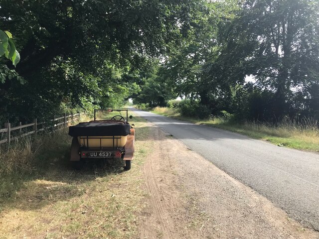
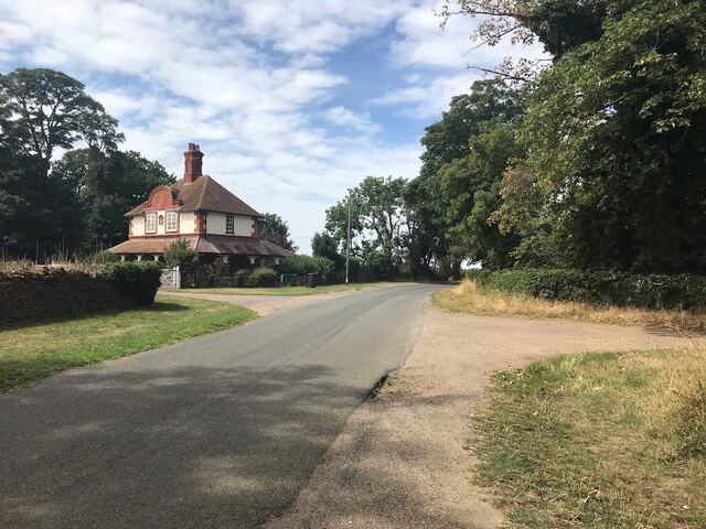
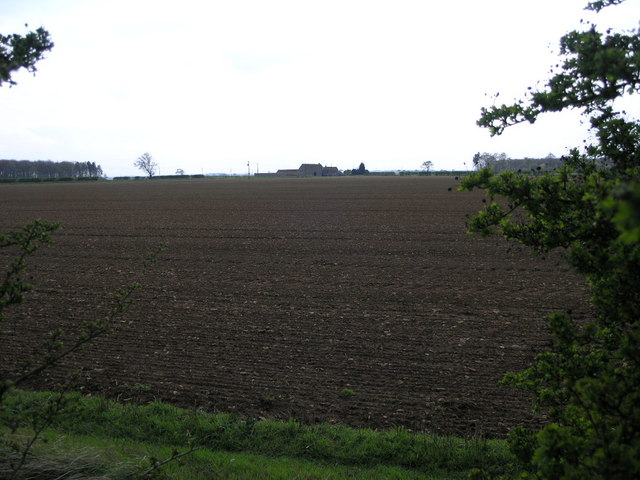
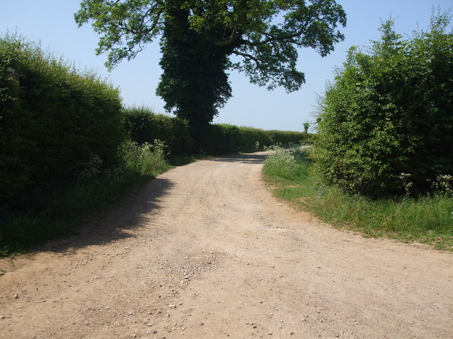
Metheringham Heath Images
Images are sourced within 2km of 53.13552/-0.45352645 or Grid Reference TF0360. Thanks to Geograph Open Source API. All images are credited.


Metheringham Heath is located at Grid Ref: TF0360 (Lat: 53.13552, Lng: -0.45352645)
Administrative County: Lincolnshire
District: North Kesteven
Police Authority: Lincolnshire
What 3 Words
///sizzled.prompt.manly. Near Metheringham, Lincolnshire
Nearby Locations
Related Wikis

Nocton Dairies controversy
Nocton Dairies is a British company which was formed by Devon farmer and cheese-maker Peter Willes and Lancashire milk producer David Barnes in order to...
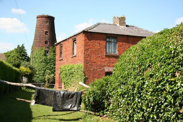
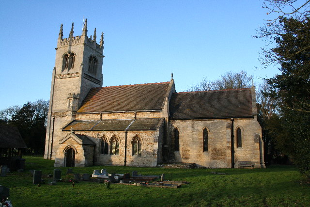
Metheringham Windmill
Metheringham Windmill, locally known as The Old Meg Flour Mill, was a six-storeyed, six-sailed, and tarred slender Lincolnshire type windmill with the...
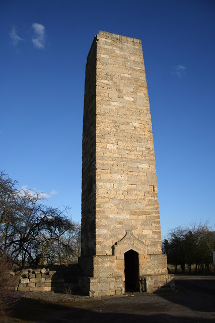
Dunston Pillar
Dunston Pillar is a Grade II listed stone tower in Lincolnshire, England and a former 'land lighthouse'. It stands beside the A15 road approximately 6...

Nocton rail crash
The Nocton rail crash was a rail accident that happened on 28 February 2002 near Nocton, Lincolnshire, England, after a vehicle smashed through a wall...

Nocton and Dunston railway station
Nocton and Dunston railway station served Nocton and Dunston in Lincolnshire which shared a GNR/GER Joint railway station until it was closed for passengers...

Lincolnshire potato railways
The Lincolnshire potato railways were a network of private, 1 ft 11+1⁄2 in (597 mm) narrow gauge farm railways which existed in the English county of Lincolnshire...
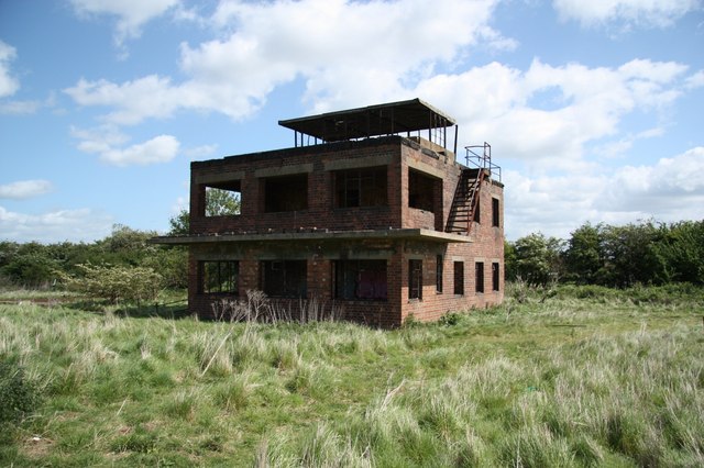
RAF Coleby Grange
Royal Air Force Coleby Grange or more simply RAF Coleby Grange was a Royal Air Force satellite station situated alongside the western edge of the A15 on...
Blankney
Blankney is a village and civil parish in the North Kesteven district of Lincolnshire, England. The population of the civil parish at the 2011 census was...
Nearby Amenities
Located within 500m of 53.13552,-0.45352645Have you been to Metheringham Heath?
Leave your review of Metheringham Heath below (or comments, questions and feedback).