Potterhanworth Heath

Downs, Moorland in Lincolnshire North Kesteven

England

Potterhanworth Heath

Country road near Branston (1) The bridge ahead carries the railway between Lincoln (left) and Sleaford (right).
Country road near Branston (1) Credit: Stephen Richards

The requested URL returned error: 429 Too Many Requests

If you have any feedback on the listing, please let us know in the comments section below.

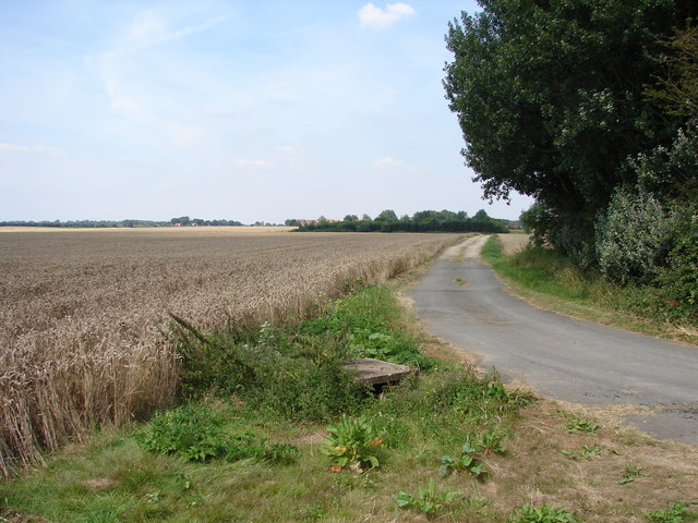
Potterhanworth Heath Images

Images are sourced within 2km of 53.174732/-0.45201194 or Grid Reference TF0365. Thanks to Geograph Open Source API. All images are credited.

Country road near Branston (1) The bridge ahead carries the railway between Lincoln (left) and Sleaford (right).
Country road near Branston (1)
The bridge ahead carries the railway between Lincoln (left) and Sleaford (right).
West Lodge to Longhills Main house attributed to Basevi (1838).
West Lodge to Longhills
Main house attributed to Basevi (1838).
Track & Field
Track & Field
Nocton Heath Footpath heading north from Grange Lane on Nocton Heath
Nocton Heath
Footpath heading north from Grange Lane on Nocton Heath
Nocton Rise A field of daffodils and Nocton Rise
Nocton Rise
A field of daffodils and Nocton Rise
Daffodils on Nocton Heath
Rail Bridge Rural rail bridge on Branston Moor
Rail Bridge
Rural rail bridge on Branston Moor
Station Bridge Potterhanworth station bridge on Station Road
Station Bridge
Potterhanworth station bridge on Station Road
Power cables to Lincoln More farm buildings are being erected in the distance.
Power cables to Lincoln
More farm buildings are being erected in the distance.
Footpath to the B1178
Footpath to Potterhanworth from B1188 at Cherrystone cottage
Too late - daffodils past their best A field of daffodils from the footpath. Grange Farm in the distance. They must have been busy picking a few weeks ago, there were small elastic bands strewn on the footpath.
Too late - daffodils past their best
A field of daffodils from the footpath. Grange Farm in the distance. They must have been busy picking a few weeks ago, there were small elastic bands strewn on the footpath.
Corner of the footpath near Nocton Heath
Demolished Transmission Mast and Old Road The 1:50,000 scale "Get-a-Map" for this grid square shows a Transmitting Mast at this point, but it has long gone.  Instead, here is what appears to be the 'old road' which puzzingly takes a more direct route between Nocton and Potterhanworth than the present road.
Demolished Transmission Mast and Old Road
The 1:50,000 scale "Get-a-Map" for this grid square shows a Transmitting Mast at this point, but it has long gone. Instead, here is what appears to be the 'old road' which puzzingly takes a more direct route between Nocton and Potterhanworth than the present road.
The Mind Boggles Situated in the middle of a field, this fenced building appeared at first glance to be a small-time Prisoner of War Camp.  I'm told it is unlikely to be a Telegraph Exchange despite the poles around it.  An old map shows a windpump at this location so maybe there is some connection?
The Mind Boggles
Situated in the middle of a field, this fenced building appeared at first glance to be a small-time Prisoner of War Camp. I'm told it is unlikely to be a Telegraph Exchange despite the poles around it. An old map shows a windpump at this location so maybe there is some connection?
Island of Trees Floating on a sea of wheat!
Island of Trees
Floating on a sea of wheat!
Mere Road Towards Branston along Mere Road
Mere Road
Towards Branston along Mere Road
Track to Mere Hall Track from Mere Road to Mere Hall hidden in the trees
Track to Mere Hall
Track from Mere Road to Mere Hall hidden in the trees
Show me another place!

Potterhanworth Heath is located at Grid Ref: TF0365 (Lat: 53.174732, Lng: -0.45201194)

Administrative County: Lincolnshire

District: North Kesteven

Police Authority: Lincolnshire

What 3 Words

///jetliner.snitch.depravity. Near Branston, Lincolnshire

Nearby Locations

Potterhanworth Heath

Related Wikis

Potterhanworth railway station

Potterhanworth railway station is a former railway station in Potterhanworth, Lincolnshire. It was on the still-open line between Lincoln and Sleaford...

Branston and Mere

Branston and Mere is a civil parish in the North Kesteven district of Lincolnshire, England, about 4 miles (6 km) roughly south-east of Lincoln. The parish...

Branston Rural District

Branston was a rural district in Kesteven in Lincolnshire, England from 1894 to 1931. It was formed under the Local Government Act 1894 from the part...

Potterhanworth

Potterhanworth is a village and civil parish in the North Kesteven district of Lincolnshire, England. The population of the civil parish at the 2011 census...

Nearby Amenities

Located within 500m of 53.174732,-0.45201194
Potterhanworth Heath
Place: locality
Source: Bing
Lat/Long: 53.1756003/-0.4522034
The data included in this document is from www.openstreetmap.org. The data is made available under ODbL.

Have you been to Potterhanworth Heath?

Leave your review of Potterhanworth Heath below (or comments, questions and feedback).