Blankney Heath
Downs, Moorland in Lincolnshire North Kesteven
England
Blankney Heath
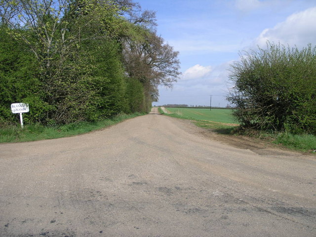
Blankney Heath is a picturesque area located in the county of Lincolnshire, England. Situated amidst the beautiful countryside, Blankney Heath offers a stunning landscape that combines downs and moorland.
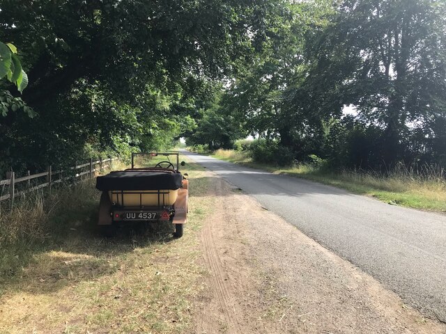
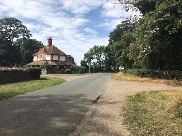
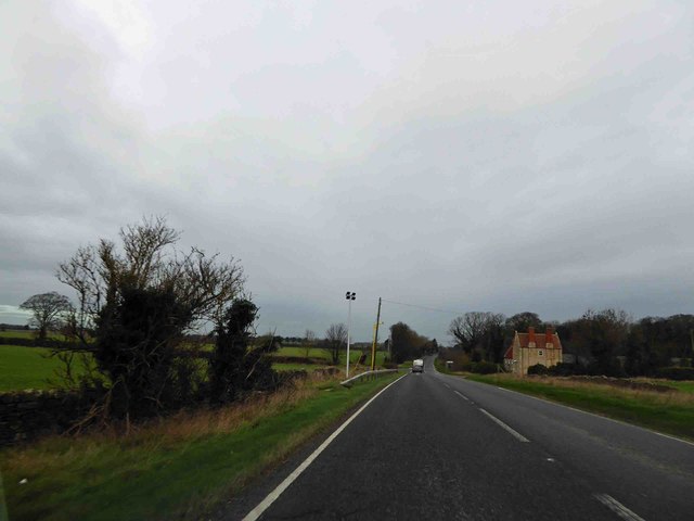
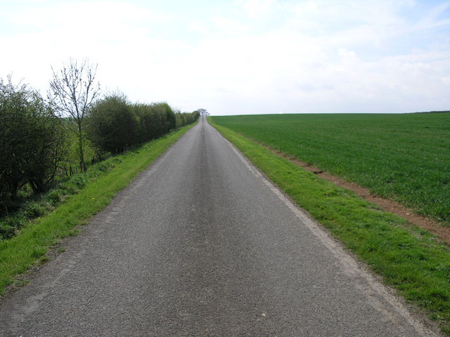
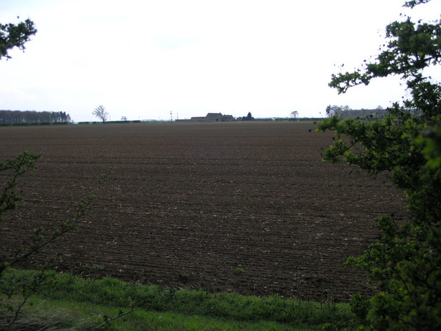
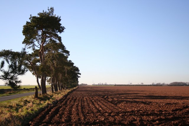
Covering an expansive area, Blankney Heath features vast stretches of open grasslands, rolling hills, and heathland vegetation. The downs provide panoramic views of the surrounding countryside, with their gentle slopes and lush greenery. The moorland, on the other hand, offers a wilder and more rugged terrain, characterized by heather, gorse, and scattered trees.
Blankney Heath is home to a diverse range of flora and fauna, making it a haven for nature enthusiasts. The heathland supports a variety of plant species, including heather, bilberry, and cotton grass. This unique ecosystem attracts numerous bird species, such as skylarks, stonechats, and merlins, making it an ideal destination for birdwatching.
The area also boasts a rich history. Blankney Heath has been used for centuries as a common grazing land for livestock, and evidence of ancient settlements can be found in the form of burial mounds and archaeological sites. The nearby Blankney Hall, a grand country house, adds to the historical significance of the area.
Visitors to Blankney Heath can enjoy a range of outdoor activities, including walking, hiking, and horse riding. The well-maintained trails provide an opportunity to explore the stunning countryside and take in the breathtaking views. The peaceful and serene atmosphere of Blankney Heath offers a perfect escape from the hustle and bustle of city life.
If you have any feedback on the listing, please let us know in the comments section below.
Blankney Heath Images
Images are sourced within 2km of 53.121863/-0.45755842 or Grid Reference TF0359. Thanks to Geograph Open Source API. All images are credited.


Blankney Heath is located at Grid Ref: TF0359 (Lat: 53.121863, Lng: -0.45755842)
Administrative County: Lincolnshire
District: North Kesteven
Police Authority: Lincolnshire
What 3 Words
///cherry.lease.shredding. Near Metheringham, Lincolnshire
Nearby Locations
Related Wikis
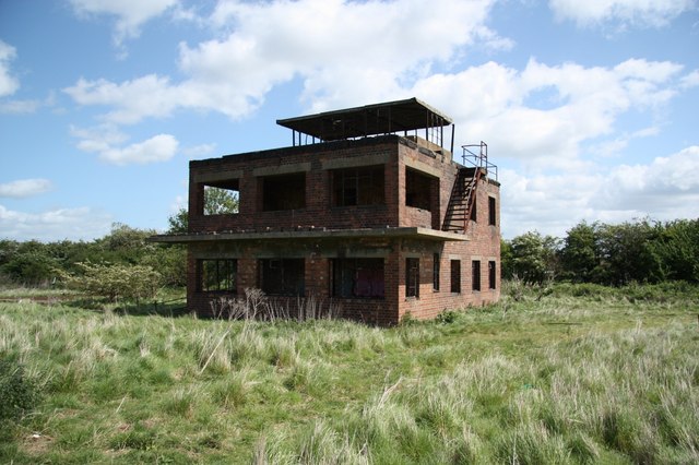
RAF Coleby Grange
Royal Air Force Coleby Grange or more simply RAF Coleby Grange was a Royal Air Force satellite station situated alongside the western edge of the A15 on...
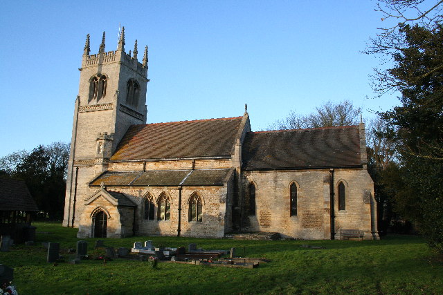
Blankney
Blankney is a village and civil parish in the North Kesteven district of Lincolnshire, England. The population of the civil parish at the 2011 census was...
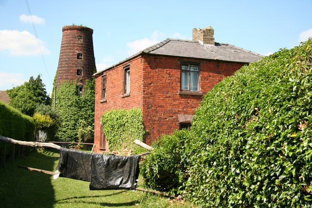
Metheringham Windmill
Metheringham Windmill, locally known as The Old Meg Flour Mill, was a six-storeyed, six-sailed, and tarred slender Lincolnshire type windmill with the...
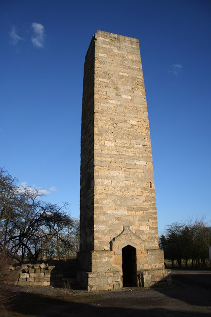
Dunston Pillar
Dunston Pillar is a Grade II listed stone tower in Lincolnshire, England and a former 'land lighthouse'. It stands beside the A15 road approximately 6...

RAF Digby
Royal Air Force Digby otherwise known as RAF Digby is a Royal Air Force station located near Scopwick and 11.6 mi (18.7 km) south east of Lincoln, in Lincolnshire...

Scopwick
Scopwick is a small village and civil parish in the district of North Kesteven, Lincolnshire, England, situated 6 miles (9.7 km) south from Lincoln. The...

Nocton Dairies controversy
Nocton Dairies is a British company which was formed by Devon farmer and cheese-maker Peter Willes and Lancashire milk producer David Barnes in order to...

Metheringham
Metheringham is a village and civil parish in the North Kesteven district of Lincolnshire, England. The population of the civil parish at the 2011 census...
Nearby Amenities
Located within 500m of 53.121863,-0.45755842Have you been to Blankney Heath?
Leave your review of Blankney Heath below (or comments, questions and feedback).