Round Plantation
Wood, Forest in Lincolnshire North Kesteven
England
Round Plantation
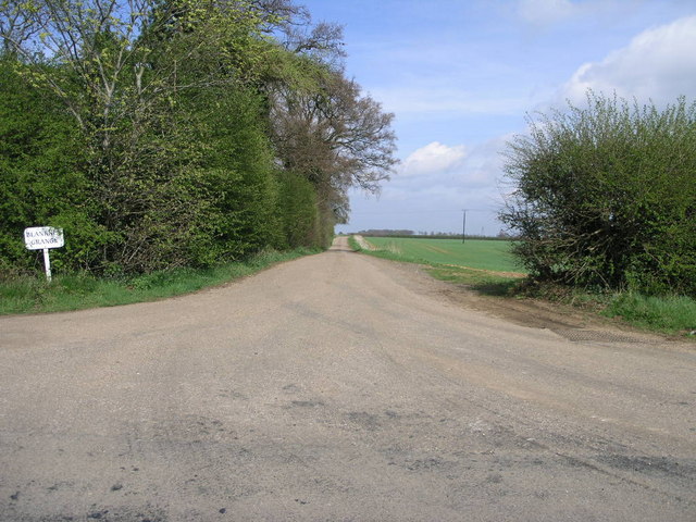
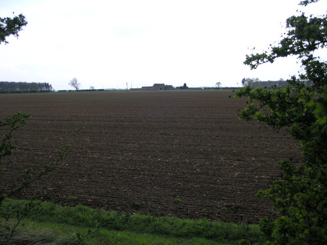
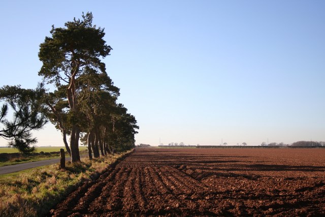
Round Plantation is a wood located in the county of Lincolnshire, England. Nestled in the heart of the county, the plantation covers an area of approximately 50 acres. It is situated near the town of Wood, providing a tranquil escape from the bustling urban areas.
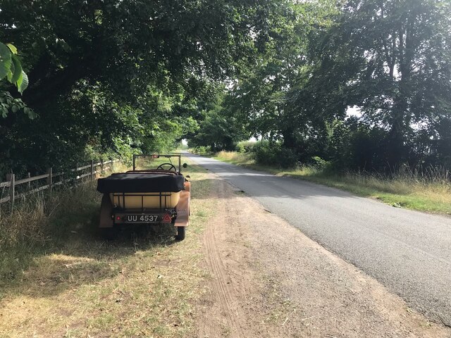
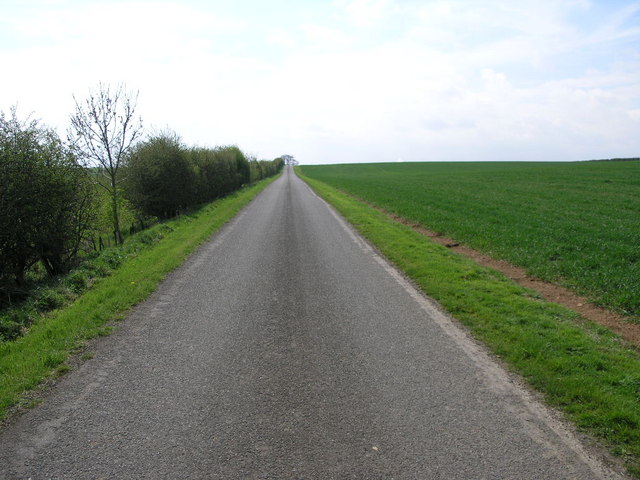
The plantation is characterized by its abundant forest cover, boasting a diverse range of tree species. Towering oak trees dominate the landscape, their majestic presence casting a cool shade over the woodland floor. Other trees such as beech, ash, and birch can also be found, adding to the variety and beauty of the plantation.
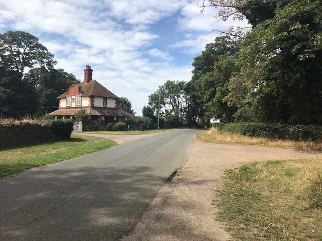
Visitors to Round Plantation are treated to a peaceful and serene environment, away from the noise and pollution of the city. The wood is a haven for nature enthusiasts, providing a habitat for various wildlife species. Birdwatchers can spot a multitude of feathered friends, including woodpeckers, owls, and various songbirds. Squirrels can be seen scampering through the branches, while rabbits and foxes dart through the undergrowth.
The wood offers a network of walking trails that wind through the plantation, allowing visitors to explore its natural wonders at their own pace. These paths are well-maintained, making it accessible for individuals of all ages and abilities. The plantation also features picnic areas where visitors can relax and enjoy a packed lunch amidst the soothing sounds of nature.
Overall, Round Plantation in Lincolnshire is a hidden gem, offering a peaceful retreat for those seeking solace in nature. Its diverse ecosystem and scenic beauty make it a must-visit destination for both locals and tourists alike.
If you have any feedback on the listing, please let us know in the comments section below.
Round Plantation Images
Images are sourced within 2km of 53.123715/-0.45475726 or Grid Reference TF0359. Thanks to Geograph Open Source API. All images are credited.


Round Plantation is located at Grid Ref: TF0359 (Lat: 53.123715, Lng: -0.45475726)
Administrative County: Lincolnshire
District: North Kesteven
Police Authority: Lincolnshire
What 3 Words
///imposes.crouching.asks. Near Metheringham, Lincolnshire
Nearby Locations
Related Wikis
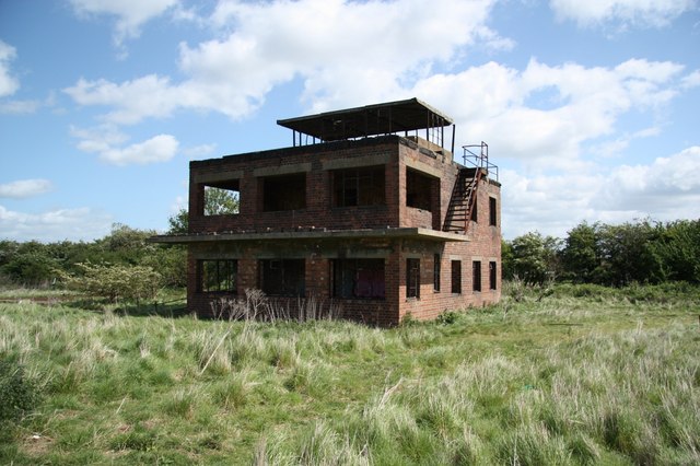
RAF Coleby Grange
Royal Air Force Coleby Grange or more simply RAF Coleby Grange was a Royal Air Force satellite station situated alongside the western edge of the A15 on...
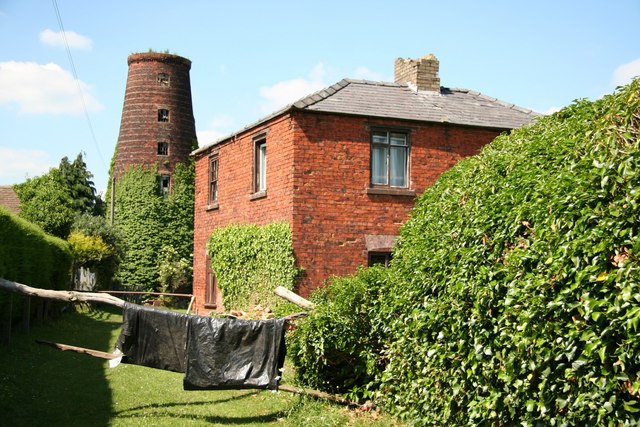
Metheringham Windmill
Metheringham Windmill, locally known as The Old Meg Flour Mill, was a six-storeyed, six-sailed, and tarred slender Lincolnshire type windmill with the...
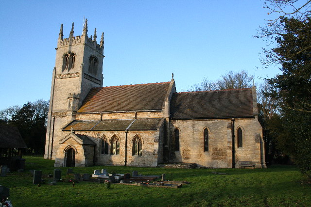
Blankney
Blankney is a village and civil parish in the North Kesteven district of Lincolnshire, England. The population of the civil parish at the 2011 census was...
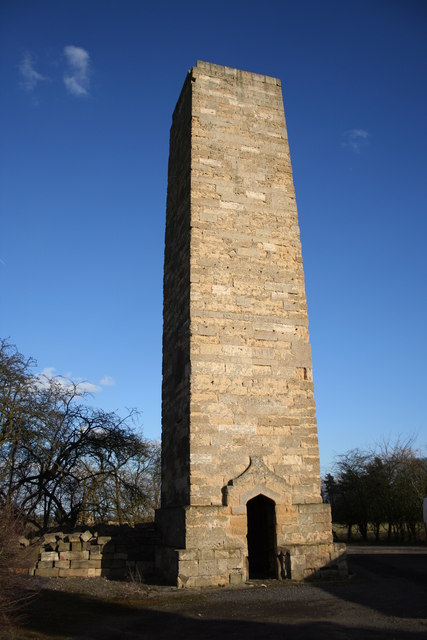
Dunston Pillar
Dunston Pillar is a Grade II listed stone tower in Lincolnshire, England and a former 'land lighthouse'. It stands beside the A15 road approximately 6...

Nocton Dairies controversy
Nocton Dairies is a British company which was formed by Devon farmer and cheese-maker Peter Willes and Lancashire milk producer David Barnes in order to...

Scopwick
Scopwick is a small village and civil parish in the district of North Kesteven, Lincolnshire, England, situated 6 miles (9.7 km) south from Lincoln. The...

Metheringham
Metheringham is a village and civil parish in the North Kesteven district of Lincolnshire, England. The population of the civil parish at the 2011 census...

RAF Digby
Royal Air Force Digby otherwise known as RAF Digby is a Royal Air Force station located near Scopwick and 11.6 mi (18.7 km) south east of Lincoln, in Lincolnshire...
Nearby Amenities
Located within 500m of 53.123715,-0.45475726Have you been to Round Plantation?
Leave your review of Round Plantation below (or comments, questions and feedback).