Combeland Hanger
Wood, Forest in Sussex Horsham
England
Combeland Hanger
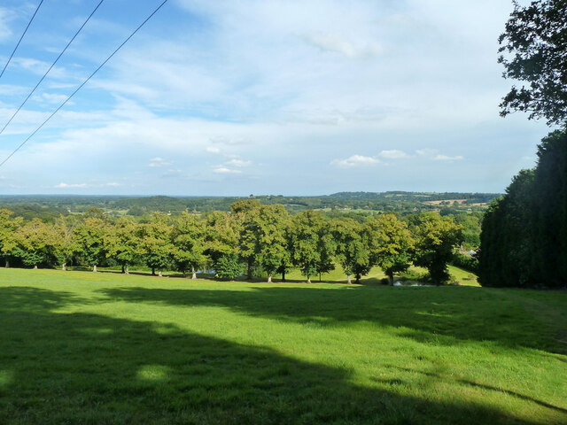
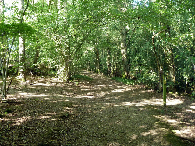
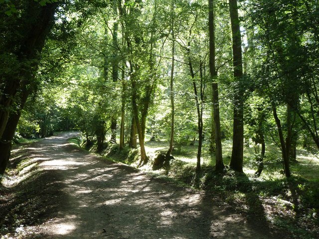
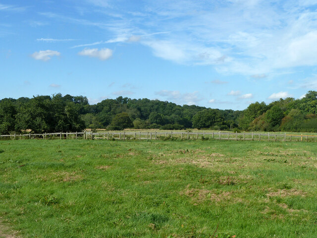
Combeland Hanger, located in Sussex, England, is a picturesque woodland area known for its natural beauty and diverse range of flora and fauna. Covering an expansive area of land, the hanger is a prime example of a mixed deciduous forest, with a rich tapestry of trees including oak, beech, ash, and birch.
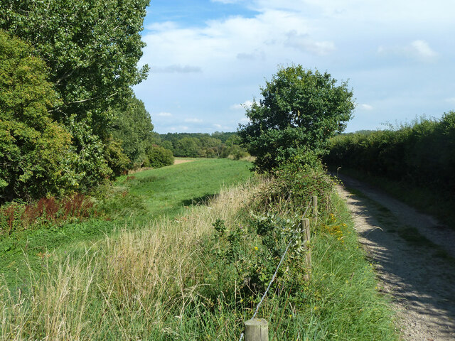
The woodland is characterized by its undulating landscape, with steep slopes and deep valleys that create a sense of serenity and tranquility. These features also contribute to the hanger's unique microclimate, providing a sheltered environment for various wildlife species to thrive.
Combeland Hanger is renowned for its diverse range of plant life, with an array of wildflowers, ferns, and mosses carpeting the forest floor. The woodland is particularly stunning in spring when bluebells blanket the ground, creating a vibrant display of color.
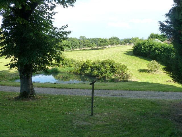
The hanger is also home to a wide variety of bird species, including woodpeckers, owls, and warblers, making it a popular spot for birdwatching enthusiasts. Other wildlife that can be spotted in the area includes deer, badgers, and foxes, adding to the natural charm of the woodland.
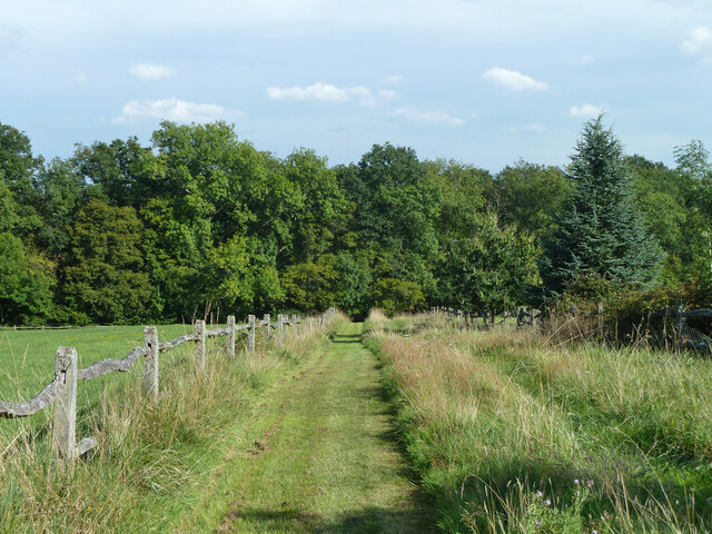
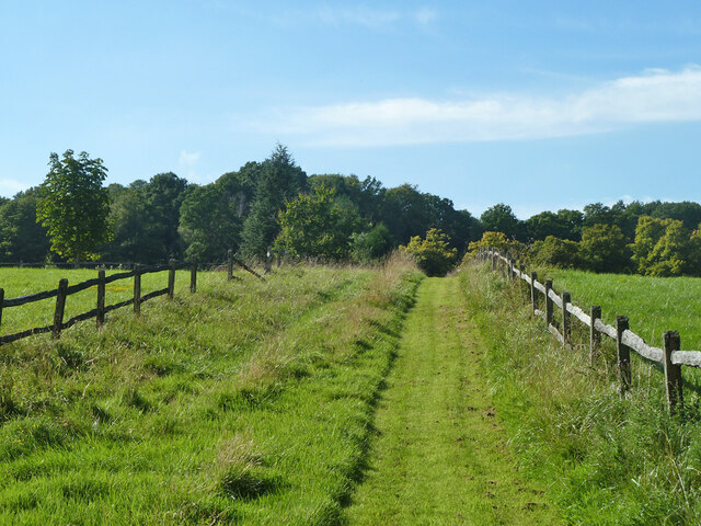
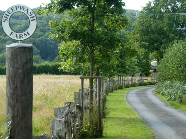
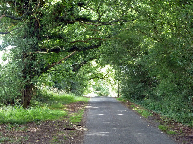
For those seeking outdoor activities, Combeland Hanger offers several walking trails and nature paths, allowing visitors to explore the stunning surroundings at their own pace. These trails provide opportunities to observe the diverse flora and fauna up close, as well as offering breathtaking views of the surrounding countryside.
Overall, Combeland Hanger is a hidden gem in Sussex, offering a tranquil escape into nature and providing a haven for both wildlife and outdoor enthusiasts alike.
If you have any feedback on the listing, please let us know in the comments section below.
Combeland Hanger Images
Images are sourced within 2km of 50.970434/-0.52727907 or Grid Reference TQ0320. Thanks to Geograph Open Source API. All images are credited.


Combeland Hanger is located at Grid Ref: TQ0320 (Lat: 50.970434, Lng: -0.52727907)
Administrative County: West Sussex
District: Horsham
Police Authority: Sussex
What 3 Words
///headed.bookshop.robes. Near Pulborough, West Sussex
Nearby Locations
Related Wikis

Park Farm Cutting
Park Farm Cutting is a 0.2-hectare (0.49-acre) geological Site of Special Scientific Interest west of Pulborough in West Sussex. It is a Geological Conservation...
Stopham
Stopham is a hamlet and civil parish in the District of Chichester in West Sussex, England, about 1.5 miles (2.4 km) west of Pulborough on the A283 road...
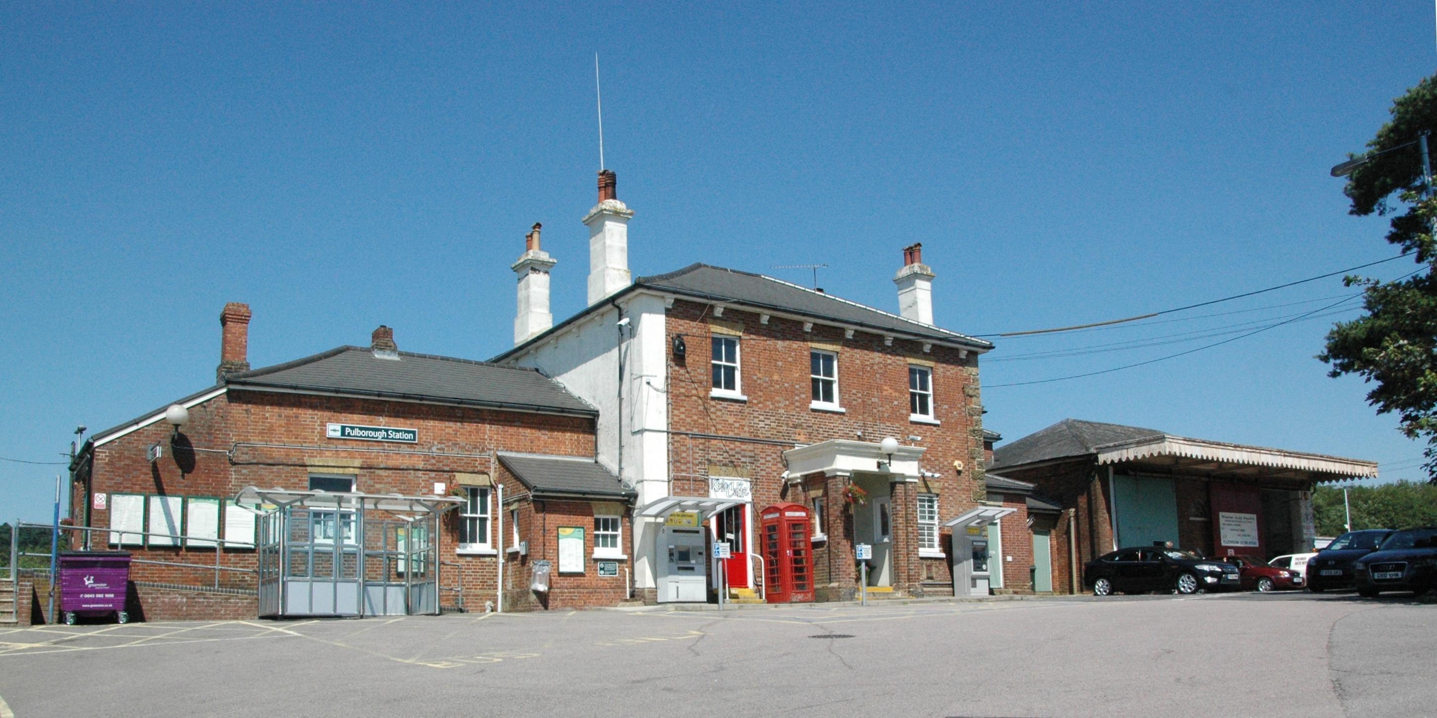
Pulborough railway station
Pulborough railway station serves the West Sussex village of Pulborough. It is at the western end of the village, just off the A283 road. It is 50 miles...

Pulborough
Pulborough is a large village and civil parish in the Horsham district of West Sussex, England, with some 5,000 inhabitants. It is located almost centrally...

South Downs Light Railway
The South Downs Light Railway is a 10+1⁄4 in (260 mm) gauge railway at Pulborough in West Sussex, England. The line opened in 2000 (after adjusting the...

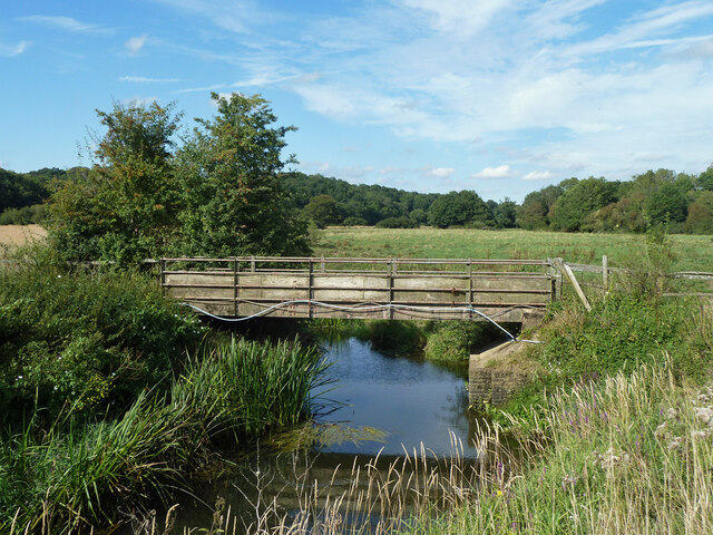
River Rother, West Sussex
The River Rother flows from Empshott in Hampshire, England, to Stopham in West Sussex, where it joins the River Arun. At 52 kilometres (32 mi) long, most...

Upper Arun
Upper Arun is a 17.6-hectare (43-acre) biological Site of Special Scientific Interest between Billingshurst and Pulborough in West Sussex.This 13-kilometre...
Codmore Hill
Codmore Hill is a hamlet in the Horsham District of West Sussex, England. It lies on the A29 road 1 mile (1.6 km) north of Pulborough. It is in the civil...
Nearby Amenities
Located within 500m of 50.970434,-0.52727907Have you been to Combeland Hanger?
Leave your review of Combeland Hanger below (or comments, questions and feedback).