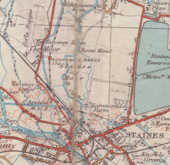
Staines Moor
Downs, Moorland in Middlesex Spelthorne
England
Staines Moor
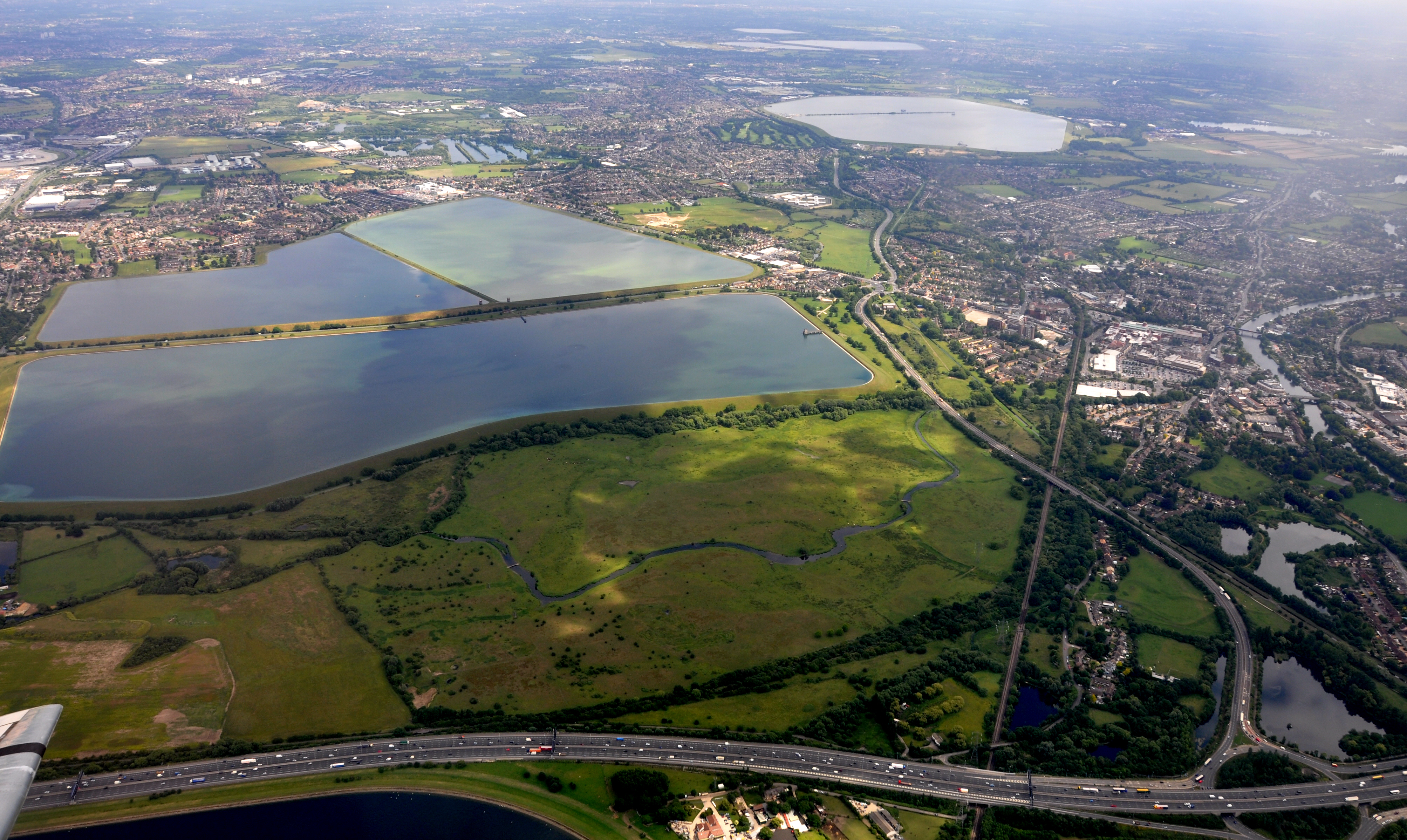
Staines Moor, located in Middlesex, England, is a scenic area that encompasses a variety of natural features including downs and moorland. Covering an approximate area of 320 acres, this expansive landscape offers a peaceful retreat from the nearby urban areas.
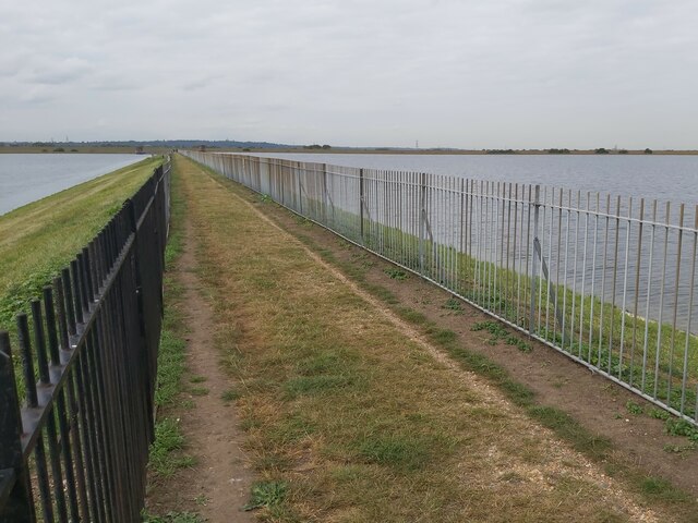
The moorland aspect of Staines Moor is characterized by its open, undulating terrain and heathland vegetation. This type of habitat supports a diverse range of flora and fauna, including heather, gorse, and various grasses. The moorland also provides an important home for a variety of bird species such as skylarks and meadow pipits, as well as insects like butterflies and dragonflies.
In addition to the moorland, Staines Moor also features downs, which are areas of rolling hills covered in grassland. These downs provide picturesque views of the surrounding countryside and are an ideal location for leisurely walks or picnics. The grassland is primarily composed of species such as common bent, sheep's fescue, and red fescue.
Staines Moor has a rich history, with evidence of human activity dating back to the prehistoric era. The area has been used for grazing livestock and for agriculture throughout the centuries, and remnants of old field boundaries and ditches can still be found. Today, the moor is managed by local authorities for conservation purposes, ensuring the preservation of its natural beauty and ecological importance.
Overall, Staines Moor offers visitors a chance to immerse themselves in a peaceful and natural environment. Whether exploring the moorland or enjoying the views from the downs, this Middlesex gem provides a unique and tranquil experience for nature enthusiasts and anyone seeking a break from the hustle and bustle of nearby urban areas.
If you have any feedback on the listing, please let us know in the comments section below.
Staines Moor Images
Images are sourced within 2km of 51.446374/-0.51521464 or Grid Reference TQ0372. Thanks to Geograph Open Source API. All images are credited.


Staines Moor is located at Grid Ref: TQ0372 (Lat: 51.446374, Lng: -0.51521464)
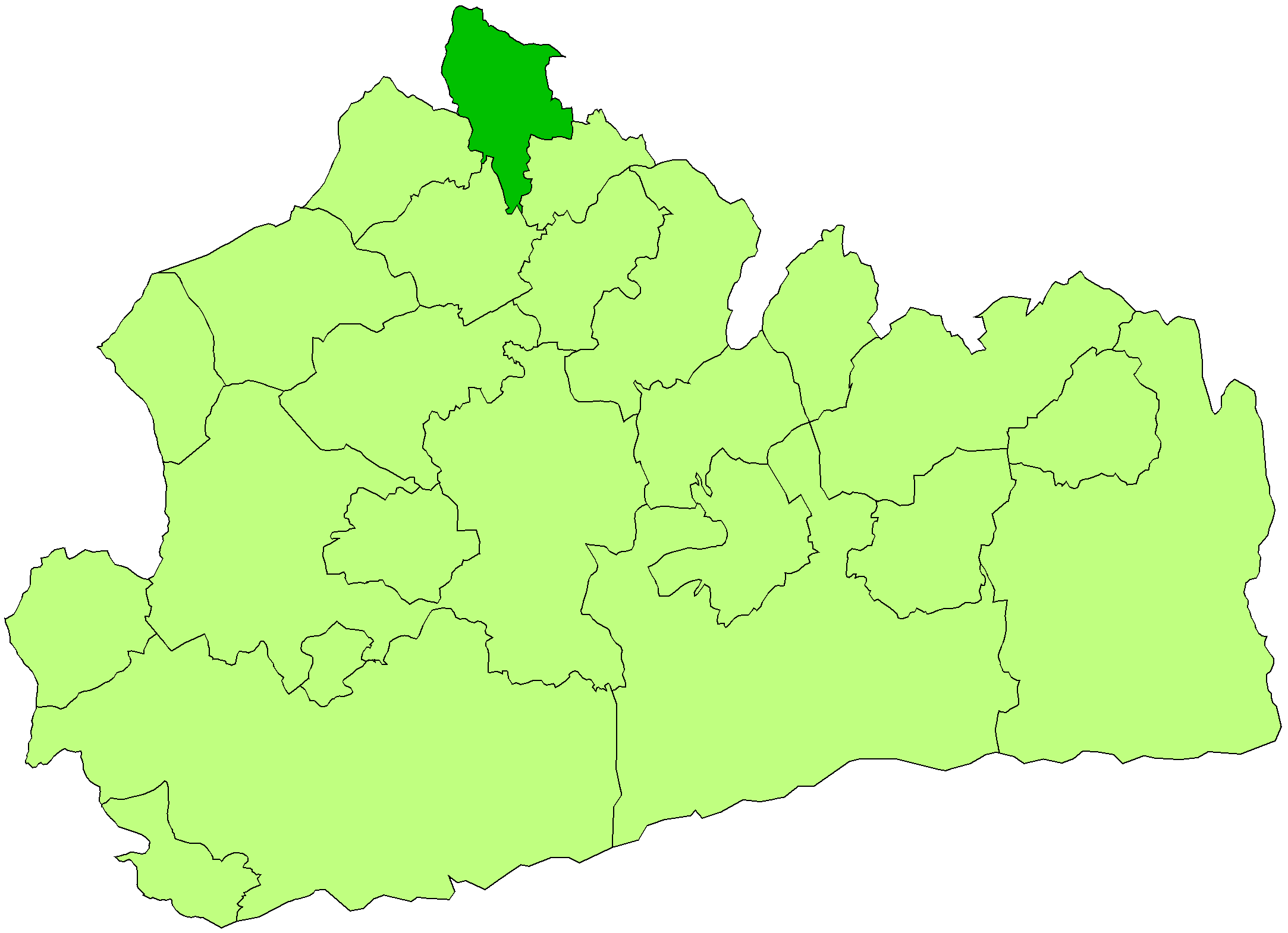
Administrative County: Surrey
District: Spelthorne
Police Authority: Surrey
What 3 Words
///plants.zone.golf. Near Staines, Surrey
Nearby Locations
Related Wikis
Staines Moor
Staines Moor is a 510.8-hectare (1,262-acre) biological Site of Special Scientific Interest north of Staines-upon-Thames in Surrey. It is part of the South...
Yeoveney Halt railway station
Yeoveney Halt was a railway platform of a minimalist nature on the Staines & West Drayton Railway (which became part of the Great Western Railway in 1900...
Staines Urban District
Staines was a local government district from 1894 to 1974 named after the English town of Staines. == Background, functions and boundaries == Apart from...

British European Airways Flight 548
British European Airways Flight 548 was a scheduled passenger flight from London Heathrow to Brussels that crashed near Staines, England, soon after take...
Nearby Amenities
Located within 500m of 51.446374,-0.51521464Have you been to Staines Moor?
Leave your review of Staines Moor below (or comments, questions and feedback).