West Croft
Downs, Moorland in Yorkshire Scarborough
England
West Croft
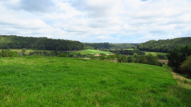
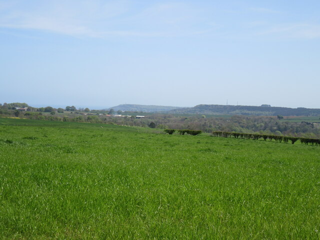
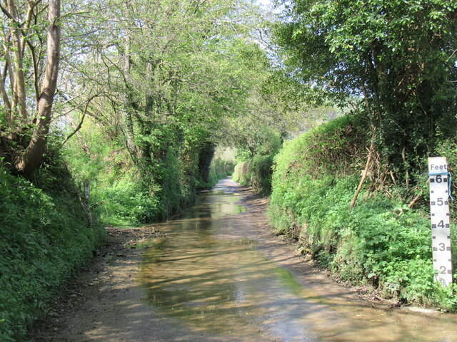
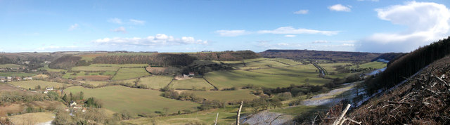
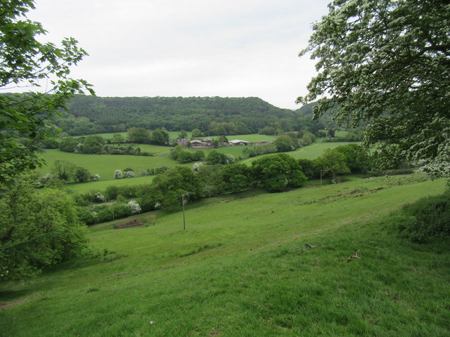
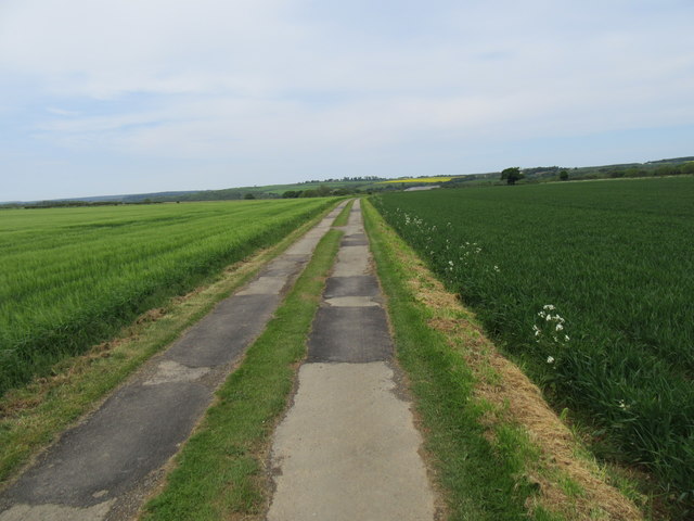
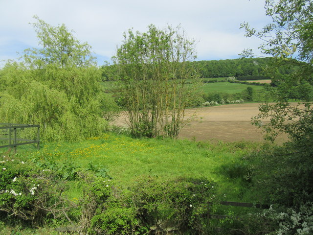
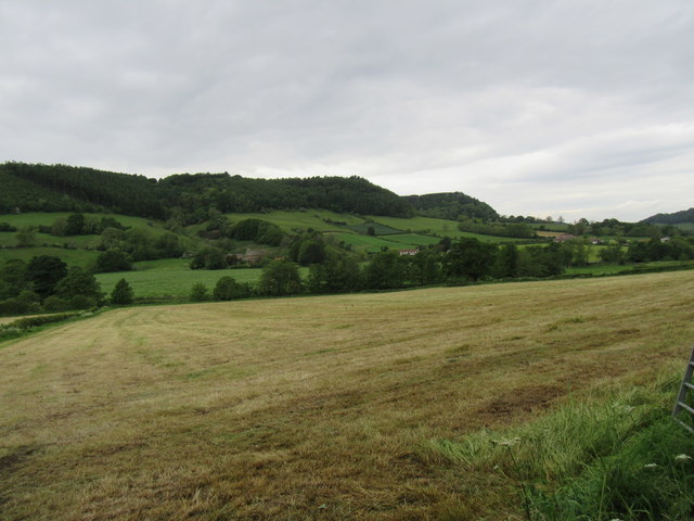
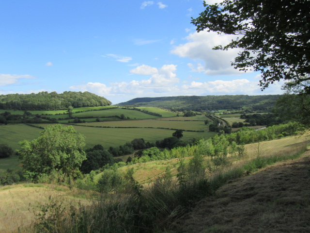
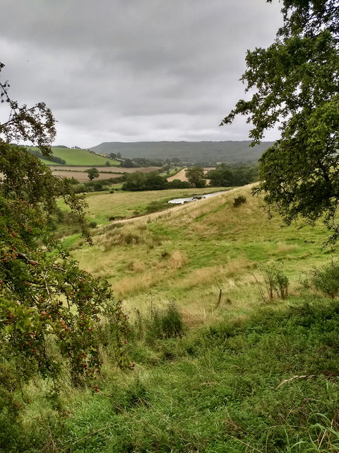
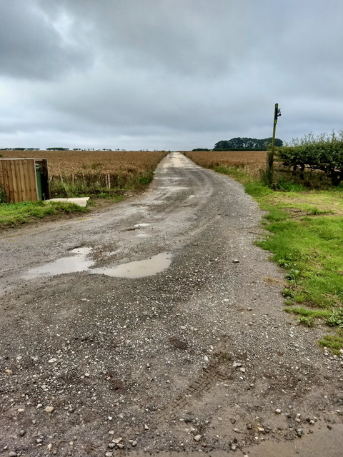
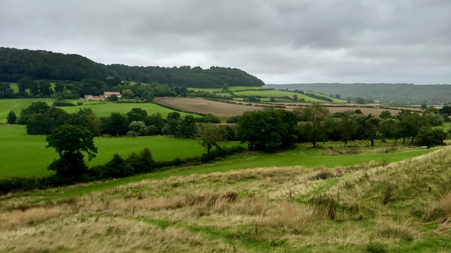
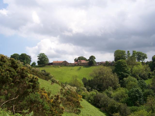
West Croft is a picturesque region located in the county of Yorkshire, England. Nestled amidst the breathtaking Yorkshire Downs and Moorland, this area offers a stunning landscape that attracts locals and tourists alike. The region is known for its natural beauty, with rolling hills, expansive meadows, and rugged moorland dominating the scenery.
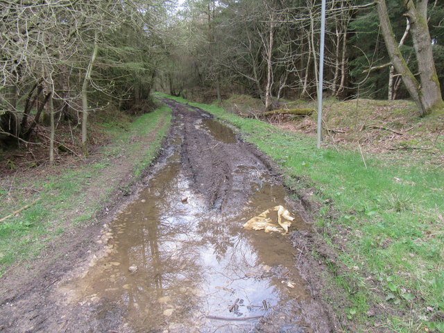
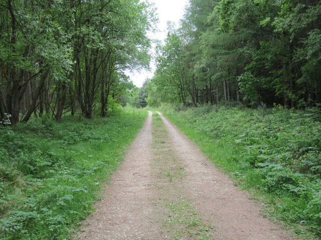
The Yorkshire Downs in West Croft provide a dramatic backdrop, characterized by vast green spaces and breathtaking vistas. It is a haven for hikers and nature enthusiasts, offering a plethora of well-marked trails that wind through the hills and valleys. This area also boasts an abundance of wildlife, including various bird species and mammals such as deer and rabbits.
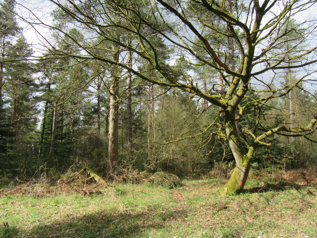
The Moorland in West Croft adds to the region's charm with its unique ecosystem. This rugged terrain is covered in heather and grasses, creating a striking purple and green landscape. It is home to a diverse range of plant and animal species, including rare birds like the red grouse and curlew.
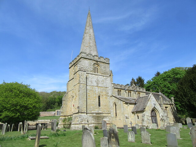
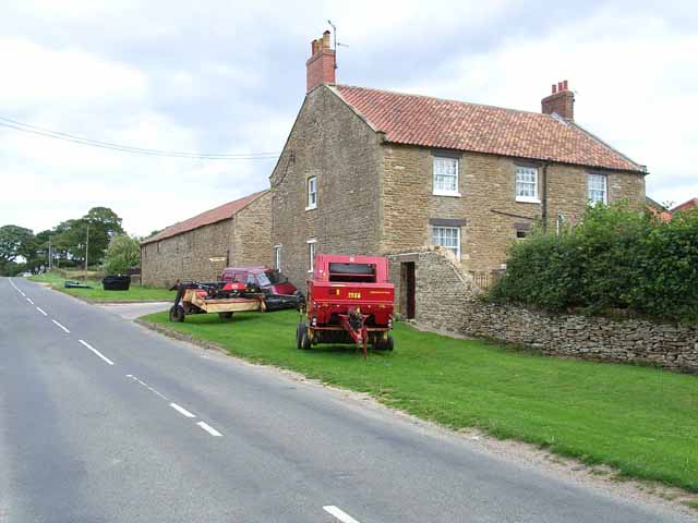
West Croft itself is a small, peaceful community with a rich history. The charming villages dotted throughout the region offer a glimpse into traditional Yorkshire life, with their quaint stone buildings and cozy pubs. The locals are known for their warm hospitality, welcoming visitors to explore the area's natural wonders and immerse themselves in the local culture.
Overall, West Croft, Yorkshire (Downs, Moorland) is a captivating region that showcases the beauty of the Yorkshire countryside. Its idyllic landscapes, diverse wildlife, and welcoming communities make it a must-visit destination for nature lovers and those looking to experience the charm of rural England.
If you have any feedback on the listing, please let us know in the comments section below.
West Croft Images
Images are sourced within 2km of 54.294285/-0.51894013 or Grid Reference SE9689. Thanks to Geograph Open Source API. All images are credited.
West Croft is located at Grid Ref: SE9689 (Lat: 54.294285, Lng: -0.51894013)
Division: North Riding
Administrative County: North Yorkshire
District: Scarborough
Police Authority: North Yorkshire
What 3 Words
///commended.carbonate.basher. Near East Ayton, North Yorkshire
Nearby Locations
Related Wikis

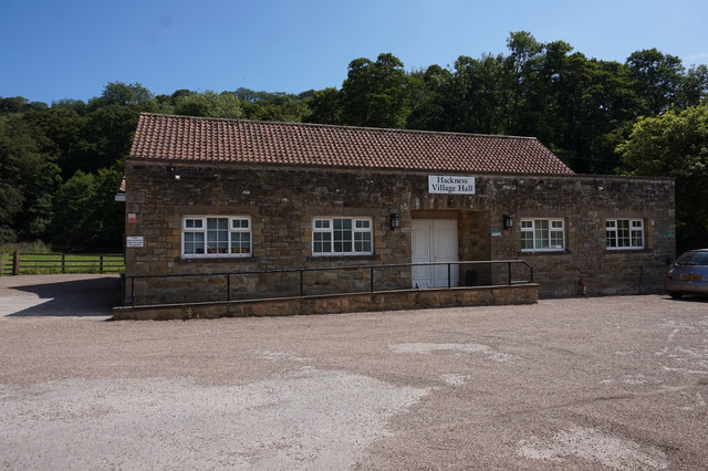
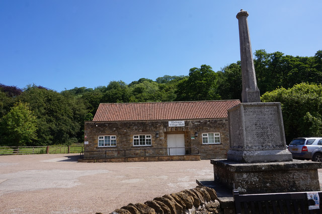
Hackness
Hackness is a village and civil parish in the Scarborough district of the county of North Yorkshire, England. It lies within the North York Moors National...
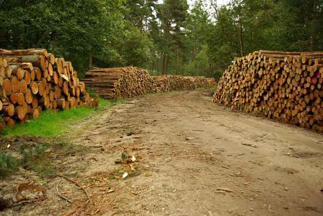
Wykeham Forest
Wykeham Forest is a 2,760-acre (1,115-hectare) woodland 6 miles (9.7 km) in the North York Moors National Park, near to Wykeham, west of Scarborough, England...
Suffield, North Yorkshire
Suffield is a hamlet in the parish of Suffield-cum-Everley in the Scarborough district of North Yorkshire, England. the hamlet is 4.5 miles (7.2 km) north...

Silpho
Silpho is a village and civil parish in the Scarborough district of the county of North Yorkshire, England. According to the 2001 UK census, Silpho parish...

Suffield-cum-Everley
Suffield-cum-Everley is a civil parish in the Scarborough district of North Yorkshire, England. According to the 2011 UK census, the parish (including...
Broxa, North Yorkshire
Broxa is a village in the Scarborough district of North Yorkshire, England, within the North York Moors National Park. The village is 6.2 miles (10 km...

Broxa-cum-Troutsdale
Broxa-cum-Troutsdale is a civil parish in the Scarborough district of North Yorkshire, England. The population as of the 2011 census remained less than...
Raincliffe Woods
Raincliffe Woods are situated to the north-west of Scarborough, North Yorkshire, England. They form an "L" shape with Forge Valley Woods and the River...
Nearby Amenities
Located within 500m of 54.294285,-0.51894013Have you been to West Croft?
Leave your review of West Croft below (or comments, questions and feedback).