Broadstreet Common
Downs, Moorland in Surrey Guildford
England
Broadstreet Common

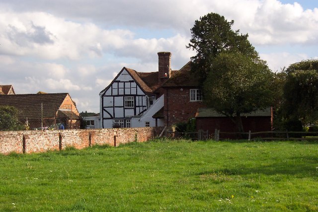
Broadstreet Common is a picturesque area located in Surrey, England. Situated amidst the stunning countryside, it is known for its expansive downs and moorland. Covering a vast expanse of land, Broadstreet Common offers visitors a tranquil escape from the bustling city life.
The downs of Broadstreet Common are characterized by their rolling hills and panoramic views. The landscape is adorned with lush greenery, scattered wildflowers, and grazing livestock. Visitors can explore the downs by foot, taking in the fresh air and enjoying the peaceful ambiance. The area is also popular among nature enthusiasts and birdwatchers, as it is home to a diverse range of flora and fauna.
In addition to the downs, Broadstreet Common also boasts vast stretches of moorland. This rugged terrain is characterized by its heathland, rocky outcrops, and gorse bushes. Moorland walks offer visitors a chance to immerse themselves in the unique beauty of the area, with its wide horizons and stunning sunsets.
Broadstreet Common is a haven for outdoor activities such as hiking, cycling, and horseback riding. The well-maintained trails and pathways make it easy for visitors to explore the area at their own pace. Picnic spots are also available, offering an opportunity to relax and enjoy a meal amidst the natural surroundings.
Overall, Broadstreet Common in Surrey is a must-visit destination for those seeking a peaceful retreat in the heart of nature. With its downs, moorland, and abundance of outdoor activities, it offers a truly enriching experience for visitors of all ages.
If you have any feedback on the listing, please let us know in the comments section below.
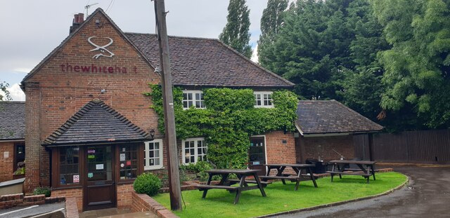
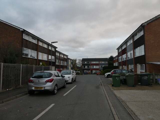
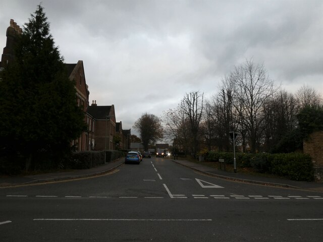
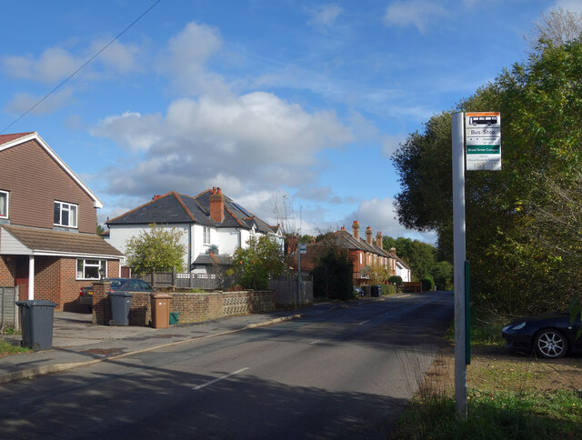
Broadstreet Common Images
Images are sourced within 2km of 51.250325/-0.61901714 or Grid Reference SU9651. Thanks to Geograph Open Source API. All images are credited.


Broadstreet Common is located at Grid Ref: SU9651 (Lat: 51.250325, Lng: -0.61901714)
Administrative County: Surrey
District: Guildford
Police Authority: Surrey
What 3 Words
///trip.taker.shuts. Near Wood Street Village, Surrey
Nearby Locations
Related Wikis

Broadstreet, Backside and Rydes Commons
Broadstreet, Backside and Rydes Commons is a 158-hectare (390-acre) nature reserve in Wood Street Village in Surrey. It is owned by Surrey County Council...
Fairlands
Fairlands is the largest settlement (neighbourhood) of Worplesdon, a village with a civil parish council in the Borough of Guildford, Surrey, England....

Surrey Satellite Technology
Surrey Satellite Technology Ltd, or SSTL, is a company involved in the manufacture and operation of small satellites. A spin-off company of the University...
King's College, Guildford
King's College Guildford is an academy comprising a secondary school in Guildford, Surrey, England. It has around 500 pupils. == History == The institution...

BBC Radio Surrey
BBC Radio Surrey is the BBC's local radio station serving Surrey, north-east Hampshire and north West Sussex (including Gatwick Airport). It broadcasts...
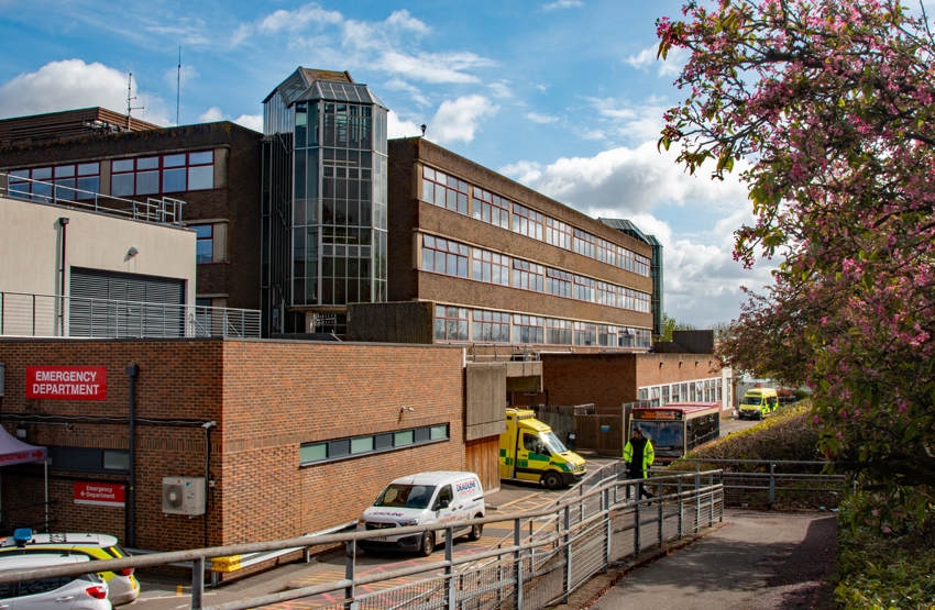
Royal Surrey County Hospital
The Royal Surrey County Hospital (RSCH) is a 520-bed district general hospital, located on the fringe of Guildford, run by the Royal Surrey County Hospital...

Surrey Research Park
The Surrey Research Park is a large research park in Guildford, Surrey. The Surrey Research Park has been planned, developed, funded and managed by the...

Blackwell Farm
Blackwell Farm is the name of one of the estates situated on the Hog’s Back, on the West side of Guildford. Located in the parish of Compton, the historical...
Nearby Amenities
Located within 500m of 51.250325,-0.61901714Have you been to Broadstreet Common?
Leave your review of Broadstreet Common below (or comments, questions and feedback).