Coombhill Plantation
Wood, Forest in Yorkshire Scarborough
England
Coombhill Plantation
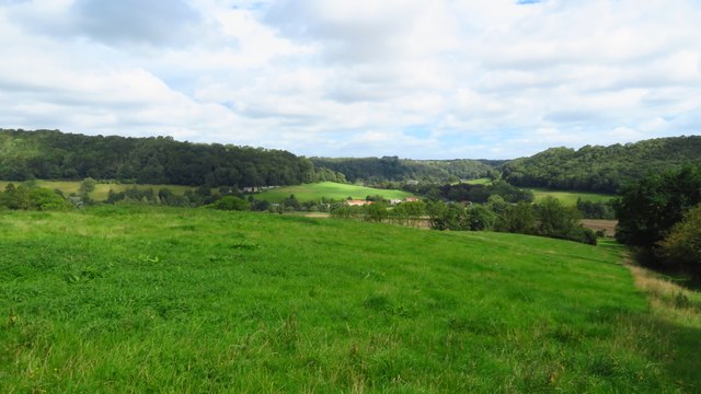
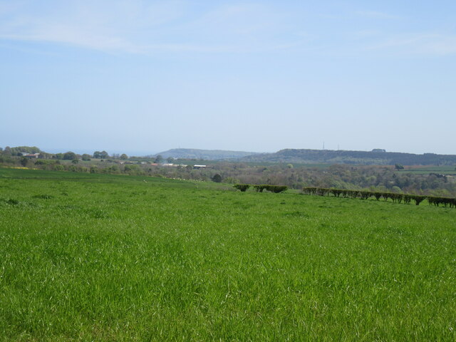
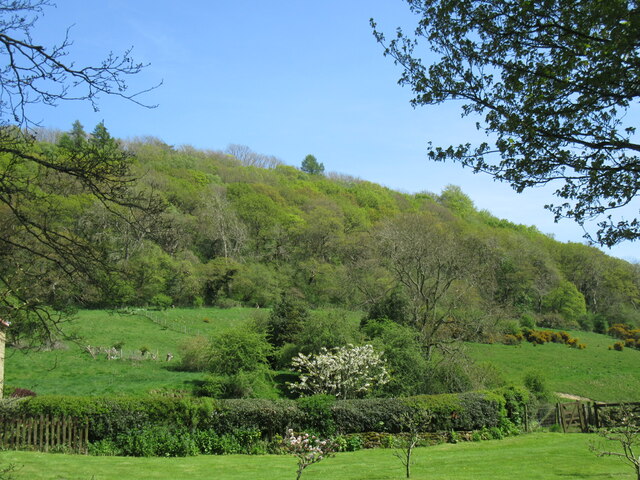
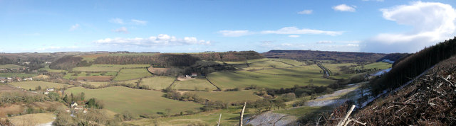
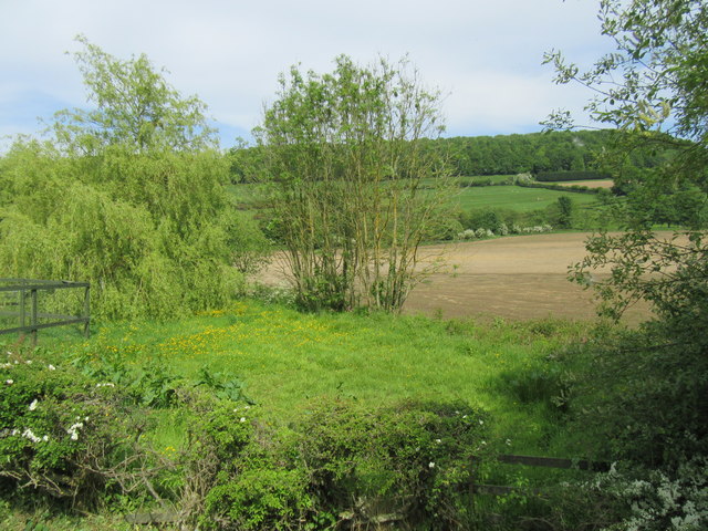
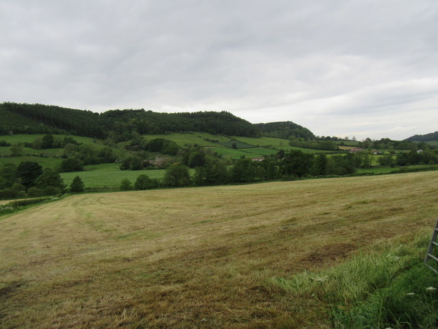
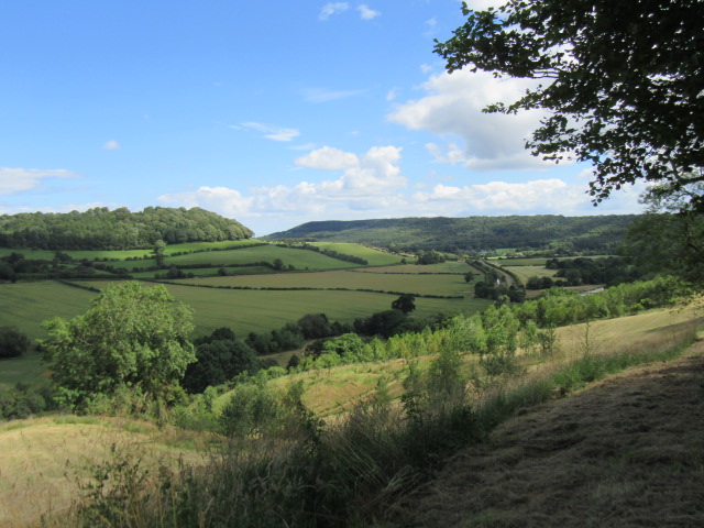
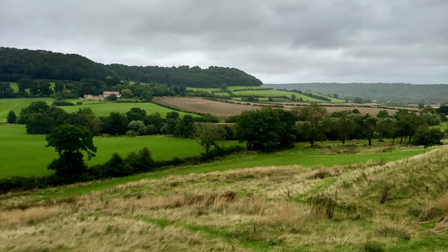
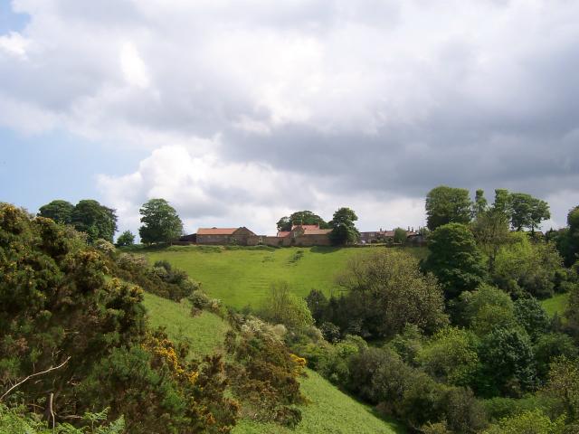
Coombhill Plantation is a stunning woodland area located in the picturesque county of Yorkshire, England. Situated in the heart of the region, this sprawling forest is a nature lover's paradise, offering an array of breathtaking sights and diverse flora and fauna.
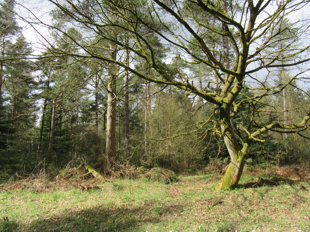
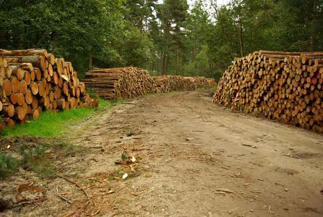
Covering an expansive area of approximately 500 acres, Coombhill Plantation is known for its dense canopy of trees, including a mix of conifers and deciduous species. The plantation is predominantly composed of oak, beech, and pine trees, creating a harmonious blend of colors throughout the seasons.
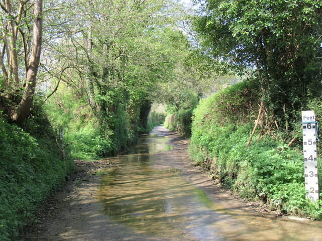
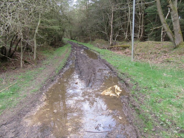
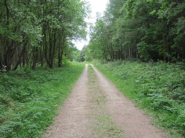
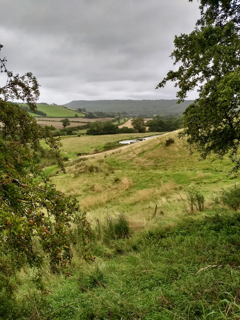
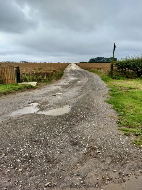
Visitors to Coombhill Plantation are greeted with a network of well-maintained trails that wind through the forest, allowing for leisurely walks, hikes, and exploration. The pathways are suitable for all ages and fitness levels, and benches are strategically placed along the routes, providing opportunities for rest and reflection amidst the tranquil surroundings.
The plantation is also home to a diverse range of wildlife, making it a popular destination for birdwatchers and nature enthusiasts. Species such as red deer, rabbits, and foxes can often be spotted in the area, adding to the enchanting atmosphere of the woodland.
Coombhill Plantation is open to the public year-round and offers ample parking facilities and picnic areas. It is a popular destination for families, couples, and individuals seeking a peaceful retreat from the hustle and bustle of everyday life.
Overall, Coombhill Plantation is a hidden gem in Yorkshire, offering visitors an opportunity to reconnect with nature and experience the beauty of the English countryside.
If you have any feedback on the listing, please let us know in the comments section below.
Coombhill Plantation Images
Images are sourced within 2km of 54.294318/-0.52456268 or Grid Reference SE9689. Thanks to Geograph Open Source API. All images are credited.

Coombhill Plantation is located at Grid Ref: SE9689 (Lat: 54.294318, Lng: -0.52456268)
Division: North Riding
Administrative County: North Yorkshire
District: Scarborough
Police Authority: North Yorkshire
What 3 Words
///firelight.movies.mega. Near East Ayton, North Yorkshire
Nearby Locations
Related Wikis

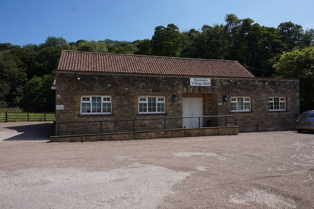
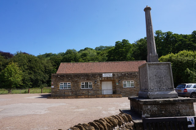
Hackness
Hackness is a village and civil parish in the Scarborough district of the county of North Yorkshire, England. It lies within the North York Moors National...
Wykeham Forest
Wykeham Forest is a 2,760-acre (1,115-hectare) woodland 6 miles (9.7 km) in the North York Moors National Park, near to Wykeham, west of Scarborough, England...

Broxa-cum-Troutsdale
Broxa-cum-Troutsdale is a civil parish in the Scarborough district of North Yorkshire, England. The population as of the 2011 census remained less than...
Broxa, North Yorkshire
Broxa is a village in the Scarborough district of North Yorkshire, England, within the North York Moors National Park. The village is 6.2 miles (10 km...

Silpho
Silpho is a village and civil parish in the Scarborough district of the county of North Yorkshire, England. According to the 2001 UK census, Silpho parish...
Suffield, North Yorkshire
Suffield is a hamlet in the parish of Suffield-cum-Everley in the Scarborough district of North Yorkshire, England. the hamlet is 4.5 miles (7.2 km) north...

Suffield-cum-Everley
Suffield-cum-Everley is a civil parish in the Scarborough district of North Yorkshire, England. According to the 2011 UK census, the parish (including...

Darncombe-cum-Langdale End
Darncombe-cum-Langdale End is a civil parish in the Scarborough district of North Yorkshire, England. According to the 2001 UK census, Darncombe-cum-Langdale...
Nearby Amenities
Located within 500m of 54.294318,-0.52456268Have you been to Coombhill Plantation?
Leave your review of Coombhill Plantation below (or comments, questions and feedback).