Harmston Field
Downs, Moorland in Lincolnshire North Kesteven
England
Harmston Field

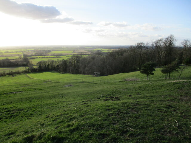
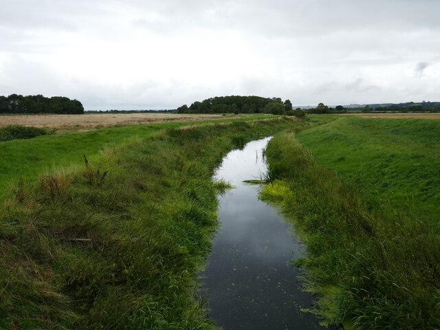
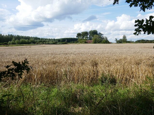
Harmston Field is a picturesque natural landscape located in Lincolnshire, England. Covering an expansive area, it is characterized by its diverse terrain of downs and moorland, offering visitors a unique and tranquil experience.
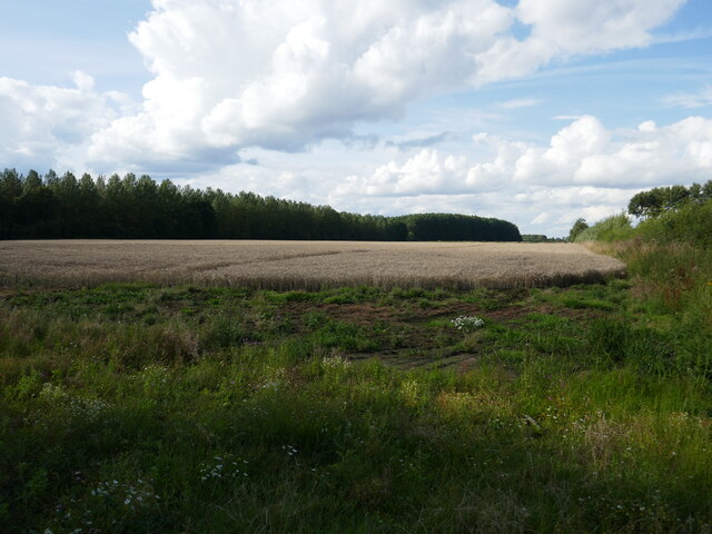
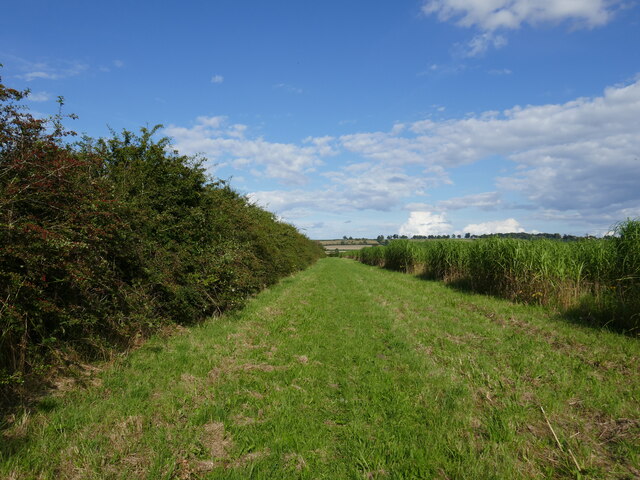
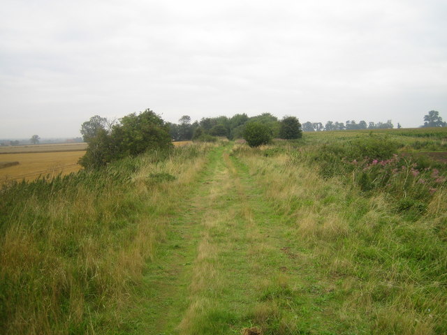
The downs in Harmston Field are rolling hills covered in lush green grass, providing a stunning backdrop to the entire area. These hills offer breathtaking views of the surrounding countryside, making it a popular spot for hikers and nature enthusiasts. The gentle slopes make it an accessible location for people of all ages and fitness levels.
The moorland in Harmston Field adds another dimension to its natural beauty. It is characterized by wide open spaces covered in heather and bracken, creating a rich tapestry of colors. The moorland is also home to a variety of wildlife, including birds, rabbits, and other small mammals, making it a haven for nature lovers and birdwatchers.
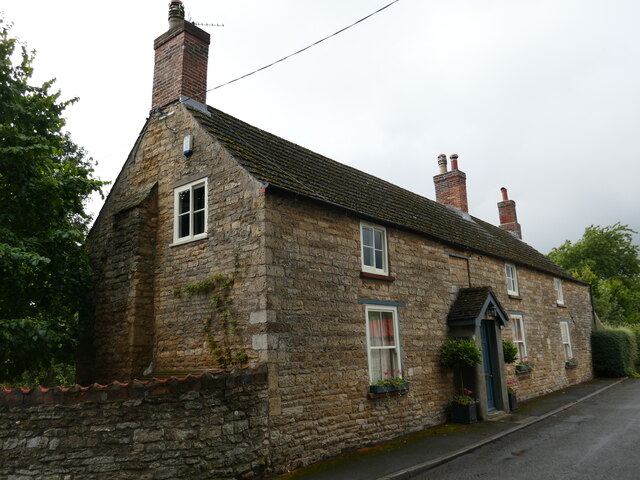
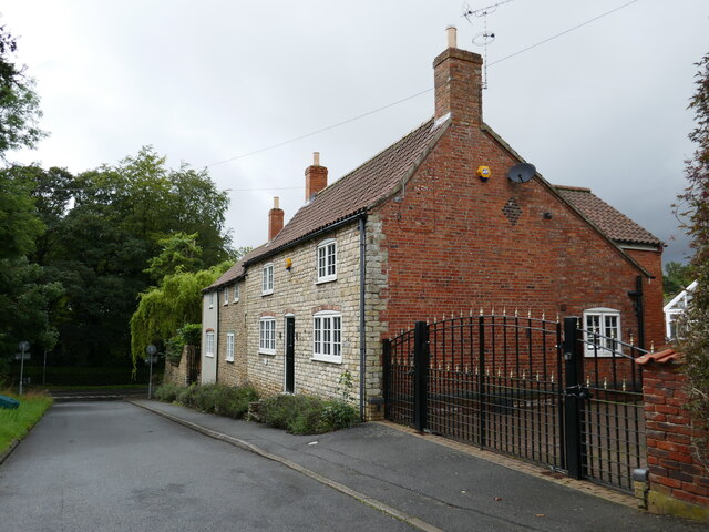
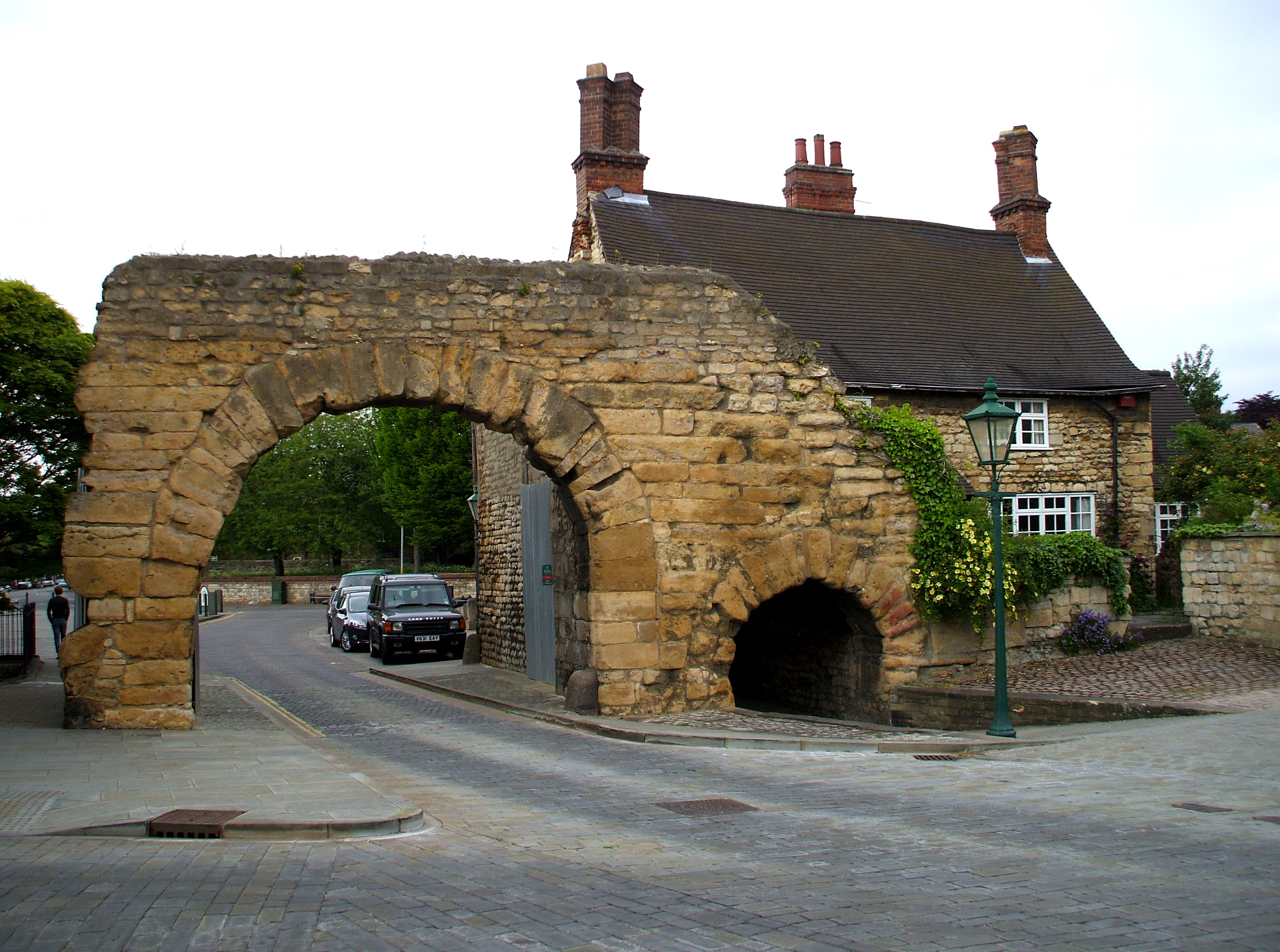
In addition to its natural beauty, Harmston Field is also rich in history. The area has been inhabited for centuries, with evidence of ancient settlements and burial mounds. It is believed that the downs were used for grazing livestock in the past, and some remnants of old stone walls can still be seen, adding an element of historical charm to the landscape.
Overall, Harmston Field in Lincolnshire is a captivating blend of downs and moorland, offering visitors a chance to immerse themselves in the beauty of nature and explore its rich history. Whether it's a leisurely stroll or a more challenging hike, this natural gem has something to offer for everyone.
If you have any feedback on the listing, please let us know in the comments section below.
Harmston Field Images
Images are sourced within 2km of 53.140844/-0.57093579 or Grid Reference SK9561. Thanks to Geograph Open Source API. All images are credited.


Harmston Field is located at Grid Ref: SK9561 (Lat: 53.140844, Lng: -0.57093579)
Administrative County: Lincolnshire
District: North Kesteven
Police Authority: Lincolnshire
What 3 Words
///wreck.fans.selection. Near Waddington, Lincolnshire
Nearby Locations
Related Wikis
Harmston railway station
Harmston railway station was a station in Harmston, Lincolnshire on the Grantham and Lincoln railway line. It closed in 1962 but the line remained open...

North Kesteven Rural District
North Kesteven was a rural district in Kesteven, Lincolnshire from 1931 to 1974. It was created in 1931 under a County Review Order, and was formed from...
Harmston
Harmston is a village and civil parish in the North Kesteven district of Lincolnshire, England. It is situated just west off the A607, and 5 miles (8 km...

Coleby, North Kesteven
Coleby is a village and civil parish in the North Kesteven district of Lincolnshire, England. It is situated on the A607, and approximately 6 miles (10...

River Brant
The River Brant is a 14 mi-long (23 km) tributary of the River Witham that flows entirely in the county of Lincolnshire, in the east of England. In 1855...

Somerton Castle
Somerton Castle is located approximately 1 mile (1.6 km) west of the village of Boothby Graffoe in Lincolnshire, England and to the south of the city of...
Ermine Street
Ermine Street is a major Roman road in England that ran from London (Londinium) to Lincoln (Lindum Colonia) and York (Eboracum). The Old English name...

Aubourn Haddington and South Hykeham
Aubourn Haddington and South Hykeham was a former civil parish in the North Kesteven district of Lincolnshire, England. According to the 2001 census it...
Nearby Amenities
Located within 500m of 53.140844,-0.57093579Have you been to Harmston Field?
Leave your review of Harmston Field below (or comments, questions and feedback).