Pasture Plantation
Wood, Forest in Lincolnshire North Kesteven
England
Pasture Plantation

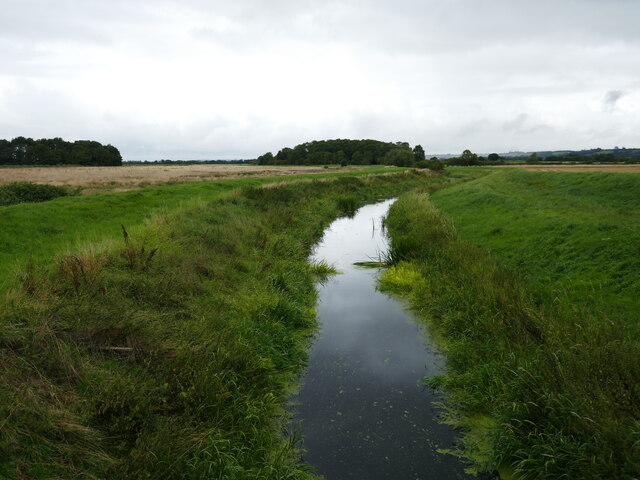
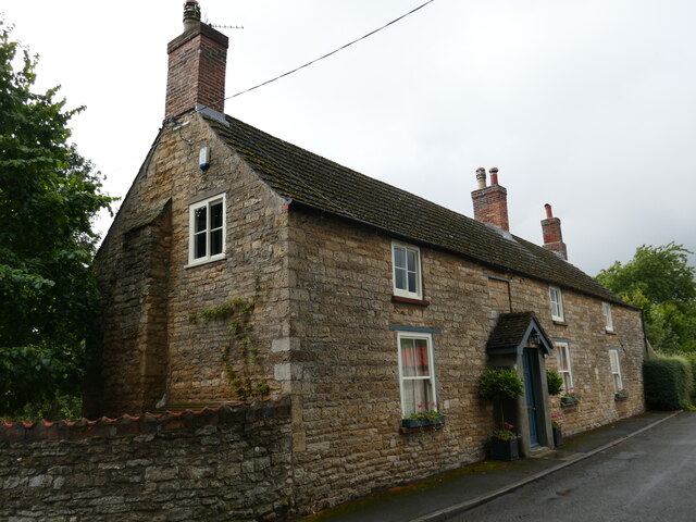
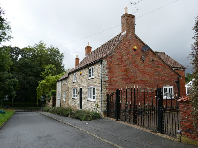
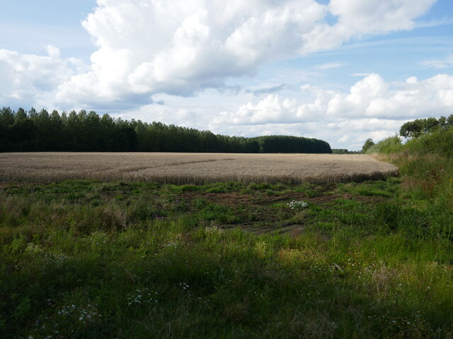
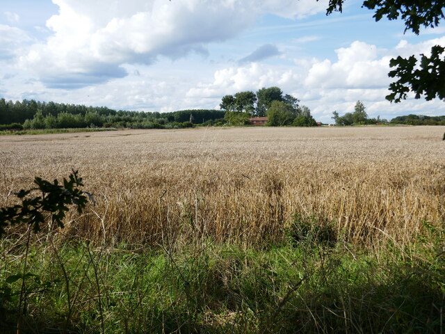
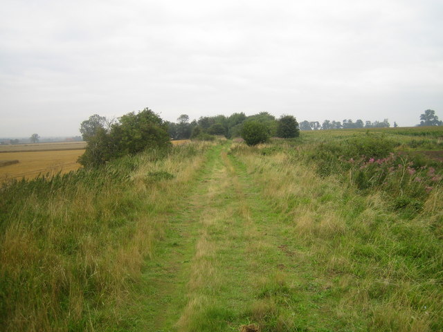
Pasture Plantation, located in Lincolnshire, is a picturesque woodland area known for its lush green pastures and dense forest cover. Situated in the eastern part of England, this plantation encompasses a vast expanse of land, offering a diverse range of flora and fauna to its visitors.
The woodland area of Pasture Plantation is characterized by its majestic oak and beech trees, which create a canopy of shade and provide a habitat for various animal species. The forest floor is carpeted with an array of wildflowers, ferns, and mosses, adding to the enchanting beauty of the landscape.
The plantation's pastures are well-maintained and provide ample grazing opportunities for livestock, making it a popular spot for local farmers. The fertile soil of the area, coupled with favorable weather conditions, ensures a rich and abundant growth of grass, which serves as a vital food source for the animals.
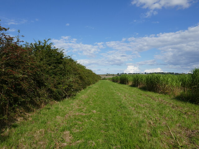
Pasture Plantation is not only a haven for nature enthusiasts but also offers numerous recreational activities for visitors. The well-maintained trails winding through the woodland provide ample opportunities for hiking, biking, and horseback riding. The plantation also boasts several picnic areas, where families can enjoy a leisurely day out surrounded by nature's beauty.
The plantation is home to a diverse range of wildlife, including deer, squirrels, rabbits, and various bird species. Birdwatchers flock to the area to catch a glimpse of rare and migratory birds that frequent the woodland. The plantation also supports a healthy population of bats, contributing to the local ecosystem.
Overall, Pasture Plantation is a captivating destination for nature lovers, offering a serene escape from the hustle and bustle of city life. With its verdant pastures, dense forest cover, and abundance of wildlife, it truly showcases the beauty and tranquility of the Lincolnshire countryside.
If you have any feedback on the listing, please let us know in the comments section below.
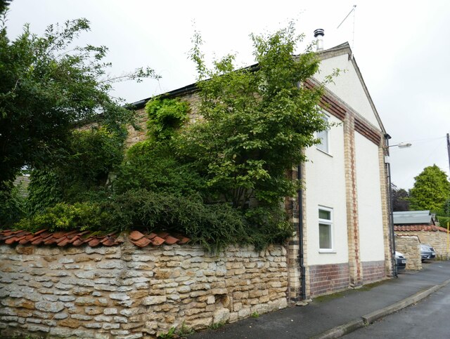
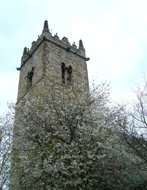
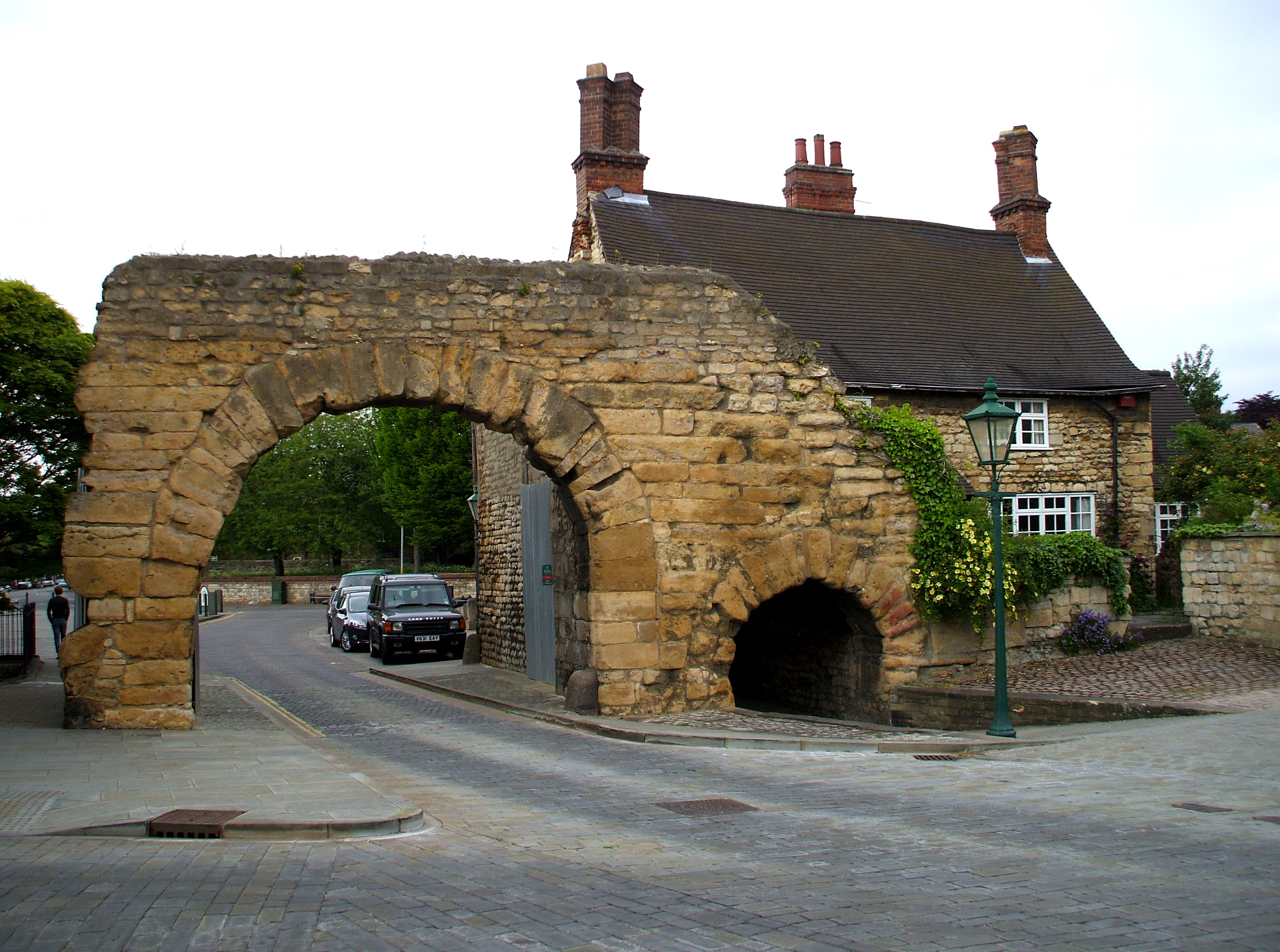
Pasture Plantation Images
Images are sourced within 2km of 53.145283/-0.57452642 or Grid Reference SK9561. Thanks to Geograph Open Source API. All images are credited.


Pasture Plantation is located at Grid Ref: SK9561 (Lat: 53.145283, Lng: -0.57452642)
Administrative County: Lincolnshire
District: North Kesteven
Police Authority: Lincolnshire
What 3 Words
///beads.growl.weeded. Near Waddington, Lincolnshire
Nearby Locations
Related Wikis
Harmston railway station
Harmston railway station was a station in Harmston, Lincolnshire on the Grantham and Lincoln railway line. It closed in 1962 but the line remained open...

North Kesteven Rural District
North Kesteven was a rural district in Kesteven, Lincolnshire from 1931 to 1974. It was created in 1931 under a County Review Order, and was formed from...

River Brant
The River Brant is a 14 mi-long (23 km) tributary of the River Witham that flows entirely in the county of Lincolnshire, in the east of England. In 1855...
Harmston
Harmston is a village and civil parish in the North Kesteven district of Lincolnshire, England. It is situated just west off the A607, and 5 miles (8 km...
Ermine Street
Ermine Street is a major Roman road in England that ran from London (Londinium) to Lincoln (Lindum Colonia) and York (Eboracum). The Old English name...

Coleby, North Kesteven
Coleby is a village and civil parish in the North Kesteven district of Lincolnshire, England. It is situated on the A607, and approximately 6 miles (10...

Aubourn Haddington and South Hykeham
Aubourn Haddington and South Hykeham was a former civil parish in the North Kesteven district of Lincolnshire, England. According to the 2001 census it...

Somerton Castle
Somerton Castle is located approximately 1 mile (1.6 km) west of the village of Boothby Graffoe in Lincolnshire, England and to the south of the city of...
Nearby Amenities
Located within 500m of 53.145283,-0.57452642Have you been to Pasture Plantation?
Leave your review of Pasture Plantation below (or comments, questions and feedback).