West Field
Downs, Moorland in Yorkshire
England
West Field

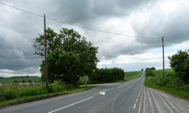
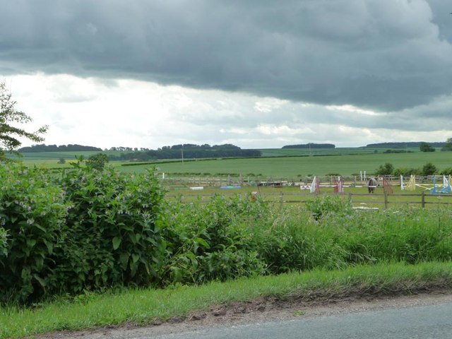
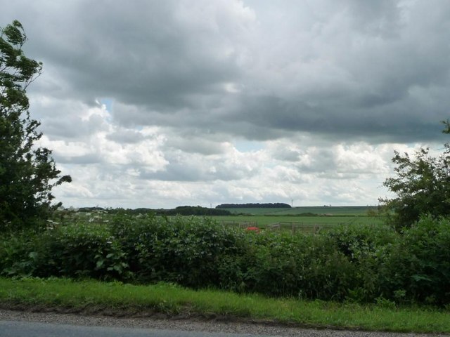
West Field is a picturesque area located in Yorkshire, known for its stunning downs and moorland landscapes. The rolling hills and vast open spaces offer breathtaking views of the surrounding countryside. The area is rich in flora and fauna, with a variety of plant species and wildlife thriving in the diverse habitats.
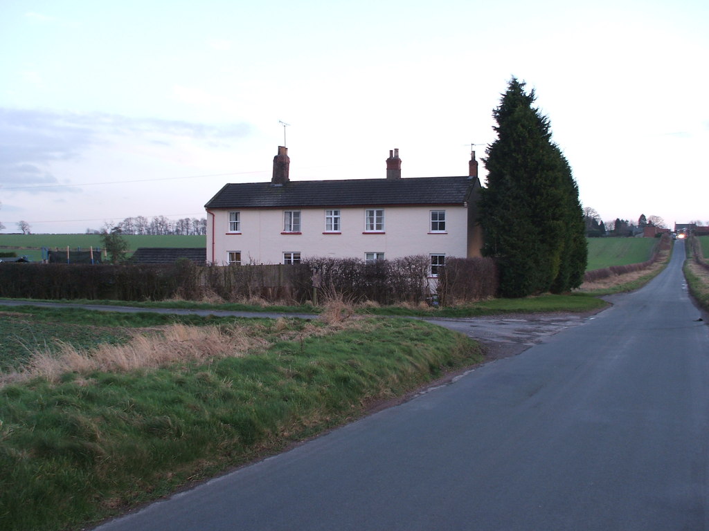
West Field is a popular destination for outdoor enthusiasts, with numerous walking and hiking trails crisscrossing the countryside. Visitors can explore the rugged terrain and discover hidden gems such as ancient ruins, stone circles, and historic landmarks. The area is also home to several quaint villages and charming country pubs, providing a taste of traditional Yorkshire hospitality.
In addition to its natural beauty, West Field is a haven for wildlife enthusiasts, with sightings of birds of prey, deer, and other native species common throughout the year. The area is also a designated conservation area, with efforts being made to protect and preserve its unique ecosystem.
Overall, West Field offers a peaceful retreat for those looking to escape the hustle and bustle of city life and immerse themselves in the beauty of the Yorkshire countryside.
If you have any feedback on the listing, please let us know in the comments section below.
West Field Images
Images are sourced within 2km of 54.032195/-0.54037824 or Grid Reference SE9560. Thanks to Geograph Open Source API. All images are credited.


West Field is located at Grid Ref: SE9560 (Lat: 54.032195, Lng: -0.54037824)
Division: East Riding
Unitary Authority: East Riding of Yorkshire
Police Authority: Humberside
What 3 Words
///whites.then.nurtures. Near Wetwang, East Yorkshire
Nearby Locations
Related Wikis
Wetwang railway station
Wetwang railway station (SE933596) was a railway station on the Malton & Driffield Railway in the East Riding of Yorkshire, England. It served the village...

Wetwang Slack
Wetwang Slack is an Iron Age archaeological site containing remains of the Arras culture and chariot burial tradition of East Yorkshire. Archaeological...
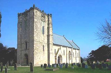
Church of St Michael and All Angels, Garton on the Wolds
The Church of St Michael and all Angels, Garton on the Wolds, in the East Riding of Yorkshire is a church of medieval origins that was built c.1132 for...

Wetwang
Wetwang is a Yorkshire Wolds village and civil parish in the East Riding of Yorkshire, England, 6 miles (10 kilometres) west of Driffield on the A166 road...
Related Videos
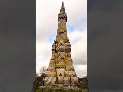
Sir Tatton Sykes monument
Travel UK, visiting Sir Tatton Sykes monument #explore #monument #travel #travelvlog #uk #video #shorts #exploring ...

WORLD'S STRANGEST NAMED PLACES #shorts
in this video we visit a strange named town village in yorkshire called wet wang. wet wang in my mind means something very ...
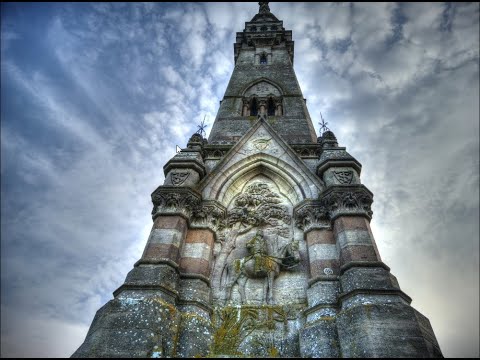
Sir Tatton Sykes Monument, Driffield East Yorkshire.(2023) DJI Mini 3 Pro
https://www.droneadventure.co.uk/places-to-fly/sir-tatton-sykes-monument-a-towering-tribute-to-a-yorkshire-gentleman/ ...
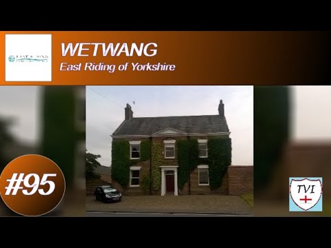
WETWANG: East Riding of Yorkshire Parish #95 of 172
EAST RIDING OF YORKSHIRE PARISH #95: WETWANG Oh how I've been looking forward to this one. Welcome to Wetwang ...
Nearby Amenities
Located within 500m of 54.032195,-0.54037824Have you been to West Field?
Leave your review of West Field below (or comments, questions and feedback).