Aubourn Fen
Downs, Moorland in Lincolnshire North Kesteven
England
Aubourn Fen
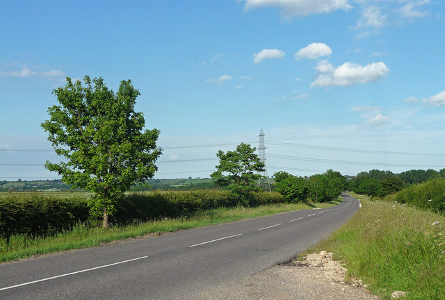
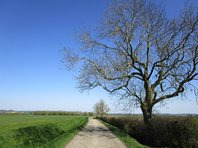
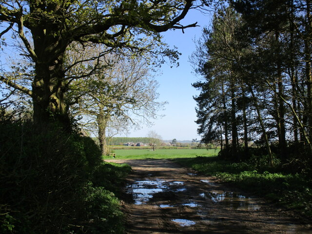
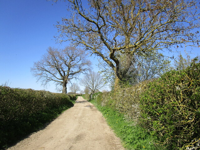
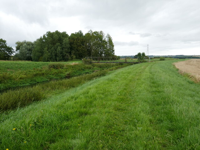
Aubourn Fen is a picturesque area located in Lincolnshire, England, known for its diverse landscape comprising downs and moorland. Covering an approximate area of several square kilometers, this fen provides a haven for various plant and animal species.
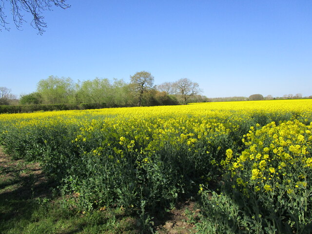
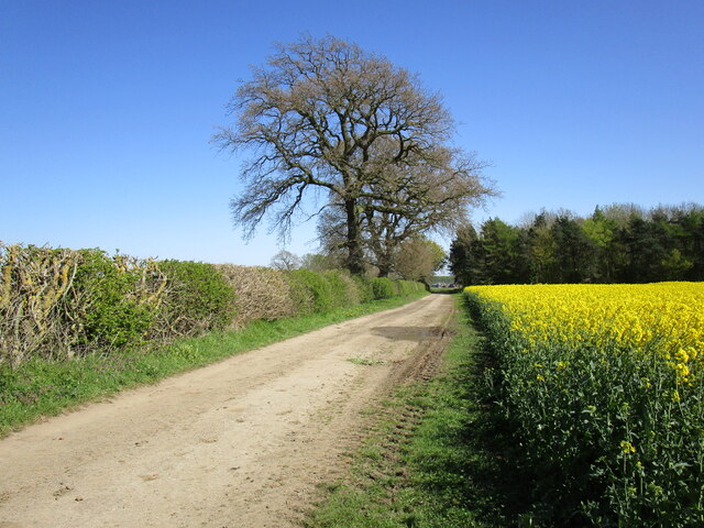
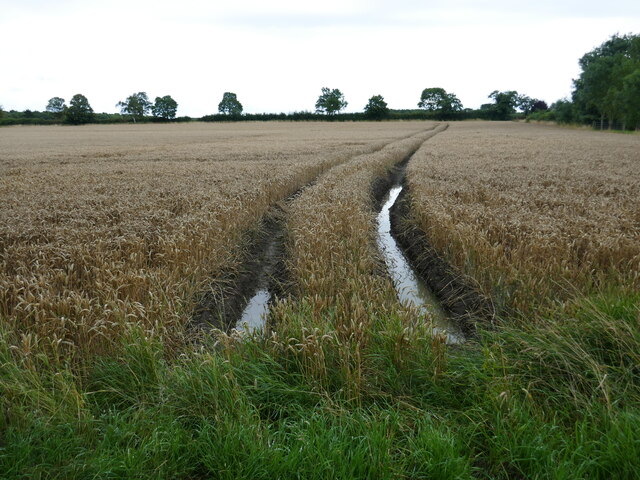
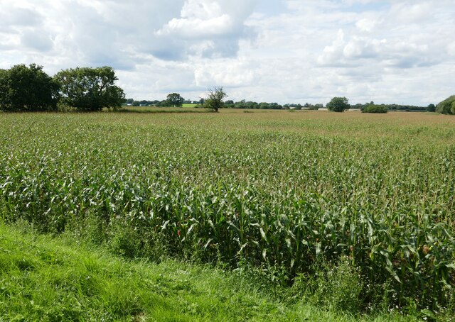
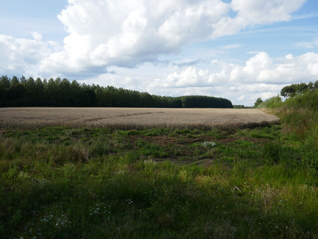
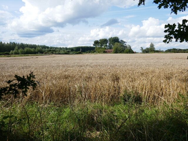
The fen's downs offer stunning views of rolling hills and meadows that are covered with a rich tapestry of wildflowers during the summer months. These downs are also characterized by their fertile soil, which supports the growth of a wide range of crops, such as wheat and barley, making agriculture a significant industry in the area.
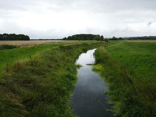
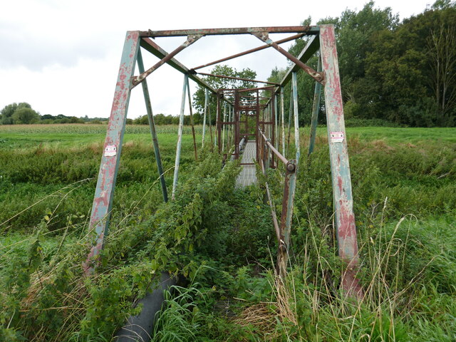
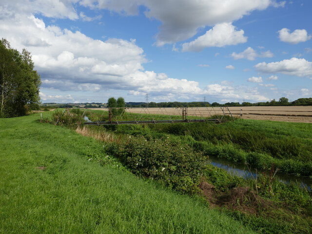
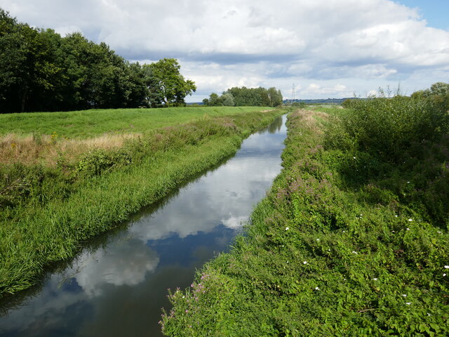
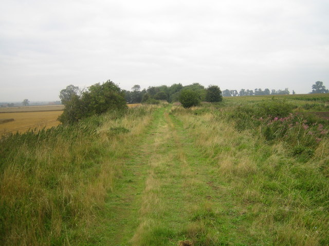
In contrast, the fen's moorland is characterized by its open, expansive plains and heathland. This type of landscape is home to a diverse array of plant species, including heather, cotton grass, and various types of mosses. The moorland also provides habitat for an abundance of wildlife, such as rabbits, hares, and various bird species, including skylarks and lapwings.
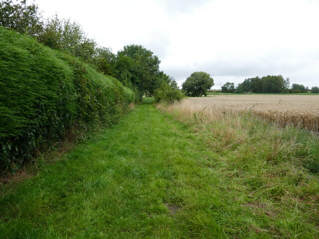
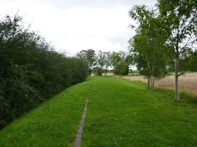
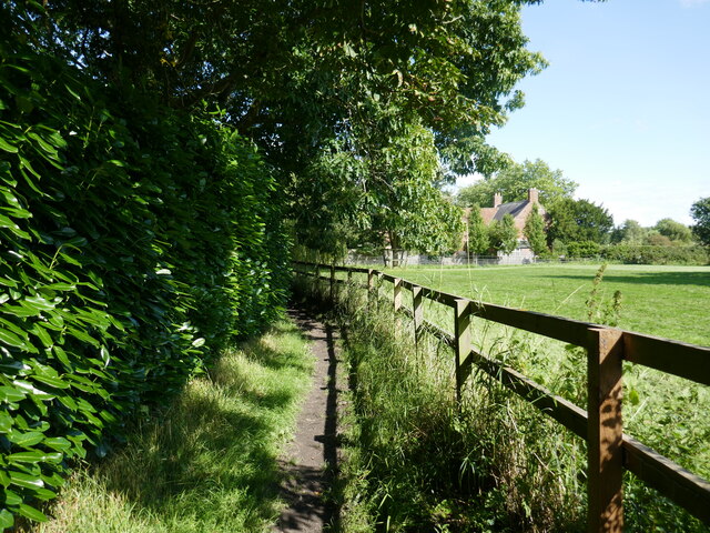
Aubourn Fen is a popular destination for nature enthusiasts and hikers, who are drawn to its tranquil beauty and the opportunity to observe and photograph the local flora and fauna. Additionally, the fen serves as an important ecological site for scientific research and conservation efforts due to the unique combination of downs and moorland within its boundaries.
Overall, Aubourn Fen in Lincolnshire offers visitors and researchers alike a chance to experience the natural wonders of a diverse landscape, providing a valuable habitat for both plants and animals.
If you have any feedback on the listing, please let us know in the comments section below.
Aubourn Fen Images
Images are sourced within 2km of 53.1476/-0.5924976 or Grid Reference SK9462. Thanks to Geograph Open Source API. All images are credited.
Aubourn Fen is located at Grid Ref: SK9462 (Lat: 53.1476, Lng: -0.5924976)
Administrative County: Lincolnshire
District: North Kesteven
Police Authority: Lincolnshire
What 3 Words
///alcove.chosen.copycat. Near Bassingham, Lincolnshire
Nearby Locations
Related Wikis

Aubourn Haddington and South Hykeham
Aubourn Haddington and South Hykeham was a former civil parish in the North Kesteven district of Lincolnshire, England. According to the 2001 census it...

River Brant
The River Brant is a 14 mi-long (23 km) tributary of the River Witham that flows entirely in the county of Lincolnshire, in the east of England. In 1855...
Harmston railway station
Harmston railway station was a station in Harmston, Lincolnshire on the Grantham and Lincoln railway line. It closed in 1962 but the line remained open...

Aubourn
Aubourn ("Stream where the Alders grow") is a small village in the civil parish of Aubourn with Haddington, in the North Kesteven district, in the county...

Aubourn with Haddington
Aubourn with Haddington or Aubourn and Haddington is a civil parish in the North Kesteven district of Lincolnshire, England. The population of the civil...

South Hykeham
South Hykeham is a village and civil parish in the North Kesteven district of Lincolnshire, England. The population of the civil parish at the 2011 census...

Haddington, Lincolnshire
Haddington is a hamlet in the civil parish of Aubourn with Haddington, in the North Kesteven district of Lincolnshire, England. It is situated just off...

North Kesteven Rural District
North Kesteven was a rural district in Kesteven, Lincolnshire from 1931 to 1974. It was created in 1931 under a County Review Order, and was formed from...
Nearby Amenities
Located within 500m of 53.1476,-0.5924976Have you been to Aubourn Fen?
Leave your review of Aubourn Fen below (or comments, questions and feedback).