Cave Wold
Downs, Moorland in Yorkshire
England
Cave Wold

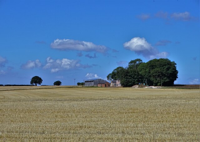
Cave Wold is a picturesque area located in the county of Yorkshire, England. Situated amidst the rolling hills of the Yorkshire Wolds, this region is known for its stunning landscapes and rich history. The area is characterized by its expansive downs and moorland, offering visitors a diverse range of natural beauty to explore.
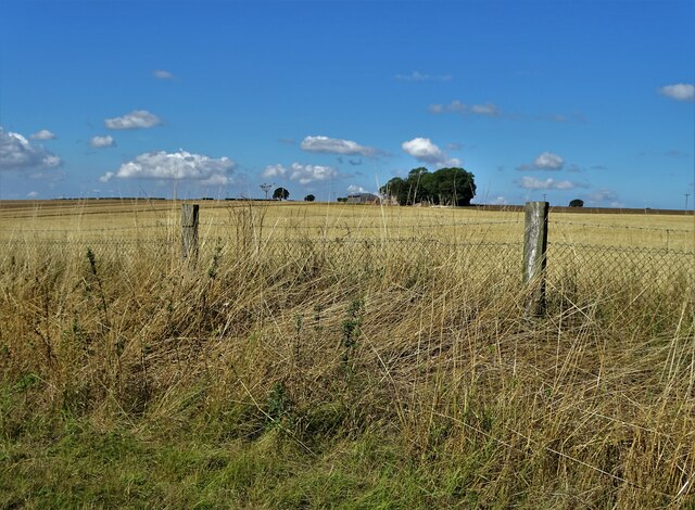
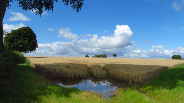
The downs of Cave Wold are a sight to behold, with their gently sloping hills covered in lush green grass and dotted with vibrant wildflowers. These wide open spaces provide a perfect setting for peaceful walks and picnics, offering breathtaking panoramic views of the surrounding countryside.
The moorland in Cave Wold is equally captivating, with its rugged terrain and vast expanses of heather-covered hills. This unique landscape is home to a variety of wildlife, including birds of prey, deer, and rare plant species. Hikers and nature enthusiasts are drawn to the moorland's beauty and tranquility, as well as its network of walking trails that wind through the area.
In addition to its natural wonders, Cave Wold also boasts a rich history that dates back centuries. The area is dotted with ancient burial sites, Iron Age forts, and medieval churches, providing a glimpse into the region's past. Visitors can explore these historical landmarks and learn about the people who once inhabited this land.
Overall, Cave Wold in Yorkshire is a captivating destination, offering a harmonious blend of natural beauty and historical charm. Whether it's a leisurely stroll across the downs or an adventurous hike through the moorland, visitors are sure to be enchanted by the tranquility and allure of this remarkable region.
If you have any feedback on the listing, please let us know in the comments section below.
Cave Wold Images
Images are sourced within 2km of 53.777141/-0.57241594 or Grid Reference SE9432. Thanks to Geograph Open Source API. All images are credited.


Cave Wold is located at Grid Ref: SE9432 (Lat: 53.777141, Lng: -0.57241594)
Division: East Riding
Unitary Authority: East Riding of Yorkshire
Police Authority: Humberside
What 3 Words
///confident.sectors.certainly. Near South Cave, East Yorkshire
Nearby Locations
Related Wikis
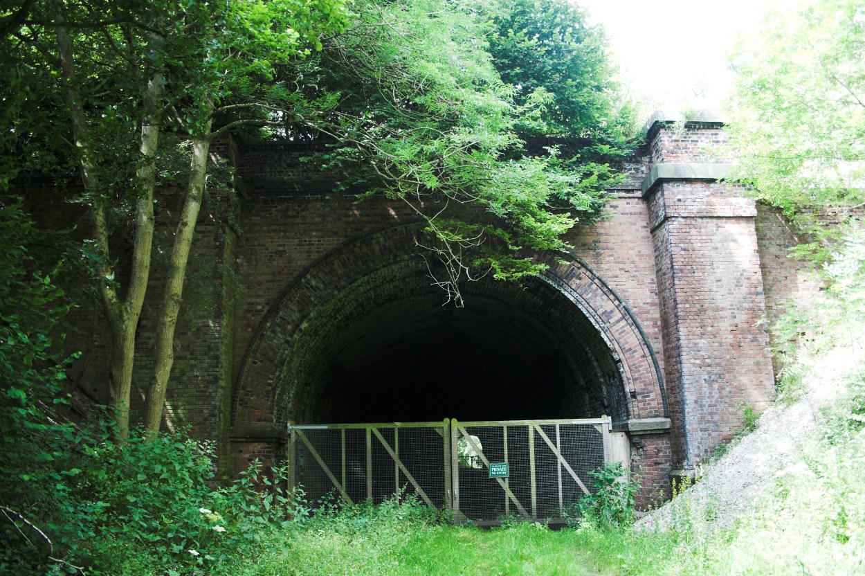
Weedley Tunnel
Weedley Tunnel at grid reference SE 935 331 is a disused tunnel on the former Hull and Barnsley Railway. Weedley Tunnel is 132 yards (121 m) long with...

Sugar Loaf Tunnel
Sugar Loaf Tunnel is a disused railway tunnel on the former Hull and Barnsley Railway between Everthorpe and Little Weighton. The tunnel is 132 yards...

South Cave
South Cave is a village and civil parish in the East Riding of Yorkshire, England. It is situated approximately 14 miles (23 km) to the west of Hull city...
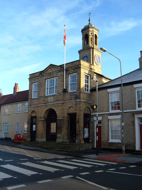
South Cave Town Hall
South Cave Town Hall is a municipal building in the Market Place, South Cave, East Riding of Yorkshire, England. The building, which is the meeting place...
Have you been to Cave Wold?
Leave your review of Cave Wold below (or comments, questions and feedback).