Sweattyhill Plantation
Wood, Forest in Yorkshire
England
Sweattyhill Plantation

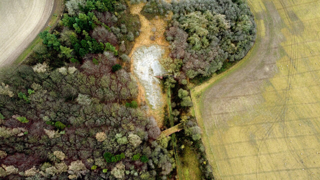
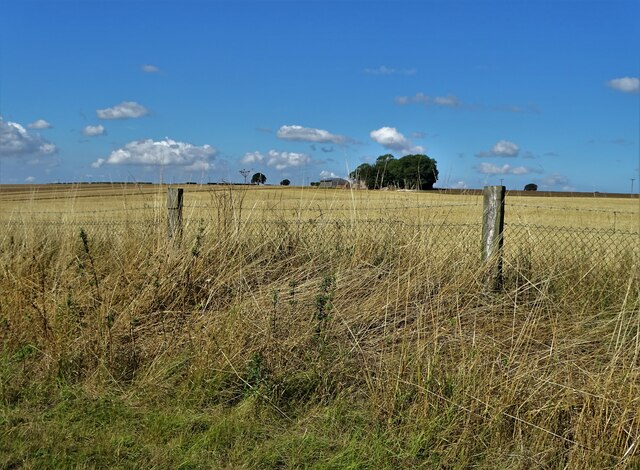
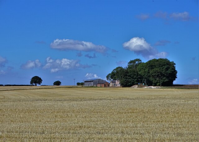
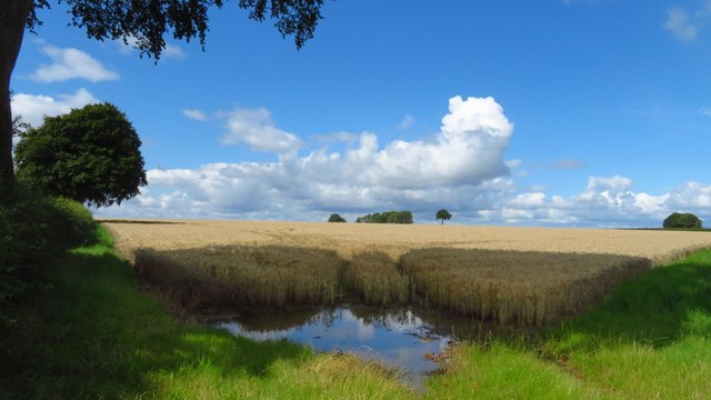
Sweattyhill Plantation is a picturesque woodland area located in Yorkshire, England. Situated in the heart of the county, the plantation covers a vast area of lush greenery and dense forest, offering a tranquil and serene escape from the hustle and bustle of everyday life.
The plantation is home to a variety of flora and fauna, with an abundance of native trees such as oak, beech, and birch, creating a rich and diverse ecosystem. The forest floor is adorned with a carpet of wildflowers, adding a splash of color to the landscape throughout the year.
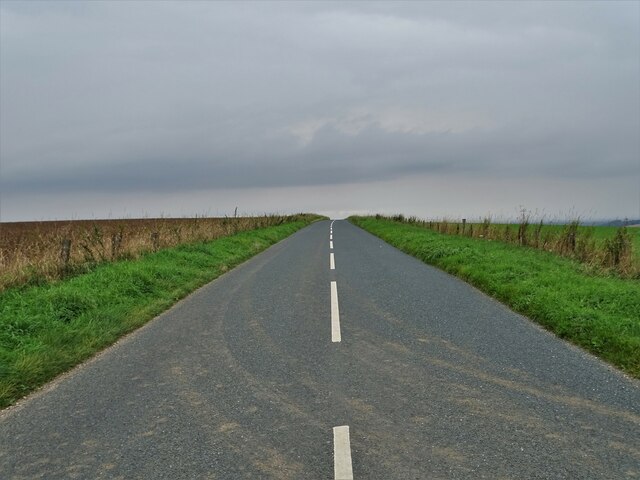
Visitors to Sweattyhill Plantation can explore its numerous walking trails and enjoy the peaceful ambiance that the woodland provides. The plantation offers a range of activities for nature enthusiasts, including birdwatching, wildlife spotting, and photography. The area is known to be a haven for various bird species, including woodpeckers, owls, and songbirds.
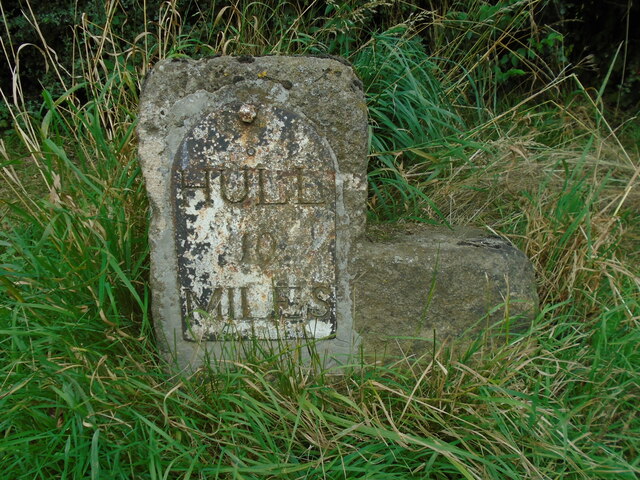
Furthermore, Sweattyhill Plantation has historical significance, dating back centuries. It was once part of a larger estate and played a vital role in the region's timber industry. Today, remnants of the past can be seen in the form of old stone walls and ancient oak trees, adding an air of mystery and charm to the surroundings.
Overall, Sweattyhill Plantation is a hidden gem in Yorkshire, offering visitors an opportunity to immerse themselves in the beauty of nature and experience the tranquility of a woodland sanctuary.
If you have any feedback on the listing, please let us know in the comments section below.
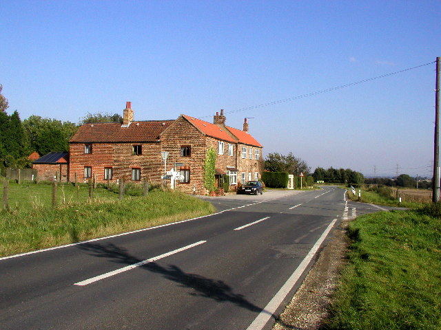
Sweattyhill Plantation Images
Images are sourced within 2km of 53.778828/-0.57070445 or Grid Reference SE9432. Thanks to Geograph Open Source API. All images are credited.


Sweattyhill Plantation is located at Grid Ref: SE9432 (Lat: 53.778828, Lng: -0.57070445)
Division: East Riding
Unitary Authority: East Riding of Yorkshire
Police Authority: Humberside
What 3 Words
///professes.weeded.crowbar. Near South Cave, East Yorkshire
Nearby Locations
Related Wikis
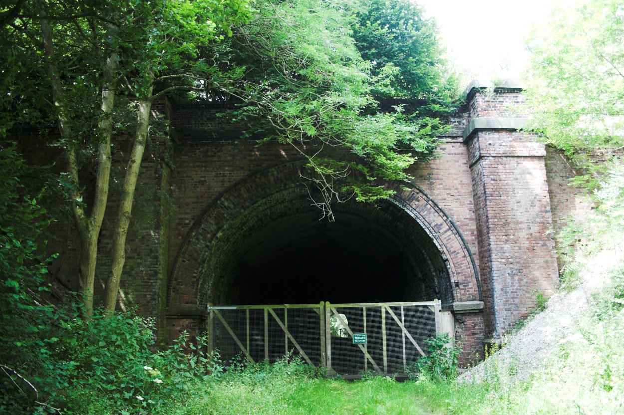
Weedley Tunnel
Weedley Tunnel at grid reference SE 935 331 is a disused tunnel on the former Hull and Barnsley Railway. Weedley Tunnel is 132 yards (121 m) long with...

Sugar Loaf Tunnel
Sugar Loaf Tunnel is a disused railway tunnel on the former Hull and Barnsley Railway between Everthorpe and Little Weighton. The tunnel is 132 yards...
Riplingham
Riplingham is a hamlet in the East Riding of Yorkshire, England. It is situated approximately 7 miles (11 km) south-west of Beverley and 3 miles (4.8 km...

South Cave
South Cave is a village and civil parish in the East Riding of Yorkshire, England. It is situated approximately 14 miles (23 km) to the west of Hull city...
Have you been to Sweattyhill Plantation?
Leave your review of Sweattyhill Plantation below (or comments, questions and feedback).