Brant Plantation

Wood, Forest in Lincolnshire North Kesteven

England

Brant Plantation

Blackmoor Road near Aubourn Heading west towards Aubourn.
Blackmoor Road near Aubourn Credit: Stephen Richards

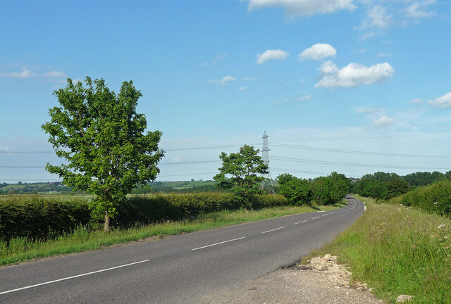
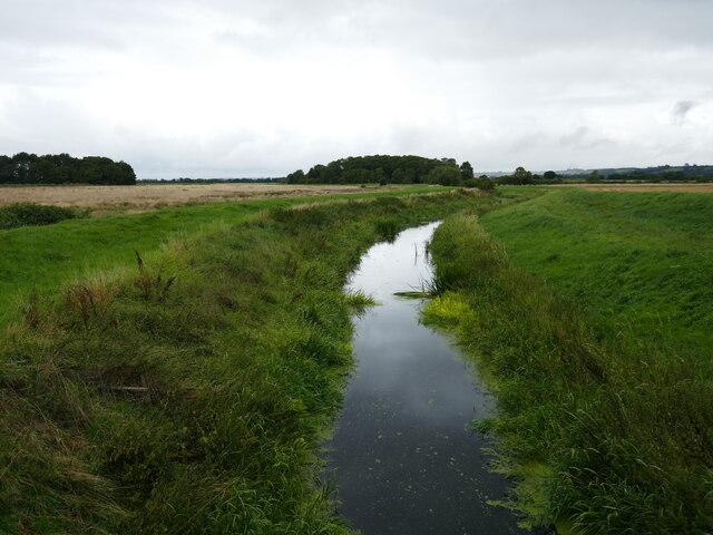
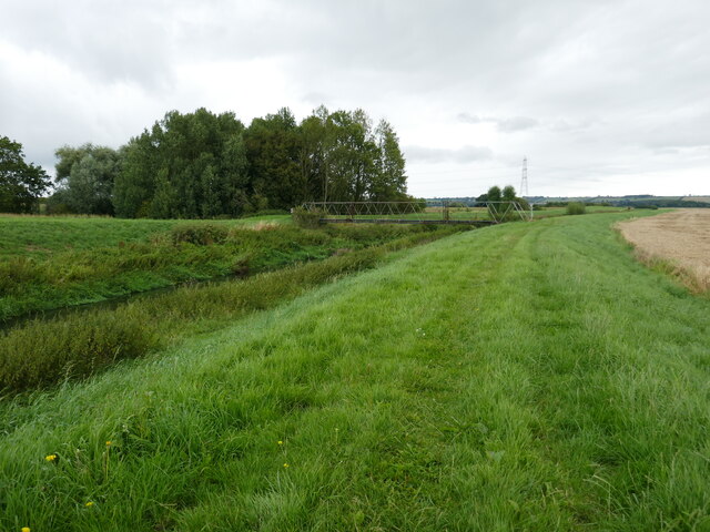
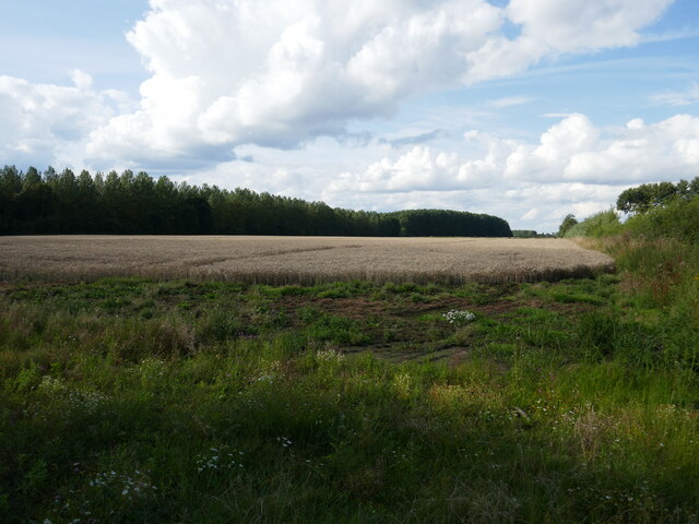
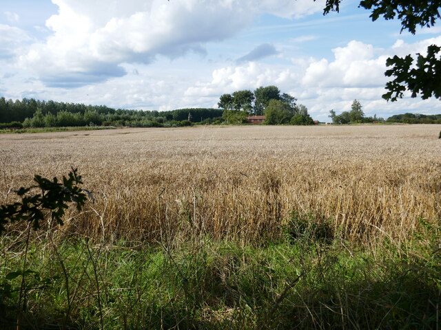
Brant Plantation is a picturesque woodland located in Lincolnshire, England. Covering an area of approximately 200 acres, the plantation is known for its dense forest and diverse range of plant and animal species. The woodland is situated in the heart of the county, surrounded by rolling hills and meandering streams.

The plantation is predominantly made up of deciduous trees, such as oak, beech, and birch, which create a stunning canopy during the summer months. These trees provide a habitat for a variety of bird species, including woodpeckers, thrushes, and owls, making it a popular spot for birdwatchers and nature enthusiasts.

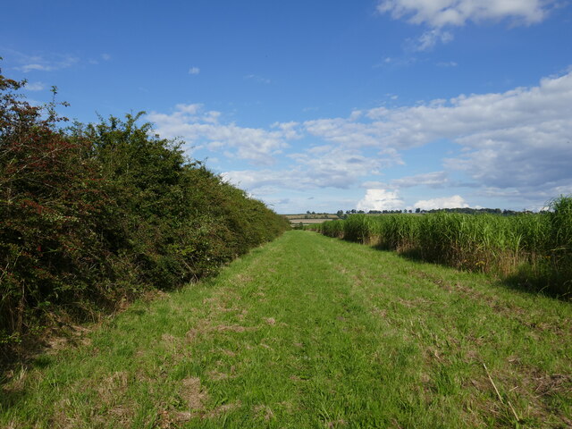
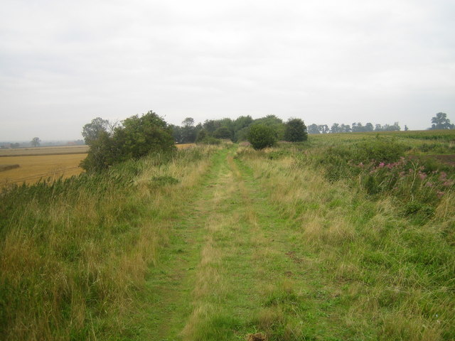
A network of well-maintained trails weaves through the woodland, offering visitors the opportunity to explore the plantation's natural beauty on foot or by bike. Along these paths, one can come across small clearings, where wildflowers bloom in vibrant colors, attracting butterflies and bees.

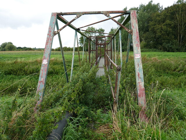
Brant Plantation also boasts a rich history, with evidence of human activity dating back centuries. The remains of an old iron smelting furnace can still be seen, serving as a reminder of the area's industrial past. Additionally, the woodland is home to several ancient burial mounds, providing a glimpse into the lives of the people who once inhabited the region.

Overall, Brant Plantation is a captivating destination for those seeking tranquility and a connection with nature. Its combination of lush woodland, diverse wildlife, and historical significance make it a cherished natural asset in Lincolnshire.

If you have any feedback on the listing, please let us know in the comments section below.

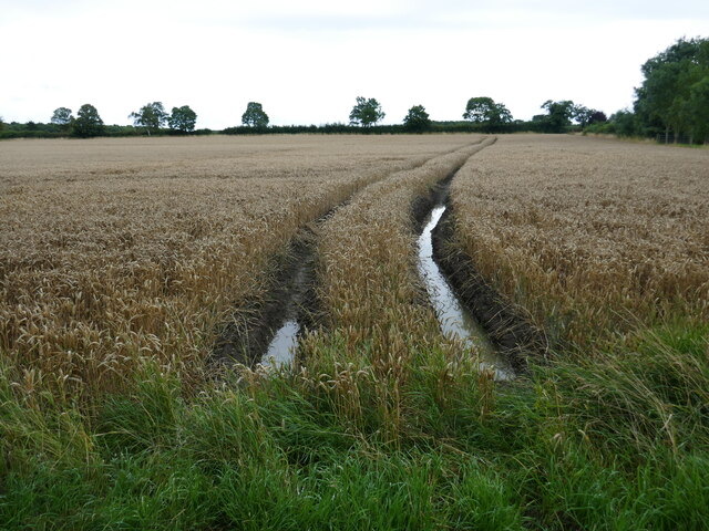
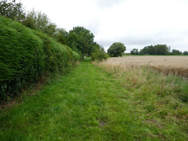
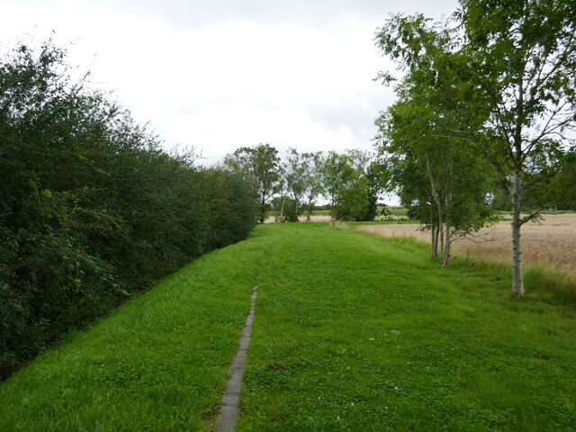
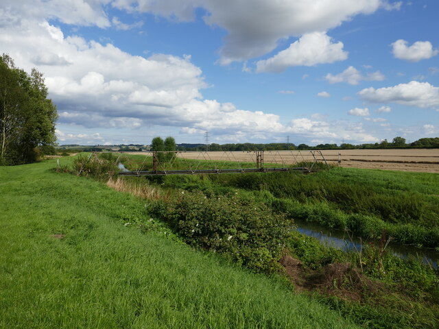
Brant Plantation Images

Images are sourced within 2km of 53.146827/-0.583372 or Grid Reference SK9462. Thanks to Geograph Open Source API. All images are credited.

Blackmoor Road near Aubourn Heading west towards Aubourn.
Blackmoor Road near Aubourn
Heading west towards Aubourn.
The River Brant below Blackmoor Bridge
Unsafe bridge Not for pedestrian use. A sign says there is an alternative route but gives no indication where it is.
Unsafe bridge
Not for pedestrian use. A sign says there is an alternative route but gives no indication where it is.
Bridleway alongside the River Witham The bridge over the river is closed. A sign gives notice of an alternative route but there is no indication where it goes.
Bridleway alongside the River Witham
The bridge over the river is closed. A sign gives notice of an alternative route but there is no indication where it goes.
Sodden field After a very wet July, August is not proving any drier. Harvest conditions are very poor.
Sodden field
After a very wet July, August is not proving any drier. Harvest conditions are very poor.
Bridleway at Aubourn In theory the bridleway goes to South Hykeham but as the bridge over the River Witham is closed (and has been for many years) it does not even reach the woodland seen on the right.
Bridleway at Aubourn
In theory the bridleway goes to South Hykeham but as the bridge over the River Witham is closed (and has been for many years) it does not even reach the woodland seen on the right.
Bridge over the River Witham The bridge has been deemed unsuitable for use by pedestrians for many years though it appears to carry a sewage pipe.
Bridge over the River Witham
The bridge has been deemed unsuitable for use by pedestrians for many years though it appears to carry a sewage pipe.
Wheat field off Broughton Lane Brant Plantation on the left.
Wheat field off Broughton Lane
Brant Plantation on the left.
Barley field and Broughton Lane Farm
Pasture Lane Not a public right of way.
Pasture Lane
Not a public right of way.
Coleby Low Fields
Coleby Low Fields
Alongside the River Witham near Aubourn
Bridge over the River Witham Unsafe for pedestrian use.
Bridge over the River Witham
Unsafe for pedestrian use.
Footpath to Harmston A field of miscanthus on the right.
Footpath to Harmston
A field of miscanthus on the right.
Wheat field and Hole Plantation, Harmston Low Fields
Footpath to Broughton Lane
Derelict crew yard, Harmston
Show me another place!

Brant Plantation is located at Grid Ref: SK9462 (Lat: 53.146827, Lng: -0.583372)

Administrative County: Lincolnshire

District: North Kesteven

Police Authority: Lincolnshire

What 3 Words

///airship.sampled.concerned. Near Waddington, Lincolnshire

Related Wikis

Harmston railway station

Harmston railway station was a station in Harmston, Lincolnshire on the Grantham and Lincoln railway line. It closed in 1962 but the line remained open...

River Brant

The River Brant is a 14 mi-long (23 km) tributary of the River Witham that flows entirely in the county of Lincolnshire, in the east of England. In 1855...

North Kesteven Rural District

North Kesteven was a rural district in Kesteven, Lincolnshire from 1931 to 1974. It was created in 1931 under a County Review Order, and was formed from...

Aubourn Haddington and South Hykeham

Aubourn Haddington and South Hykeham was a former civil parish in the North Kesteven district of Lincolnshire, England. According to the 2001 census it...

Nearby Amenities

Located within 500m of 53.146827,-0.583372
Broughton Lane Farm
Place: farm
Source: Bing
Lat/Long: 53.1431951/-0.5802364
Harmston Low Fields
Place: locality
Source: Bing
Lat/Long: 53.1451496/-0.5824662
The data included in this document is from www.openstreetmap.org. The data is made available under ODbL.

Have you been to Brant Plantation?

Leave your review of Brant Plantation below (or comments, questions and feedback).