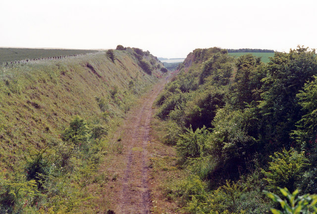
Enthorpe Cutting

Downs, Moorland in Yorkshire

England

Enthorpe Cutting

View towards Enthorpe Station Enthorpe station was on the former Market Weighton to Driffield line which opened in 1890 as the Scarborough, Bridlington and West Riding Junction Railway and which was finally closed by British Railways in 1965. Enthorpe station along with the other intermediate stations had already closed in 1954. I doubt if it was ever very busy except perhaps on Kiplingcotes Race Days.
View towards Enthorpe Station Credit: Jonathan Thacker

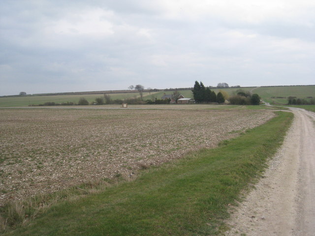
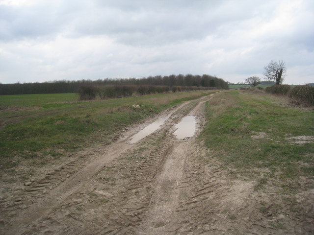
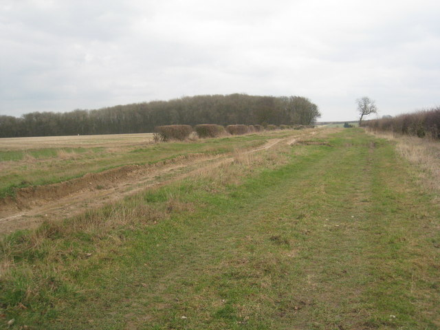
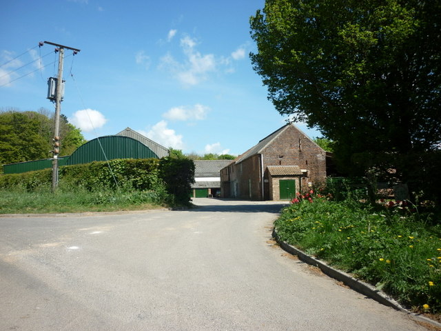
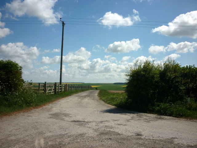
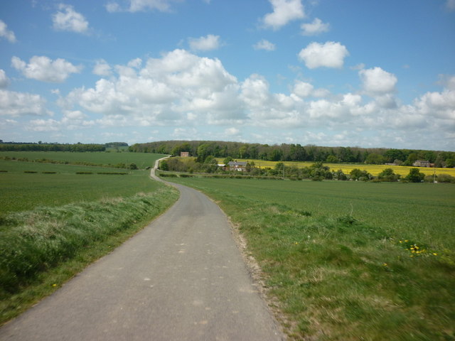
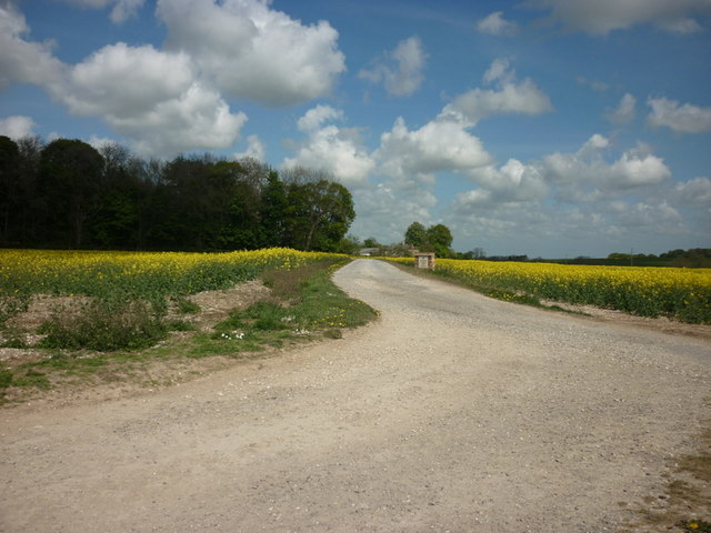
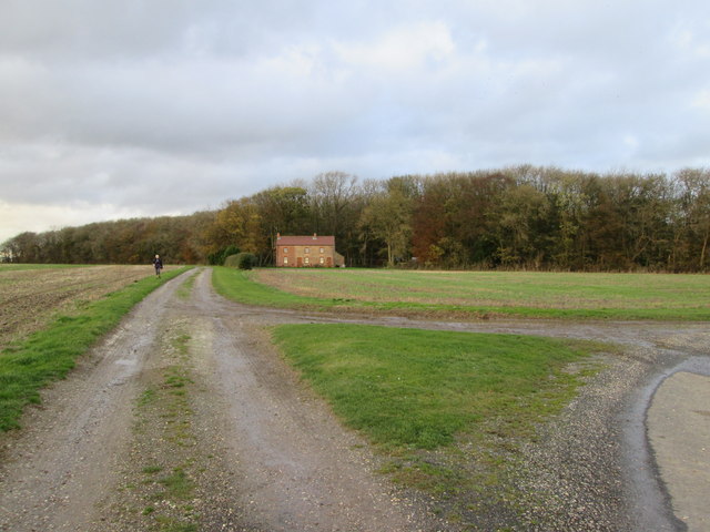
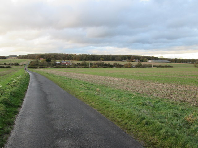
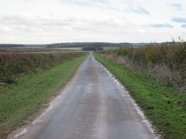
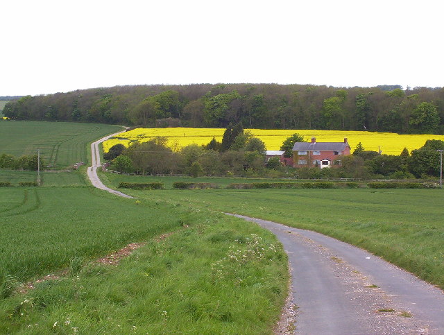
Enthorpe Cutting is a picturesque landscape located in Yorkshire, England. Nestled amidst the idyllic countryside, this area is characterized by its stunning views of the Downs and Moorland. Enthorpe Cutting is a popular destination for nature enthusiasts and those seeking tranquility away from the hustle and bustle of city life.

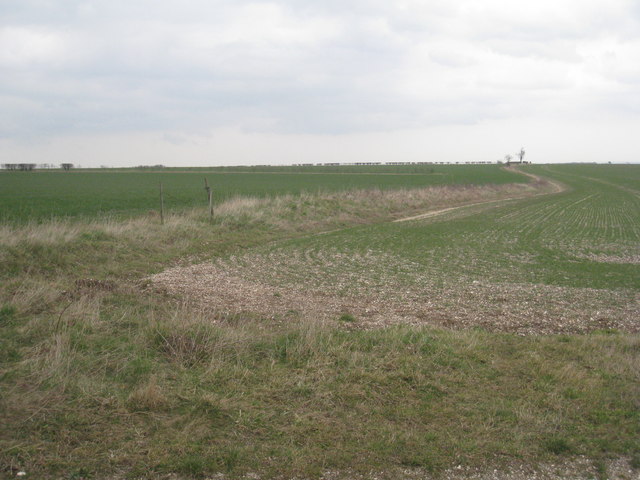
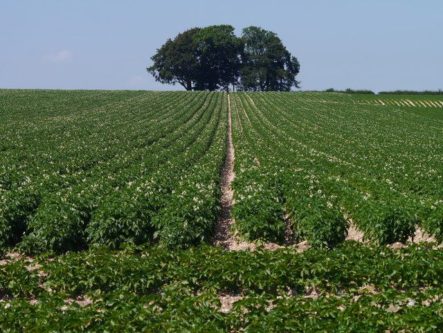
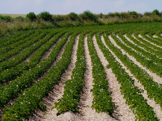
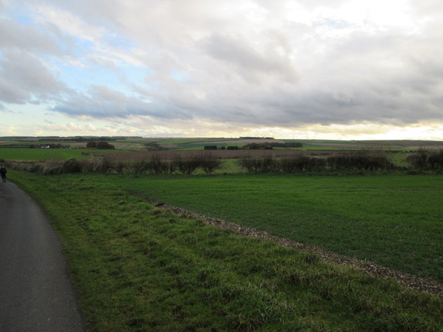
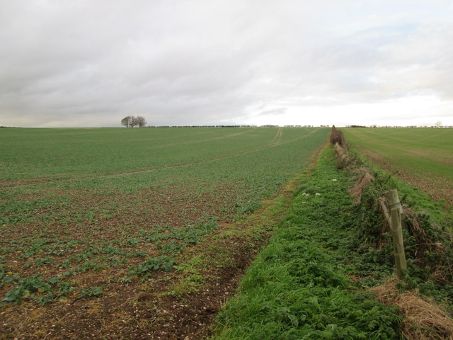
The area is renowned for its rolling hills, lush green pastures, and vibrant wildflowers that paint the landscape in a kaleidoscope of colors. The Downs, with their gentle slopes and panoramic vistas, provide a perfect setting for hiking and leisurely walks. Visitors can enjoy breathtaking views of the surrounding countryside, dotted with quaint villages and historic landmarks.

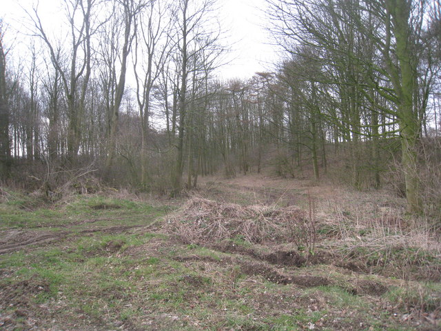
The Moorland in Enthorpe Cutting is a vast expanse of heather-covered hills and open grasslands. This unique ecosystem is home to a variety of wildlife, including rare bird species and indigenous plants. Walking through the Moorland, visitors can witness the natural beauty of the area and perhaps catch a glimpse of the elusive wildlife that calls it home.

Enthorpe Cutting also offers a rich historical heritage, with evidence of human settlement dating back centuries. The area is dotted with archaeological sites, ancient ruins, and historic landmarks, providing a glimpse into the region's past.

Overall, Enthorpe Cutting is a haven for nature lovers and history enthusiasts alike. Its combination of stunning landscapes, diverse wildlife, and rich history make it a must-visit destination for anyone seeking a tranquil and scenic retreat in Yorkshire.

If you have any feedback on the listing, please let us know in the comments section below.

Enthorpe Cutting Images

Images are sourced within 2km of 53.900339/-0.61767006 or Grid Reference SE9045. Thanks to Geograph Open Source API. All images are credited.

View towards Enthorpe Station Enthorpe station was on the former Market Weighton to Driffield line which opened in 1890 as the Scarborough, Bridlington and West Riding Junction Railway and which was finally closed by British Railways in 1965. Enthorpe station along with the other intermediate stations had already closed in 1954. I doubt if it was ever very busy except perhaps on Kiplingcotes Race Days.
View towards Enthorpe Station
Enthorpe station was on the former Market Weighton to Driffield line which opened in 1890 as the Scarborough, Bridlington and West Riding Junction Railway and which was finally closed by British Railways in 1965. Enthorpe station along with the other intermediate stations had already closed in 1954. I doubt if it was ever very busy except perhaps on Kiplingcotes Race Days.
View towards Enthorpe Wood Looking back along the Kipling Cotes race course.
View towards Enthorpe Wood
Looking back along the Kipling Cotes race course.
Track into Ashslack Wood At the point where the Kipling Cotes race course is at its most rutted and muddy.
Track into Ashslack Wood
At the point where the Kipling Cotes race course is at its most rutted and muddy.
The boundary between  the parishes of Middleton and Lund This slightly raised bank forms the boundary for some distance. Its slightly sinuous nature is in contrast to the rigid straight field boundaries of much of the Wolds.
The boundary between the parishes of Middleton and Lund
This slightly raised bank forms the boundary for some distance. Its slightly sinuous nature is in contrast to the rigid straight field boundaries of much of the Wolds.
The Kipling Cotes Race Course This photograph looks back over the course towards Enthorpe Wood. The rutted nature of the course can be seen. Not all the course is also blessed with a relatively unrutted wide grass verge as here.
The Kipling Cotes Race Course
This photograph looks back over the course towards Enthorpe Wood. The rutted nature of the course can be seen. Not all the course is also blessed with a relatively unrutted wide grass verge as here.
Goodmanham Grange farm buildings
The way to Allotment Farm from Cross Gate (road)
Looking along Kipling Cotes Race Course
The way to Enthorpe House Farm
Spuds below Money Hill
Spudded Furrows
Spudded Furrows
Track-bed of former Market Weighton - Driffield railway near Enthorpe, 1992 View SW, towards Market Weighton: ex-NER Selby - Market Weighton - Driffield line, closed 14/6/65. Enthorpe station, which had been behind the camera, closed to passengers 20/9/54, to goods 14/9/59.
Track-bed of former Market Weighton - Driffield railway near Enthorpe, 1992
View SW, towards Market Weighton: ex-NER Selby - Market Weighton - Driffield line, closed 14/6/65. Enthorpe station, which had been behind the camera, closed to passengers 20/9/54, to goods 14/9/59.
Kiplingcotes  Race  Course  going  left  of  Enthorpe  Wood The track going right is to Enthorpe House
Kiplingcotes Race Course going left of Enthorpe Wood
The track going right is to Enthorpe House
Lane  to  Enthorpe The line of trees are alongside the dismantled railway and Enthorpe Station
Lane to Enthorpe
The line of trees are alongside the dismantled railway and Enthorpe Station
No  hedge  on  the  roadside  large  open  fields A sweeping view of the Yorkshire Wolds
No hedge on the roadside large open fields
A sweeping view of the Yorkshire Wolds
Field  edge  toward  Money  Hill From the footpath to Kiplingcotes Farm
Field edge toward Money Hill
From the footpath to Kiplingcotes Farm
Lane  on  the  Yorkshire  Wolds Typical long straight and wide verges, this down Course Hill in the direction of Etton
Lane on the Yorkshire Wolds
Typical long straight and wide verges, this down Course Hill in the direction of Etton
Kiplingcotes Derby The leading horse in the 2016 Kiplingcotes Derby
Kiplingcotes Derby
The leading horse in the 2016 Kiplingcotes Derby
Show me another place!

Enthorpe Cutting is located at Grid Ref: SE9045 (Lat: 53.900339, Lng: -0.61767006)

Division: East Riding

Unitary Authority: East Riding of Yorkshire

Police Authority: Humberside

What 3 Words

///replied.landlords.squirts. Near Londesborough, East Yorkshire

Related Wikis

Enthorpe railway station

Enthorpe railway station was a station on the Selby to Driffield Line in the East Riding of Yorkshire, England. It opened on 1 May 1890 and closed on 20...

Kiplingcotes

Kiplingcotes is a hamlet in the East Riding of Yorkshire, England. It is situated approximately 3.5 miles (6 km) north-east of the market town of Market...

Middlethorpe, East Riding of Yorkshire

Middlethorpe is a hamlet in the East Riding of Yorkshire, England. It is situated approximately 2.5 miles (4 km) north-east of the market town of Market...
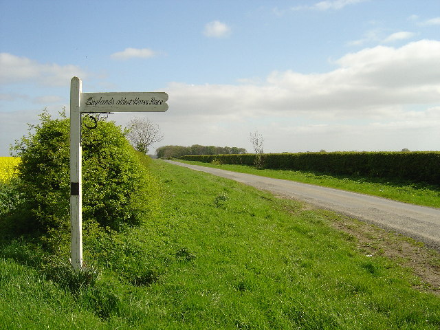
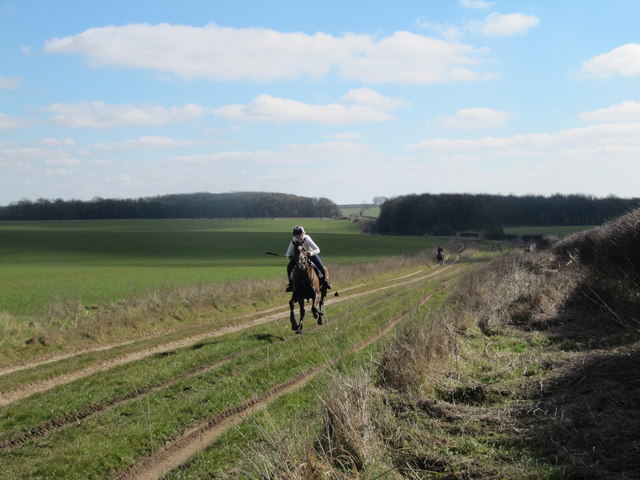
Kiplingcotes Derby

Kiplingcotes Derby (also spelt Kipling Cotes), run at Kiplingcotes in the East Riding of Yorkshire, is widely accepted to be the oldest annual horse race...

Have you been to Enthorpe Cutting?

Leave your review of Enthorpe Cutting below (or comments, questions and feedback).