Cave Ings Walling Fen Cave Common
Downs, Moorland in Yorkshire
England
Cave Ings Walling Fen Cave Common

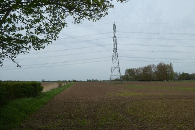
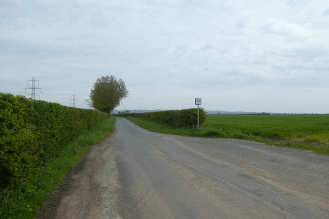
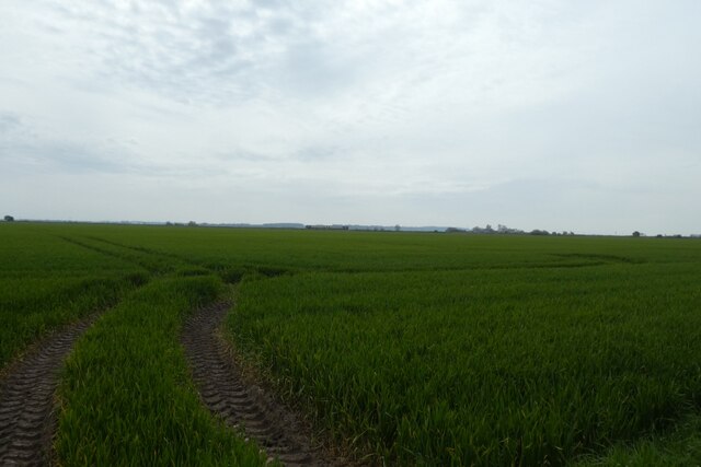
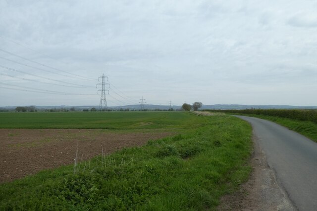
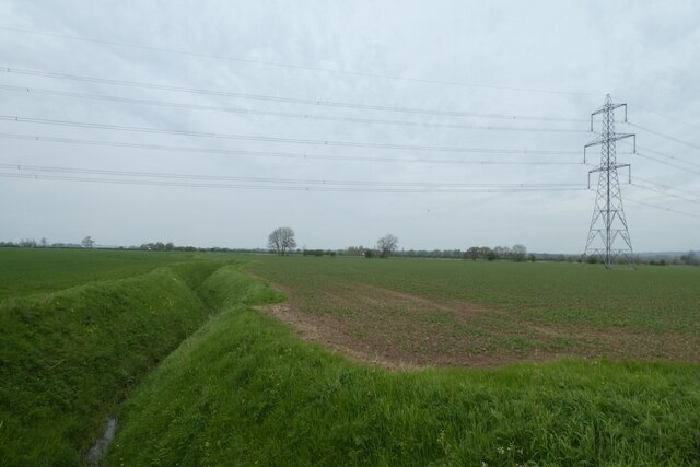
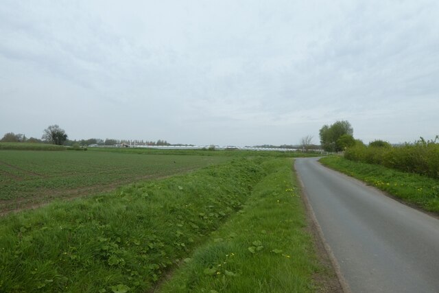
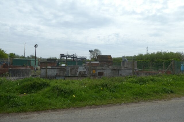
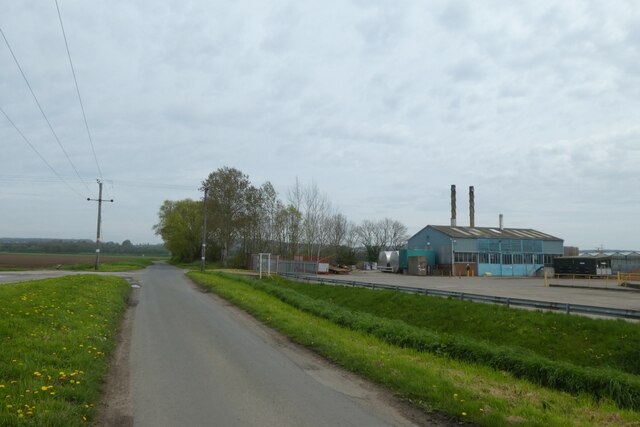
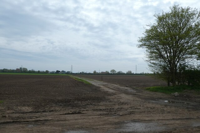
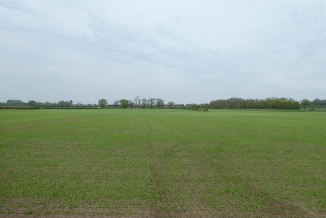
Cave Ings Walling Fen Cave Common is a picturesque natural area located in Yorkshire, England. Situated within the scenic Yorkshire Downs and Moorland region, it covers a vast expanse of land that offers a diverse range of natural features and wildlife.
The area is characterized by its unique geological formations, with numerous caves dotting the landscape. These caves have been formed over millions of years through the process of erosion, creating intricate underground networks that are of great interest to geologists and spelunkers alike.
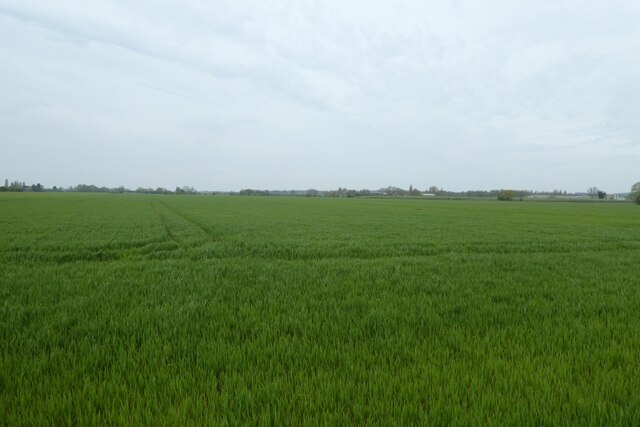
In addition to these caves, Cave Ings Walling Fen Cave Common boasts a rich variety of flora and fauna. The moorland and downs provide a perfect habitat for a wide range of plant species, including heather, gorse, and wildflowers. This attracts a multitude of wildlife, including birds such as curlews, lapwings, and red grouse.
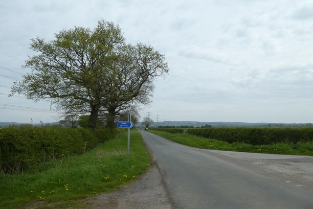
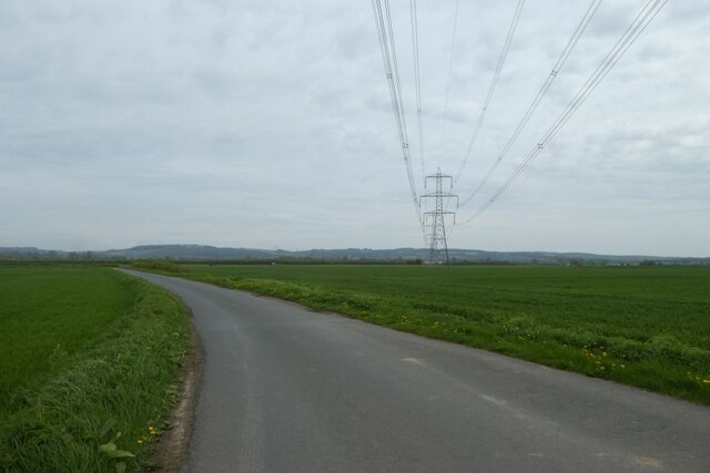
Visitors to the area can enjoy a number of recreational activities. Hiking and walking trails crisscross the landscape, offering stunning views of the surrounding countryside. The caves also provide opportunities for adventurous individuals to explore the underground world, although caution is advised due to the complex nature of the cave systems.
Cave Ings Walling Fen Cave Common is a true natural gem, offering a unique blend of geological wonders and biodiversity. It is a must-visit destination for nature enthusiasts and those seeking a tranquil escape amidst the stunning Yorkshire landscape.
If you have any feedback on the listing, please let us know in the comments section below.
Cave Ings Walling Fen Cave Common Images
Images are sourced within 2km of 53.749962/-0.63130123 or Grid Reference SE9029. Thanks to Geograph Open Source API. All images are credited.


Cave Ings Walling Fen Cave Common is located at Grid Ref: SE9029 (Lat: 53.749962, Lng: -0.63130123)
Division: East Riding
Unitary Authority: East Riding of Yorkshire
Police Authority: Humberside
What 3 Words
///derailed.causes.hype. Near Ellerker, East Yorkshire
Nearby Locations
Related Wikis
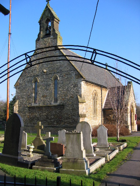
Ellerker
Ellerker is a village and civil parish in the East Riding of Yorkshire, England. It is situated approximately 10 miles (16 km) west of Hull city centre...

HM Prison Everthorpe
HM Prison Everthorpe was a Category C men's prison, located to the south-west of Everthorpe, (near Brough) in the East Riding of Yorkshire, England. The...

HM Prison Wolds
HM Prison Wolds was a Category C men's prison, located south-west of Everthorpe, (near Brough) in the East Riding of Yorkshire, England. The prison was...
HM Prison Humber
HM Prison Humber is a Category C men's prison, located south-west of Everthorpe, (near Brough) in the East Riding of Yorkshire, England. The prison is...
Nearby Amenities
Located within 500m of 53.749962,-0.63130123Have you been to Cave Ings Walling Fen Cave Common?
Leave your review of Cave Ings Walling Fen Cave Common below (or comments, questions and feedback).