Cave Sands
Downs, Moorland in Yorkshire
England
Cave Sands
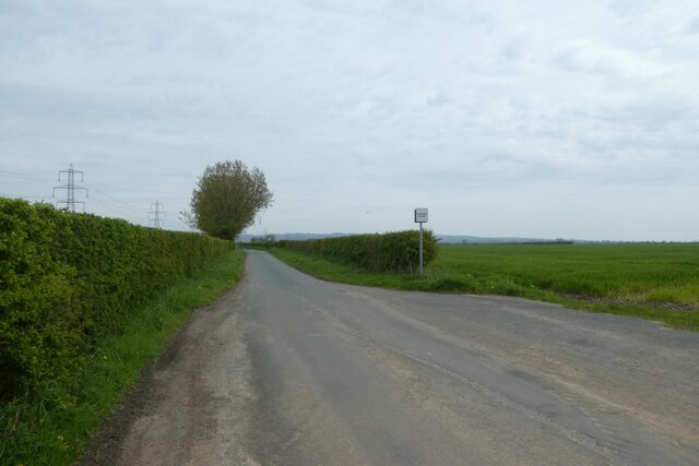
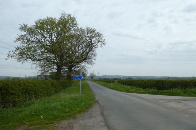
Cave Sands is a picturesque location situated in the region of Yorkshire, England. It is nestled amidst the captivating landscape of the Yorkshire Downs and Moorland. The area is renowned for its natural beauty and is a popular destination for nature enthusiasts and hikers.
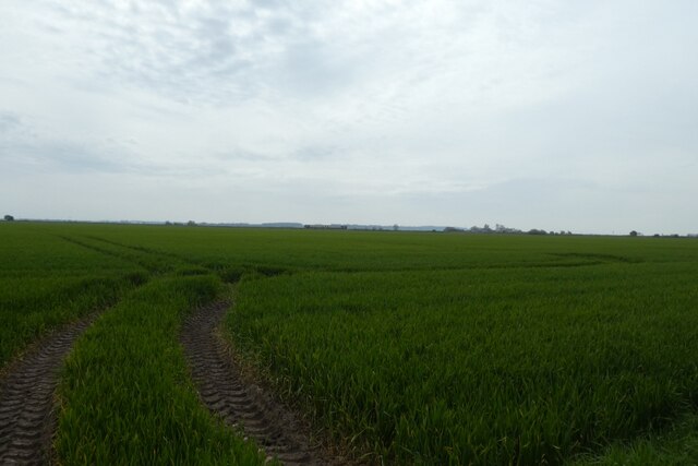
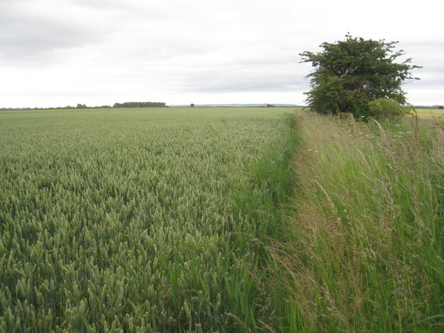
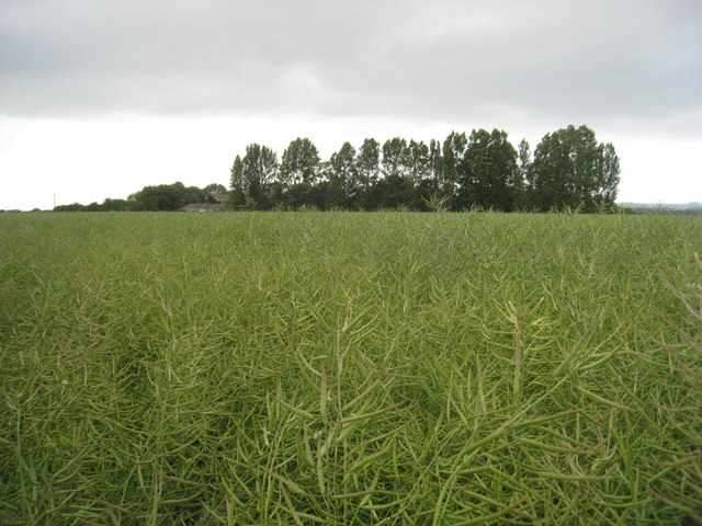
Cave Sands is characterized by its vast stretches of sandy terrain, which give it a unique and distinct appeal. The sands are soft and golden, creating a serene and tranquil atmosphere. The area is dotted with fascinating caves, adding an element of mystery to the surroundings.
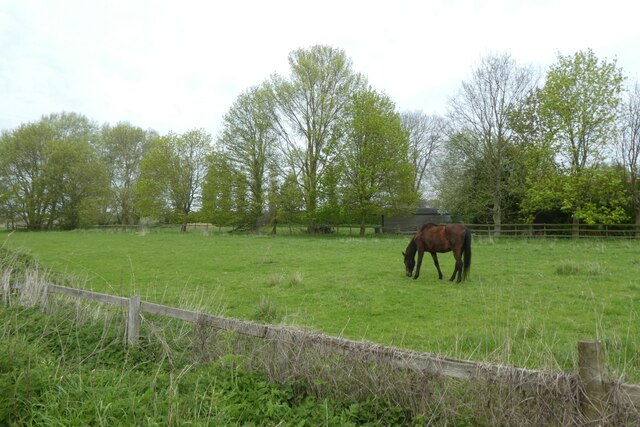
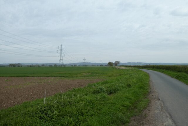
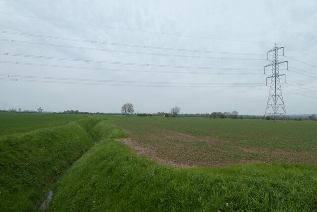
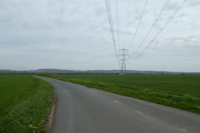
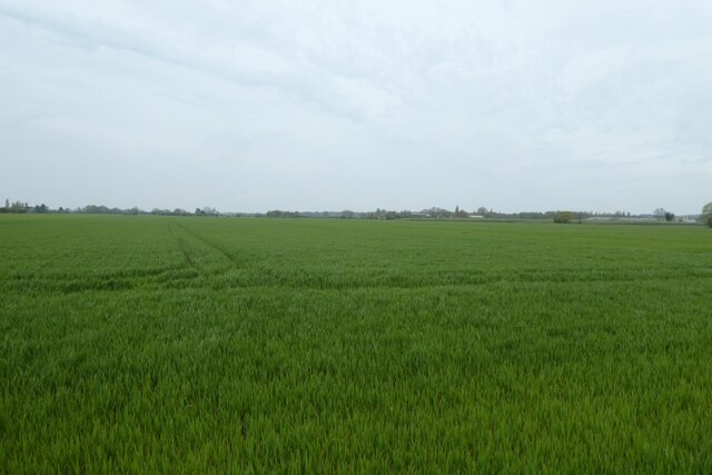
The Yorkshire Downs and Moorland surrounding Cave Sands offer breathtaking panoramic views. Rolling hills covered in lush greenery, interspersed with colorful wildflowers, create a picturesque backdrop. The area is also home to a diverse range of wildlife, including grazing sheep and birds of prey.
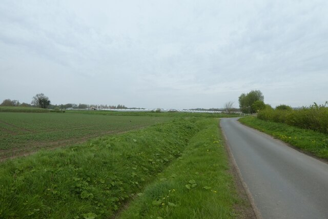
Visitors to Cave Sands can indulge in a range of outdoor activities. The sandy terrain is perfect for leisurely walks and picnics. Hiking enthusiasts will find numerous trails that wind through the moorland, offering an opportunity to explore the area's natural wonders. The caves in the vicinity provide a sense of adventure and intrigue, attracting spelunkers and explorers.
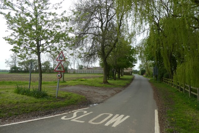
Cave Sands is easily accessible, with nearby parking facilities and amenities. The area is well-maintained, ensuring a pleasant and comfortable experience for visitors. Whether one seeks solitude and tranquility or an exhilarating adventure, Cave Sands in Yorkshire offers a truly captivating experience for all nature lovers.
If you have any feedback on the listing, please let us know in the comments section below.
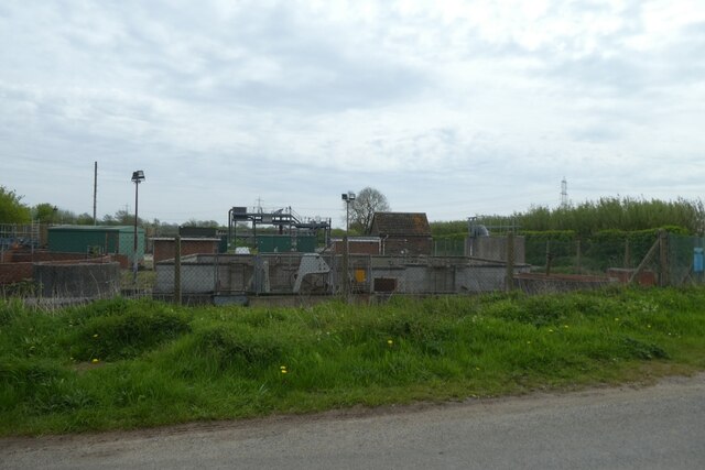
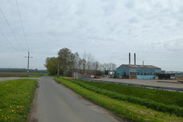
Cave Sands Images
Images are sourced within 2km of 53.737672/-0.63188248 or Grid Reference SE9027. Thanks to Geograph Open Source API. All images are credited.


Cave Sands is located at Grid Ref: SE9027 (Lat: 53.737672, Lng: -0.63188248)
Division: East Riding
Unitary Authority: East Riding of Yorkshire
Police Authority: Humberside
What 3 Words
///messed.formation.shell. Near Broomfleet, East Yorkshire
Nearby Locations
Related Wikis

Broomfleet
Broomfleet is a village and civil parish in the East Riding of Yorkshire, England. It is situated on the Humber Estuary approximately 4 miles (6 km) west...
Ellerker
Ellerker is a village and civil parish in the East Riding of Yorkshire, England. It is situated approximately 10 miles (16 km) west of Hull city centre...

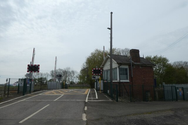
Broomfleet railway station
Broomfleet railway station serves the village of Broomfleet in the East Riding of Yorkshire, England. The station is on the Selby Line 14+1⁄2 miles (23...

Brantingham Roman villa
Brantingham Roman villa is a Roman villa, now a scheduled monument, near Brantingham, East Riding of Yorkshire, England. == Villa == The villa would have...
Nearby Amenities
Located within 500m of 53.737672,-0.63188248Have you been to Cave Sands?
Leave your review of Cave Sands below (or comments, questions and feedback).