West Field

Downs, Moorland in Yorkshire Ryedale

England

West Field

A64 west towards West Heslerton
A64 west towards West Heslerton Credit: Ian S

West Field is a picturesque region located in the county of Yorkshire, England. Nestled amidst the stunning landscape of the Yorkshire Downs and Moorland, it offers visitors a unique blend of natural beauty and rural charm.

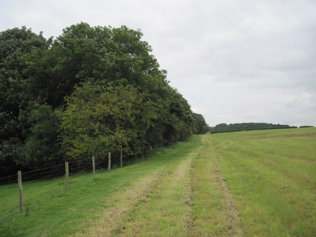
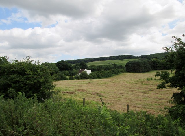
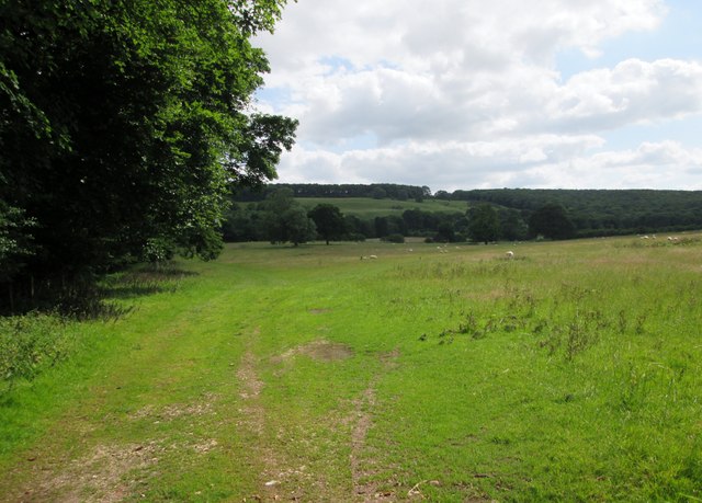
The area is renowned for its rolling hills, vast open spaces, and panoramic views, making it a haven for nature enthusiasts and hikers. The Yorkshire Downs, with their undulating slopes and lush greenery, provide a refreshing escape from the hustle and bustle of city life. The Moorland, on the other hand, offers a more rugged and wild terrain, dotted with heather-covered moors and scattered with ancient stone formations.

West Field is home to a diverse range of flora and fauna, including rare species such as the golden plover and curlew. The landscape is interspersed with quaint villages and hamlets, where visitors can experience the warm hospitality of the local community and indulge in traditional Yorkshire cuisine.

The region also boasts a rich cultural heritage, with numerous historical sites and landmarks. These include ancient burial mounds, Roman roads, and medieval castles, all of which provide a fascinating glimpse into the area's past.

Whether it's exploring the picturesque countryside, embarking on a challenging hike, or immersing oneself in the local history, West Field offers an idyllic setting for those seeking tranquility and natural beauty.

If you have any feedback on the listing, please let us know in the comments section below.
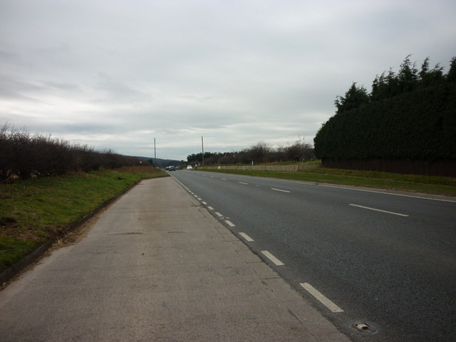
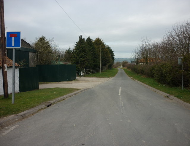
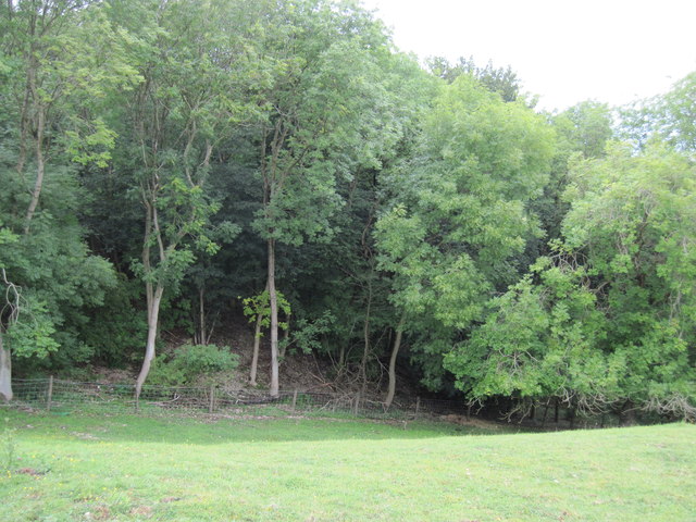
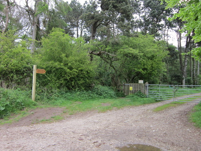
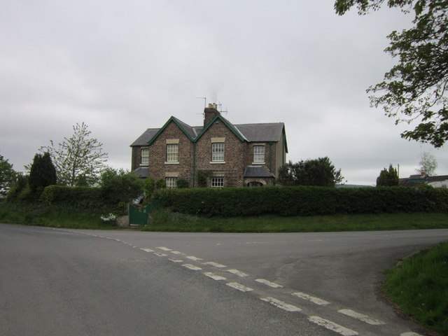
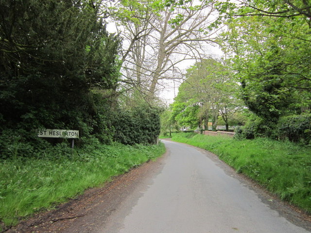
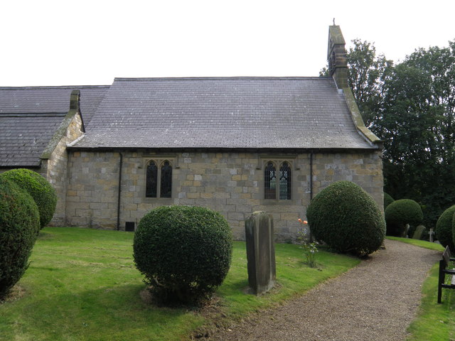
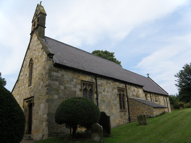
West Field Images

Images are sourced within 2km of 54.175225/-0.61710002 or Grid Reference SE9076. Thanks to Geograph Open Source API. All images are credited.

A64 west towards West Heslerton
North along East Heslerton Lane
Sand Lane, West Heslerton
Station Road, north of West Heslerton
Carr House Farm on Station Road
Centenary  Way  past  Abbey  Plantation An excellent walk along the northern edge of the Yorkshire Wolds, to the left are sweeping views of the Vale of Pickering.
Centenary Way past Abbey Plantation
An excellent walk along the northern edge of the Yorkshire Wolds, to the left are sweeping views of the Vale of Pickering.
Eastern  End  of  Knapton  Plantation From the footpath which runs along the southern edge of the plantation.
Eastern End of Knapton Plantation
From the footpath which runs along the southern edge of the plantation.
The Wolds Way off Lutton Road
Houses on White Gate, West Heslerton
White Gate, West Heslerton
Heslerton  Station.   Closed  for  82  years The York to Scarborough line. Built by the York & North Midland Railway Company. This station opened 8 July 1845. The station house on the right was built as single storey but was altered in 1870. Closure on 22 September 1930.
Heslerton Station. Closed for 82 years
The York to Scarborough line. Built by the York & North Midland Railway Company. This station opened 8 July 1845. The station house on the right was built as single storey but was altered in 1870. Closure on 22 September 1930.
All  Saints  West  Heslerton Parts are 13th & 14th century but the church was largely rebuilt during the restoration of 1886-8 by C. Hodgson Fowler.
All Saints West Heslerton
Parts are 13th & 14th century but the church was largely rebuilt during the restoration of 1886-8 by C. Hodgson Fowler.
A  church  on  a  hillside.  All  Saints  West  Heslerton The slope down from the Yorkshire Wolds into the Vale of Pickering has not reached level ground as it enters the village
A church on a hillside. All Saints West Heslerton
The slope down from the Yorkshire Wolds into the Vale of Pickering has not reached level ground as it enters the village
Heslerton railway station (site), Yorkshire Opened in 1845 by the York & North Midland Railway on its line from Scarborough to York, the station closed to passengers in 1930. View north. The Malton-Scarborough railway line is just behind the building.
Heslerton railway station (site), Yorkshire
Opened in 1845 by the York & North Midland Railway on its line from Scarborough to York, the station closed to passengers in 1930. View north. The Malton-Scarborough railway line is just behind the building.
A wolds way view.
A wolds way view.
Over  field  to  White  Cottage From footpath alongside A64
Over field to White Cottage
From footpath alongside A64
Field  and  edge  of  woodland  Heslerton  Park
Field and edge of woodland Heslerton Park
Farmland at Knapton Carr
Show me another place!

West Field is located at Grid Ref: SE9076 (Lat: 54.175225, Lng: -0.61710002)

Division: East Riding

Administrative County: North Yorkshire

District: Ryedale

Police Authority: North Yorkshire

What 3 Words

///outlast.wiggly.postings. Near Rillington, North Yorkshire

Nearby Locations

West Field

Related Wikis

West Heslerton

West Heslerton is a village and former civil parish, now in the parish of Heslerton, in North Yorkshire, England, 6 miles (10 km) southeast of Pickering...

Heslerton railway station

Heslerton railway station was a minor railway station serving the villages of East Heslerton and West Heslerton in North Yorkshire, England. Located on...

East Knapton

East Knapton is a village in the civil parish of Scampston, in North Yorkshire, England. Until 1974 the village lay in the historic county boundaries of...

East Heslerton

East Heslerton is a village in the civil parish of Heslerton, near Malton, in North Yorkshire, England. It lies between the villages of West Heslerton...

Related Videos

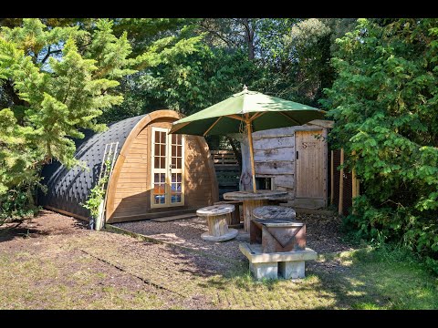
Lahtle Wood off-grid glamping site in North Yorkshire

Lahtle Wood is a spacious and peaceful glamping site between Malton and Scarborough coast in beautiful North Yorkshire ...

American Idiot - Green Day (Slowed + Reverbed)

lol I haven't posted in a while so let me just tell you why: I graduated. Yay THIS SONG IS NOT MINE.

Nearby Amenities

Located within 500m of 54.175225,-0.61710002
The data included in this document is from www.openstreetmap.org. The data is made available under ODbL.

Have you been to West Field?

Leave your review of West Field below (or comments, questions and feedback).