Abbey Lands

Downs, Moorland in Yorkshire Ryedale

England

Abbey Lands

River  Derwent  east  from  Foul  Bridge The drainage of the Vale of Pickering is done mainly through this river, many sections have been straightened to increase the flow. it was not navigable to here only to Yedingham the next village and bridge west of this point.
River Derwent east from Foul Bridge Credit: Martin Dawes

Abbey Lands, located in Yorkshire, is a picturesque region encompassing a diverse landscape of downs and moorland. Situated in the northern part of England, this area is renowned for its natural beauty and rich history.

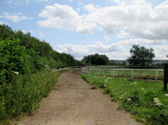
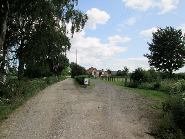
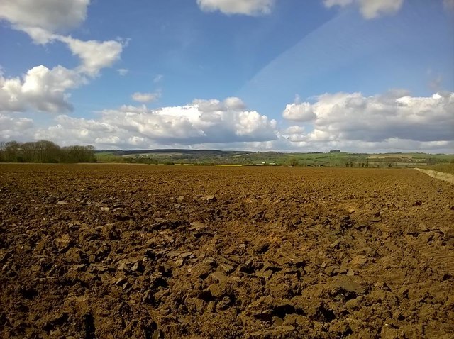
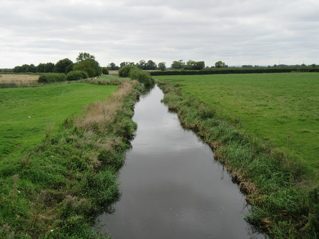
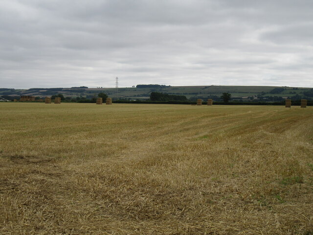
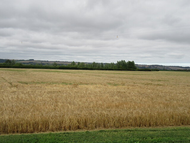
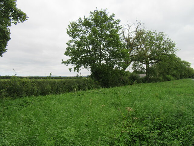
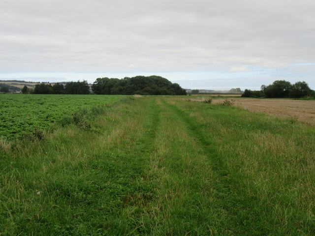
The downs of Abbey Lands offer vast expanses of rolling hills and grasslands, providing breathtaking panoramic views of the surrounding countryside. These areas are often used for grazing livestock and are an integral part of the region's agricultural heritage. The downs also feature ancient burial mounds and historical sites, showcasing the area's long-standing human presence.

The moorland in Abbey Lands, on the other hand, is characterized by its wild and rugged terrain. Covered in heather and other hardy vegetation, the moors create a striking contrast against the green hills. This unique ecosystem is home to various species of birds, including grouse and peregrine falcons, making it a popular destination for birdwatchers and nature enthusiasts.

Aside from its natural wonders, Abbey Lands also boasts several historic landmarks. The region is dotted with ancient abbeys and monastic ruins, providing a glimpse into its religious past. Visitors can explore the remains of these architectural marvels and learn about the lives of the monks who once inhabited them.

Abbey Lands, Yorkshire, offers a captivating blend of stunning landscapes, wildlife, and historical sites. Whether one seeks a peaceful retreat in nature or a journey through history, this region is sure to leave a lasting impression on all who visit.

If you have any feedback on the listing, please let us know in the comments section below.
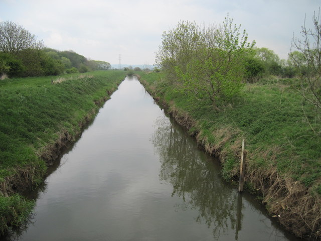
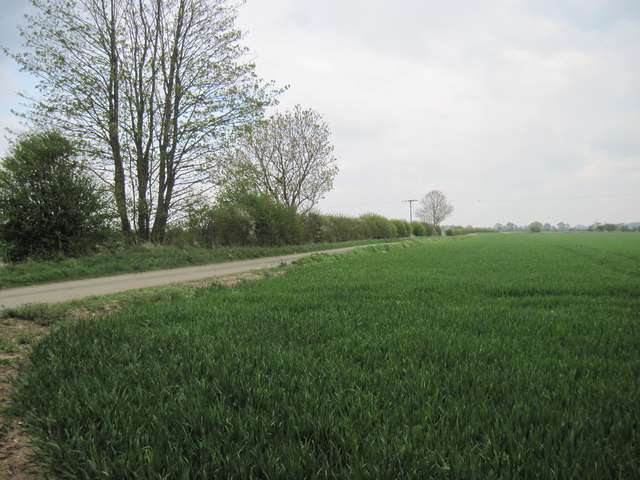
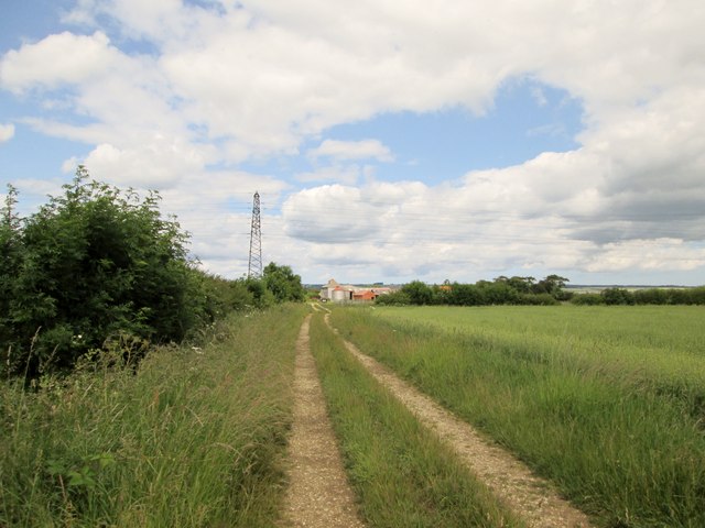
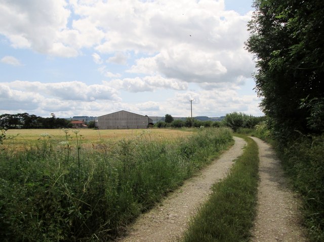
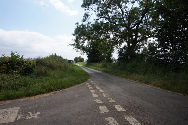
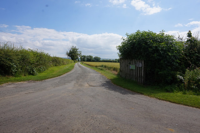
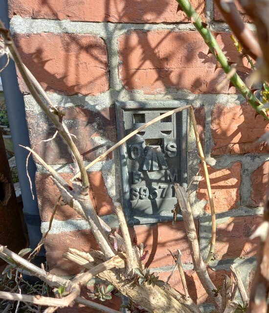
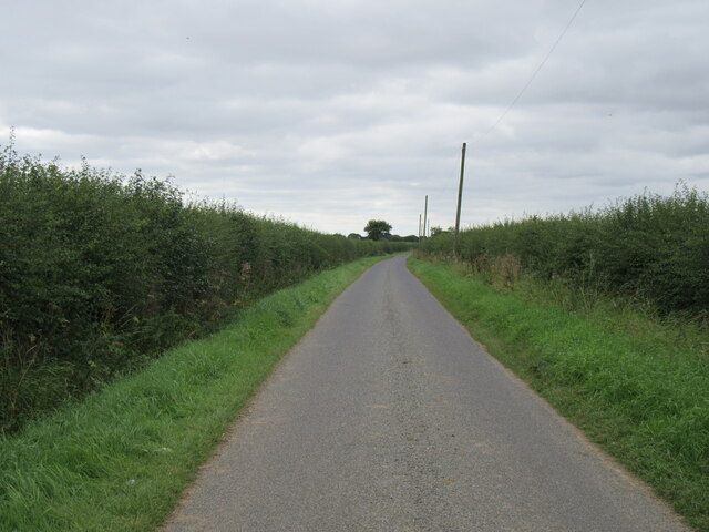
Abbey Lands Images

Images are sourced within 2km of 54.209616/-0.62196243 or Grid Reference SE8980. Thanks to Geograph Open Source API. All images are credited.

River  Derwent  east  from  Foul  Bridge The drainage of the Vale of Pickering is done mainly through this river, many sections have been straightened to increase the flow. it was not navigable to here only to Yedingham the next village and bridge west of this point.
River Derwent east from Foul Bridge
The drainage of the Vale of Pickering is done mainly through this river, many sections have been straightened to increase the flow. it was not navigable to here only to Yedingham the next village and bridge west of this point.
Track  and  Bridleway  to  Middle  Lane From Foulbridge Farm east to Snainton Ings House
Track and Bridleway to Middle Lane
From Foulbridge Farm east to Snainton Ings House
Field  track  and  footpath  to  Yedingham  Grange  Farm At the end of the Ice Age this was Lake Pickering, this carr land is now very productive, providing all the drainage works.
Field track and footpath to Yedingham Grange Farm
At the end of the Ice Age this was Lake Pickering, this carr land is now very productive, providing all the drainage works.
Access  road  to  Yedingham  Grange  Farm
Access road to Yedingham Grange Farm
End  of  the  gallops  at  Lilac  Farm This is still shown on the O/S map as the line of the footpath to Yedingham Grange Farm, but for years you have had to go along the track round the trees to my left.
End of the gallops at Lilac Farm
This is still shown on the O/S map as the line of the footpath to Yedingham Grange Farm, but for years you have had to go along the track round the trees to my left.
Access  road  to  Lilac  Farm It then continues to Yedingham Cottage Farm and Yedingham Grange Farm
Access road to Lilac Farm
It then continues to Yedingham Cottage Farm and Yedingham Grange Farm
Farm  traffic  left  on  the approach  to  Lilac  Farm
Farm traffic left on the approach to Lilac Farm
Abbey Lane view View from Abbey Lane.
Abbey Lane view
View from Abbey Lane.
Abbey Lane This lane is now a dead-end, but it would have once gone to Yedingham.
Abbey Lane
This lane is now a dead-end, but it would have once gone to Yedingham.
Foulbridge Lane from Cross Lane, Snainton
Entrance to Woodlands Farm
Snainton, Ings Lane, Low Farm The OS Flush Bracket S9571 is embedded into the west facing wall of the farmhouse.
Snainton, Ings Lane, Low Farm
The OS Flush Bracket S9571 is embedded into the west facing wall of the farmhouse.
Marishes Lane Looking west near Marishes Lodge Farm.
Marishes Lane
Looking west near Marishes Lodge Farm.
River Derwent Looking west from Yedingham Bridge.
River Derwent
Looking west from Yedingham Bridge.
Near Highthorn Looking SE from Kirby Lane.
Near Highthorn
Looking SE from Kirby Lane.
Yedingham Ings Looking north from Kirby Lane.
Yedingham Ings
Looking north from Kirby Lane.
Hedgerow alongside Station Road Near Yedingham.
Hedgerow alongside Station Road
Near Yedingham.
Abbey Lane Now shown as a track on the OS Explorer map, although not as an official right of way. The route goes across this bridge and joins Foulbridge Lane.

<a title="https://www.geograph.org.uk/photo/415976" href="https://www.geograph.org.uk/photo/415976">Link</a>
Abbey Lane
Now shown as a track on the OS Explorer map, although not as an official right of way. The route goes across this bridge and joins Foulbridge Lane. Link
Show me another place!

Abbey Lands is located at Grid Ref: SE8980 (Lat: 54.209616, Lng: -0.62196243)

Division: North Riding

Administrative County: North Yorkshire

District: Ryedale

Police Authority: North Yorkshire

What 3 Words

///fetching.rejected.spruced. Near Thornton Dale, North Yorkshire

Nearby Locations

Abbey Lands

Related Wikis

Yedingham Priory

Yedingham Priory was a Benedictine priory in North Yorkshire, England dedicated to the Blessed Virgin Mary. It was home to Benedictine nuns from 1163...

Yedingham

Yedingham is a village and former civil parish, now in the parish of Ebberston and Yedingham, halfway between West Knapton and Allerston, nine miles north...

Foulbridge Preceptory

Foulbridge Preceptory was a preceptory of the Knights Templar at Foulbridge near Snainton in North Yorkshire, England of which there is little information...

Snainton Preceptory

Snainton Preceptory (also known as Foulbridge Priory) was a priory, just south of the village of Snainton, in North Yorkshire, England. The preceptory...

Foulbridge

Foulbridge (Fuchebruge, 12th century; Fulkebridge, 12th, 16th century; Feukebrigg, 13th-14th centuries; Foukebrigg, 14th century; Fowbridge, 14th-16th...

Ebberston

Ebberston is a village and former civil parish, now in the parish of Ebberston and Yedingham in North Yorkshire, England, and is 34 miles (55 km) east...

Snainton railway station

Snainton railway station was situated on the North Eastern Railway's Pickering to Seamer branch line. It served the village of Snainton, North Yorkshire...

Heslerton railway station

Heslerton railway station was a minor railway station serving the villages of East Heslerton and West Heslerton in North Yorkshire, England. Located on...

Nearby Amenities

Located within 500m of 54.209616,-0.62196243
The data included in this document is from www.openstreetmap.org. The data is made available under ODbL.

Have you been to Abbey Lands?

Leave your review of Abbey Lands below (or comments, questions and feedback).