Burdale Warren

Downs, Moorland in Yorkshire Ryedale

England

Burdale Warren

Path  on  dismantled  Malton  to  Driffield  railway  line
Path on dismantled Malton to Driffield railway line Credit: Martin Dawes

Burdale Warren is a picturesque region located in Yorkshire, England. Situated amidst the stunning landscapes of the Yorkshire Downs and Moorland, this area is renowned for its natural beauty and unique charm.

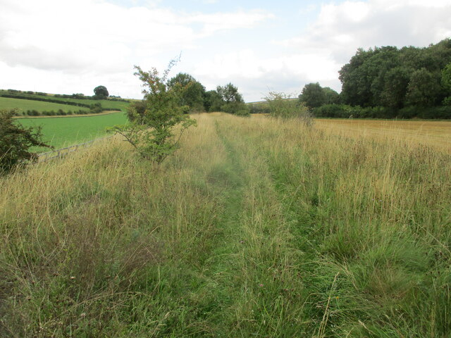
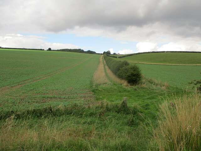
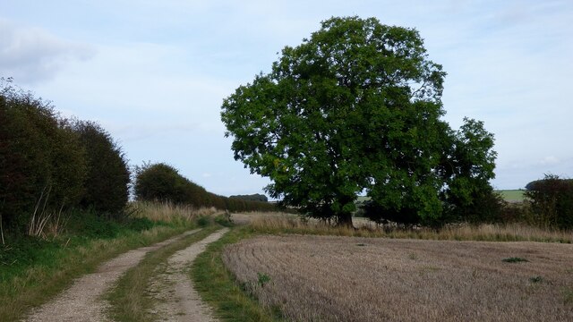
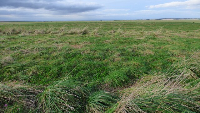
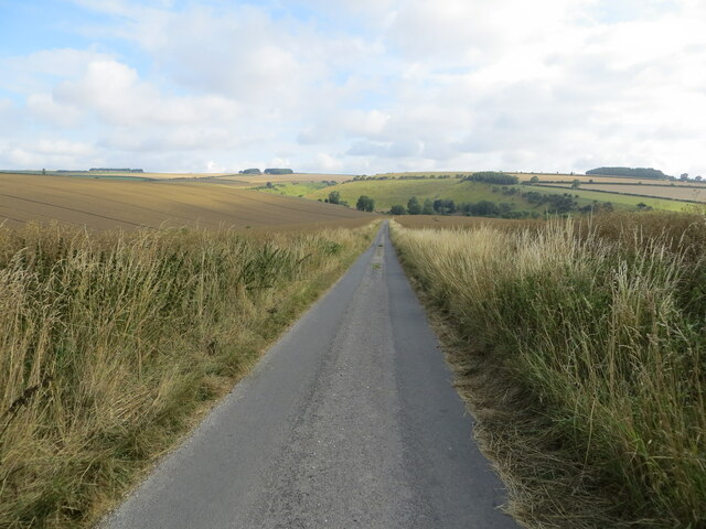
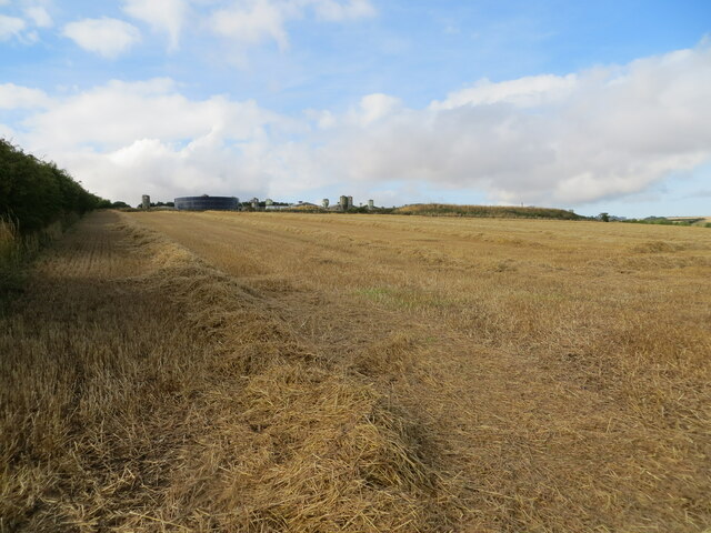
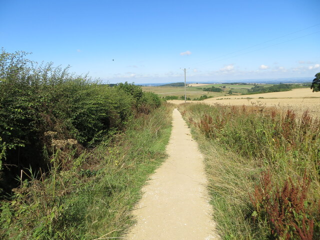
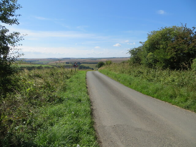
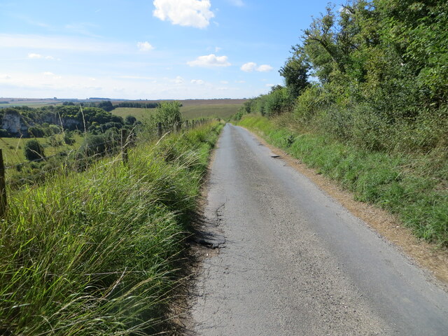
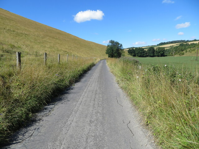
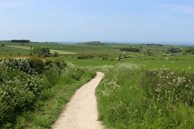
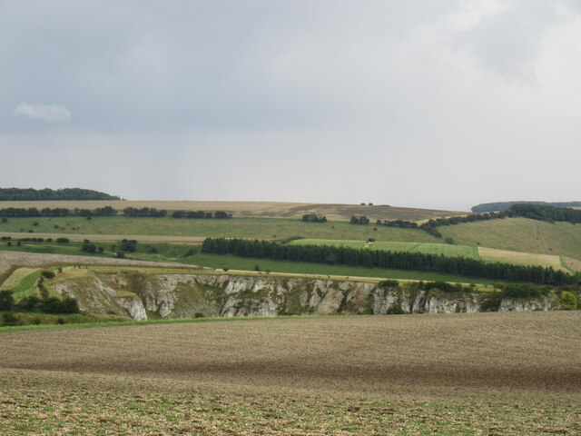
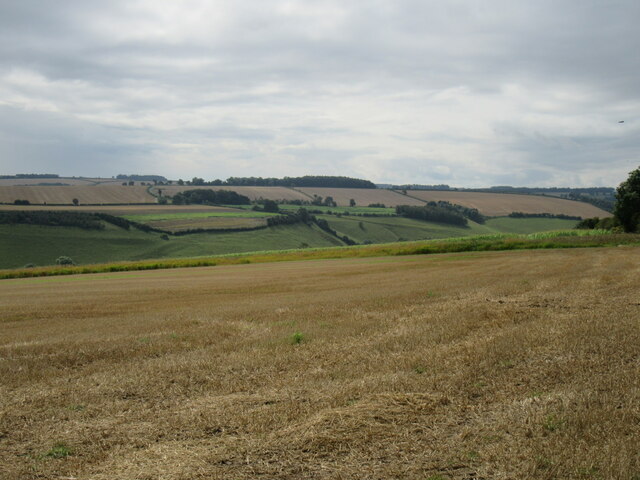
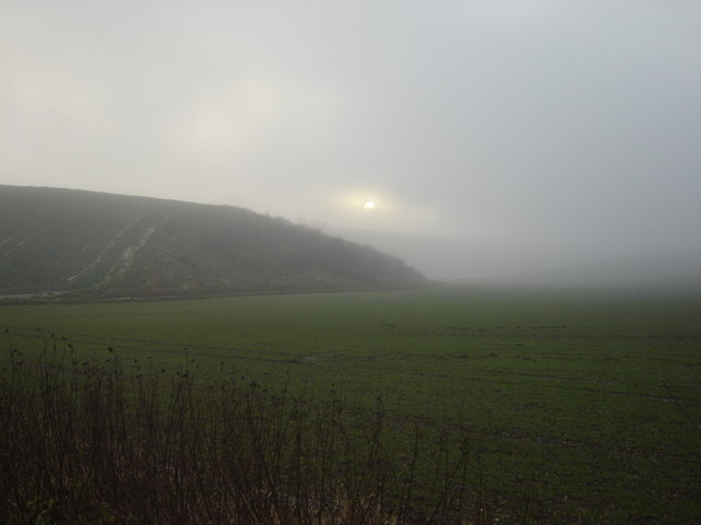
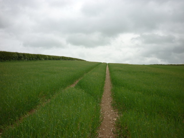
The Downs of Burdale Warren are characterized by rolling hills and vast open spaces, providing breathtaking panoramic views of the surrounding countryside. The lush green fields are dotted with grazing livestock, adding to the idyllic rural atmosphere. The area is also home to a diverse range of wildlife, including various bird species and small mammals, making it a haven for nature lovers and avid birdwatchers.

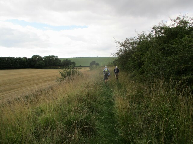
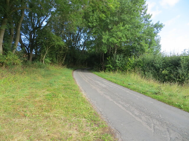
Adjacent to the Downs, the Moorland of Burdale Warren offers a contrasting landscape. Here, visitors can explore the rugged beauty of heather-covered moors and rocky outcrops. The moorland is crisscrossed by walking trails that allow visitors to immerse themselves in the tranquility of the surroundings, while also taking in the stunning vistas.

Aside from its natural beauty, Burdale Warren is also steeped in history. The region boasts ancient archaeological sites, such as burial mounds and stone circles, which provide insight into its rich past. Visitors can delve into the area's history by exploring these sites and learning about the people who once inhabited the land.

Overall, Burdale Warren is a captivating destination that offers a harmonious blend of natural beauty, wildlife, and historical significance. Whether one seeks to hike through the Downs, roam the moorland, or delve into the area's past, Burdale Warren presents a truly enchanting experience for all who visit.

If you have any feedback on the listing, please let us know in the comments section below.

Burdale Warren Images

Images are sourced within 2km of 54.054689/-0.65972525 or Grid Reference SE8762. Thanks to Geograph Open Source API. All images are credited.

Path  on  dismantled  Malton  to  Driffield  railway  line
Path on dismantled Malton to Driffield railway line
Root  crop  in  fields  on  wold  side From dismantled railway line toward Ling Farm in the shelter belt trees left of centre. Crop used for sheep fodder over winter
Root crop in fields on wold side
From dismantled railway line toward Ling Farm in the shelter belt trees left of centre. Crop used for sheep fodder over winter
Walking  dismantled  railway  line The footpath goes left back to the road at the end of stubble field, alongside the hedge
Walking dismantled railway line
The footpath goes left back to the road at the end of stubble field, alongside the hedge
Bridleway and tree north of William Dale
Tumulus north of William Dale A slight rise in the ground level denotes the position of this severely eroded prehistoric round barrow.
Tumulus north of William Dale
A slight rise in the ground level denotes the position of this severely eroded prehistoric round barrow.
Minor road between Fridaythorpe and Burdale Looking north-westward from East Yorkshire into North Yorkshire. The boundary is just behind the photographer.
Minor road between Fridaythorpe and Burdale
Looking north-westward from East Yorkshire into North Yorkshire. The boundary is just behind the photographer.
Harvested cereal crop field leaving straw to be baled Looking south-westward towards Fridaythorpe Farm.
Harvested cereal crop field leaving straw to be baled
Looking south-westward towards Fridaythorpe Farm.
Minor road between Fimber and Burdale Looking north-westward.
Minor road between Fimber and Burdale
Looking north-westward.
Footpath giving access to the site of the Medieval Village of Wharram Percy Looking north-westward. The path is also used by the Centenary Way Long Distance Path
Footpath giving access to the site of the Medieval Village of Wharram Percy
Looking north-westward. The path is also used by the Centenary Way Long Distance Path
Minor road descending towards Burdale House Looking south-eastward. This section of the road is used by the Chalklands Way Long Distance Path.
Minor road descending towards Burdale House
Looking south-eastward. This section of the road is used by the Chalklands Way Long Distance Path.
Minor road descending towards Burdale House The lend to the left drops dramatically into Fairy Dale. At this point the road forms part of the Chalklands Way Long Distance Path.
Minor road descending towards Burdale House
The lend to the left drops dramatically into Fairy Dale. At this point the road forms part of the Chalklands Way Long Distance Path.
Minor dale bottom road near to Burdale House Farm Looking wastward.
Minor dale bottom road near to Burdale House Farm
Looking wastward.
Footpath leading to Wharram Percy Just under a mile, it leads down over chalk scenery to the deserted medieval village of Wharram Percy
Footpath leading to Wharram Percy
Just under a mile, it leads down over chalk scenery to the deserted medieval village of Wharram Percy
Kirk Hill Looking SE towards Burdale Quarry.
Kirk Hill
Looking SE towards Burdale Quarry.
Raisthorpe Wold Looking SW.
Raisthorpe Wold
Looking SW.
Winter  Sun  trying  to  get  through. From Burdale Spring to Fimber this is the only flat field on the righthand side of the road, the hill on the left has a lane going over it to Fridaythorpe.
Winter Sun trying to get through.
From Burdale Spring to Fimber this is the only flat field on the righthand side of the road, the hill on the left has a lane going over it to Fridaythorpe.
Walking towards Towthorpe Plantation
A dumping ground for yesterdays papers It looks like someone is dumping unsold papers here for quite a while.
A dumping ground for yesterdays papers
It looks like someone is dumping unsold papers here for quite a while.
Show me another place!

Burdale Warren is located at Grid Ref: SE8762 (Lat: 54.054689, Lng: -0.65972525)

Division: East Riding

Administrative County: North Yorkshire

District: Ryedale

Police Authority: North Yorkshire

What 3 Words

///delight.shall.cured. Near Fimber, East Yorkshire

Related Wikis

Burdale, North Yorkshire

Burdale is a hamlet in North Yorkshire, England, 8 miles (13 km) south-east of Malton. It lies in a deep valley (or dale), also known as Burdale, in the...

Burdale railway station

Burdale railway station was a station on the Malton and Driffield Junction Railway in North Yorkshire, England. == History and description == Burdale...

Wharram

Wharram is a civil parish in North Yorkshire, England. It lies on the Yorkshire Wolds, 6 miles (10 km) south-east of Malton. The principal settlement is...

Towthorpe, East Riding of Yorkshire

Towthorpe is a hamlet and former civil parish, now in the parish of Fimber, in the East Riding of Yorkshire, England. It is situated in the Yorkshire...

Have you been to Burdale Warren?

Leave your review of Burdale Warren below (or comments, questions and feedback).