Barrow Flat
Downs, Moorland in Yorkshire
England
Barrow Flat
Barrow Flat is a picturesque region nestled in the heart of Yorkshire, encompassing the expansive Downs and Moorland landscapes. Located in the northern part of England, this area is renowned for its breathtaking natural beauty and rich cultural heritage.
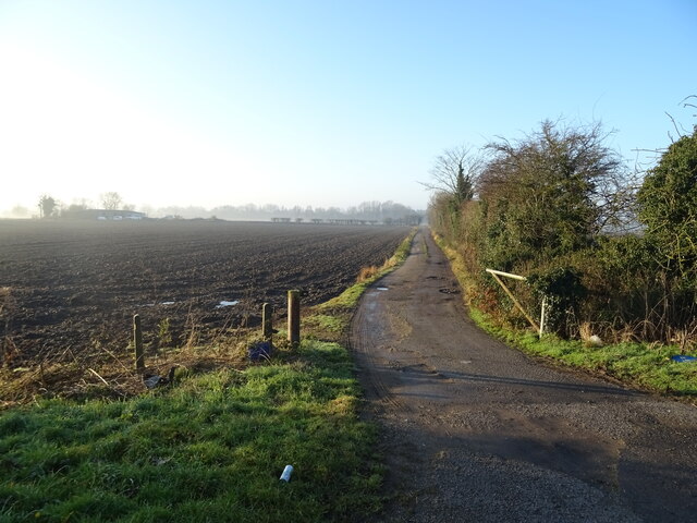
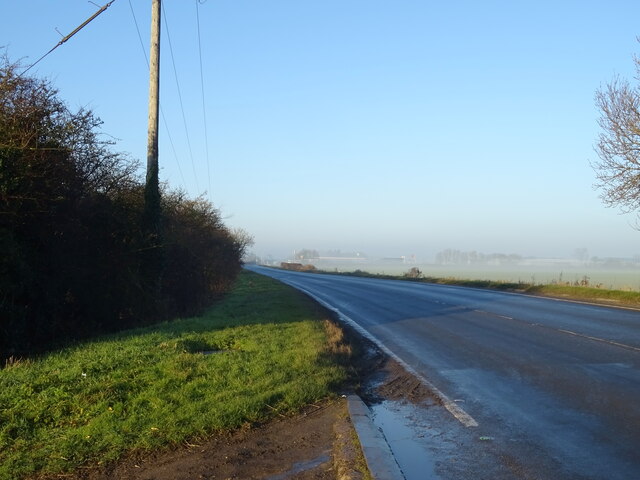
The Downs of Barrow Flat offer a stunning panoramic view of the surrounding countryside, characterized by rolling hills, lush meadows, and vibrant wildflowers. This vast expanse of land is a haven for hikers and nature enthusiasts, providing endless opportunities for exploration and outdoor activities. The Downs are also home to a variety of wildlife, including deer, rabbits, and numerous bird species, making it a popular destination for birdwatchers.
Adjacent to the Downs, the Moorland of Barrow Flat is a captivating sight to behold. With its rugged terrain, heather-covered hills, and peat bogs, this area is a unique and diverse ecosystem. The Moorland is also known for its archaeological significance, as it houses ancient burial grounds and the remains of prehistoric settlements, providing a glimpse into the region's fascinating past.
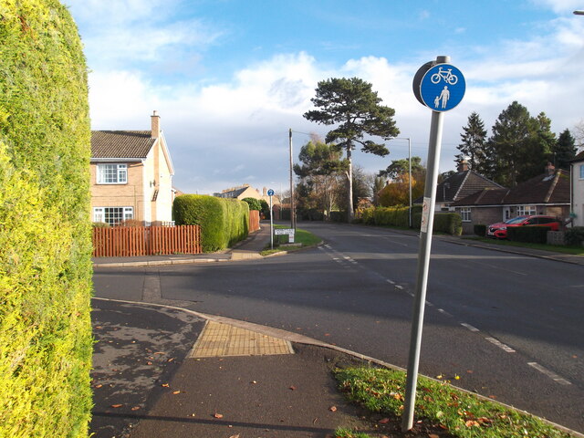
Visitors to Barrow Flat can immerse themselves in the local culture by exploring charming villages and towns that dot the landscape. These settlements offer a glimpse into traditional Yorkshire life, with their quaint cottages, historic buildings, and welcoming locals.
Barrow Flat, Yorkshire (Downs, Moorland) is a haven for nature lovers, history enthusiasts, and those seeking a tranquil escape from the hustle and bustle of city life. With its breathtaking landscapes and rich heritage, this region offers an unforgettable experience for all who visit.
If you have any feedback on the listing, please let us know in the comments section below.
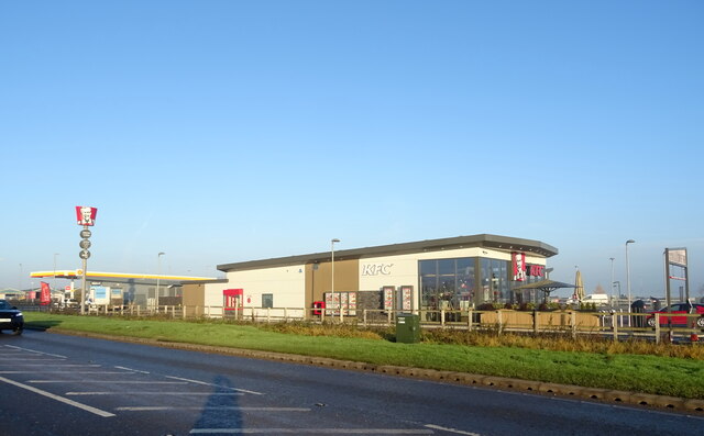
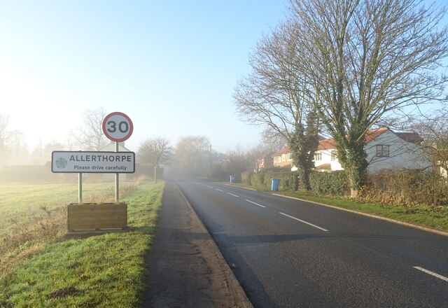
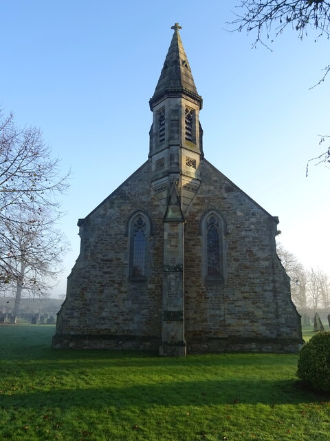
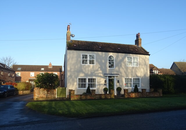
Barrow Flat Images
Images are sourced within 2km of 53.920842/-0.79002303 or Grid Reference SE7947. Thanks to Geograph Open Source API. All images are credited.


Barrow Flat is located at Grid Ref: SE7947 (Lat: 53.920842, Lng: -0.79002303)
Division: East Riding
Unitary Authority: East Riding of Yorkshire
Police Authority: Humberside
What 3 Words
///point.snoring.comically. Near Pocklington, East Yorkshire
Nearby Locations
Related Wikis
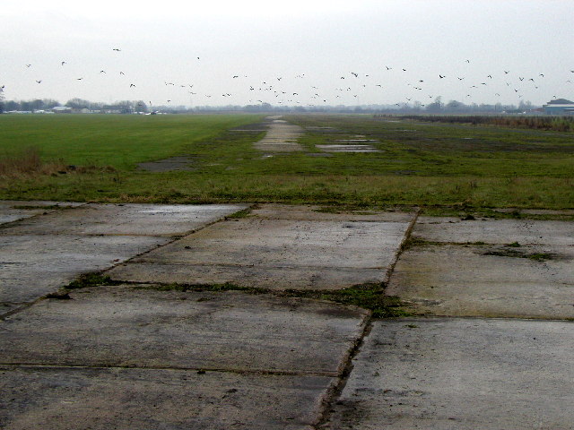
RAF Pocklington
Royal Air Force Pocklington or more simply RAF Pocklington was an operational flying station of the Royal Air Force during the Second World War, forming...
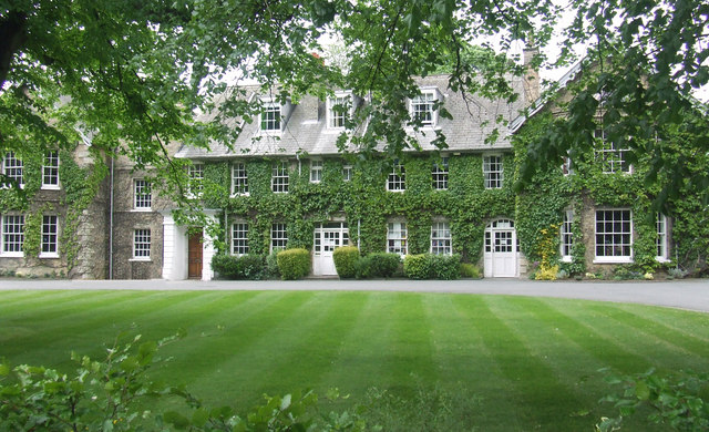
Pocklington School
Pocklington School is a private day and boarding school in Pocklington, East Riding of Yorkshire, England. It was founded in 1514 by John Dolman. The school...
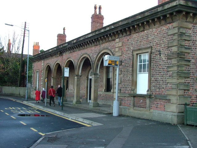
Pocklington railway station
Pocklington railway station was a station on the York to Beverley Line that served the town of Pocklington, East Riding of Yorkshire, England. It opened...

Burnby Hall Gardens
Burnby Hall Gardens, also known as Stewart's Burnby Hall Gardens and Museum, are located close to the centre of Pocklington, East Riding of Yorkshire,...
Nearby Amenities
Located within 500m of 53.920842,-0.79002303Have you been to Barrow Flat?
Leave your review of Barrow Flat below (or comments, questions and feedback).