Pickering Low Carr
Downs, Moorland in Yorkshire Ryedale
England
Pickering Low Carr

Pickering Low Carr is a picturesque village located in the county of Yorkshire, England. Situated amidst the stunning landscape of the North York Moors National Park, this small settlement offers visitors a glimpse into the natural beauty and rich history of the region.
Nestled within the rolling hills and verdant valleys of the moorland, Pickering Low Carr is known for its idyllic surroundings that make it a haven for outdoor enthusiasts. The village provides easy access to numerous walking trails and cycling routes, allowing visitors to explore the breathtaking scenery and encounter an array of flora and fauna along the way.
In addition to its natural attractions, Pickering Low Carr boasts a rich history dating back centuries. The village is home to several historic landmarks, including St. Nicholas Church, a captivating Grade II listed building that showcases stunning architecture and offers insight into the area's past.
For those seeking cultural experiences, Pickering Low Carr is also renowned for its vibrant arts and crafts scene. Visitors can browse charming local shops and galleries, where they can purchase unique handmade items created by talented artisans.
The village offers a range of amenities to cater to the needs of residents and visitors alike. From cozy bed and breakfasts to charming tea rooms and traditional pubs, Pickering Low Carr provides a warm welcome to all who visit.
Overall, Pickering Low Carr is a hidden gem within Yorkshire's Downs and Moorland, offering a perfect blend of natural beauty, history, and artistic culture. Whether seeking outdoor adventures or a peaceful retreat, this charming village has something to offer everyone.
If you have any feedback on the listing, please let us know in the comments section below.
Pickering Low Carr Images
Images are sourced within 2km of 54.207361/-0.78054713 or Grid Reference SE7979. Thanks to Geograph Open Source API. All images are credited.


Pickering Low Carr is located at Grid Ref: SE7979 (Lat: 54.207361, Lng: -0.78054713)
Division: North Riding
Administrative County: North Yorkshire
District: Ryedale
Police Authority: North Yorkshire
What 3 Words
///awakes.define.asterisk. Near Pickering, North Yorkshire
Nearby Locations
Related Wikis
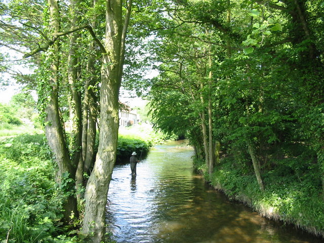
Pickering Beck
Pickering Beck is a river that runs for over 18 miles (29 km) from its source in the North York Moors National Park through the town of Pickering and on...

Kirby Misperton
Kirby Misperton is a small village and civil parish in North Yorkshire, England and has a population of around 370. It is about four miles (6 km) south...
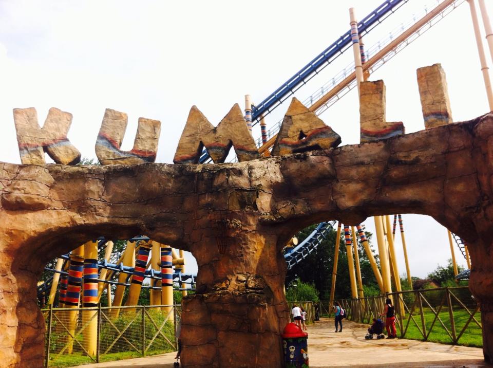
Kumali
Kumali, installed 2006, is a Vekoma Suspended Looping Coaster (SLC), located in Flamingo Land Resort in North Yorkshire, England. The ride is an Shenlin...
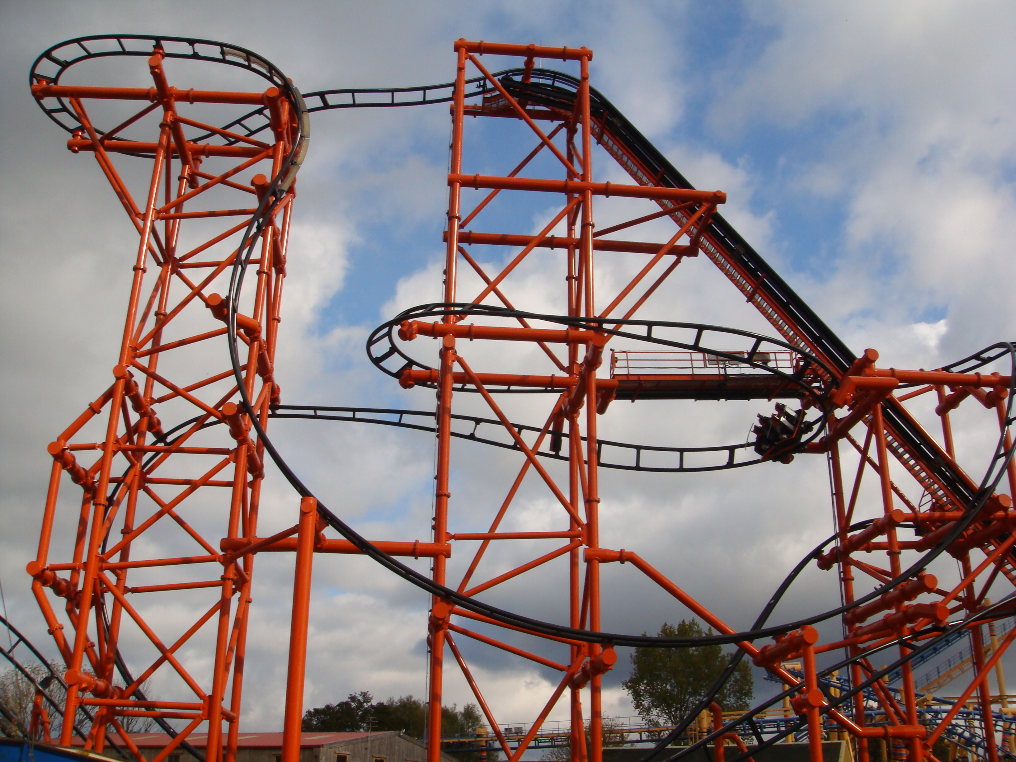
Mumbo Jumbo (roller coaster)
Mumbo Jumbo is a roller coaster which opened to the public on 4 July 2009 at Flamingo Land Resort, UK. Mumbo Jumbo is situated in the Lost Kingdom section...
Nearby Amenities
Located within 500m of 54.207361,-0.78054713Have you been to Pickering Low Carr?
Leave your review of Pickering Low Carr below (or comments, questions and feedback).