Canal Head
Settlement in Yorkshire
England
Canal Head
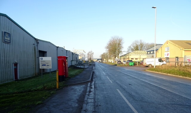
Canal Head is a small village located in the county of Yorkshire, England. Situated near the town of Tadcaster, Canal Head is known for its picturesque surroundings and its historical significance as a hub for canal trade.
The village takes its name from the canal basin that was constructed here in the late 18th century as part of the Leeds and Liverpool Canal. This canal played a vital role in the transportation of goods between the two major cities, and Canal Head served as a central point for the transfer of cargo.
Today, the canal basin remains a prominent feature of the village, attracting visitors with its tranquil atmosphere and charming scenery. The area is popular for leisure activities such as walking, cycling, and boating, offering opportunities for locals and tourists to enjoy the peaceful surroundings.
In addition to its natural beauty, Canal Head boasts a rich history. The village is home to several historic buildings, including a restored 18th-century warehouse that once stored goods transported via the canal. This architectural gem serves as a reminder of the village's past and provides a glimpse into the thriving trade that once took place here.
Overall, Canal Head offers a unique blend of natural beauty and historical significance. Its canal basin and historic buildings make it a delightful destination for those seeking a peaceful retreat or an insight into the region's industrial heritage.
If you have any feedback on the listing, please let us know in the comments section below.
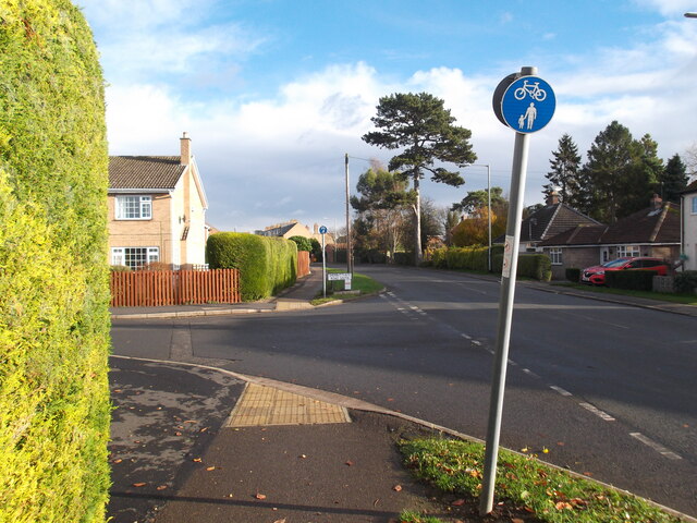
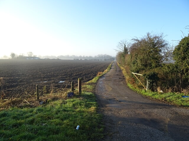
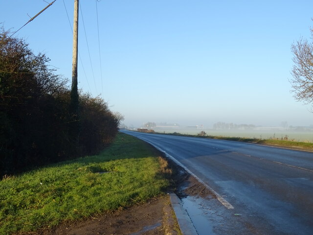
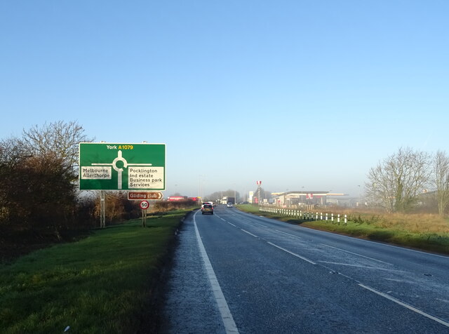
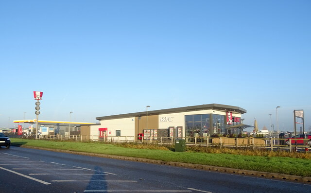
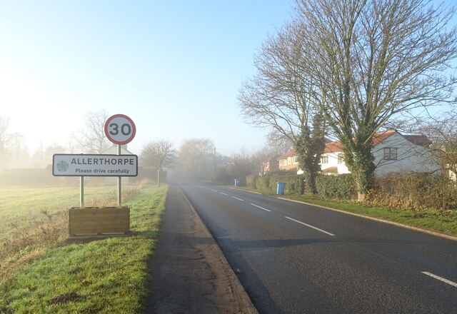
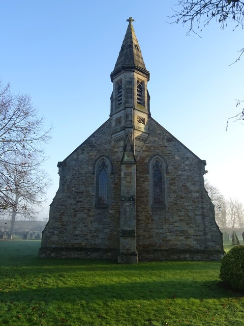
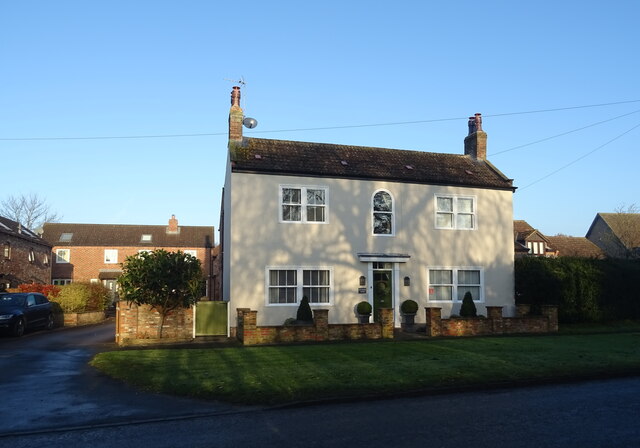
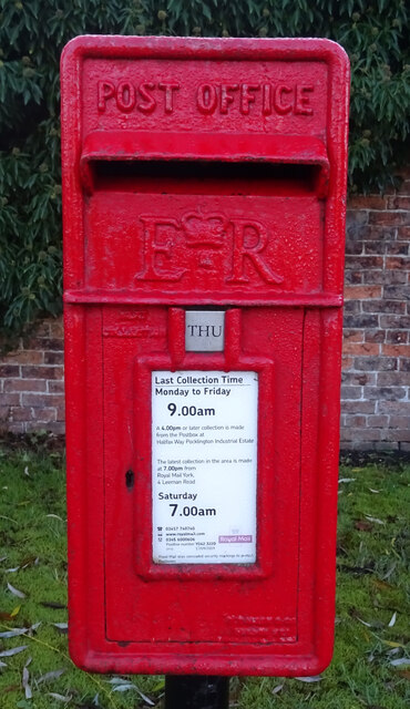
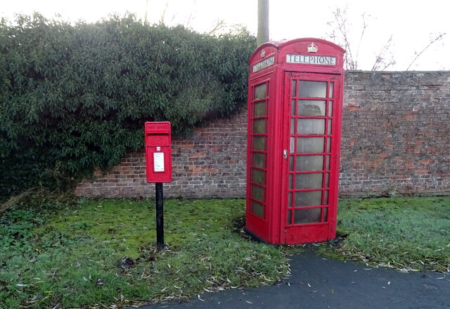
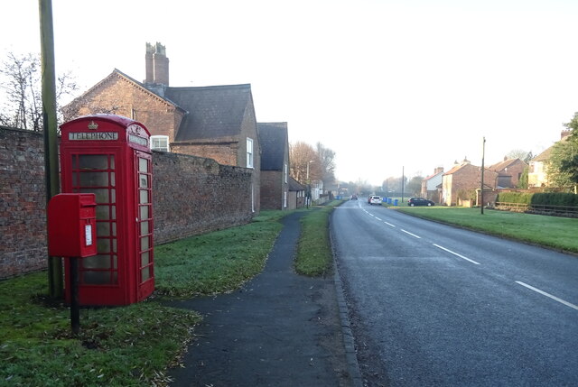
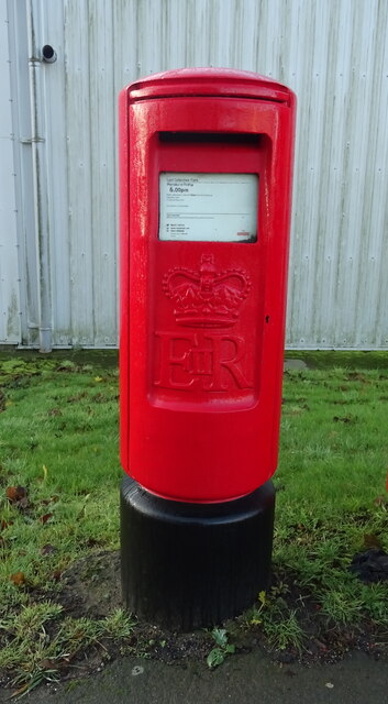
Canal Head Images
Images are sourced within 2km of 53.916327/-0.78353036 or Grid Reference SE7947. Thanks to Geograph Open Source API. All images are credited.


Canal Head is located at Grid Ref: SE7947 (Lat: 53.916327, Lng: -0.78353036)
Division: East Riding
Unitary Authority: East Riding of Yorkshire
Police Authority: Humberside
What 3 Words
///bashful.shorthand.awake. Near Pocklington, East Yorkshire
Nearby Locations
Related Wikis

Burnby Hall Gardens
Burnby Hall Gardens, also known as Stewart's Burnby Hall Gardens and Museum, are located close to the centre of Pocklington, East Riding of Yorkshire,...
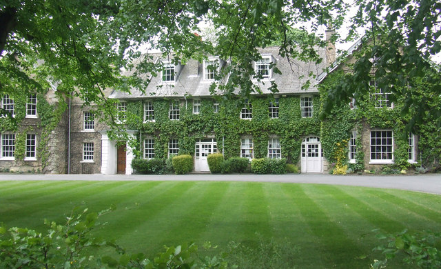
Pocklington School
Pocklington School is a private day and boarding school in Pocklington, East Riding of Yorkshire, England. It was founded in 1514 by John Dolman. The school...
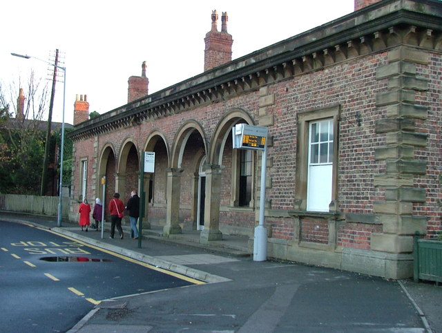
Pocklington railway station
Pocklington railway station was a station on the York to Beverley Line that served the town of Pocklington, East Riding of Yorkshire, England. It opened...

Pocklington Iron Age burial ground
The Pocklington Iron Age burial ground is a prehistoric cemetery discovered in 2014 on the outskirts of Pocklington in the East Riding of Yorkshire, England...

Allerthorpe
Allerthorpe is a village and civil parish in the East Riding of Yorkshire, England. It is situated approximately 1.5 miles (2.4 km) south-west from the...
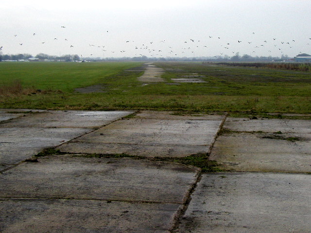
RAF Pocklington
Royal Air Force Pocklington or more simply RAF Pocklington was an operational flying station of the Royal Air Force during the Second World War, forming...

Church of All Saints, Pocklington
All Saints’ Church, Pocklington is the Anglican parish church for the town of Pocklington, East Riding of Yorkshire, England. It is also known locally...

Pocklington
Pocklington is a market town and civil parish situated at the foot of the Yorkshire Wolds in the East Riding of Yorkshire, England. The 2011 Census recorded...
Nearby Amenities
Located within 500m of 53.916327,-0.78353036Have you been to Canal Head?
Leave your review of Canal Head below (or comments, questions and feedback).