Sixteen Acre Plain
Downs, Moorland in Sussex Chichester
England
Sixteen Acre Plain
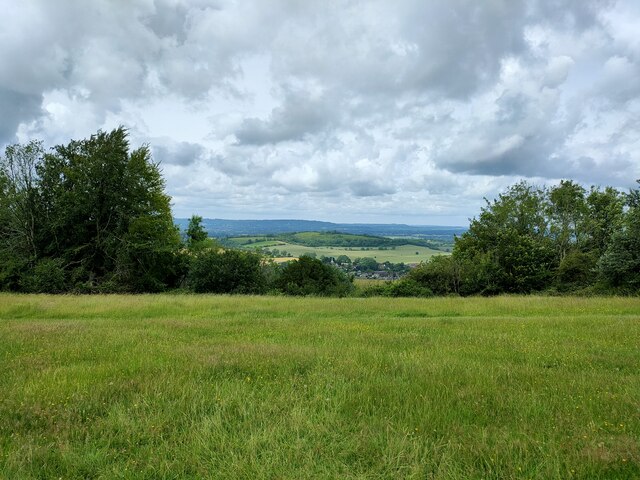
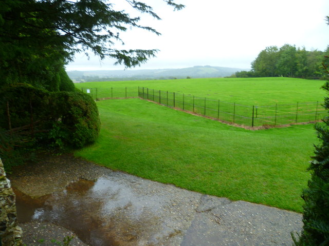
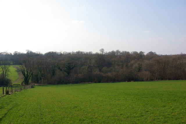
Sixteen Acre Plain, located in Sussex, England, is a picturesque and expansive landscape nestled within the Sussex Downs and Moorland. Spanning approximately sixteen acres, this plain offers a stunning natural beauty that attracts visitors from near and far.
The plain is characterized by its rolling hills, lush greenery, and vast open spaces. It is a haven for nature enthusiasts and outdoor lovers, providing ample opportunities for hiking, walking, and exploring. The diverse flora and fauna found here make it a popular destination for birdwatching and wildlife spotting.
The panoramic views from Sixteen Acre Plain are truly breathtaking, offering glimpses of the surrounding countryside and the distant coastline. On a clear day, visitors can marvel at the stunning vistas and enjoy a sense of tranquility as they take in the natural wonders that surround them.
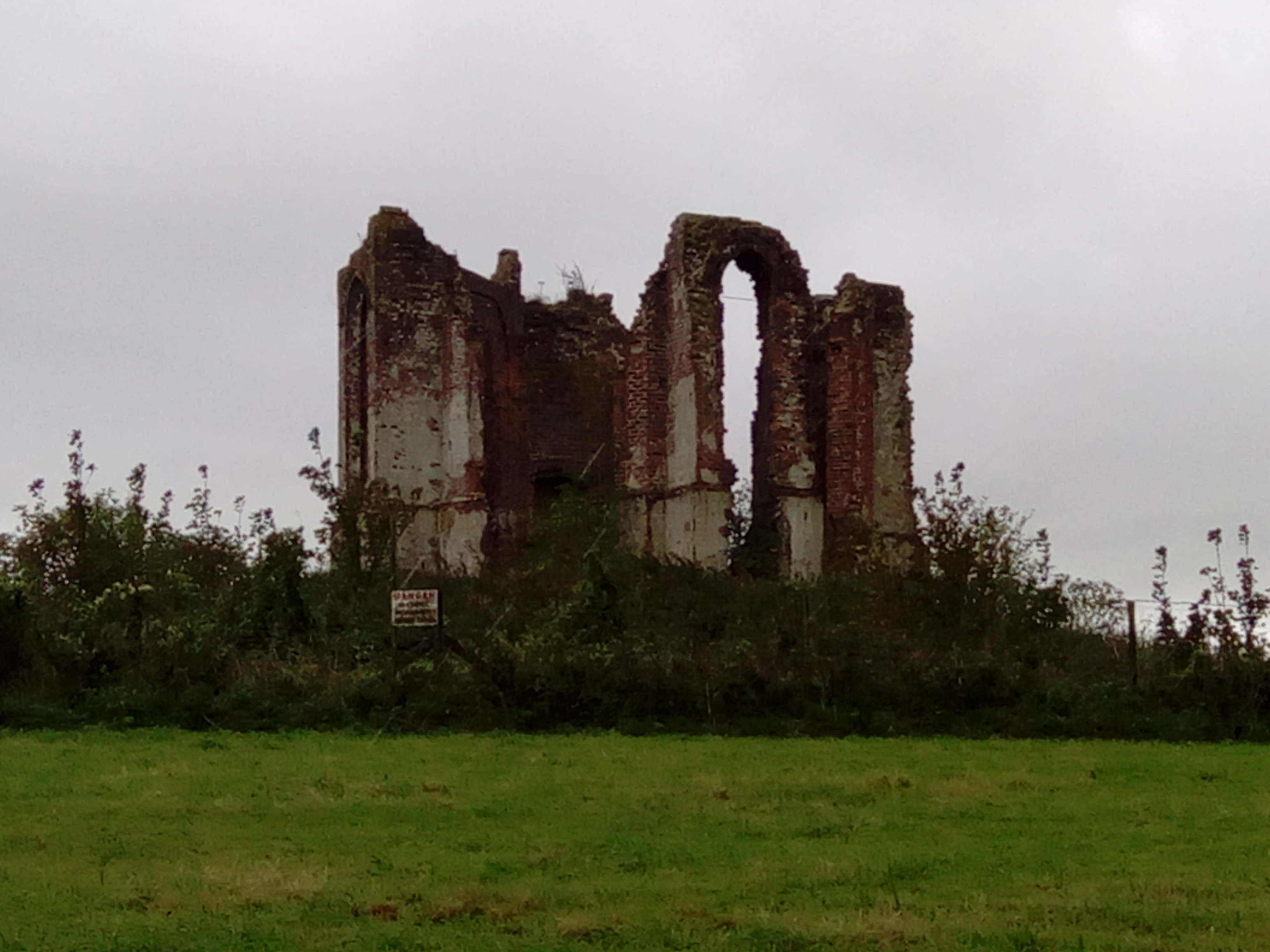
The plain is also home to several ancient archaeological sites, including burial mounds and hill forts, which add an element of historical significance to the area. These remnants of the past provide an insight into the rich cultural heritage of the region.
Visitors to Sixteen Acre Plain can expect a serene and peaceful atmosphere, away from the hustle and bustle of city life. The plain offers a chance to reconnect with nature and immerse oneself in the beauty of the Sussex Downs and Moorland. Whether it's a leisurely stroll, a picnic with loved ones, or simply enjoying the breathtaking views, Sixteen Acre Plain is a destination that offers something for everyone.
If you have any feedback on the listing, please let us know in the comments section below.
Sixteen Acre Plain Images
Images are sourced within 2km of 50.945343/-0.88338685 or Grid Reference SU7816. Thanks to Geograph Open Source API. All images are credited.
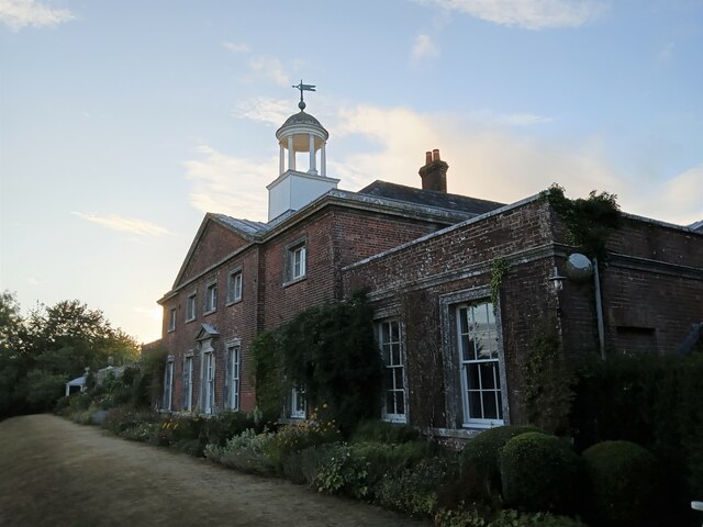
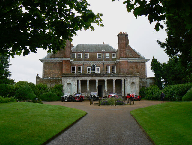
![Uppark - Stable Block The 19th century stables were added as a separate building to Uppark House [NT], but connected to the main building by tunnels.](https://s1.geograph.org.uk/geophotos/05/27/28/5272817_b902b11a.jpg)
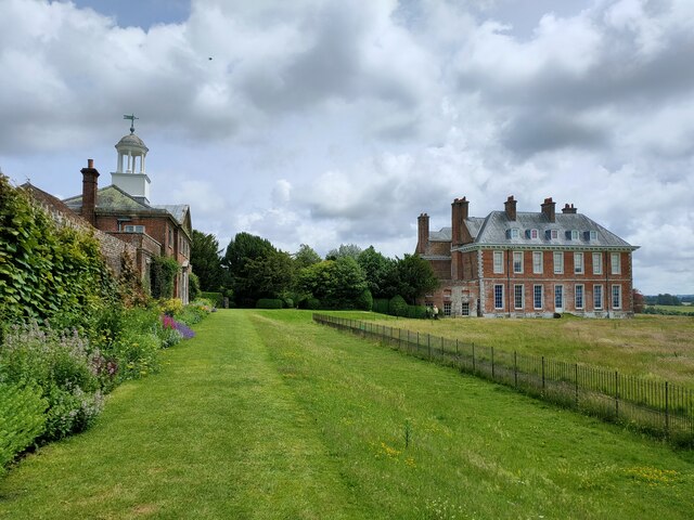
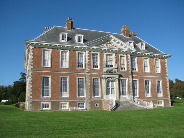
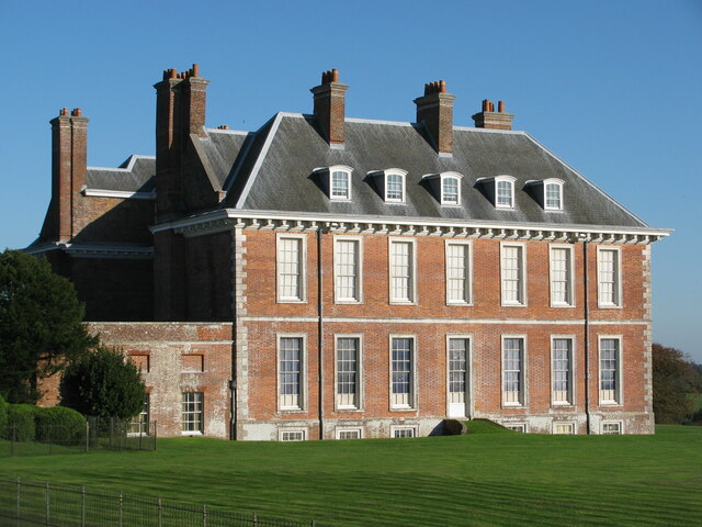
![Uppark Mansion This 17th century mansion [NT] in the South Downs near Harting was burnt out in 1989 but restored by 1995.](https://s1.geograph.org.uk/geophotos/05/27/28/5272821_bc9deec1.jpg)

Sixteen Acre Plain is located at Grid Ref: SU7816 (Lat: 50.945343, Lng: -0.88338685)
Administrative County: West Sussex
District: Chichester
Police Authority: Sussex
What 3 Words
///glue.airbase.doormat. Near South Harting, West Sussex
Nearby Locations
Related Wikis
Pads Wood
Pads Wood is a 22.2-hectare (55-acre) biological Site of Special Scientific Interest west of Midhurst in West Sussex. This ancient coppiced wood is mainly...

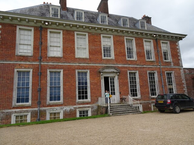
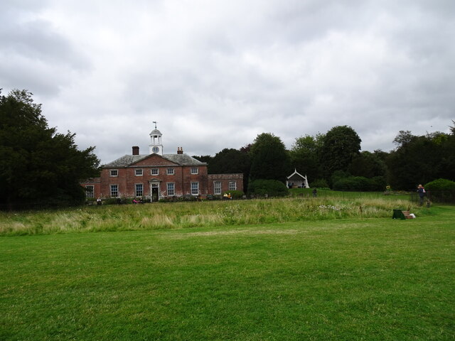
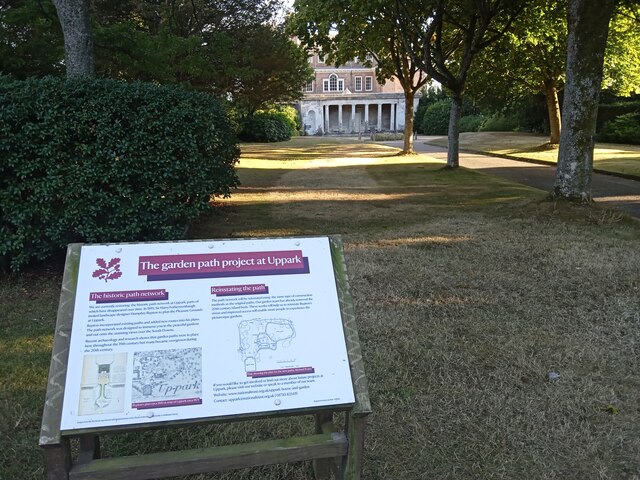
Uppark
Uppark is a 17th-century house in South Harting, West Sussex, England. It is a Grade I listed building and a National Trust property. == History == The...
Vandalian Tower
The Vandalian Tower at Harting, West Sussex, England, is an 18th-century folly, built to commemorate the British colony of Vandalia, a short-lived colony...

Harting Downs
Harting Downs is a 336.3-hectare (831-acre) biological Site of Special Scientific Interest west of Midhurst in West Sussex. It is a Nature Conservation...
Nearby Amenities
Located within 500m of 50.945343,-0.88338685Have you been to Sixteen Acre Plain?
Leave your review of Sixteen Acre Plain below (or comments, questions and feedback).