Lawn Bottom
Valley in Sussex Chichester
England
Lawn Bottom
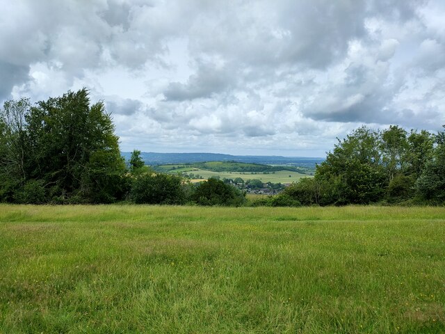
Lawn Bottom, Sussex (Valley) is a charming rural village nestled in the South Downs National Park, located in the county of Sussex, England. Situated in a picturesque valley, the village is surrounded by rolling hills, lush green meadows, and breathtaking countryside scenery.
With a population of approximately 500 residents, Lawn Bottom maintains a close-knit and friendly community atmosphere. The village is known for its peaceful and idyllic setting, making it a popular destination for those seeking a tranquil retreat or a place to enjoy outdoor activities.
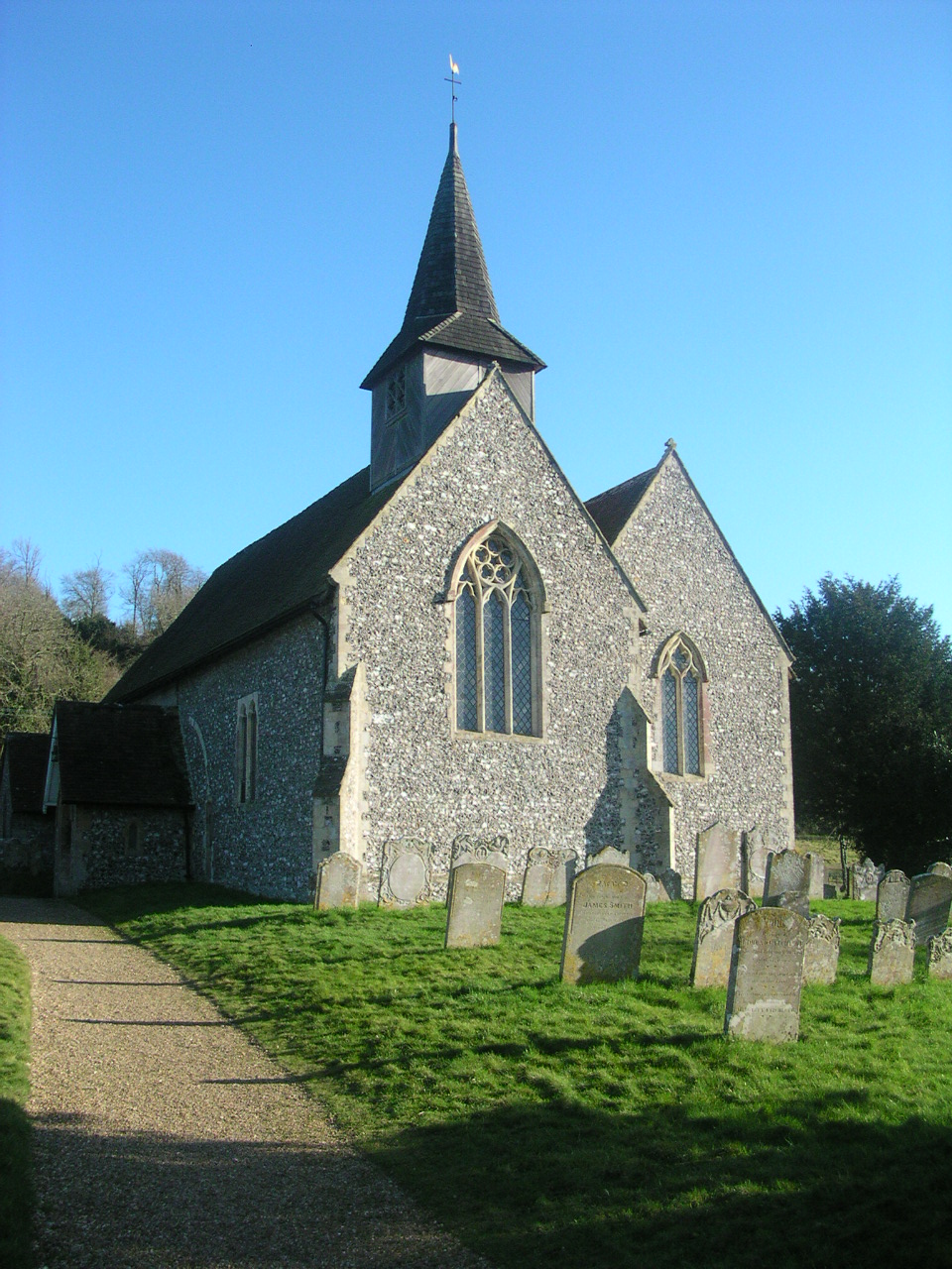
The architecture in Lawn Bottom reflects its rich history, with several historic buildings dating back to the 17th and 18th centuries. The village church, St. Mary's, is a notable landmark, boasting stunning medieval features and intricate stained glass windows.
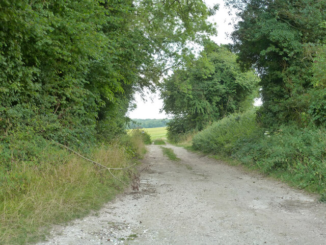
Nature enthusiasts will find ample opportunities to explore the surrounding countryside. The South Downs Way, a famous long-distance footpath, passes through Lawn Bottom, providing access to miles of scenic walks and hikes. The area is also abundant in wildlife, with various species of birds, butterflies, and wildflowers adding to its natural beauty.
Although small in size, Lawn Bottom offers essential amenities to its residents and visitors. There is a local village shop, a cozy pub serving traditional English fare, and a community center that hosts various events and activities throughout the year.
Lawn Bottom, Sussex (Valley) offers a peaceful and picturesque escape from city life, with its stunning natural surroundings, friendly community, and rich history. It is a destination that truly embodies the beauty and charm of the English countryside.
If you have any feedback on the listing, please let us know in the comments section below.
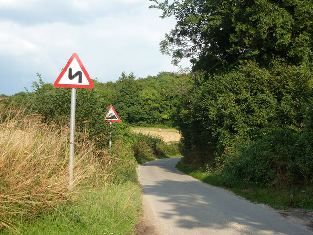
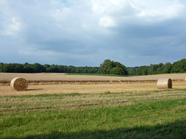
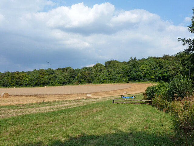
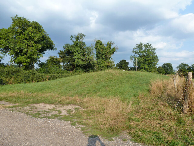
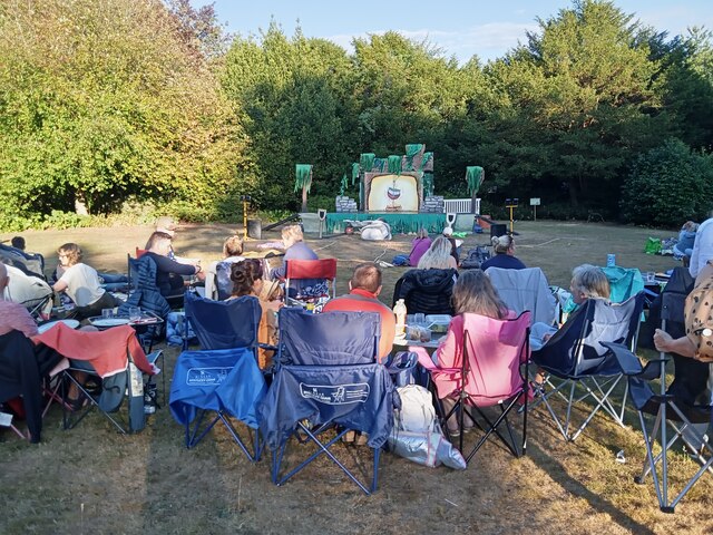
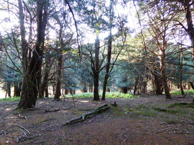
Lawn Bottom Images
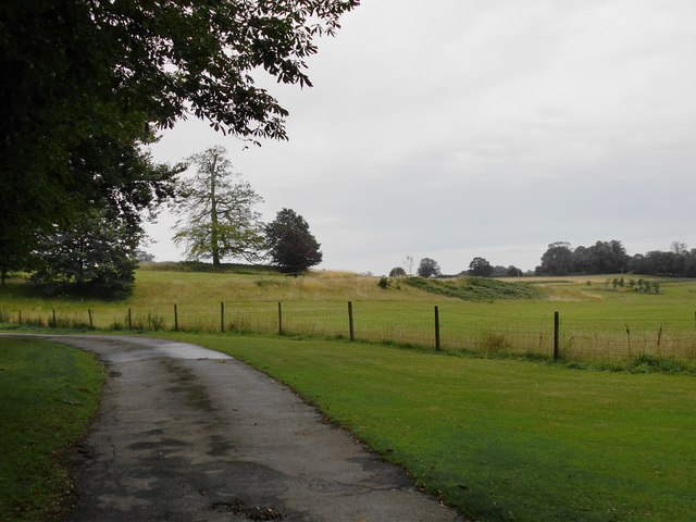
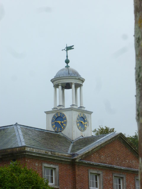
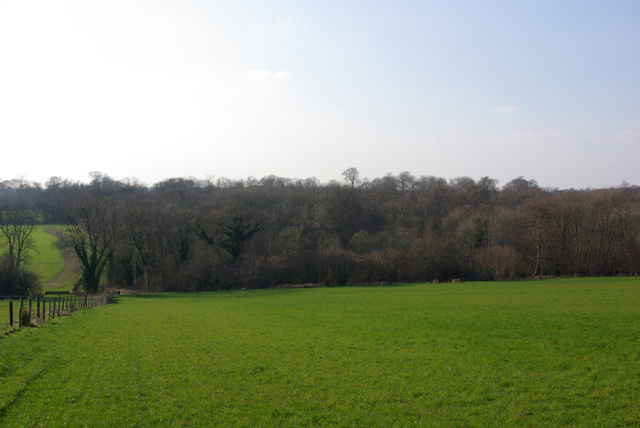
Images are sourced within 2km of 50.946724/-0.89052822 or Grid Reference SU7816. Thanks to Geograph Open Source API. All images are credited.
Lawn Bottom is located at Grid Ref: SU7816 (Lat: 50.946724, Lng: -0.89052822)
Administrative County: West Sussex
District: Chichester
Police Authority: Sussex
What 3 Words
///sideboard.bluntly.thousands. Near South Harting, West Sussex
Nearby Locations
Related Wikis

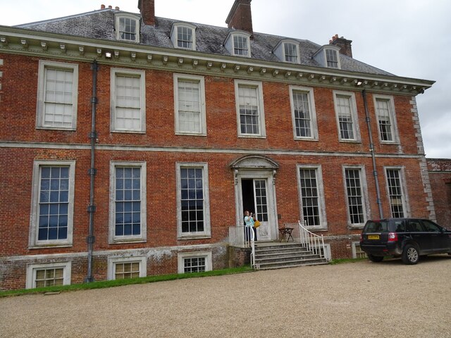
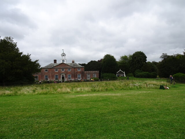
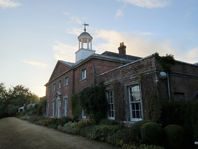
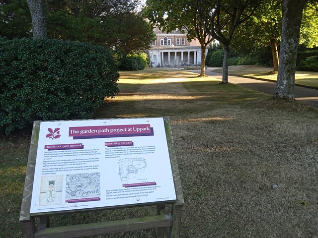
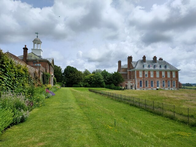
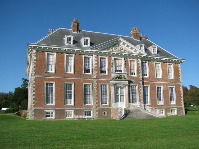
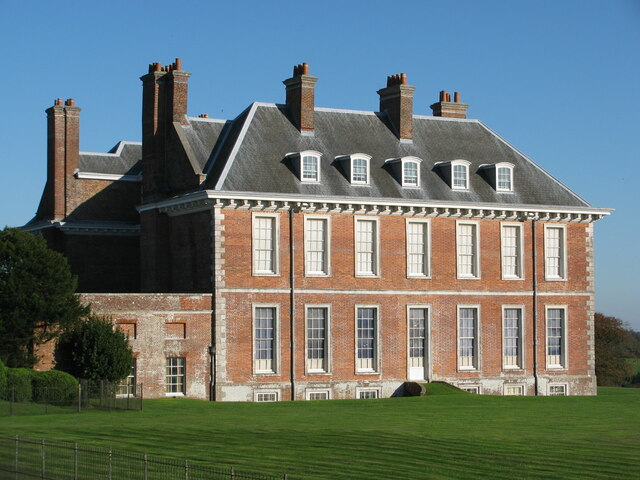
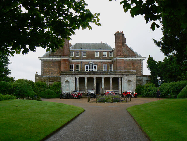
Uppark
Uppark is a 17th-century house in South Harting, West Sussex, England. It is a Grade I listed building and a National Trust property. == History == The...
Pads Wood
Pads Wood is a 22.2-hectare (55-acre) biological Site of Special Scientific Interest west of Midhurst in West Sussex.This ancient coppiced wood is mainly...
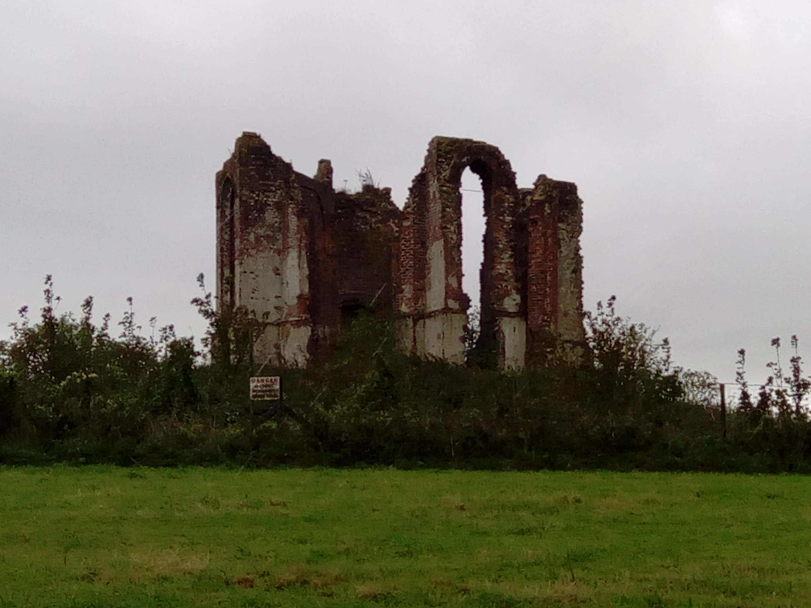
Vandalian Tower
The Vandalian Tower at Harting, West Sussex, England, is an 18th-century folly, built to commemorate the British colony of Vandalia, a short-lived colony...
West Harting Down SSSI
West Harting Down SSSI is a 13.9-hectare (34-acre) biological Site of Special Scientific Interest west of South Harting in West Sussex. It is part of...
Compton, West Sussex
Compton is a village and civil parish in the Chichester district of West Sussex. The village lies on the B2146 road, six miles (9.7 km) southeast of Petersfield...

Harting Downs
Harting Downs is a 336.3-hectare (831-acre) biological Site of Special Scientific Interest west of Midhurst in West Sussex. It is a Nature Conservation...

Compton Down, Compton
Compton Down is an extent of high ground near Compton, West Sussex where there was an Admiralty semaphore station. The semaphore station was built at...

South Harting
South Harting is a village within Harting civil parish in the Chichester district of West Sussex, England. It lies on the B2146 road, 4 miles (6.4 km)...
Nearby Amenities
Located within 500m of 50.946724,-0.89052822Have you been to Lawn Bottom?
Leave your review of Lawn Bottom below (or comments, questions and feedback).