Pasture Fields
Downs, Moorland in Yorkshire Ryedale
England
Pasture Fields

The requested URL returned error: 429 Too Many Requests
If you have any feedback on the listing, please let us know in the comments section below.
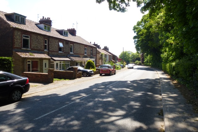
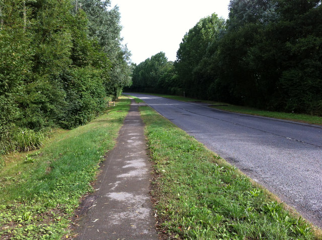
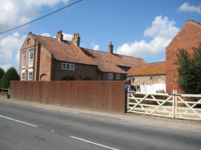
Pasture Fields Images
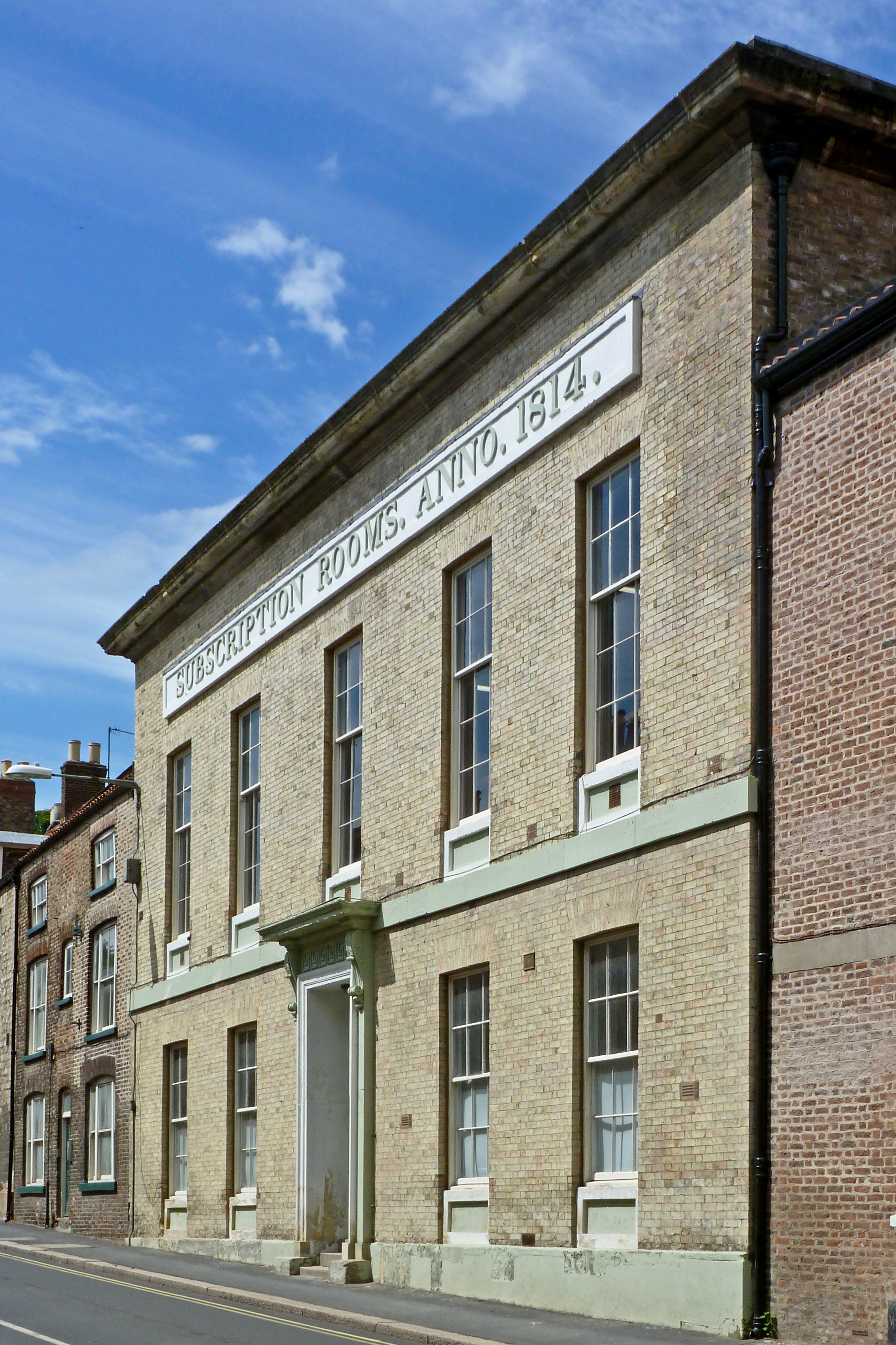
Images are sourced within 2km of 54.141716/-0.79965231 or Grid Reference SE7872. Thanks to Geograph Open Source API. All images are credited.


Pasture Fields is located at Grid Ref: SE7872 (Lat: 54.141716, Lng: -0.79965231)
Division: North Riding
Administrative County: North Yorkshire
District: Ryedale
Police Authority: North Yorkshire
What 3 Words
///richest.texts.ready. Near Malton, North Yorkshire
Nearby Locations
Related Wikis
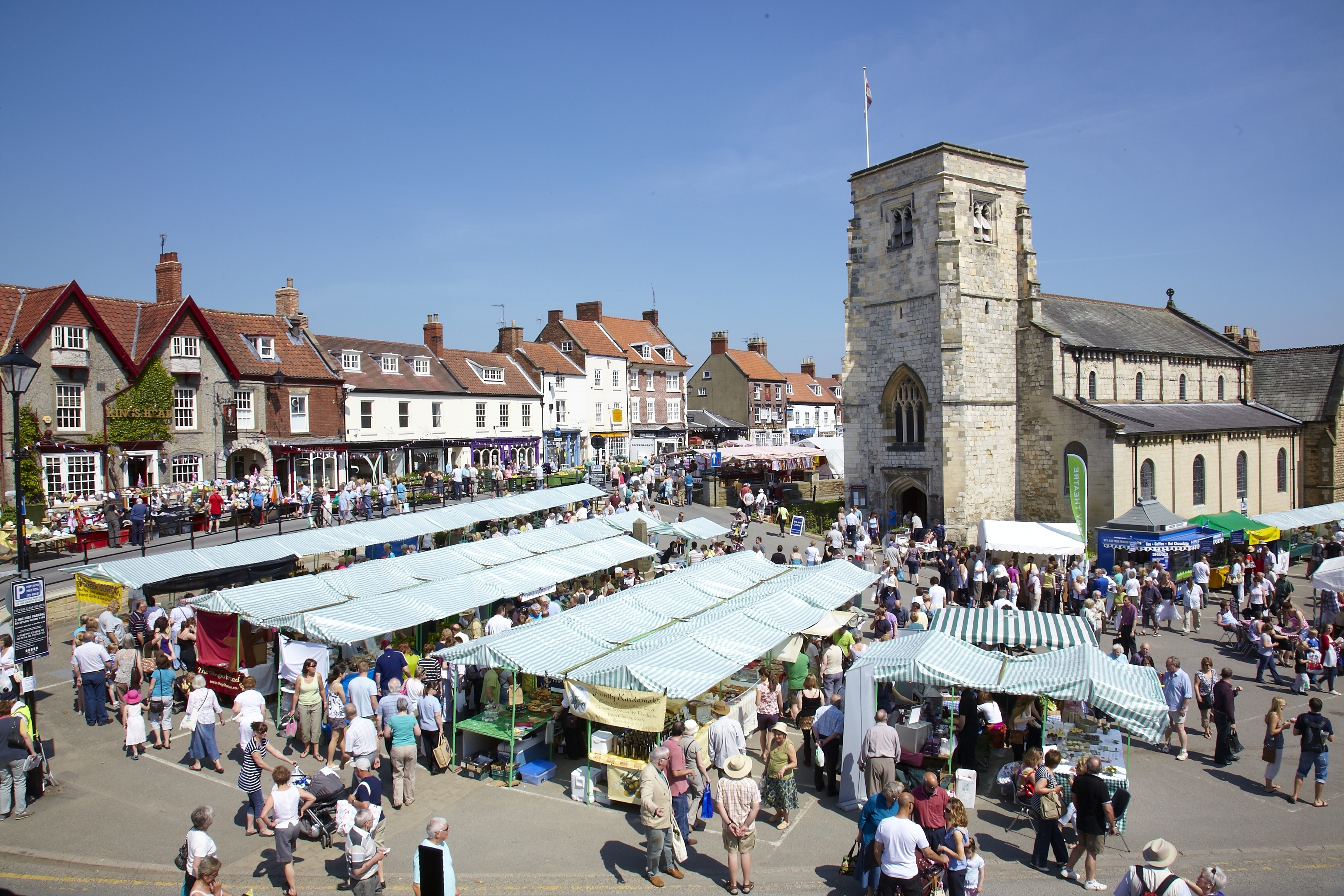
Malton, North Yorkshire
Malton is a market town, civil parish and electoral ward in North Yorkshire, England. Historically part of the North Riding of Yorkshire, the town has...
Malton Museum
Malton Museum is an archaeological museum based in Malton, North Yorkshire. == History == The museum first opened in 1935 in the Milton Rooms. By 1982...

Malton Town Hall
Malton Town Hall is a municipal building in the Market Place, Malton, North Yorkshire, England. The structure, which is used as a restaurant, is a grade...

Malton Community Hospital
Malton Community Hospital is a health facility in Middlecave Road, Malton, North Yorkshire, England. It is managed by York and Scarborough Teaching Hospitals...
Nearby Amenities
Located within 500m of 54.141716,-0.79965231Have you been to Pasture Fields?
Leave your review of Pasture Fields below (or comments, questions and feedback).