West Field

Downs, Moorland in Yorkshire

England

West Field

Cemetery from Pinfold Street Looking across the Cemetery towards St. Michael's Church.
Cemetery from Pinfold Street Credit: DS Pugh

The requested URL returned error: 429 Too Many Requests

If you have any feedback on the listing, please let us know in the comments section below.
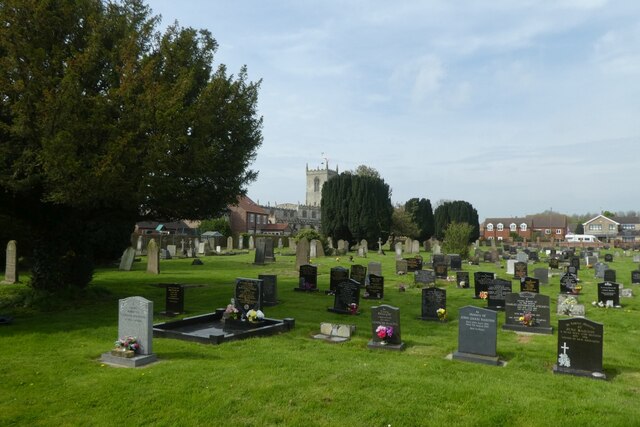
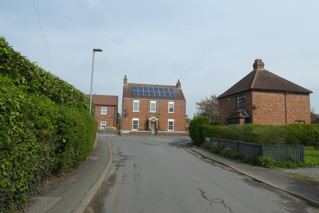
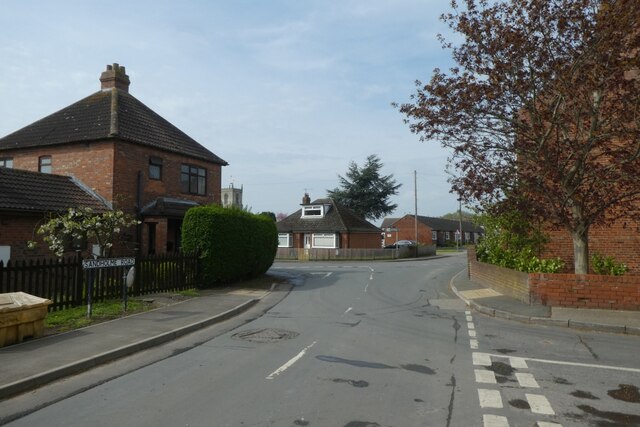
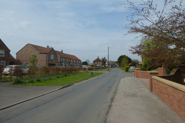
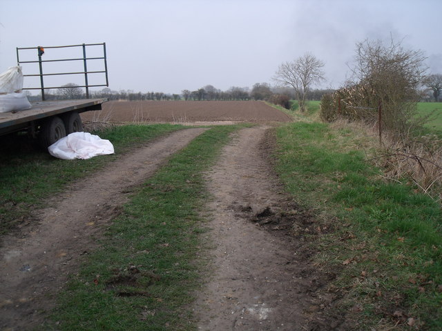
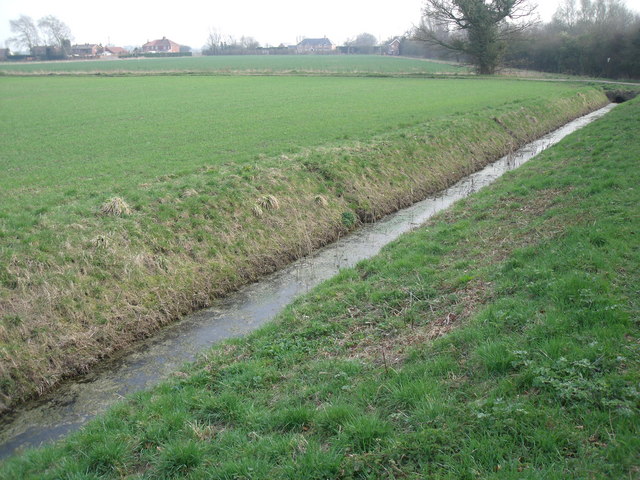
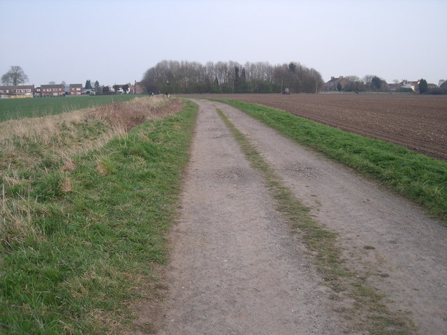
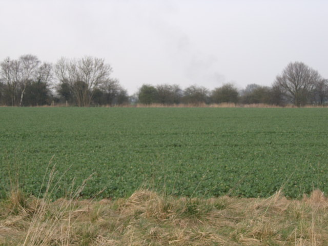
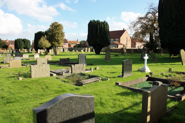
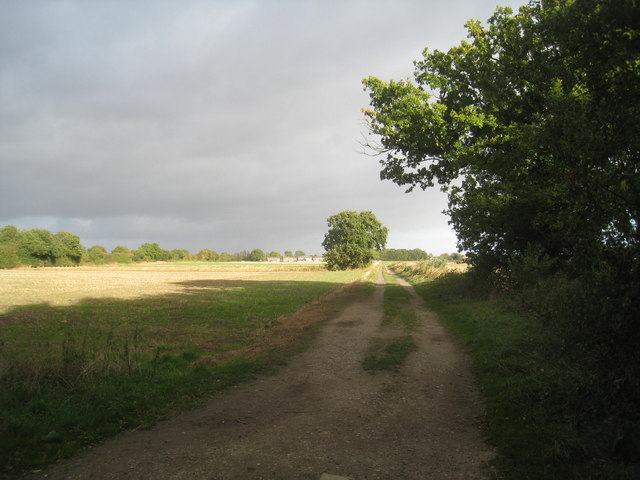
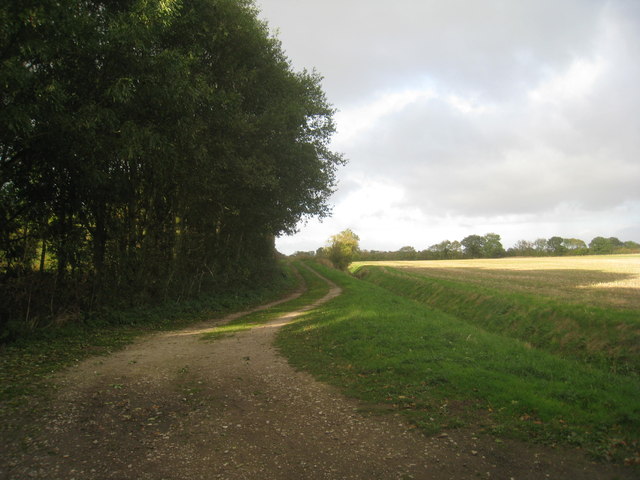
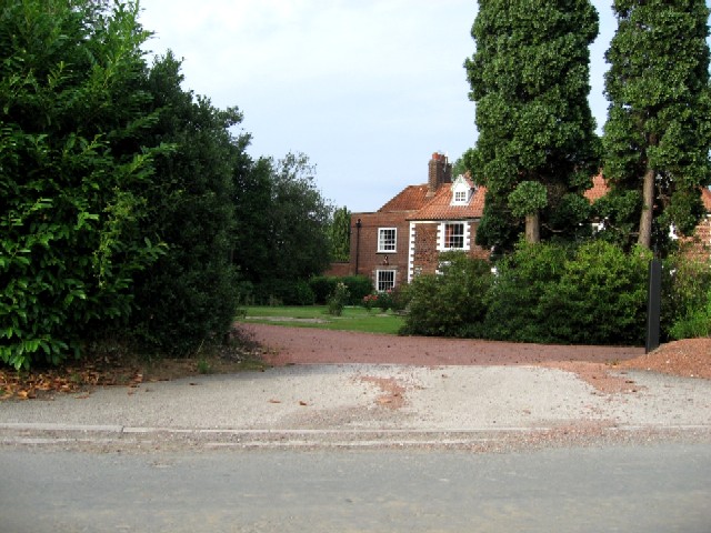
West Field Images

Images are sourced within 2km of 53.762661/-0.8105183 or Grid Reference SE7830. Thanks to Geograph Open Source API. All images are credited.

Cemetery from Pinfold Street Looking across the Cemetery towards St. Michael's Church.
Cemetery from Pinfold Street
Looking across the Cemetery towards St. Michael's Church.
Pinfold Street towards Queen Street Ahead is the junction with Queen Street (left) and Sandholme Road (right).
Pinfold Street towards Queen Street
Ahead is the junction with Queen Street (left) and Sandholme Road (right).
Junction with Carr Lane Immediately on the right is Carr Lane with Sandholme Road meeting Pinfold Street and Queen Street ahead.
Junction with Carr Lane
Immediately on the right is Carr Lane with Sandholme Road meeting Pinfold Street and Queen Street ahead.
Field in Eastrington Looking along the edge of houses in Eastrington from Sandholme Road.
Field in Eastrington
Looking along the edge of houses in Eastrington from Sandholme Road.
Sandholme Road, Eastrington Looking along Sandholme Road in the village of Eastrington.
Sandholme Road, Eastrington
Looking along Sandholme Road in the village of Eastrington.
Farm track, Eastrington
Field drain, Eastrington
Westfield Lane (track) towards Eastrington village
Farmland, Eastrington
The Graveyard, St Michael's Eastrington The inscriptions face east, roughly the direction of the photograph.
The Graveyard, St Michael's Eastrington
The inscriptions face east, roughly the direction of the photograph.
Field boundary near Eastrington The trees in the distance mark the course of the former Hull and Barnsley Railway line.
Field boundary near Eastrington
The trees in the distance mark the course of the former Hull and Barnsley Railway line.
Milkingstile Lane A track well used by dog walkers (of which, on this occasion, I was one).
Milkingstile Lane
A track well used by dog walkers (of which, on this occasion, I was one).
Milkingstile Lane Lit by the evening sun. This part of Milkingstile Lane is less well used than the section to the east of the footpath to Grange Farm.
Milkingstile Lane
Lit by the evening sun. This part of Milkingstile Lane is less well used than the section to the east of the footpath to Grange Farm.
Grove Farm, Portington The roofline is wonderfully wavy.
Grove Farm, Portington
The roofline is wonderfully wavy.
Westfield Lane Eastrington visible in the distance
Westfield Lane
Eastrington visible in the distance
Farm track near Eastrington An extension of Westfield Lane.
Farm track near Eastrington
An extension of Westfield Lane.
Straw stack near Eastrington Appears to have been constructed on the line of the former Hull and Barnsley Railway.
Straw stack near Eastrington
Appears to have been constructed on the line of the former Hull and Barnsley Railway.
Pavement from Long Lane junction The B1230 Main Road heads to Gilberdyke.
Pavement from Long Lane junction
The B1230 Main Road heads to Gilberdyke.
Show me another place!

West Field is located at Grid Ref: SE7830 (Lat: 53.762661, Lng: -0.8105183)

Division: East Riding

Unitary Authority: East Riding of Yorkshire

Police Authority: Humberside

What 3 Words

///adapt.masks.dabbing. Near Eastrington, East Yorkshire

Related Wikis

Portington, East Riding of Yorkshire

Portington is a hamlet in the East Riding of Yorkshire, England. It is situated approximately 3 miles (5 km) east of Howden and lies 0.5 miles (0.8 km...

North Eastrington railway station

North Eastrington railway station was a station on the Hull and Barnsley Railway that served the village of Eastrington in the East Riding of Yorkshire...

Eastrington

Eastrington is a small village and civil parish in the East Riding of Yorkshire, England. It is situated approximately 3 miles (5 km) to the east of Howden...

Eastrington railway station

Eastrington railway station serves the small village of Eastrington in the East Riding of Yorkshire, England. The station is 19+1⁄4 miles (31 km) west...

Nearby Amenities

Located within 500m of 53.762661,-0.8105183
Eastrington Picnic Site
Tourism: picnic_site
Lat/Long: 53.7592981/-0.8079836
Source: GPS
Lat/Long: 53.7609856/-0.8053722
Barrier: kissing_gate
Foot: yes
Lat/Long: 53.7603594/-0.8146316
The data included in this document is from www.openstreetmap.org. The data is made available under ODbL.

Have you been to West Field?

Leave your review of West Field below (or comments, questions and feedback).