Acres
Downs, Moorland in Yorkshire Ryedale
England
Acres
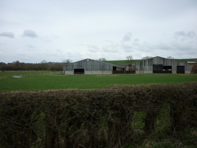
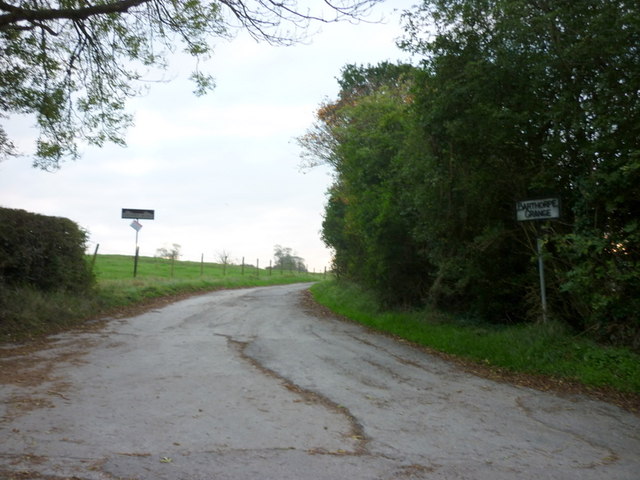
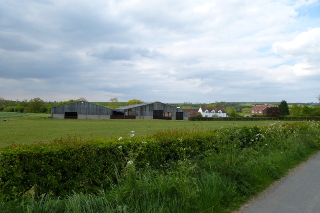
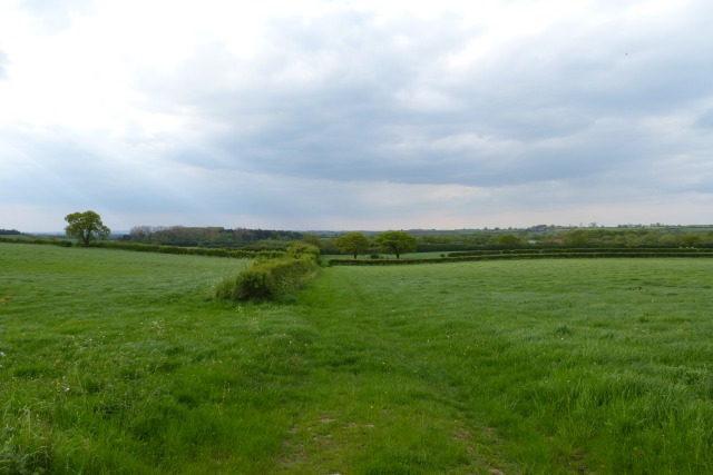
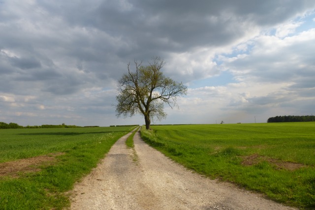
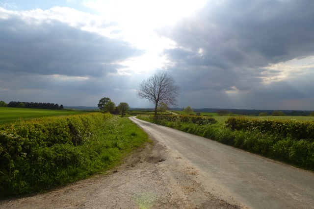
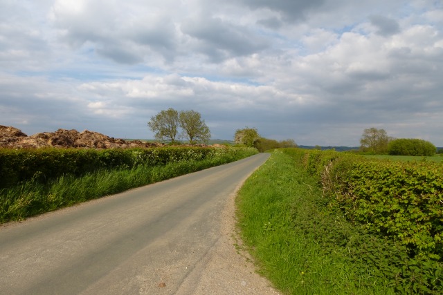
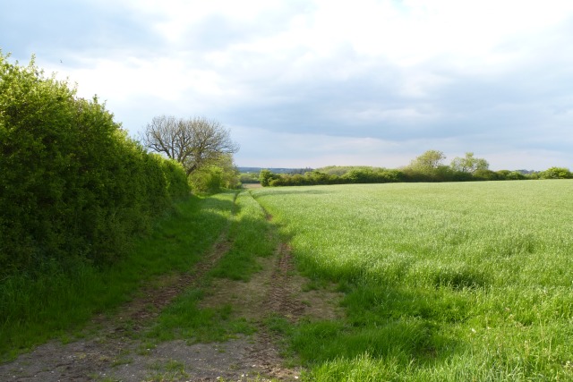
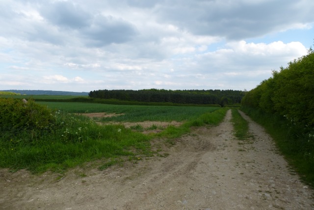
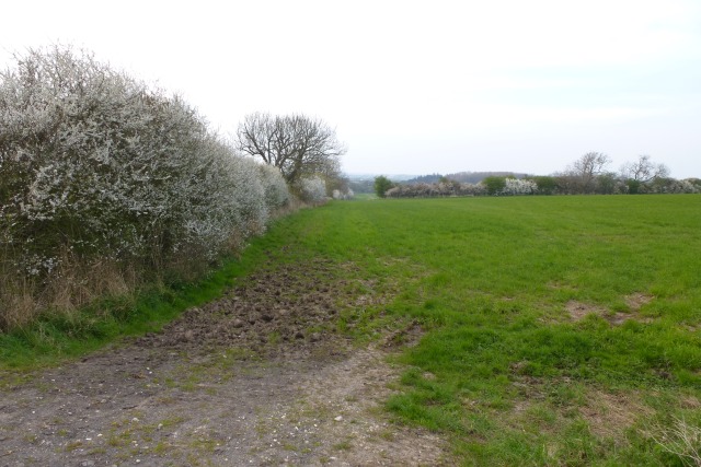
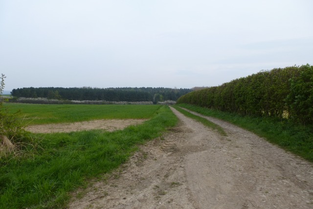
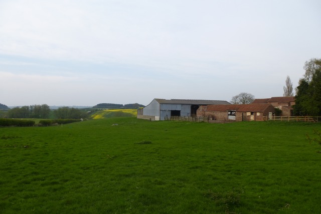
Acres, Yorkshire is a picturesque region located in the northern part of England, known for its breathtaking landscapes and natural beauty. Nestled between the Downs and Moorland, this area offers a unique blend of rolling hills, lush greenery, and expansive moors.
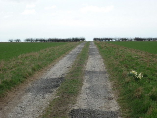
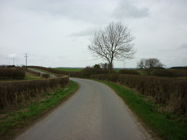
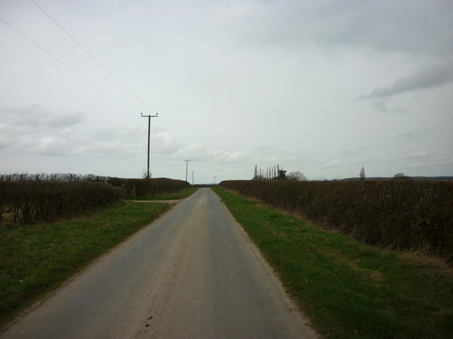
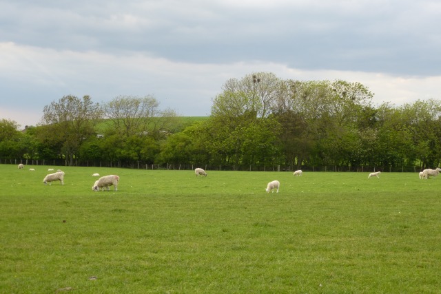
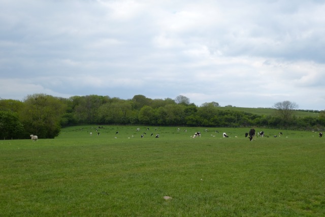
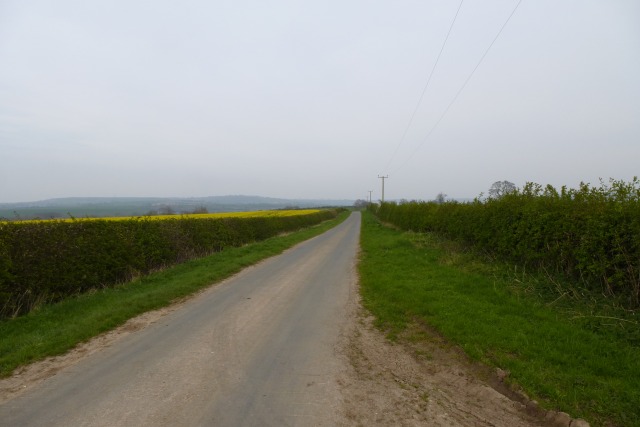
The Downs in Acres, Yorkshire are characterized by their gentle slopes and wide open spaces, making it a haven for hikers, nature enthusiasts, and outdoor adventurers. The Downs offer stunning panoramic views of the surrounding countryside, with its undulating fields and meadows dotted with grazing livestock.
On the other hand, the Moorland in Acres, Yorkshire presents a more rugged and untamed terrain. Here, visitors can witness the raw beauty of heather-covered moors, interspersed with rocky outcrops and winding streams. Moorland also provides a habitat for various wildlife species, including birds of prey, grouse, and even rare flora.
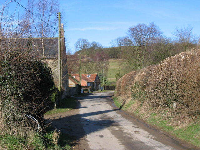
Acres, Yorkshire is also home to charming villages and towns, where visitors can experience the warmth of Yorkshire hospitality. These communities offer a glimpse into the rich cultural heritage of the region, with their traditional stone cottages, quaint shops, and local pubs serving hearty Yorkshire cuisine.
In addition to its natural attractions, Acres, Yorkshire is also known for its historic landmarks and cultural sites. From ancient castles and abbeys to art galleries and museums, there is no shortage of opportunities to delve into the area's fascinating history.
Overall, Acres, Yorkshire (Downs, Moorland) provides a truly unforgettable experience for those seeking to immerse themselves in the beauty of nature, explore the rich heritage of the region, and enjoy the warmth of Yorkshire's unique charm.
If you have any feedback on the listing, please let us know in the comments section below.
Acres Images
Images are sourced within 2km of 54.037391/-0.84002483 or Grid Reference SE7660. Thanks to Geograph Open Source API. All images are credited.
Acres is located at Grid Ref: SE7660 (Lat: 54.037391, Lng: -0.84002483)
Division: East Riding
Administrative County: North Yorkshire
District: Ryedale
Police Authority: North Yorkshire
What 3 Words
///relishes.tripling.swerving. Near Bugthorpe, East Yorkshire
Nearby Locations
Related Wikis

Leppington, North Yorkshire
Leppington is a hamlet and former civil parish, now in the parish of Scrayingham, in North Yorkshire, England, and is 12 miles (19 km) north-east from...
Acklam, Ryedale
Acklam is a small village and civil parish in North Yorkshire, England. It is situated approximately 12 miles (20 km) north-east of York city centre and...

Scrayingham
Scrayingham is a village and civil parish in North Yorkshire, England. It was historically part of the East Riding of Yorkshire until 1974. The population...

Bugthorpe
Bugthorpe is a village and civil parish in the East Riding of Yorkshire, England, about 11 miles (18 km) east of York and 16 miles (26 km) west of Driffield...

Howsham, North Yorkshire
Howsham is a village and civil parish in North Yorkshire, England. It is home to a small parish church and Howsham Hall. Howsham appeared as Husun in...

Leavening, North Yorkshire
Leavening is a village and civil parish in the Ryedale district of North Yorkshire, England. The village is situated approximately 13 miles (20 km) north...

Howsham Hall
Howsham Hall is a 28,336 square feet (2,632.5 m2) grade I listed Jacobean stately home in Howsham, North Yorkshire, England.It is built in two storeys...
Buttercrambe Castle
Buttercrambe Castle was in the village of Buttercrambe in North Yorkshire, England. This was possibly a medieval motte-and-bailey castle. The bailey has...
Nearby Amenities
Located within 500m of 54.037391,-0.84002483Have you been to Acres?
Leave your review of Acres below (or comments, questions and feedback).