Bagwell Green
Downs, Moorland in Hampshire Hart
England
Bagwell Green
Bagwell Green is a picturesque village located in the county of Hampshire, England. Situated in the heart of the South Downs National Park, it offers breathtaking views of rolling hills, verdant meadows, and ancient woodland. The village is renowned for its idyllic countryside setting, making it a popular destination for nature enthusiasts and hikers seeking an escape from the hustle and bustle of urban life.
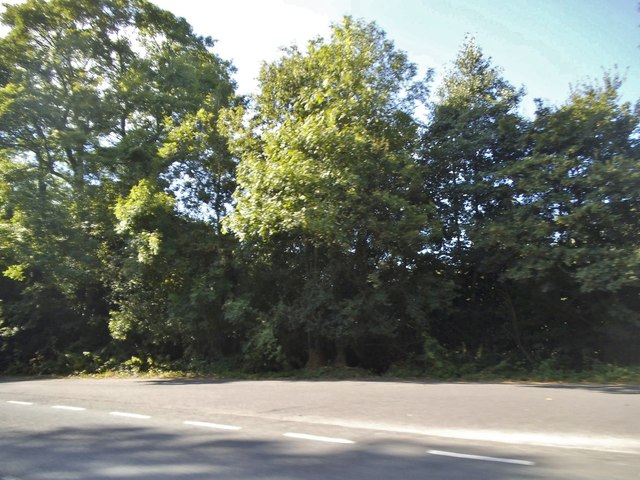
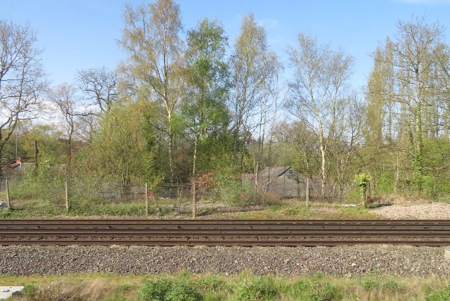
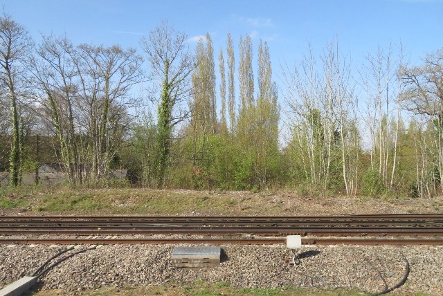
The landscape of Bagwell Green is characterized by a unique combination of downs and moorland. The downs, with their gently sloping hills, are covered with lush grass and dotted with vibrant wildflowers during the warmer months. This creates a stunning tapestry of colors that attracts an array of wildlife, including rabbits, deer, and a variety of bird species.
In contrast, the moorland areas of Bagwell Green offer a more rugged and untamed scenery. Here, visitors can explore expansive heathlands and immerse themselves in the tranquility of the surrounding wilderness. The moorland is also home to several rare plant species and provides a habitat for diverse wildlife, such as the elusive Dartford warbler and the agile adder.
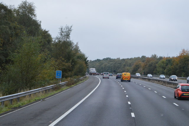
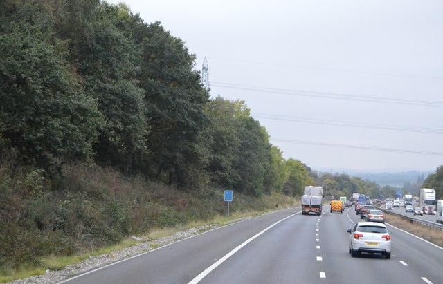
The village itself is small and quaint, with charming cottages and a close-knit community. It offers a range of amenities, including a local pub serving traditional English fare and a small village shop for basic necessities. Despite its rural character, Bagwell Green is well-connected to nearby towns and cities, with good transport links and easy access to major roads.
Overall, Bagwell Green is a serene and captivating destination that showcases the natural beauty of Hampshire. Whether you are seeking an outdoor adventure or a peaceful retreat, this village is sure to leave a lasting impression.
If you have any feedback on the listing, please let us know in the comments section below.
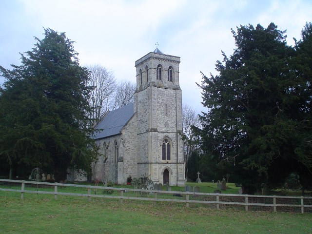
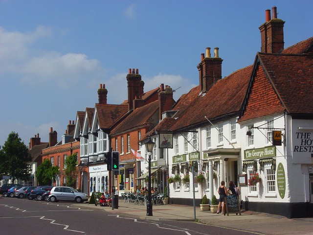
Bagwell Green Images
Images are sourced within 2km of 51.271784/-0.91080183 or Grid Reference SU7653. Thanks to Geograph Open Source API. All images are credited.


Bagwell Green is located at Grid Ref: SU7653 (Lat: 51.271784, Lng: -0.91080183)
Administrative County: Hampshire
District: Hart
Police Authority: Hampshire
What 3 Words
///chromatic.handbags.relax. Near Odiham, Hampshire
Nearby Locations
Related Wikis

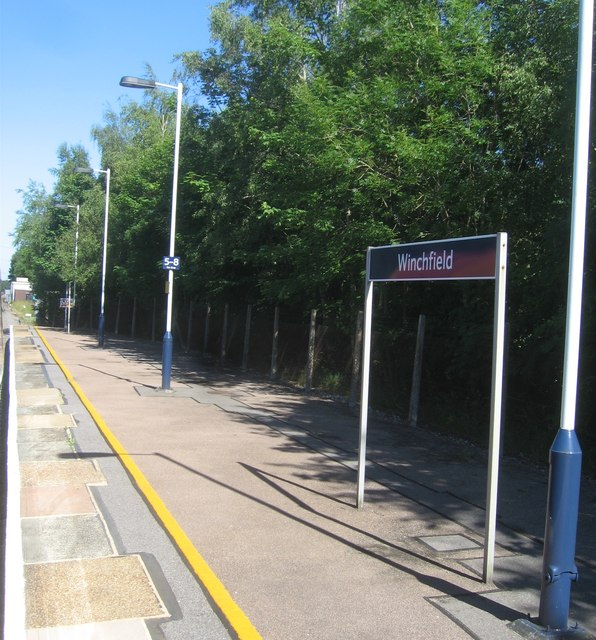
Winchfield
Winchfield is a small village in the Hart District of Hampshire in the South-East of England. It is situated 1 mile (1.6 km) south-west of Hartley Wintney...

Whitehall, Hampshire
Whitehall is a hamlet in the civil parish of Odiham in Hampshire, England. Its nearest town is Hook, approximately 3.5 miles (4.75 km) away.
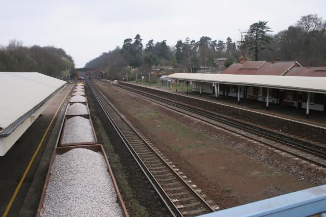
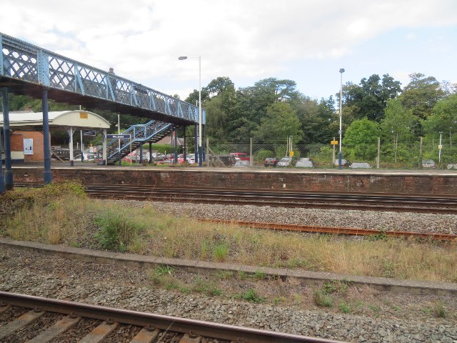
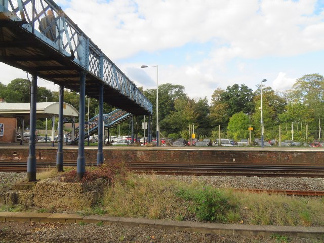
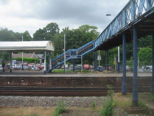
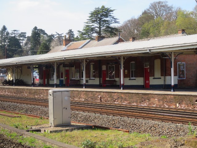
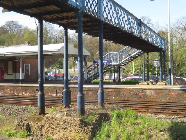
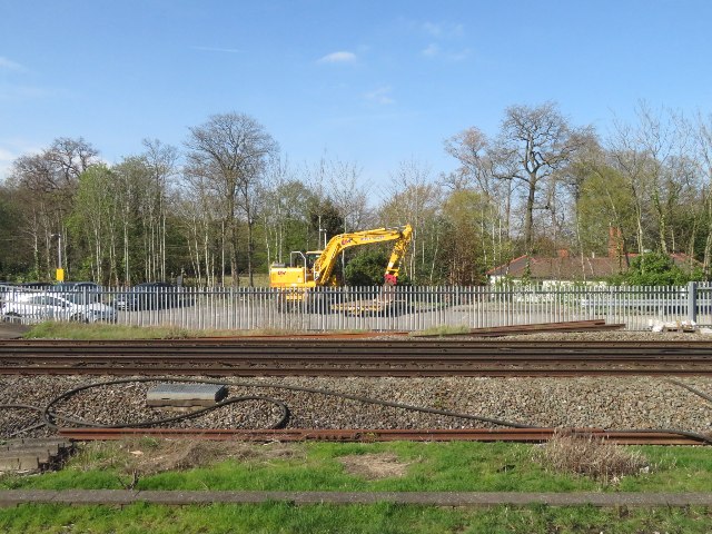
Winchfield railway station
Winchfield railway station is located in the small village of Winchfield and also serves Hartley Wintney and surrounding villages and towns such as Odiham...
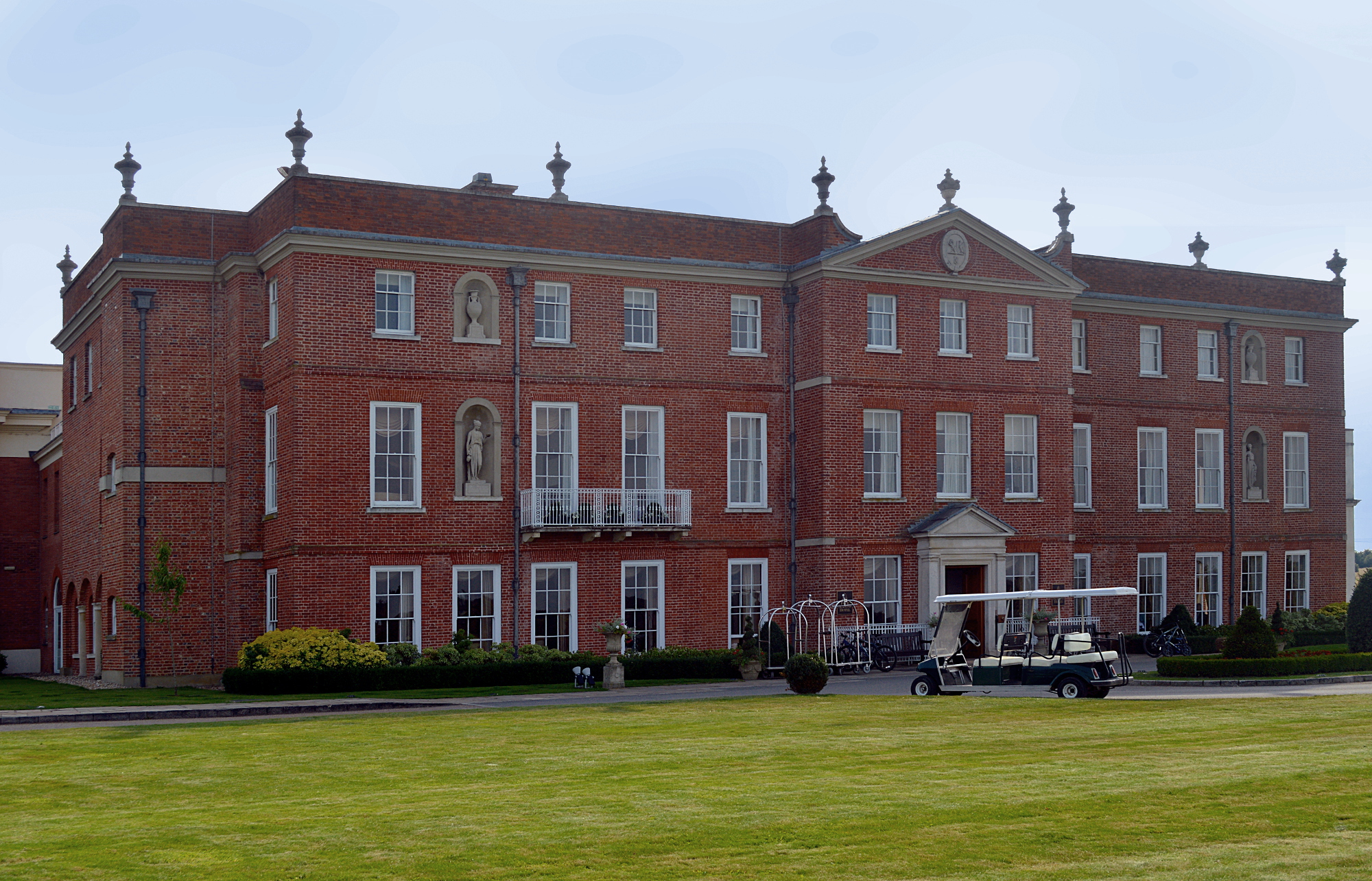
Dogmersfield Park
Dogmersfield Park or Dogmersfield House is a Grade I listed Georgian country house, now being used as a hotel. It is located in Dogmersfield, a small village...
Winchfield Green
Winchfield Green is a hamlet in the civil parish of Winchfield in Hampshire, England. Its nearest town is Fleet, which lies approximately 2 miles (3 km...
Andwells Brewery
Andwell Brewing Company was started by Adam Komrower in 2008, and was based at Lodge Farm behind Newlyns farmshop in North Warnborough, Hampshire, England...
Dogmersfield
Dogmersfield is a small village lying between the towns of Fleet and Hartley Wintney in Hampshire, England. The M3 motorway and railway stations at Fleet...
Odiham
Odiham () is a large historic village and civil parish in the Hart district of Hampshire, England. It is twinned with Sourdeval in the Manche Department...
Nearby Amenities
Located within 500m of 51.271784,-0.91080183Have you been to Bagwell Green?
Leave your review of Bagwell Green below (or comments, questions and feedback).