Hayley Green

Settlement in Worcestershire

England

Hayley Green

Footpath near Holt Farm This footpath seems fairly well used, but those that join it in this area less so.
Footpath near Holt Farm Credit: Paul Collins

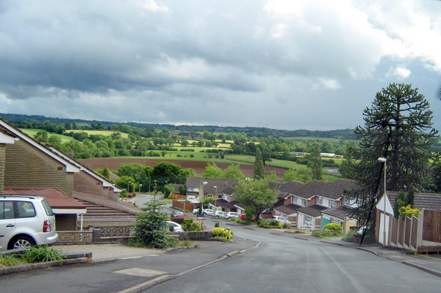
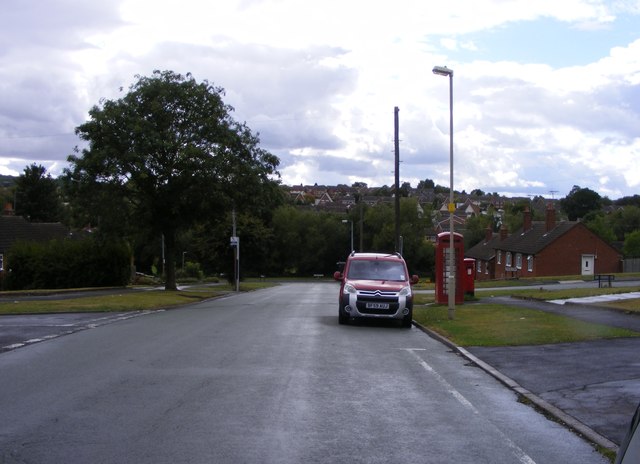
Hayley Green is a village located in the county of Worcestershire, England. Situated on the outskirts of the town of Halesowen, it is a small and close-knit community with a population of approximately 1,500 residents.

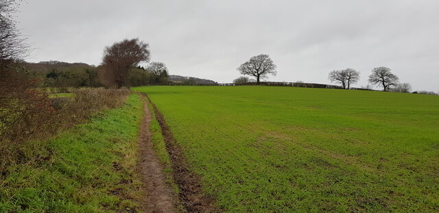
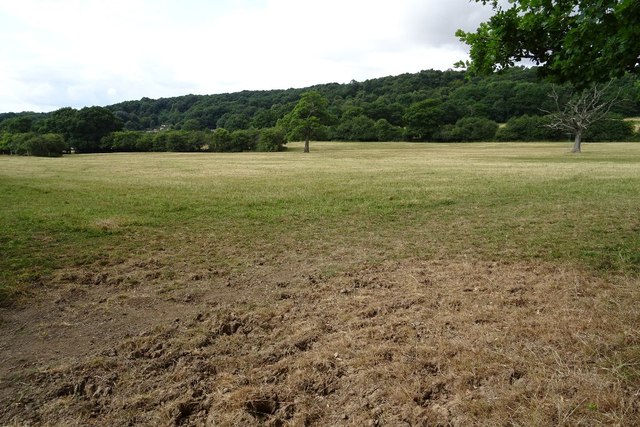
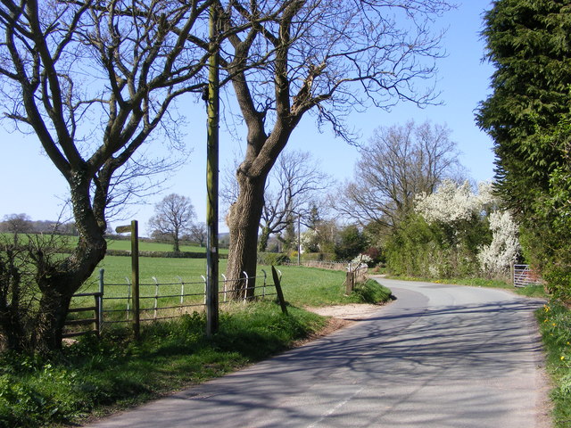
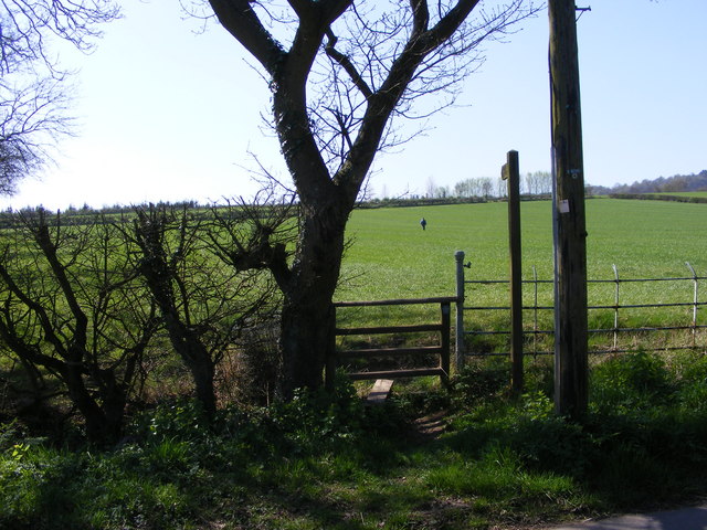
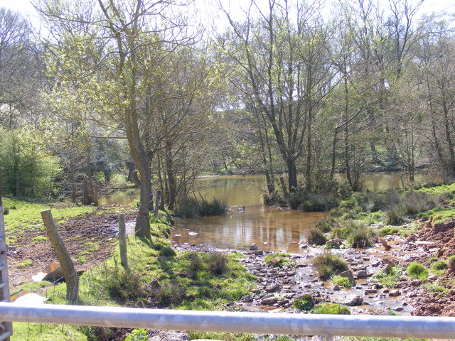
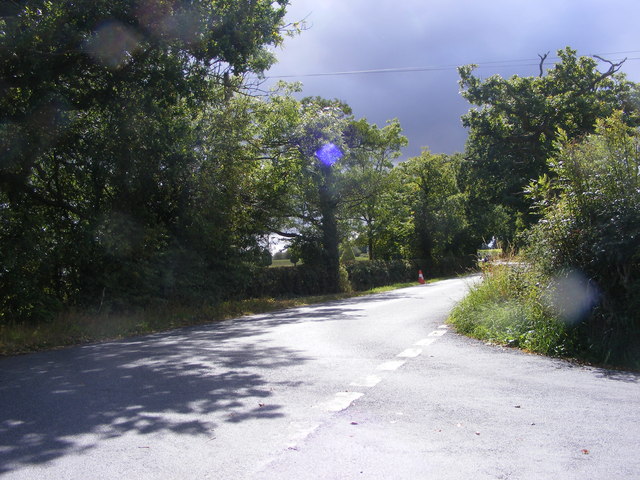
The village is surrounded by picturesque countryside, offering stunning views and a tranquil atmosphere. It is known for its peaceful and idyllic setting, making it an attractive place to live for those seeking a quieter lifestyle away from the hustle and bustle of larger towns and cities.

Hayley Green is well-connected to nearby towns and cities, with good transport links to Halesowen and Birmingham. This makes it a desirable location for commuters who work in the city but prefer a more rural living environment.

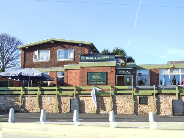
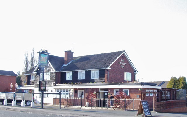
Within the village, there are a few local amenities, including a primary school, a post office, and a convenience store. Residents also benefit from nearby larger supermarkets and shopping centers in Halesowen for their everyday needs.

The village is proud of its sense of community and often holds various events and activities throughout the year, including summer fairs and Christmas markets. There are also several sports clubs and recreational facilities, promoting an active and healthy lifestyle for residents of all ages.

Overall, Hayley Green offers a peaceful and charming place to live, surrounded by natural beauty and a strong sense of community.

If you have any feedback on the listing, please let us know in the comments section below.
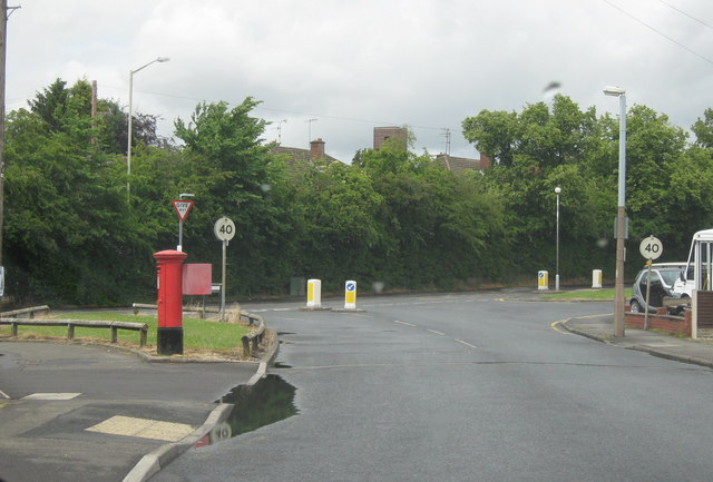
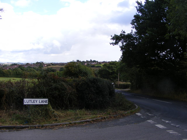
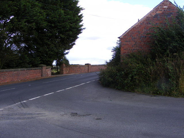
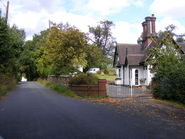
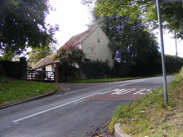
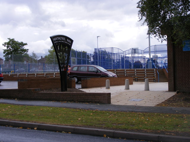
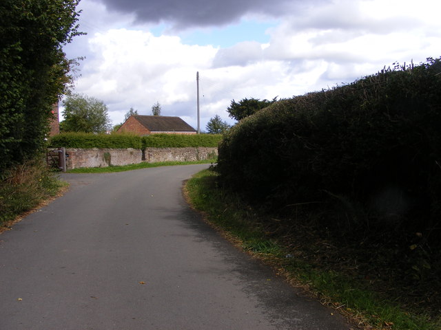
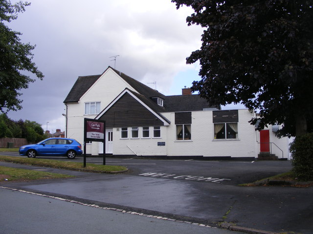
Hayley Green Images

Images are sourced within 2km of 52.434118/-2.080868 or Grid Reference SO9481. Thanks to Geograph Open Source API. All images are credited.

Footpath near Holt Farm This footpath seems fairly well used, but those that join it in this area less so.
Footpath near Holt Farm
This footpath seems fairly well used, but those that join it in this area less so.
Field and footpath, Romsley A footpath crosses this field near Romsley.
Field and footpath, Romsley
A footpath crosses this field near Romsley.
Hare & Hounds, Hasbury
The Hasbury Inn, Halesowen
Lane View The view up St Kenelms Road near the footpath junction towards Holt Farm.
Lane View
The view up St Kenelms Road near the footpath junction towards Holt Farm.
Stile View The view from St Kenelm's Road of the path towards Holt Farm near Romsley.
Stile View
The view from St Kenelm's Road of the path towards Holt Farm near Romsley.
Breach Farm Pool A Pool on farmland west of Romsley.
Breach Farm Pool
A Pool on farmland west of Romsley.
Halesowen - Pershore Road
Halesowen - Uffmoor Lane Looking Towards Hagley Road
Lutley Lane View The Lutley view on the edge of Halesowen.
Lutley Lane View
The Lutley view on the edge of Halesowen.
Wynall Lane South Junction The junction with Wassell Grove Road in Dudley.
Wynall Lane South Junction
The junction with Wassell Grove Road in Dudley.
The Lodge View The view along Wassell Grove Road near Lye, Dudley.
The Lodge View
The view along Wassell Grove Road near Lye, Dudley.
Lutley Lane Junction The view near Four Elms Farm, Lutley Dudley.
Lutley Lane Junction
The view near Four Elms Farm, Lutley Dudley.
Huntingtree Park The park off Huntingtree Road Hasbury near Halesowen.
Huntingtree Park
The park off Huntingtree Road Hasbury near Halesowen.
Lutley Lane The view at Lutley near Grange Farm on the south edge of Dudley.
Lutley Lane
The view at Lutley near Grange Farm on the south edge of Dudley.
The Maypole The Pub on the corner of Bassnage road and Foxhunt Road Halesowen.
The Maypole
The Pub on the corner of Bassnage road and Foxhunt Road Halesowen.
Bassnage Road The view down the Halesowen road near Leebank Road.
Bassnage Road
The view down the Halesowen road near Leebank Road.
Pedmore Lane Junction The view of the junction with Wassell Grove Road, near Hagley.
Pedmore Lane Junction
The view of the junction with Wassell Grove Road, near Hagley.
Show me another place!

Hayley Green is located at Grid Ref: SO9481 (Lat: 52.434118, Lng: -2.080868)

Unitary Authority: Dudley

Police Authority: West Midlands

What 3 Words

///bake.quench.copy. Near Romsley, Worcestershire

Nearby Locations

Hayley Green Bogs Wood

Related Wikis

Hayley Green, West Midlands

Hayley Green is a suburb of Halesowen in the Metropolitan Borough of Dudley, West Midlands, England, located to the south-west of Halesowen town centre...
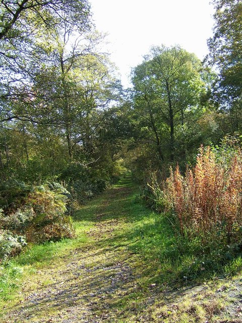
Uffmoor Wood

Uffmoor Wood is a semi-natural woodland in Worcestershire, in the English Midlands. It is one of over a thousand woods cared for by the Woodland Trust...

Hasbury

Hasbury is a suburb of Halesowen in the Metropolitan Borough of Dudley in West Midlands, England. Its main focal point is the small shopping centre at...

Lutley

Lutley is a hamlet near Halesowen in the Dudley district, in the county of the West Midlands, England. Lutley Mill is nearby in Halesowen and is also the...

Nearby Amenities

Located within 500m of 52.434118,-2.080868
Bus Stop
Lutley Lane / Mendip Rd
Bus: yes
Naptan AtcoCode: 43000809501
Naptan Bearing: N
Naptan BusStopType: MKD
Naptan CommonName: Mendip Rd
Naptan Indicator: opp
Naptan NaptanCode: nwmdjmdj
Naptan PlusbusZoneRef: BHAMNWS
Naptan Status: ACT
Naptan StopType: BCT
Naptan Street: LUTLEY LANE
Naptan Towards: Halesowen (via Highfield Lane)
Public Transport: platform
Route Ref: 244
Shelter: no
Source: WMCA
Lat/Long: 52.4368752/-2.0860174
Bus Stop
Lutley Lane / Mendip Rd
NaPTANAreaCode: 43000809502
Bus: yes
Naptan AtcoCode: 43000809502
Naptan Bearing: S
Naptan BusStopType: MKD
Naptan CommonName: Mendip Rd
Naptan Indicator: adj
Naptan NaptanCode: nwmdjmdm
Naptan PlusbusZoneRef: BHAMNWS
Naptan Status: ACT
Naptan StopType: BCT
Naptan Street: LUTLEY LANE
Naptan Towards: Halesowen
Public Transport: platform
Route Ref: 4H
Shelter: yes
Shelter Ref: 408531
Source: WMCA
Lat/Long: 52.4367271/-2.0859294
Bus Stop
Hagley Rd / Waugh Drive
Bench: no
Bin: no
Bus: yes
Naptan AtcoCode: 43000809801
Naptan Bearing: SW
Naptan BusStopType: MKD
Naptan CommonName: Waugh Drive
Naptan Indicator: adj
Naptan NaptanCode: nwmdjmdt
Naptan PlusbusZoneRef: BHAMNWS
Naptan Status: ACT
Naptan StopType: BCT
Naptan Street: HAGLEY RD
Naptan Towards: Hagley
Naptan Verified: no
Public Transport: platform
Route Ref: 192;192A;244
Shelter: no
Source: WMCA
Lat/Long: 52.4358935/-2.080345
Bus Stop
Hagley Rd / Waugh Drive
Bus: yes
Naptan AtcoCode: 43000809802
Naptan Bearing: NE
Naptan BusStopType: MKD
Naptan CommonName: Waugh Drive
Naptan Indicator: opp
Naptan NaptanCode: nwmdjmdw
Naptan PlusbusZoneRef: BHAMNWS
Naptan Status: ACT
Naptan StopType: BCT
Naptan Street: HAGLEY RD
Naptan Towards: Halesowen
Naptan Verified: no
Public Transport: platform
Route Ref: 4H;192;192A
Source: WMCA
Lat/Long: 52.4356855/-2.0820804
Toll House Store
Brand: Spar
Brand Wikidata: Q610492
Brand Wikipedia: en:Spar (retailer)
Shop: convenience
Source: survey
Website: https://www.spar.co.uk/store-locator/afb15908-spar-hayley-green/
Lat/Long: 52.4352019/-2.0865021
Turning Circle
Lat/Long: 52.4366593/-2.0856281
Barrier: stile
Foot: yes
Source: survey
Lat/Long: 52.4347081/-2.0866435
Waugh Drive
Naptan AtcoCode: 2000G503067
Naptan Bearing: NE
Naptan CommonName: Waugh Drive
Naptan Crossing: Waugh Drive
Naptan Indicator: Opp
Naptan NaptanCode: wocdtpaw
Naptan PlusbusZoneRef: BHAMNWS
Naptan Street: Hagley Road
Naptan Verified: no
Source: naptan_import
Lat/Long: 52.4358387/-2.0815511
Hagley Road
Naptan AtcoCode: 2000G503070
Naptan Bearing: SW
Naptan CommonName: Hagley Road
Naptan Indicator: opp
Naptan Landmark: Hayley Green Farm
Naptan NaptanCode: wocdtpdj
Naptan PlusbusZoneRef: BHAMNWS
Naptan Street: Manor Way
Naptan Verified: no
Source: naptan_import
Lat/Long: 52.436281/-2.0788453
Hayley Green
Is In: Dudley;West Midlands;England;UK;EU
Place: village
Source: OOC 1:25K
Wikidata: Q5686830
Lat/Long: 52.4377237/-2.0808994
Post Box
Postal Code: B63
Ref: B63 88
Source: GPS Survey
Lat/Long: 52.4371819/-2.0776052
Addr City: Halesowen
Addr Housenumber: 40
Addr Postcode: B63 1DN
Addr Street: St Kenelms Avenue
Source: survey
Lat/Long: 52.4373842/-2.0759212
Power: pole
Lat/Long: 52.4325293/-2.0853704
Power: pole
Lat/Long: 52.4315625/-2.0858476
Power: pole
Lat/Long: 52.432278/-2.085748
Power: pole
Lat/Long: 52.4318808/-2.0863555
Power: pole
Lat/Long: 52.4309245/-2.085962
Bus Stop
Hagley Rd / Lutley Lane
Bus: yes
Naptan AtcoCode: 43000809702
Naptan Bearing: W
Naptan BusStopType: MKD
Naptan CommonName: Lutley Lane
Naptan NaptanCode: nwmtmjwg
Naptan Status: ACT
Naptan StopType: BCT
Naptan Street: HAGLEY RD
Naptan Towards: Hagley
Public Transport: platform
Route Ref: 192;192A
Source: WMCA
Lat/Long: 52.4349292/-2.0850774
Bus Stop
Hagley Rd / Lutley Lane
Bench: no
Bus: yes
Naptan AtcoCode: 43000809701
Naptan Bearing: E
Naptan BusStopType: MKD
Naptan CommonName: Lutley Lane
Naptan NaptanCode: nwmdjmdp
Naptan Status: ACT
Naptan StopType: BCT
Naptan Street: HAGLEY RD
Naptan Towards: Halesowen
Passenger Information Display: no
Public Transport: platform
Route Ref: 4H;192;192A
Shelter: no
Source: WMCA;survey
Surface: asphalt
Lat/Long: 52.4351722/-2.0847837
Generator Method: photovoltaic
Generator Output Electricity: yes
Generator Source: solar
Generator Type: solar_photovoltaic_panel
Location: roof
Power: generator
Lat/Long: 52.4382989/-2.0803669
Generator Method: photovoltaic
Generator Output Electricity: yes
Generator Source: solar
Generator Type: solar_photovoltaic_panel
Location: roof
Power: generator
Lat/Long: 52.437241/-2.0835252
Generator Method: photovoltaic
Generator Output Electricity: yes
Generator Source: solar
Generator Type: solar_photovoltaic_panel
Location: roof
Power: generator
Lat/Long: 52.4367006/-2.0842347
Generator Method: photovoltaic
Generator Output Electricity: yes
Generator Source: solar
Generator Type: solar_photovoltaic_panel
Location: roof
Power: generator
Lat/Long: 52.4366662/-2.0844117
Generator Method: photovoltaic
Generator Output Electricity: yes
Generator Source: solar
Generator Type: solar_photovoltaic_panel
Location: roof
Power: generator
Lat/Long: 52.4368739/-2.0849267
Generator Method: photovoltaic
Generator Output Electricity: yes
Generator Source: solar
Generator Type: solar_photovoltaic_panel
Location: roof
Power: generator
Lat/Long: 52.43725/-2.0845056
Generator Method: photovoltaic
Generator Output Electricity: yes
Generator Source: solar
Generator Type: solar_photovoltaic_panel
Location: roof
Power: generator
Lat/Long: 52.437595/-2.0842212
Generator Method: photovoltaic
Generator Output Electricity: yes
Generator Source: solar
Generator Type: solar_photovoltaic_panel
Location: roof
Power: generator
Lat/Long: 52.4370816/-2.0796105
Generator Method: photovoltaic
Generator Output Electricity: yes
Generator Source: solar
Generator Type: solar_photovoltaic_panel
Location: roof
Power: generator
Lat/Long: 52.4380872/-2.0779663
The data included in this document is from www.openstreetmap.org. The data is made available under ODbL.

Have you been to Hayley Green?

Leave your review of Hayley Green below (or comments, questions and feedback).