Bogs Wood

Wood, Forest in Worcestershire Bromsgrove

England

Bogs Wood

Walton Hill Path along the summit ridge of Walton Hill, highest (315 metres above sea level) of the Clent Hills.
Walton Hill Credit: Stephen Dawson

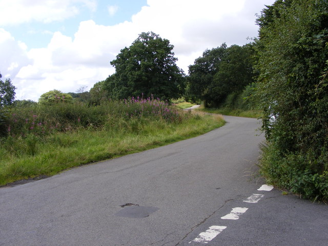
Bogs Wood is a beautiful forest located in Worcestershire, England. Covering an area of approximately 300 acres, this woodland is known for its diverse ecosystem and stunning natural scenery. The forest is situated near the town of Kidderminster, providing easy access for visitors.

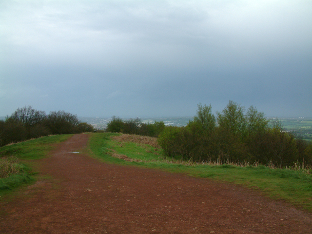
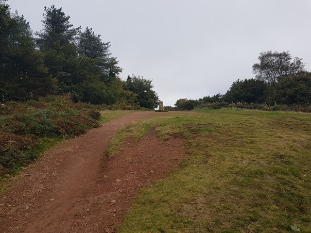
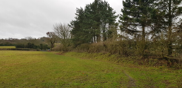
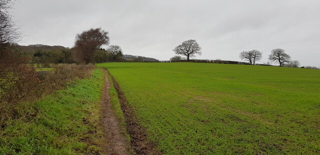
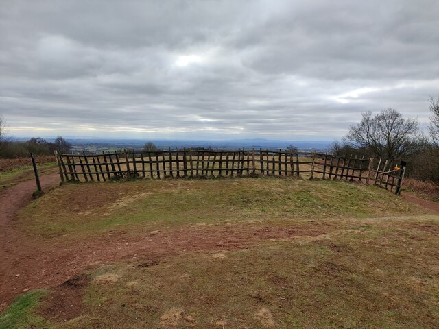
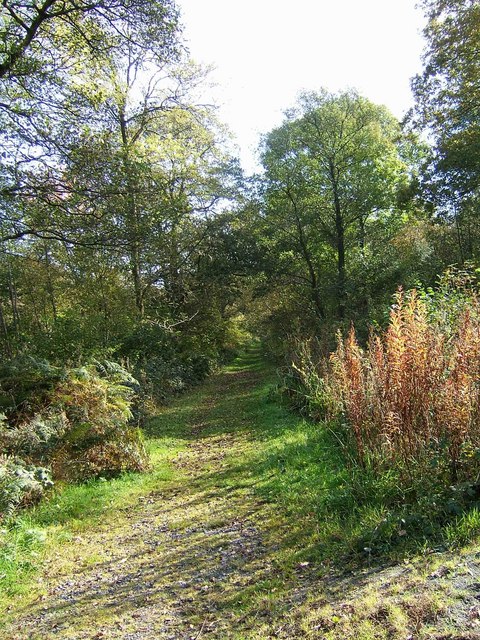
Bogs Wood is characterized by its dense canopy of broadleaf trees, including oak, ash, and beech. These towering trees create a tranquil and shaded environment, perfect for those seeking a peaceful retreat. The forest floor is covered in a thick layer of leaf litter, making it a haven for various plant species and small animals.

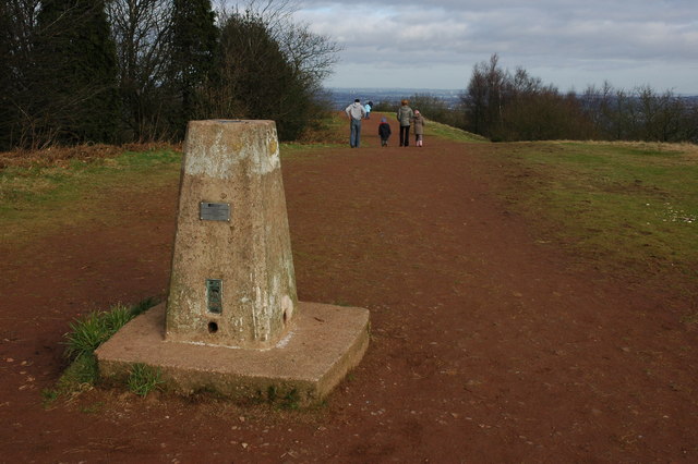
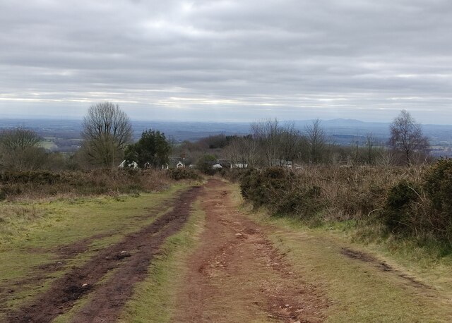
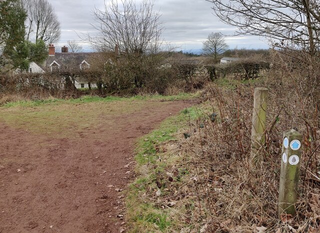
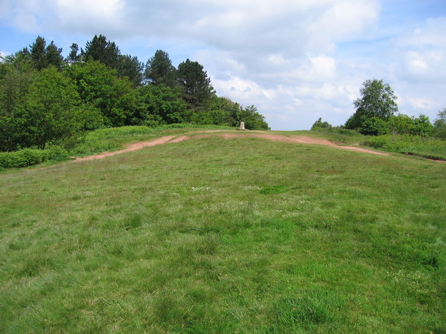
The wood is intersected by several footpaths, allowing visitors to explore its enchanting beauty. These trails wind through ancient woodland and alongside babbling brooks, providing a serene and immersive experience. Nature enthusiasts can spot a wide variety of wildlife in Bogs Wood, including deer, foxes, badgers, and a plethora of bird species.

Additionally, the forest boasts a diverse range of plant life, with wildflowers, ferns, and mosses carpeting the forest floor. The vibrant colors and scents of the various flora make Bogs Wood a photographer's dream.

Bogs Wood is not only a natural haven but also plays an important role in the local ecosystem. It provides a vital habitat for many species, contributing to the overall biodiversity of Worcestershire.

Overall, Bogs Wood offers a truly immersive experience in nature, with its stunning woodland, abundant wildlife, and peaceful atmosphere. It is a must-visit destination for anyone looking to reconnect with the beauty of the natural world.

If you have any feedback on the listing, please let us know in the comments section below.
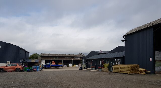
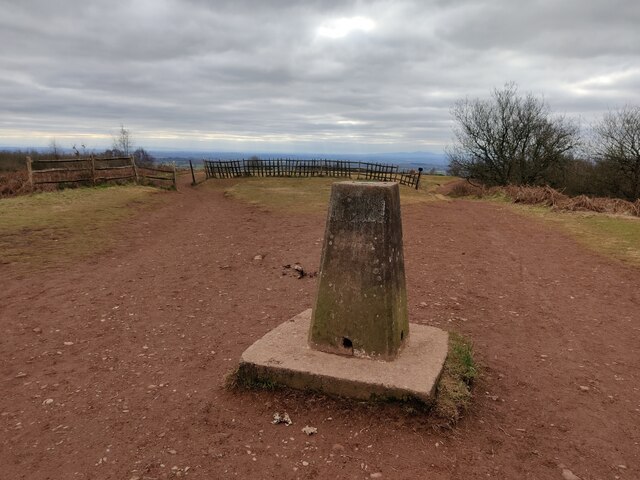
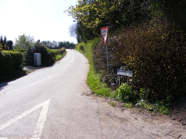
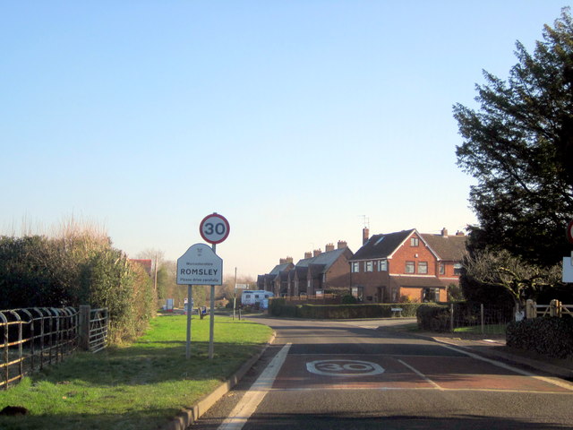
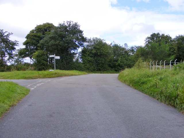
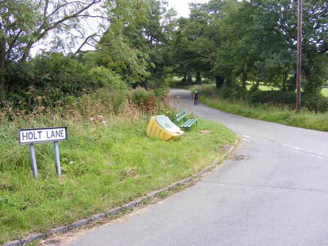
Bogs Wood Images

Images are sourced within 2km of 52.431108/-2.0827756 or Grid Reference SO9481. Thanks to Geograph Open Source API. All images are credited.

Walton Hill Path along the summit ridge of Walton Hill, highest (315 metres above sea level) of the Clent Hills.
Walton Hill
Path along the summit ridge of Walton Hill, highest (315 metres above sea level) of the Clent Hills.
Trig point on Walton Hill The trig point on Walton Hill is 315m above sea level.
Trig point on Walton Hill
The trig point on Walton Hill is 315m above sea level.
Junction of St. Kenelm's Road with Dark Lane Dark Lane is coming in on the left. Most of the built-up area of the village of Romsley is contained within a triangle, formed by these two roads and Bromsgrover Road (the B4551).
Junction of St. Kenelm's Road with Dark Lane
Dark Lane is coming in on the left. Most of the built-up area of the village of Romsley is contained within a triangle, formed by these two roads and Bromsgrover Road (the B4551).
Trig point on Walton Hill
Romsley Country Store, St Kenelm's Road, Romsley
Footpath near Fieldhouse Lane Here the public footpath approaches Romsley and at the gate in the distance crosses Fieldhouse Lane at the gate.
Footpath near Fieldhouse Lane
Here the public footpath approaches Romsley and at the gate in the distance crosses Fieldhouse Lane at the gate.
Footpath near Holt Farm This footpath seems fairly well used, but those that join it in this area less so.
Footpath near Holt Farm
This footpath seems fairly well used, but those that join it in this area less so.
Trig Point on Walton Hill At 316 metres (1,037 ft) above sea level, Walton Hill is the highest point of the Clent Hills, it is part of the Clent Hills Country Park owned by the National Trust.
Trig Point on Walton Hill
At 316 metres (1,037 ft) above sea level, Walton Hill is the highest point of the Clent Hills, it is part of the Clent Hills Country Park owned by the National Trust.
Fence on the summit of Walton Hill At 316 metres (1,037 ft) above sea level, Walton Hill is the highest point of the Clent Hills, it is part of the Clent Hills Country Park owned by the National Trust.
Fence on the summit of Walton Hill
At 316 metres (1,037 ft) above sea level, Walton Hill is the highest point of the Clent Hills, it is part of the Clent Hills Country Park owned by the National Trust.
North Worcestershire Path on Walton Hill Heading towards Waltonhill Farm.
At 316 metres (1,037 ft) above sea level, Walton Hill is the highest point of the Clent Hills, it is part of the Clent Hills Country Park owned by the National Trust.
North Worcestershire Path on Walton Hill
Heading towards Waltonhill Farm. At 316 metres (1,037 ft) above sea level, Walton Hill is the highest point of the Clent Hills, it is part of the Clent Hills Country Park owned by the National Trust.
North Worcestershire Path at Waltonhill Farm At 316 metres (1,037 ft) above sea level, Walton Hill is the highest point of the Clent Hills, it is part of the Clent Hills Country Park owned by the National Trust.
North Worcestershire Path at Waltonhill Farm
At 316 metres (1,037 ft) above sea level, Walton Hill is the highest point of the Clent Hills, it is part of the Clent Hills Country Park owned by the National Trust.
Entering Romsley The view in St Kenelm's Road near Romsley.
Entering Romsley
The view in St Kenelm's Road near Romsley.
Fieldhouse Lane View The view from St Kenelm's Road up the Lane near Romsley.
Fieldhouse Lane View
The view from St Kenelm's Road up the Lane near Romsley.
Romsley St Kenelm's Road Village Sign
Whitehall Farm Junction The junction of Spring Lane, Fieldhouse Lane and Shut Mill Lane in the Clent Hills, Worcestershire.
Whitehall Farm Junction
The junction of Spring Lane, Fieldhouse Lane and Shut Mill Lane in the Clent Hills, Worcestershire.
Holt Lane View The view to Fieldhouse Lane in the Clent Hills, Worcestershire.
Holt Lane View
The view to Fieldhouse Lane in the Clent Hills, Worcestershire.
Fieldhouse Lane The view from Holt Lane junction in the Clent Hills, Worcestershire.
Fieldhouse Lane
The view from Holt Lane junction in the Clent Hills, Worcestershire.
Walton Hill Easy tick from handy car park with good views of West Midlands.
Name: Walton Hill
Hill number: 2870
Height: 316m / 1037ft
Area: 39: Central and Eastern England
Class: Ma
Grid ref: SO 94260 79808
Summit feature: no feature 5 metres N of trig point
Drop: 210m
Col: 106m  SO890996
Walton Hill
Easy tick from handy car park with good views of West Midlands. Name: Walton Hill Hill number: 2870 Height: 316m / 1037ft Area: 39: Central and Eastern England Class: Ma Grid ref: SO 94260 79808 Summit feature: no feature 5 metres N of trig point Drop: 210m Col: 106m SO890996
Show me another place!

Bogs Wood is located at Grid Ref: SO9481 (Lat: 52.431108, Lng: -2.0827756)

Administrative County: Worcestershire

District: Bromsgrove

Police Authority: West Mercia

What 3 Words

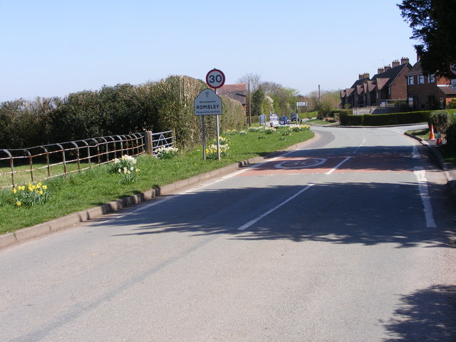
///rocky.pies.league. Near Romsley, Worcestershire

Nearby Locations

Bogs Wood Hayley Green

Related Wikis

Uffmoor Wood

Uffmoor Wood is a semi-natural woodland in Worcestershire, in the English Midlands. It is one of over a thousand woods cared for by the Woodland Trust...

Hayley Green, West Midlands

Hayley Green is a suburb of Halesowen in the Metropolitan Borough of Dudley, West Midlands, England, located to the south-west of Halesowen town centre...

Lutley

Lutley is a hamlet near Halesowen in the Dudley district, in the county of the West Midlands, England. Lutley Mill is nearby in Halesowen and is also the...

Hasbury

Hasbury is a suburb of Halesowen in the Metropolitan Borough of Dudley in West Midlands, England. Its main focal point is the small shopping centre at...

Castle in Hagley Park

The folly castle in the park of Hagley Hall is a Grade II* listed building and the largest building in Hagley Park. It was designed by Sanderson Miller...

Clent Hills

The Clent Hills lie 10 miles (16 km) south-west of Birmingham city centre in Clent, Worcestershire, England. The closest towns are Stourbridge and Halesowen...

Walton Hill

At 316 metres (1,037 ft) above sea level, Walton Hill is the highest point in the range of hills in northern Worcestershire known as the Clent Hills. It...

Hunnington

Hunnington is a village and civil parish in the Bromsgrove District of Worcestershire, England, close to the border with West Midlands, and just south...

Nearby Amenities

Located within 500m of 52.431108,-2.0827756
Barrier: kissing_gate
Foot: yes
Source: survey
Lat/Long: 52.429216/-2.0877695
Barrier: kissing_gate
Foot: yes
Source: survey
Lat/Long: 52.4302452/-2.0873137
Barrier: stile
Foot: yes
Source: survey
Lat/Long: 52.4347081/-2.0866435
Man Made: manhole
Manhole: water
Lat/Long: 52.4304563/-2.0894434
Power: pole
Lat/Long: 52.4325293/-2.0853704
Power: pole
Lat/Long: 52.4315625/-2.0858476
Power: pole
Lat/Long: 52.432278/-2.085748
Power: pole
Lat/Long: 52.4318808/-2.0863555
Power: pole
Lat/Long: 52.4309245/-2.085962
Power: pole
Lat/Long: 52.4306825/-2.0890088
Power: pole
Lat/Long: 52.4315193/-2.0869155
Power: pole
Lat/Long: 52.4310429/-2.0883735
Power: pole
Lat/Long: 52.4312953/-2.0876112
Bus Stop
Hagley Rd / Lutley Lane
Bus: yes
Naptan AtcoCode: 43000809702
Naptan Bearing: W
Naptan BusStopType: MKD
Naptan CommonName: Lutley Lane
Naptan NaptanCode: nwmtmjwg
Naptan Status: ACT
Naptan StopType: BCT
Naptan Street: HAGLEY RD
Naptan Towards: Hagley
Public Transport: platform
Route Ref: 192;192A
Source: WMCA
Lat/Long: 52.4349292/-2.0850774
Bus Stop
Hagley Rd / Lutley Lane
Bench: no
Bus: yes
Naptan AtcoCode: 43000809701
Naptan Bearing: E
Naptan BusStopType: MKD
Naptan CommonName: Lutley Lane
Naptan NaptanCode: nwmdjmdp
Naptan Status: ACT
Naptan StopType: BCT
Naptan Street: HAGLEY RD
Naptan Towards: Halesowen
Passenger Information Display: no
Public Transport: platform
Route Ref: 4H;192;192A
Shelter: no
Source: WMCA;survey
Surface: asphalt
Lat/Long: 52.4351722/-2.0847837
Power: pole
Source: bing
Lat/Long: 52.4268328/-2.0845981
Power: pole
Source: bing
Lat/Long: 52.4269604/-2.0842615
Power: pole
Source: bing
Lat/Long: 52.4273971/-2.0847818
Power: pole
Ref: 735166
Source: wpd_open_data
Transformer: distribution
Lat/Long: 52.4279957/-2.0854792
Power: pole
Source: bing
Lat/Long: 52.4284814/-2.0860103
Power: pole
Source: bing
Lat/Long: 52.4291618/-2.0861954
Power: pole
Source: bing
Lat/Long: 52.4301806/-2.0861283
The data included in this document is from www.openstreetmap.org. The data is made available under ODbL.

Have you been to Bogs Wood?

Leave your review of Bogs Wood below (or comments, questions and feedback).