Acres
Downs, Moorland in Yorkshire Ryedale
England
Acres
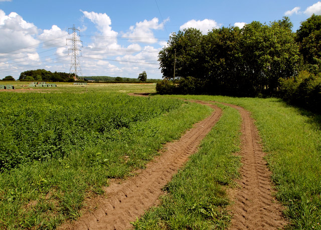
Acres, Yorkshire, is a picturesque region located in the northern part of England, known for its stunning scenery and diverse landscapes. Nestled between the Yorkshire Downs and Moorland, Acres offers a unique blend of natural beauty and rural charm.
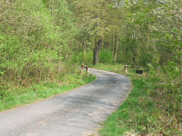
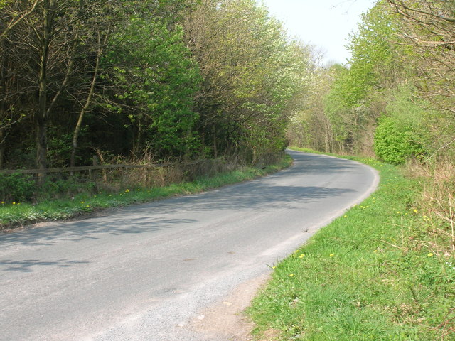
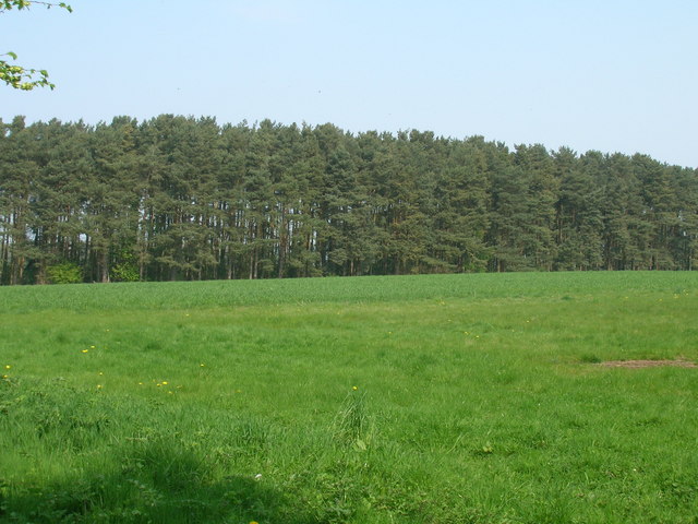
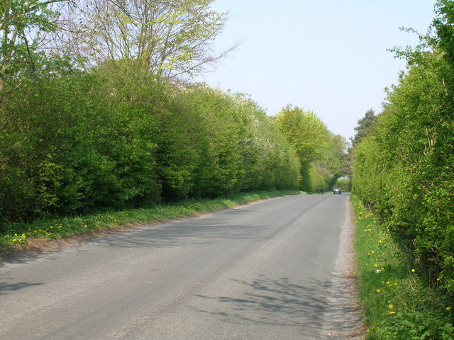
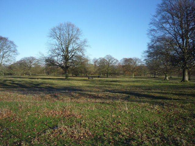
The Yorkshire Downs, which encompass a large portion of Acres, are characterized by rolling hills, vast meadows, and ancient woodlands. This area is a haven for outdoor enthusiasts, providing numerous opportunities for hiking, cycling, and horseback riding. Visitors can enjoy breathtaking views of the surrounding countryside and immerse themselves in the tranquility of nature.
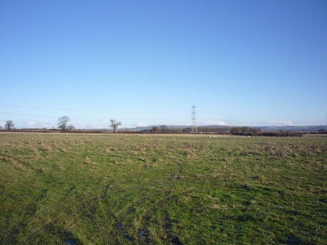
Adjacent to the Yorkshire Downs, the Moorland of Acres showcases a different side of the region. With its rugged terrain, heather-covered hills, and expansive peat bogs, the Moorland is a dramatic and wild landscape. It is home to a variety of plant and animal species, including rare birds such as the red grouse and curlew.
Acres is also dotted with charming villages and towns, where visitors can experience the local culture and hospitality. These communities offer quaint shops, traditional pubs, and cozy accommodations, providing a warm welcome to visitors.
Overall, Acres, Yorkshire, offers a diverse range of natural landscapes, from the rolling hills of the Yorkshire Downs to the rugged beauty of the Moorland. With its picturesque scenery and rural charm, it is a destination that appeals to nature lovers, outdoor enthusiasts, and those seeking a peaceful retreat.
If you have any feedback on the listing, please let us know in the comments section below.
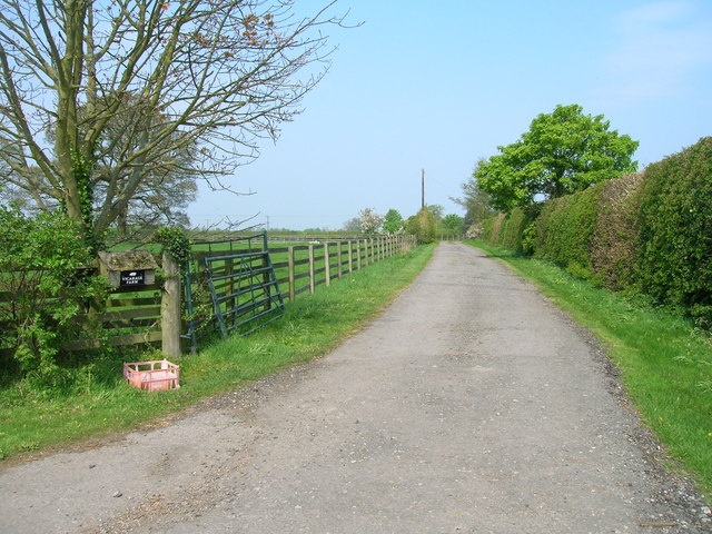
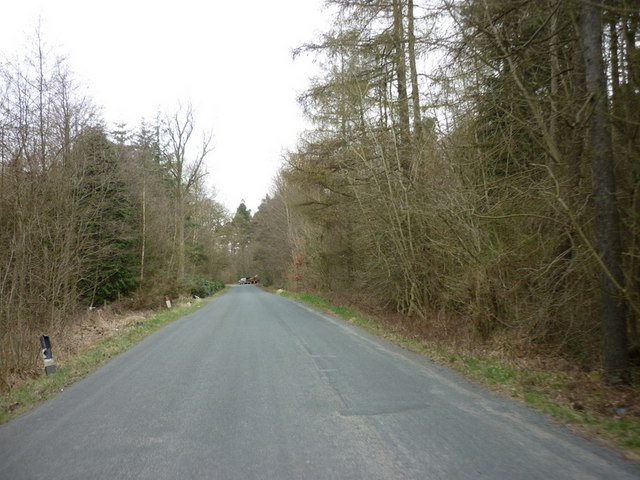
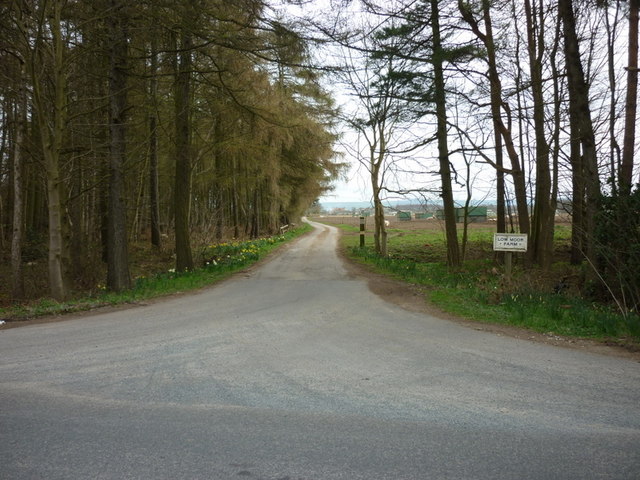
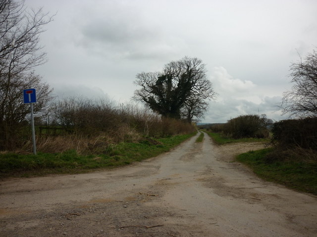
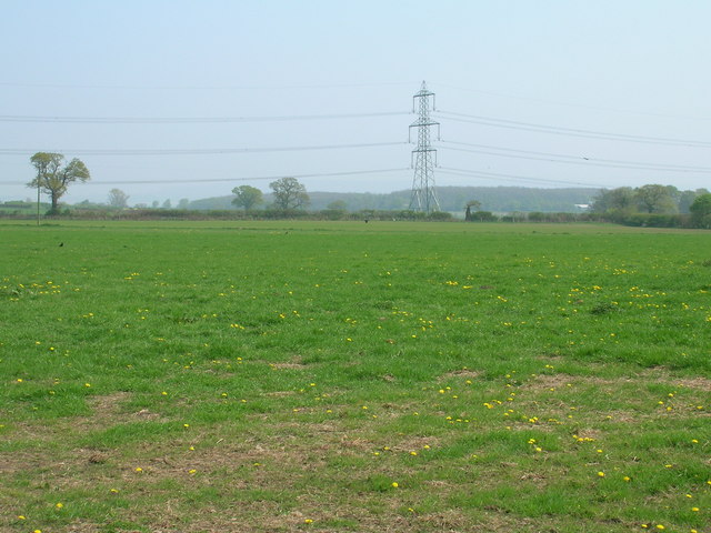
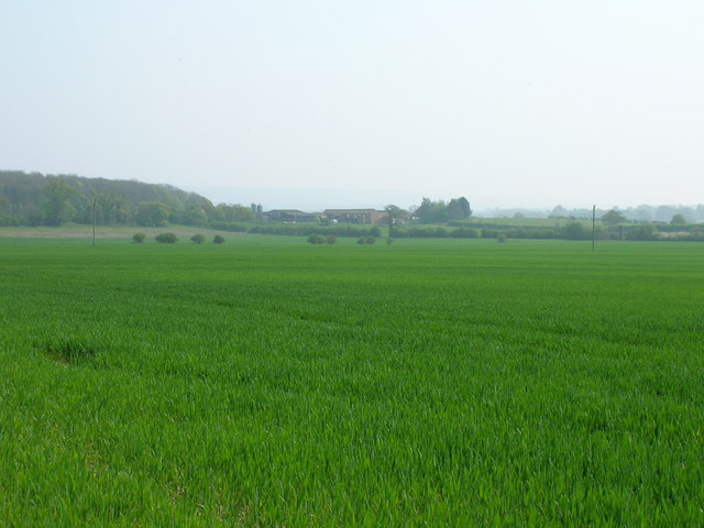
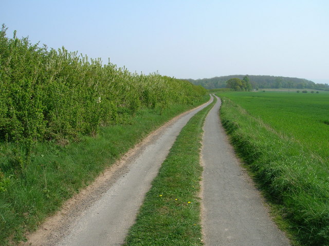
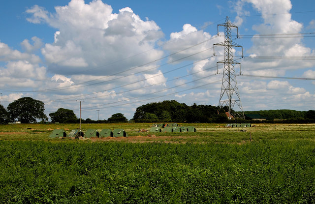
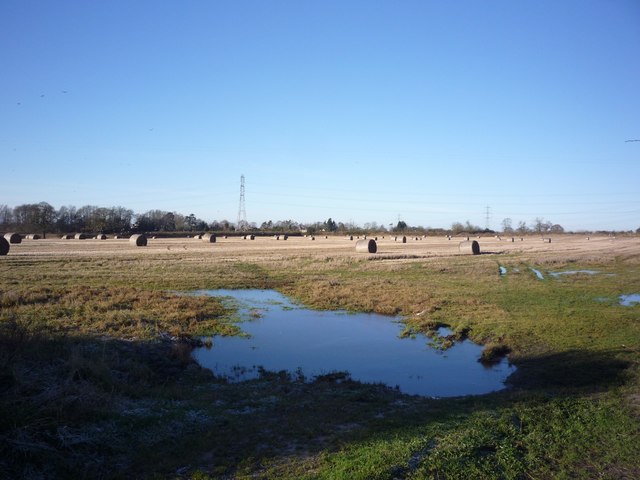
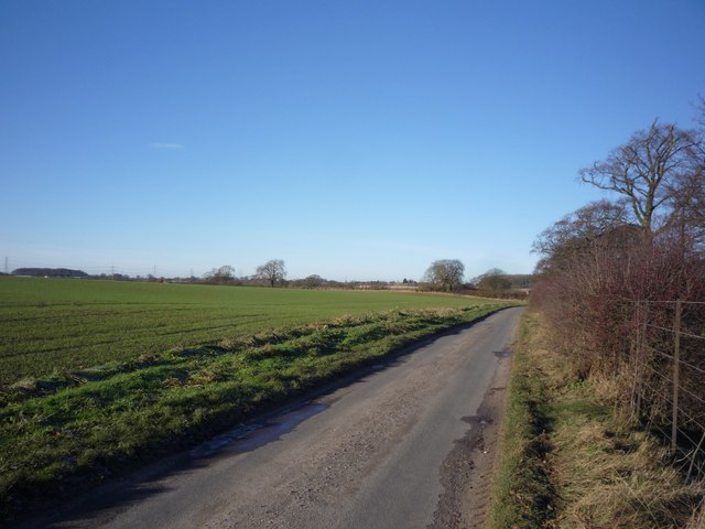
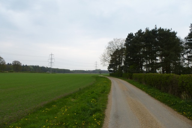
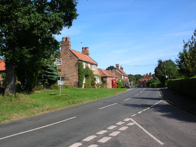
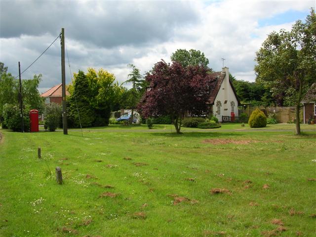
Acres Images
Images are sourced within 2km of 54.023374/-0.91460101 or Grid Reference SE7159. Thanks to Geograph Open Source API. All images are credited.
Acres is located at Grid Ref: SE7159 (Lat: 54.023374, Lng: -0.91460101)
Division: North Riding
Administrative County: North Yorkshire
District: Ryedale
Police Authority: North Yorkshire
What 3 Words
///multiples.egging.bathtubs. Near Stamford Bridge, East Yorkshire
Nearby Locations
Related Wikis
Sand Hutton
Sand Hutton is a village and civil parish which forms the larger part of the Claxton and Sand Hutton grouped parish council, in North Yorkshire, England...

Sand Hutton Miniature Railway
The Sand Hutton Miniature Railway was a miniature gauge estate railway serving the estate of Sir Robert Walker, the Fourth Baronet of Sand Hutton, Yorkshire...
Bossall
Bossall is a hamlet in North Yorkshire, England with fewer than 100 residents. The village was part of the Ryedale district between 1974 and 2023. It is...

Aldby Park
Aldby Park is a country estate in the village of Buttercrambe near the village of Stamford Bridge in the East Riding of Yorkshire, England. The house,...
Claxton, North Yorkshire
Claxton is a village and part of the Claxton & Sand Hutton civil parish in North Yorkshire, England. It is near the A64 road and 8 miles (13 km) north...

Scrayingham
Scrayingham is a village and civil parish in North Yorkshire, England. It was historically part of the East Riding of Yorkshire until 1974. The population...
Buttercrambe Castle
Buttercrambe Castle was in the village of Buttercrambe in North Yorkshire, England. This was possibly a medieval motte-and-bailey castle. The bailey has...

Buttercrambe
Buttercrambe is a small village in the Buttercrambe with Bossall civil parish, in North Yorkshire, England.The village is situated approximately 8 miles...
Nearby Amenities
Located within 500m of 54.023374,-0.91460101Have you been to Acres?
Leave your review of Acres below (or comments, questions and feedback).