Horndean Down
Downs, Moorland in Hampshire East Hampshire
England
Horndean Down
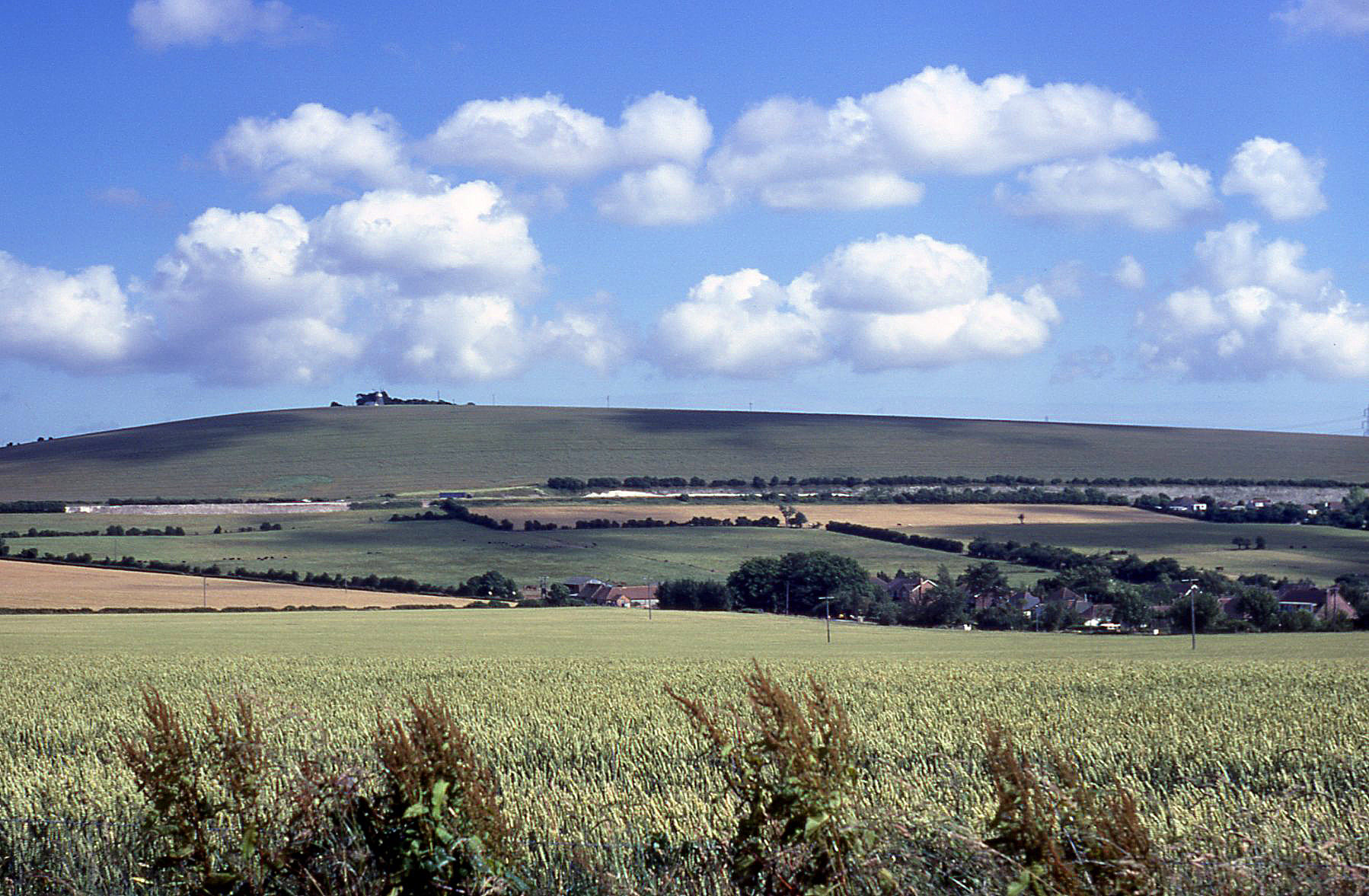
Horndean Down is a picturesque area located in the county of Hampshire, England. It is part of the larger South Downs National Park, known for its stunning landscapes and diverse wildlife. The Down is situated near the village of Horndean, and it encompasses a mix of downs and moorland.
The terrain of Horndean Down is characterized by rolling hills and expansive open spaces. The area is primarily made up of chalk grassland, which provides a unique habitat for a variety of plant and animal species. Wildflowers such as orchids and cowslips can be found here, creating a vibrant and colorful landscape during the spring and summer months.
The Down is also home to a range of wildlife, including birds, butterflies, and small mammals. It is a popular spot for birdwatching, with species such as skylarks, kestrels, and yellowhammers often spotted in the area. The moorland areas provide a habitat for reptiles such as adders and lizards.
Visitors to Horndean Down can enjoy a range of outdoor activities, including walking, cycling, and horse riding. There are several well-marked trails that allow visitors to explore the area and take in the stunning views. The Down is also a popular spot for picnicking and enjoying the peaceful surroundings.
Overall, Horndean Down offers a tranquil and scenic escape for nature lovers and outdoor enthusiasts. Its diverse landscapes, rich wildlife, and recreational opportunities make it a popular destination for locals and tourists alike.
If you have any feedback on the listing, please let us know in the comments section below.
Horndean Down Images
Images are sourced within 2km of 50.933689/-0.98809295 or Grid Reference SU7115. Thanks to Geograph Open Source API. All images are credited.


Horndean Down is located at Grid Ref: SU7115 (Lat: 50.933689, Lng: -0.98809295)
Administrative County: Hampshire
District: East Hampshire
Police Authority: Hampshire
What 3 Words
///rapid.awakening.crackled. Near Cowplain, Hampshire
Nearby Locations
Related Wikis
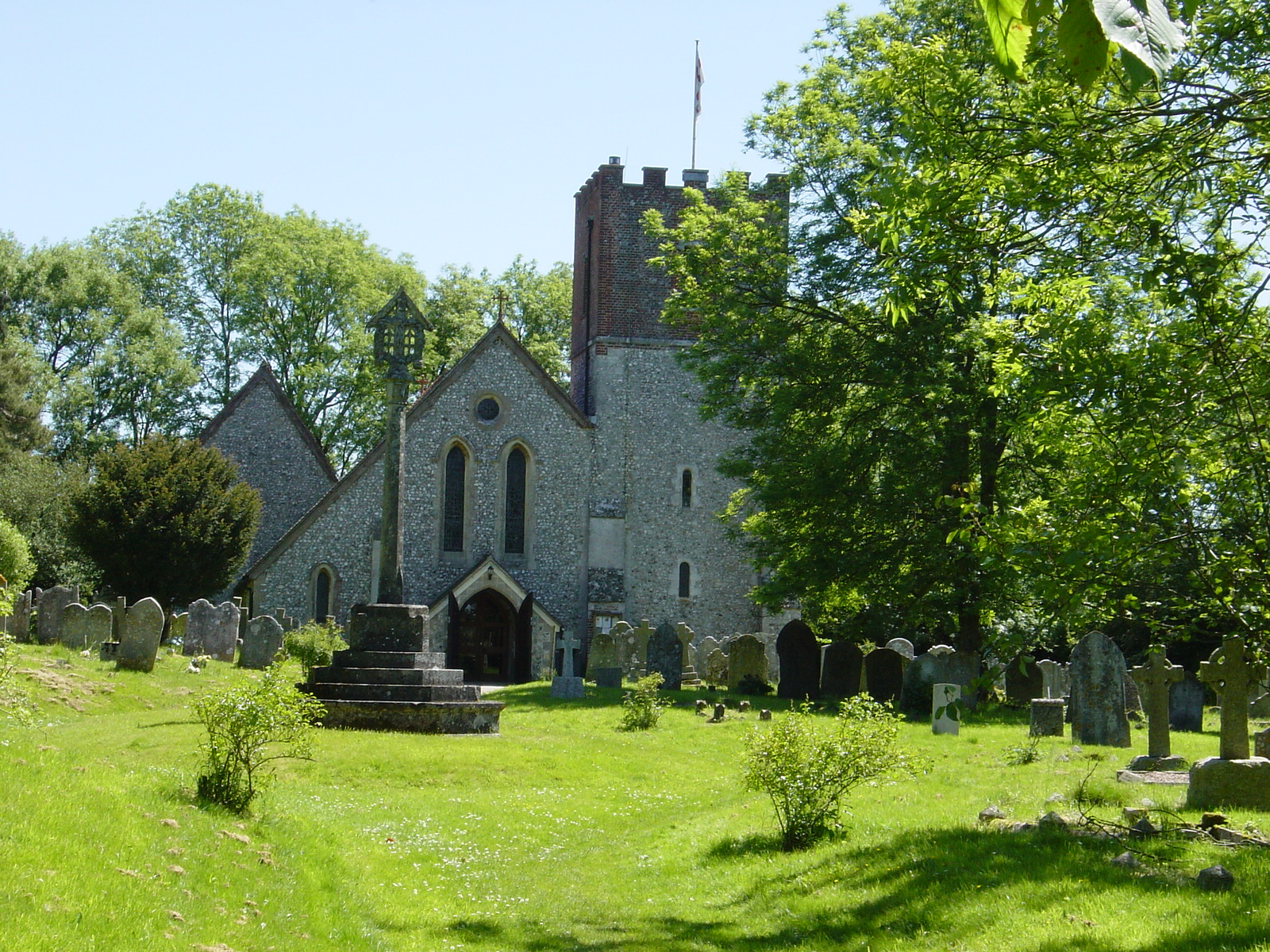
Chalton Windmill
Chalton Windmill is a Grade II listed tower mill on the top of Windmill Hill at Chalton, Hampshire, England, which has been converted to residential use...
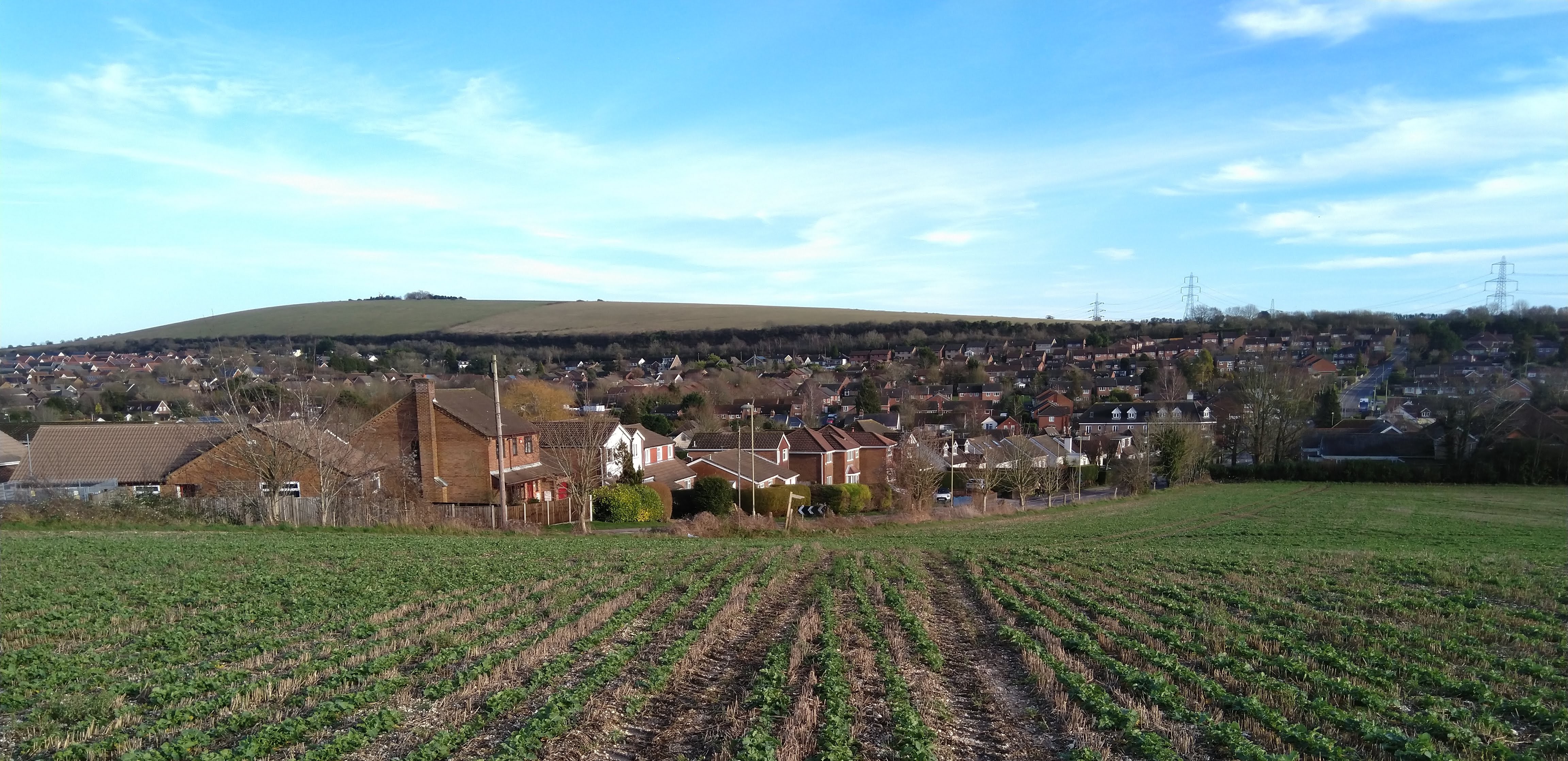
Windmill Hill, Hampshire
Windmill Hill is a chalk hill running alongside the A3(M) in the East Hampshire district of Hampshire, England, overlooking Chalton to the east, and Clanfield...
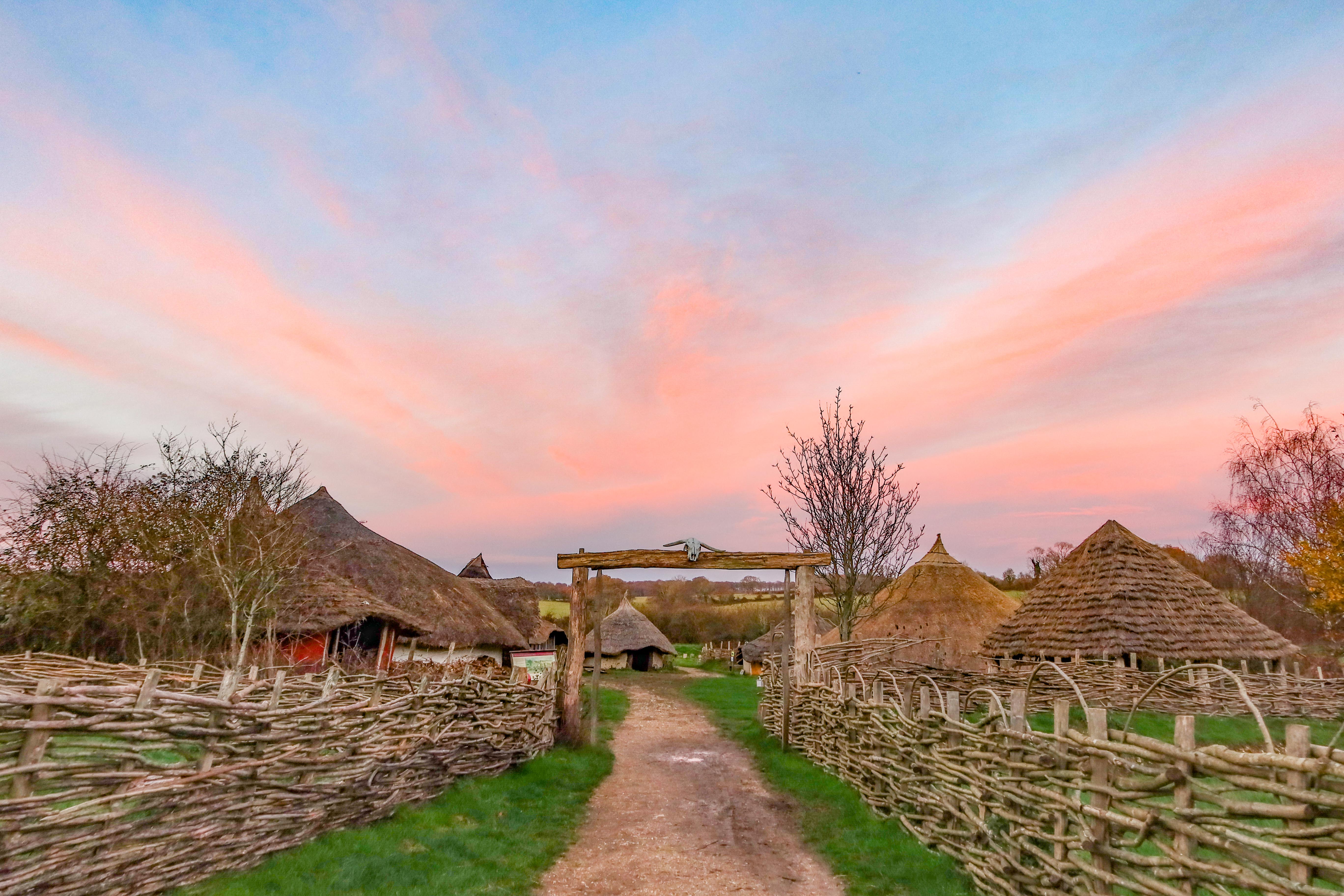
Butser Ancient Farm
Butser Ancient Farm is an archaeological open-air museum and experimental archaeology site located near Petersfield in Hampshire, southern England. Butser...
Catherington
Catherington is a village and former civil parish, now in the parish of Horndean, in the East Hampshire district of Hampshire, England. It is 1 mile (1...

Blendworth
Blendworth is a village and former civil parish, now in the parish of Horndean, in the East Hampshire district of Hampshire, England. It lies 0.4 miles...
Clanfield, Hampshire
Clanfield is a village and civil parish in the south-east of the East Hampshire district of Hampshire, England. It is situated 2.4 miles (3.9 kilometres...

Chalton, Hampshire
Chalton is a small village and former civil parish, now in the parish of Clanfield, in the East Hampshire district of Hampshire, England. It is 2.3 miles...

Horndean F.C.
Horndean F.C. is an English football club based in Horndean, near Portsmouth in Hampshire. The club are currently members of the Isthmian League South...
Nearby Amenities
Located within 500m of 50.933689,-0.98809295Have you been to Horndean Down?
Leave your review of Horndean Down below (or comments, questions and feedback).