Thorpe Hill

Hill, Mountain in Yorkshire Ryedale

England

Thorpe Hill

Looking north towards Scrayingham
Looking north towards Scrayingham Credit: Ian S

Thorpe Hill is a prominent natural landmark located in Yorkshire, England. Rising to an elevation of approximately 805 feet (245 meters), it is classified as a hill rather than a mountain. Situated near the village of Thorpe, it forms part of the Peak District National Park, which is renowned for its picturesque landscapes and diverse wildlife.

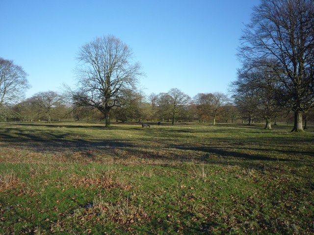
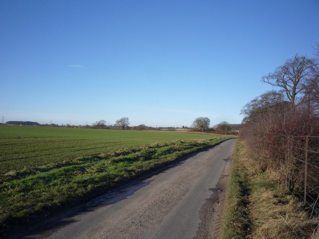
Thorpe Hill boasts stunning panoramic views of the surrounding countryside, making it a popular destination for hikers, nature enthusiasts, and photographers alike. Its lush green slopes are dotted with an array of flora and fauna, including heather, wildflowers, and various species of birds.

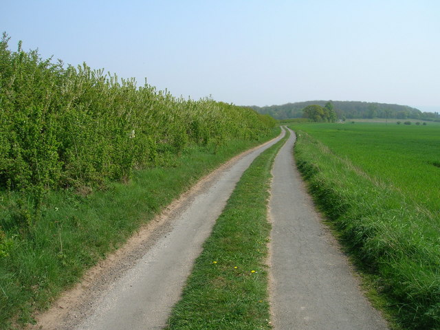
The hill is characterized by its gentle gradient, making it accessible to walkers of various abilities. A network of well-marked footpaths crisscrosses the hill, offering visitors the opportunity to explore its diverse terrain. The most popular route follows a circular path that takes hikers to the summit, where breathtaking vistas await.

Aside from its natural beauty, Thorpe Hill also holds historical significance. It is believed to have been inhabited since prehistoric times, with archaeological evidence suggesting human activity in the area dating back thousands of years. The hill's strategic position made it an ideal location for Bronze Age settlements, and remnants of ancient settlements, including burial mounds, have been discovered in the vicinity.

In conclusion, Thorpe Hill in Yorkshire is a captivating natural landmark that entices visitors with its stunning vistas, diverse wildlife, and historical significance. Whether one seeks a challenging hike or a peaceful stroll, this hill offers an unforgettable experience for all who venture to its summit.

If you have any feedback on the listing, please let us know in the comments section below.
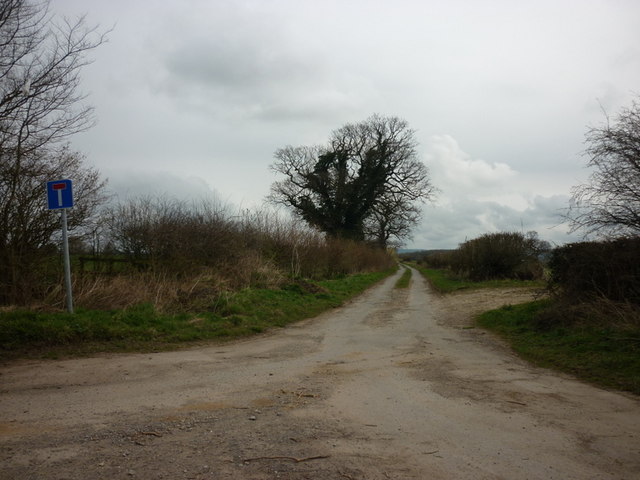
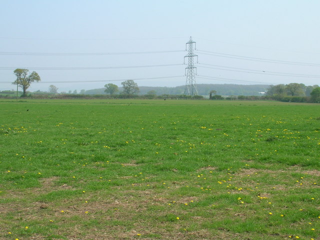
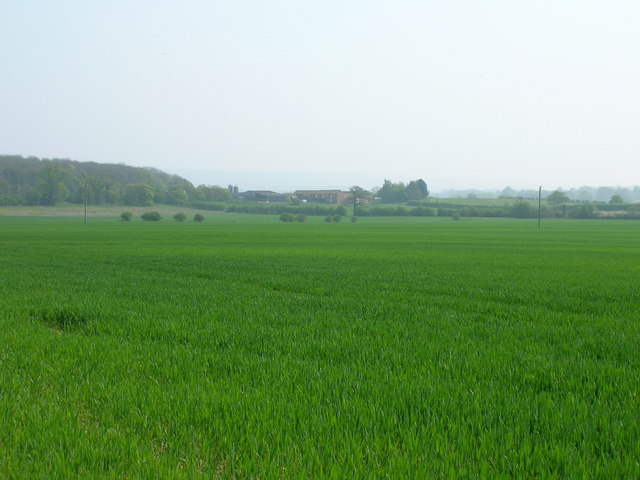
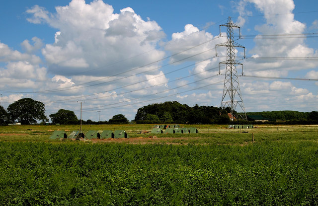
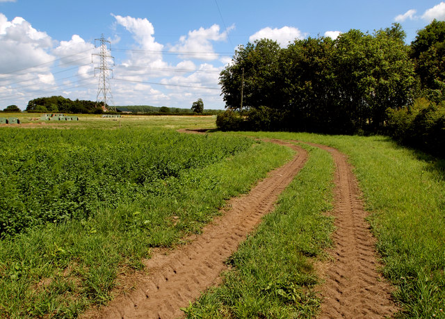
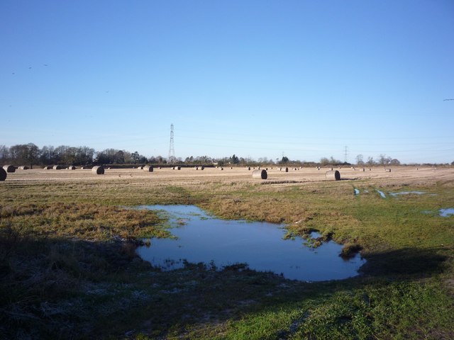
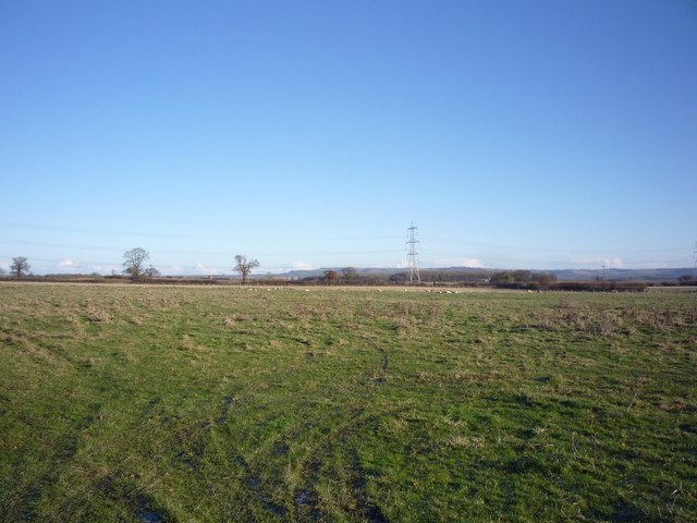
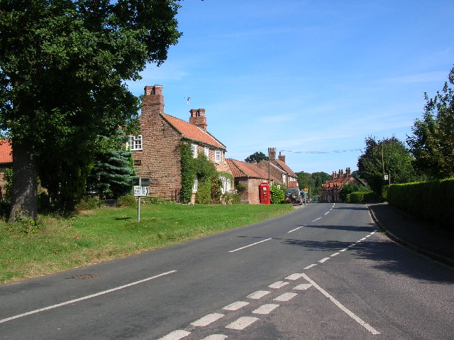
Thorpe Hill Images

Images are sourced within 2km of 54.026881/-0.90588448 or Grid Reference SE7159. Thanks to Geograph Open Source API. All images are credited.

Looking north towards Scrayingham
A minor road opposite Kissthorn farm
Farmland near Pasture Farm
Farmland looking towards Woodhouse Farm
Minor road towards Woodhouse Farm
Farmland near Buttercrambe Moor This is typical scenery for this part of the Vale of York.  The free-range pigs seemed happy with their lot.

I managed to access this private land by buying some fresh asparagus and strawberries from the Low Moor Farm shop (the produce was second to none and worth the detour!).  I asked the farmer for permission to take this photograph on land just east of the farm after explaining the purpose behind 'Geograph' and he duly obliged.  Thanks!
Farmland near Buttercrambe Moor
This is typical scenery for this part of the Vale of York. The free-range pigs seemed happy with their lot. I managed to access this private land by buying some fresh asparagus and strawberries from the Low Moor Farm shop (the produce was second to none and worth the detour!). I asked the farmer for permission to take this photograph on land just east of the farm after explaining the purpose behind 'Geograph' and he duly obliged. Thanks!
Farm Track East of Low Moor Farm This is typical scenery for this part of the Vale of York.

I managed to access this private land by buying some fresh asparagus and strawberries from the Low Moor Farm shop (the produce was second to none and worth the detour!).  I asked the farmer for permission to take this photograph on land just east of the farm after explaining the purpose behind 'Geograph' and he duly obliged.  Thanks!
Farm Track East of Low Moor Farm
This is typical scenery for this part of the Vale of York. I managed to access this private land by buying some fresh asparagus and strawberries from the Low Moor Farm shop (the produce was second to none and worth the detour!). I asked the farmer for permission to take this photograph on land just east of the farm after explaining the purpose behind 'Geograph' and he duly obliged. Thanks!
Flooded field Looking into a flooded field from the Sand Hutton to Bossall road.
Flooded field
Looking into a flooded field from the Sand Hutton to Bossall road.
Fields near Aldby Field House Looking across to the Wolds in the distance.
Fields near Aldby Field House
Looking across to the Wolds in the distance.
Aldby Park Looking towards two horses in Aldby Park.
Aldby Park
Looking towards two horses in Aldby Park.
Road along Aldby Park Looking along the road heading to Bossall from Buttercrambe.
Road along Aldby Park
Looking along the road heading to Bossall from Buttercrambe.
The lane towards Toft Flats
Buttercrambe, Aldby Park: aerial 2014 The house is best known for being the ancestral home of the Darley family. Jane Darley owned the celebrated Darley Arabian horse which is widely recognised as being an ancestor of most of the world's thoroughbred race horses. The horse was sourced in Aleppo, where Thomas Darley was a merchant.
See: <span class="nowrap"><a title="http://en.wikipedia.org/wiki/Aldby_Park" rel="nofollow ugc noopener" href="http://en.wikipedia.org/wiki/Aldby_Park">Link</a><img style="margin-left:2px;" alt="External link" title="External link - shift click to open in new window" src="https://s1.geograph.org.uk/img/external.png" width="10" height="10"/></span> and <span class="nowrap"><a title="http://www.genuki.org.uk/big/eng/YKS/Misc/Transcriptions/NRY/AldbyPark.html" rel="nofollow ugc noopener" href="http://www.genuki.org.uk/big/eng/YKS/Misc/Transcriptions/NRY/AldbyPark.html">Link</a><img style="margin-left:2px;" alt="External link" title="External link - shift click to open in new window" src="https://s1.geograph.org.uk/img/external.png" width="10" height="10"/></span>
Buttercrambe, Aldby Park: aerial 2014
The house is best known for being the ancestral home of the Darley family. Jane Darley owned the celebrated Darley Arabian horse which is widely recognised as being an ancestor of most of the world's thoroughbred race horses. The horse was sourced in Aleppo, where Thomas Darley was a merchant. See: LinkExternal link and LinkExternal link
Penter Closes Fields which at some stage in the distant past will have been reclaimed from Buttercrambe Moor.
Penter Closes
Fields which at some stage in the distant past will have been reclaimed from Buttercrambe Moor.
Kissthorn Farm
Kissthorn Farm
Fields leading down to the Derwent
River Derwent at The Holms, Buttercrambe
Show me another place!

Thorpe Hill is located at Grid Ref: SE7159 (Lat: 54.026881, Lng: -0.90588448)

Division: North Riding

Administrative County: North Yorkshire

District: Ryedale

Police Authority: North Yorkshire

What 3 Words

///silence.stretch.logbook. Near Stamford Bridge, East Yorkshire

Related Wikis

Bossall

Bossall is a hamlet in North Yorkshire, England with fewer than 100 residents. The village was part of the Ryedale district between 1974 and 2023. It is...

Scrayingham

Scrayingham is a village and civil parish in North Yorkshire, England. It was historically part of the East Riding of Yorkshire until 1974. The population...

Aldby Park

Aldby Park is a country estate in the village of Buttercrambe near the village of Stamford Bridge in the East Riding of Yorkshire, England. The house,...

Buttercrambe Castle

Buttercrambe Castle was in the village of Buttercrambe in North Yorkshire, England. This was possibly a medieval motte-and-bailey castle. The bailey has...

Buttercrambe

Buttercrambe is a small village in the Buttercrambe with Bossall civil parish, in North Yorkshire, England.The village is situated approximately 8 miles...

Buttercrambe with Bossall

Buttercrambe with Bossall is a civil parish in North Yorkshire, England. The parish had a population of 100 according to the 2001 census, increasing to...

Sand Hutton

Sand Hutton is a village and civil parish which forms the larger part of the Claxton and Sand Hutton grouped parish council, in North Yorkshire, England...

Sand Hutton Miniature Railway

The Sand Hutton Miniature Railway was a miniature gauge estate railway serving the estate of Sir Robert Walker, the Fourth Baronet of Sand Hutton, Yorkshire...

Have you been to Thorpe Hill?

Leave your review of Thorpe Hill below (or comments, questions and feedback).