Old Park

Downs, Moorland in Yorkshire

England

Old Park

Farm Cottage, Martin Common Farm
Farm Cottage, Martin Common Farm Credit: Neil Theasby

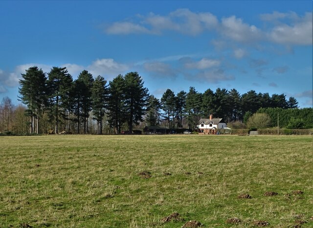
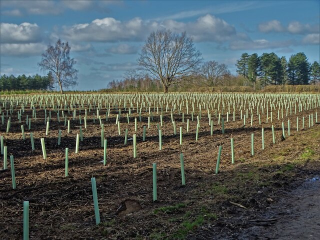
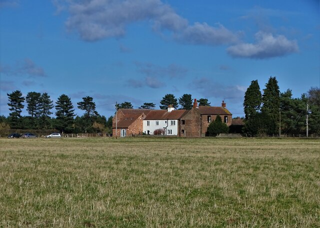
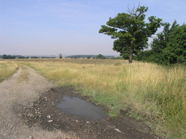
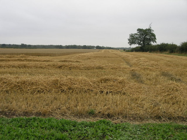
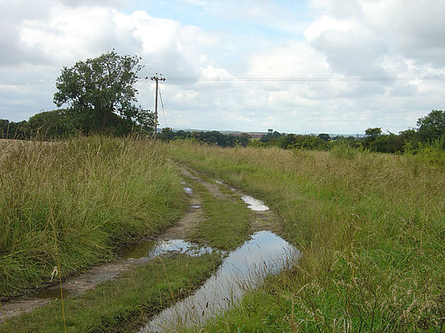
Old Park is a picturesque area located in Yorkshire, England. Situated amidst the stunning landscape of the Yorkshire Downs and Moorland, it offers a wealth of natural beauty and tranquility. The region is renowned for its rolling hills, vast heather moors, and ancient forests.

The landscape of Old Park is characterized by its diverse vegetation and wildlife. The Yorkshire Downs, with their sweeping grasslands and rocky outcrops, provide a stunning backdrop for hikers and nature enthusiasts. The moorland, covered in vibrant purple heather during the summer months, is home to a variety of bird species, including grouse, skylarks, and curlews.

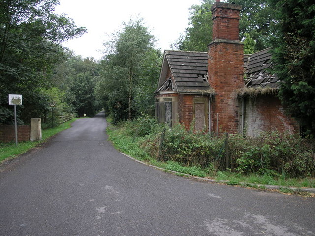
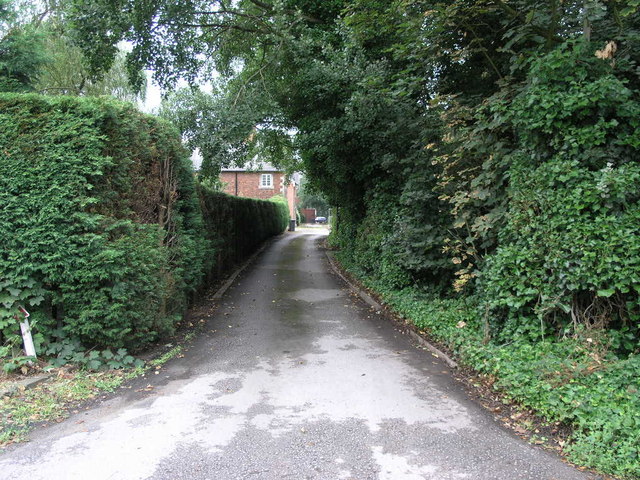
In addition to its natural beauty, Old Park boasts a rich history. The area is dotted with archaeological sites, including ancient stone circles and burial mounds, which offer a glimpse into the region's past. The nearby village of Old Park is a charming, traditional English village, with its quaint cottages, historic church, and welcoming locals.

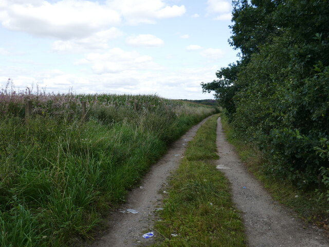
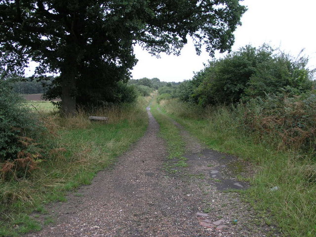
Outdoor activities are popular in Old Park, with numerous walking trails and cycling routes crisscrossing the area. The region also offers opportunities for horse riding, fishing, and birdwatching. For those seeking a more leisurely experience, there are several tearooms and country pubs that provide a warm and friendly atmosphere to relax and enjoy the local cuisine.

Overall, Old Park in Yorkshire is a haven for nature lovers and history enthusiasts alike. Its stunning landscapes, rich wildlife, and historical sites make it a must-visit destination for anyone looking to escape the hustle and bustle of modern life and immerse themselves in the beauty of the British countryside.

If you have any feedback on the listing, please let us know in the comments section below.
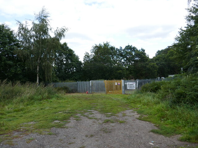
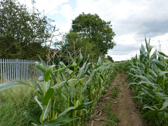
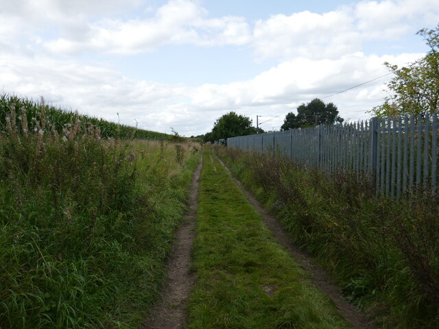
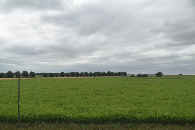
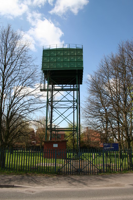
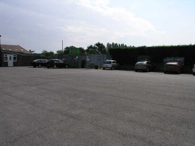
Old Park Images

Images are sourced within 2km of 53.463794/-1.0362779 or Grid Reference SK6496. Thanks to Geograph Open Source API. All images are credited.

Farm Cottage, Martin Common Farm
Newly planted trees on Martin Common
Martin Common Farm
Martin Common Farm
Common Lane near Rossington A public footpath. A field of maize on the left.
Common Lane near Rossington
A public footpath. A field of maize on the left.
Closed level crossing Closed for safety reasons. A sign unhelpfully advises of an alternative route but gives no indication as to where it is.
Closed level crossing
Closed for safety reasons. A sign unhelpfully advises of an alternative route but gives no indication as to where it is.
Track though maize by the railway This seems to have been recently hacked through.
Track though maize by the railway
This seems to have been recently hacked through.
Track alongside the railway
Arable landscape
Arable landscape
Stripe Road water Tower On the outskirts of New Rossington
Stripe Road water Tower
On the outskirts of New Rossington
Track and Tree The large tree to the right is one of the few survivors of what was once a significant area of woodland.  The unusually rare patch of water in the foreground is called a puddle.
Track and Tree
The large tree to the right is one of the few survivors of what was once a significant area of woodland. The unusually rare patch of water in the foreground is called a puddle.
Outdoor Car Park This car park is for customers of Don Valley Outdoor Centre.
Outdoor Car Park
This car park is for customers of Don Valley Outdoor Centre.
Tall Green Hedges The tall green hedges flank a bridleway to Austerfield.
Tall Green Hedges
The tall green hedges flank a bridleway to Austerfield.
School Entrance This falling down lodge sits at the entrance to the former Rossington Hall.  The hall is now Rossington Hall School.
School Entrance
This falling down lodge sits at the entrance to the former Rossington Hall. The hall is now Rossington Hall School.
Rain Stopped Harvest Overnight rain has put this harvest on hold temporarily.
Rain Stopped Harvest
Overnight rain has put this harvest on hold temporarily.
Path to Rossington This track is also a public footpath leading to Rossington.
Path to Rossington
This track is also a public footpath leading to Rossington.
Long Way Round This footpath leads to a point just down the road from where it begins.  The path would be the longer way to go to the same point and even if it looks peaceful the runway of Robin Hood Airport is just beyond the trees.
Long Way Round
This footpath leads to a point just down the road from where it begins. The path would be the longer way to go to the same point and even if it looks peaceful the runway of Robin Hood Airport is just beyond the trees.
Finningley From the Fence The runway at the former RAF Finningley was long enough to accommodate the needs of the Vulcan bombers that once flew from here.  The airport now carries civil aircraft and is named after Robin Hood the outlaw who, had he lived today, would have made his holiday flights from here.
Finningley From the Fence
The runway at the former RAF Finningley was long enough to accommodate the needs of the Vulcan bombers that once flew from here. The airport now carries civil aircraft and is named after Robin Hood the outlaw who, had he lived today, would have made his holiday flights from here.
Field track near Rossington Hall
Show me another place!

Old Park is located at Grid Ref: SK6496 (Lat: 53.463794, Lng: -1.0362779)

Division: West Riding

Unitary Authority: Doncaster

Police Authority: South Yorkshire

What 3 Words

///tenders.zipped.lyrics. Near Rossington, South Yorkshire

Related Wikis

Doncaster Sheffield Airport railway station

Doncaster Sheffield Airport railway station (also known as Aerotropolis) was a proposed railway station in the Doncaster Sheffield Airport (DSA) terminal...

Rossington All Saints Academy

Rossington All Saints Academy is a coeducational secondary school and sixth form located in Rossington, South Yorkshire, England.Originally known as Rossington...

Rossington

Rossington is a civil parish and former mining village in the Metropolitan Borough of Doncaster in South Yorkshire, England and is surrounded by countryside...

No. 215 Advanced Flying School RAF

No. 215 Advanced Flying School RAF was a flying school of the Royal Air Force which was disbanded in 1954 at RAF Finningley. == Previous identities... ==
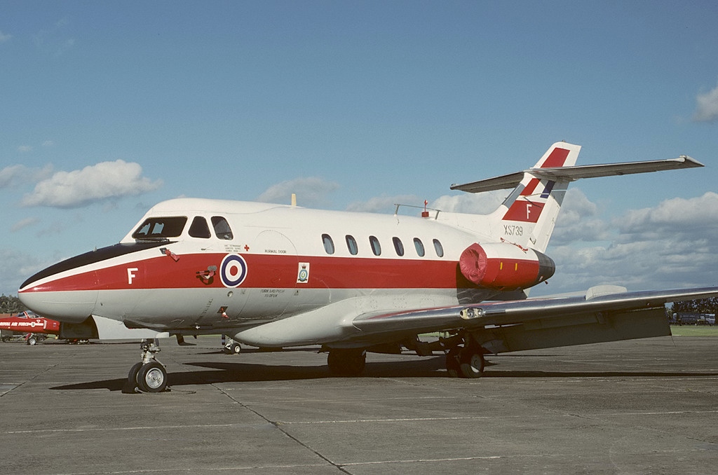
RAF Finningley

Royal Air Force Finningley or RAF Finningley was a Royal Flying Corps and Royal Air Force station at Finningley, in the Metropolitan Borough of Doncaster...

Doncaster Sheffield Airport

Doncaster Sheffield Airport (IATA: DSA, ICAO: EGCN), formerly named and commonly referred to as Robin Hood Airport, was an international airport in Finningley...

Rossington railway station

Rossington was a railway station which served the village of Rossington on the Great Northern Railway's main line some 5.5 miles (9 km) south of Doncaster...

Hill House School, South Yorkshire

Hill House School is a co-educational independent school for pupils from the ages of 3 to 18 in South Yorkshire, England. In 2012, Hill House was named...

Nearby Amenities

Located within 500m of 53.463794,-1.0362779
Bus Stop
Great North Road/Rossington Hall School
Alt Name: Great North Road/Rossington Hall School
Naptan AltCommonName: Great North Road/Rossington Hall School
Naptan AtcoCode: 370040283
Naptan Bearing: N
Naptan CommonName: Great North Road/Rossington Hall School
Naptan Indicator: 40283
Naptan Landmark: ROSSINGTON HALL SCHOOL
Naptan PlusbusZoneRef: ROTHCEN
Naptan Street: Great North Road
Naptan Verified: no
Shelter: no
Source: naptan_import
Lat/Long: 53.4617193/-1.0308536
Bus Stop
Great North Road/High Common Lane
Naptan AtcoCode: 370040302
Naptan Bearing: SE
Naptan CommonName: Great North Road/High Common Lane
Naptan Indicator: 40302
Naptan Landmark: Street light 35382
Naptan PlusbusZoneRef: ROTHCEN
Naptan Street: Great North Road
Naptan Verified: no
Source: naptan_import
Lat/Long: 53.4673786/-1.0337074
Bus Stop
Great North Road/High Common Lane
Naptan AtcoCode: 370040303
Naptan Bearing: NW
Naptan CommonName: Great North Road/High Common Lane
Naptan Indicator: 40303
Naptan Landmark: ROAD JUNCTION
Naptan PlusbusZoneRef: ROTHCEN
Naptan Street: Great North Road
Naptan Verified: no
Source: naptan_import
Lat/Long: 53.4680137/-1.0344312
Bus Stop
Great North Road/Rossington Hall School
Alt Name: Great North Road/Rossington Hall School
Naptan AltCommonName: Great North Road/Rossington Hall School
Naptan AtcoCode: 370045307
Naptan Bearing: N
Naptan CommonName: Great North Road/Rossington Hall School
Naptan Indicator: 45307
Naptan Landmark: Rossington Hall School
Naptan PlusbusZoneRef: ROTHCEN
Naptan Street: Great North Road
Naptan Verified: no
Source: naptan_import
Lat/Long: 53.4621918/-1.0314754
Parking
Source: survey
Lat/Long: 53.4627228/-1.0314231
Parking
Parking: layby
Source: View from road
Lat/Long: 53.4629602/-1.0316556
Rossington Hall
Addr City: Doncaster
Addr Country: GB
Addr Postcode: DN11 0HR
Addr Street: Great North Road
Fhrs Id: 686391
Tourism: hotel
Lat/Long: 53.4622696/-1.0396748
The data included in this document is from www.openstreetmap.org. The data is made available under ODbL.

Have you been to Old Park?

Leave your review of Old Park below (or comments, questions and feedback).