Partridge Hill Holt

Wood, Forest in Yorkshire

England

Partridge Hill Holt

Farm Cottage, Martin Common Farm
Farm Cottage, Martin Common Farm Credit: Neil Theasby

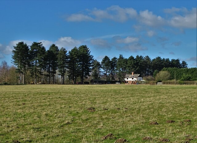
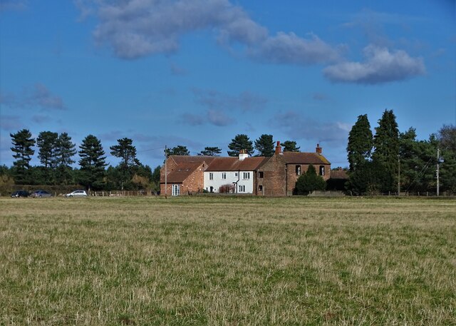
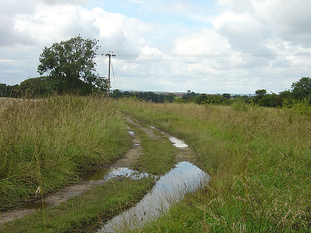
Partridge Hill Holt is a picturesque wooded area located in the county of Yorkshire, England. Situated in the heart of the beautiful Yorkshire Dales, this forested hill provides a serene and tranquil environment for both locals and visitors to enjoy.

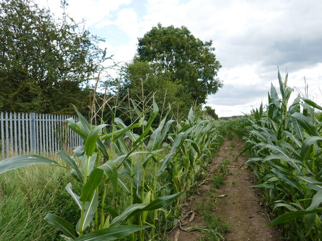
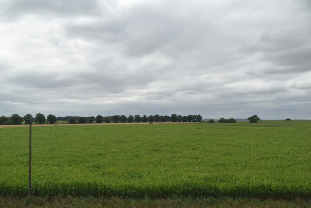
Covering an expansive area, Partridge Hill Holt is predominantly covered with dense woodland, consisting of a variety of tree species such as oak, beech, and birch. The forest floor is adorned with a carpet of wildflowers during the spring and summer months, creating a vibrant and colorful landscape.

The hilly terrain of Partridge Hill Holt offers stunning panoramic views of the surrounding countryside, making it a popular spot for nature enthusiasts and hikers. Numerous well-marked trails crisscross the woodland, providing opportunities for leisurely walks or more challenging hikes. The diverse wildlife in the area includes red squirrels, deer, and an array of bird species, delighting nature lovers and birdwatchers alike.

The forest is managed by the Yorkshire Wildlife Trust, ensuring the preservation and protection of the ecosystem within Partridge Hill Holt. The organization also offers educational programs and guided tours to educate visitors about the importance of conservation and the rich biodiversity of the area.

With its natural beauty, peaceful ambiance, and abundance of wildlife, Partridge Hill Holt is a hidden gem within the Yorkshire Dales. Whether one seeks solitude and tranquility or an adventurous outdoor experience, this forested hill provides a haven for all nature enthusiasts to enjoy.

If you have any feedback on the listing, please let us know in the comments section below.

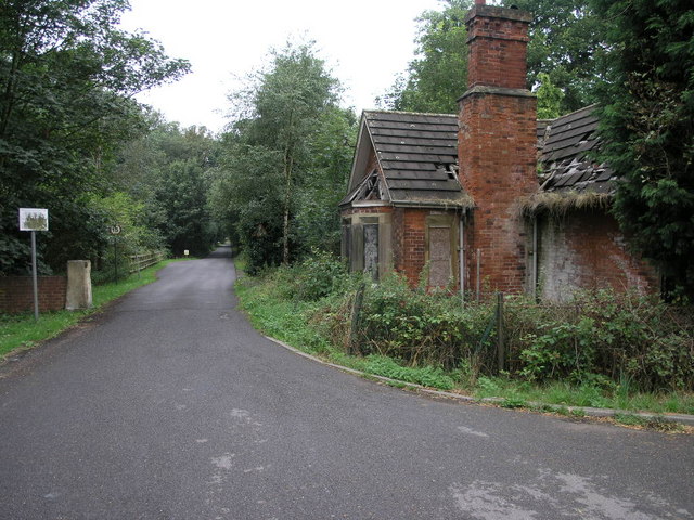
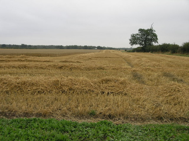
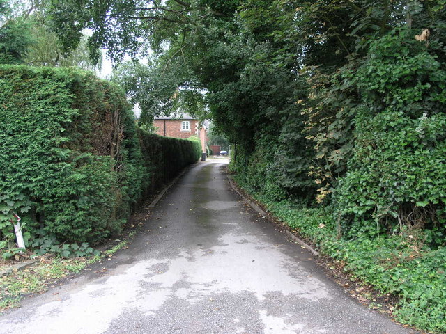
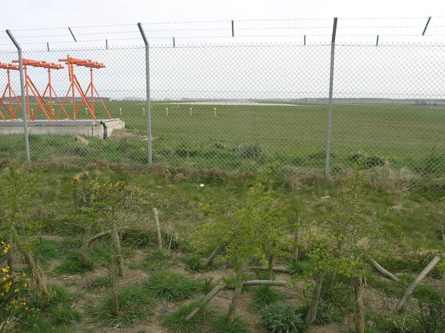
Partridge Hill Holt Images

Images are sourced within 2km of 53.460197/-1.0227888 or Grid Reference SK6496. Thanks to Geograph Open Source API. All images are credited.

Farm Cottage, Martin Common Farm
Martin Common Farm
Martin Common Farm
Track though maize by the railway This seems to have been recently hacked through.
Track though maize by the railway
This seems to have been recently hacked through.
Arable landscape
Arable landscape
Path to Austerfield This footpath to Austerfield passes through a golf course on the way.
Path to Austerfield
This footpath to Austerfield passes through a golf course on the way.
Hidden Campsite Inside this wood is a campsite.
Hidden Campsite
Inside this wood is a campsite.
Bawtry Water Tower This water tower is storing Yorkshire's water, but not all of it.
Bawtry Water Tower
This water tower is storing Yorkshire's water, but not all of it.
Tall Green Hedges The tall green hedges flank a bridleway to Austerfield.
Tall Green Hedges
The tall green hedges flank a bridleway to Austerfield.
School Entrance This falling down lodge sits at the entrance to the former Rossington Hall.  The hall is now Rossington Hall School.
School Entrance
This falling down lodge sits at the entrance to the former Rossington Hall. The hall is now Rossington Hall School.
Rain Stopped Harvest Overnight rain has put this harvest on hold temporarily.
Rain Stopped Harvest
Overnight rain has put this harvest on hold temporarily.
Path to Rossington This track is also a public footpath leading to Rossington.
Path to Rossington
This track is also a public footpath leading to Rossington.
Bawtry Water Tower
Bawtry Water Tower
Finningley From the Fence The runway at the former RAF Finningley was long enough to accommodate the needs of the Vulcan bombers that once flew from here.  The airport now carries civil aircraft and is named after Robin Hood the outlaw who, had he lived today, would have made his holiday flights from here.
Finningley From the Fence
The runway at the former RAF Finningley was long enough to accommodate the needs of the Vulcan bombers that once flew from here. The airport now carries civil aircraft and is named after Robin Hood the outlaw who, had he lived today, would have made his holiday flights from here.
Field track near Rossington Hall
Field track near Rossington Hall Rossington Hall, which hides behind the tall cypresses, now houses the Northern Racing College.
Field track near Rossington Hall
Rossington Hall, which hides behind the tall cypresses, now houses the Northern Racing College.
Cornfield near Rossington Hall
Highfield Lane borehole pumping station This provides drinking water for the area.
Highfield Lane borehole pumping station
This provides drinking water for the area.
Highfield Lane borehole pumping station This provides drinking water for the area.
Highfield Lane borehole pumping station
This provides drinking water for the area.
Show me another place!

Partridge Hill Holt is located at Grid Ref: SK6496 (Lat: 53.460197, Lng: -1.0227888)

Division: West Riding

Unitary Authority: Doncaster

Police Authority: South Yorkshire

What 3 Words

///reflector.partner.compiler. Near Bawtry, South Yorkshire

Related Wikis

Doncaster Sheffield Airport railway station

Doncaster Sheffield Airport railway station (also known as Aerotropolis) was a proposed railway station in the Doncaster Sheffield Airport (DSA) terminal...

Doncaster Sheffield Airport

Doncaster Sheffield Airport (IATA: DSA, ICAO: EGCN), formerly named and commonly referred to as Robin Hood Airport, was an international airport in Finningley...

No. 215 Advanced Flying School RAF

No. 215 Advanced Flying School RAF was a flying school of the Royal Air Force which was disbanded in 1954 at RAF Finningley. == Previous identities... ==

RAF Finningley

Royal Air Force Finningley or RAF Finningley was a Royal Flying Corps and Royal Air Force station at Finningley, in the Metropolitan Borough of Doncaster...

Nearby Amenities

Located within 500m of 53.460197,-1.0227888
Power: pole
Lat/Long: 53.4568207/-1.0251292
Power: pole
Lat/Long: 53.4573852/-1.0233215
Power: pole
Lat/Long: 53.4582733/-1.022241
Power: pole
Lat/Long: 53.459486/-1.0208338
Power: pole
Lat/Long: 53.4604781/-1.0195937
Power: pole
Lat/Long: 53.4615085/-1.0185785
Power: pole
Lat/Long: 53.4626455/-1.0173514
Partridge Hill Cottages
Place: isolated_dwelling
Source: Bing
Lat/Long: 53.4625904/-1.0168585
Partridge Hill Farm
Place: farm
Source: Bing
Lat/Long: 53.4614636/-1.016501
The data included in this document is from www.openstreetmap.org. The data is made available under ODbL.

Have you been to Partridge Hill Holt?

Leave your review of Partridge Hill Holt below (or comments, questions and feedback).