Ramsdale Park
Downs, Moorland in Nottinghamshire Gedling
England
Ramsdale Park
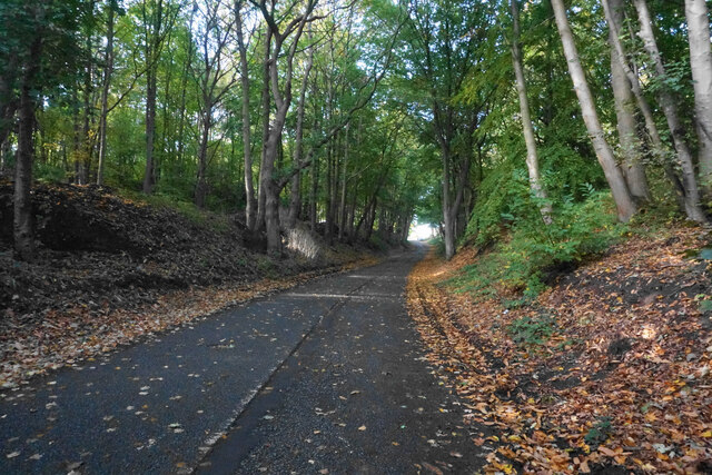
Ramsdale Park, located in Nottinghamshire, England, is a picturesque area known for its stunning downs and moorland landscapes. Spanning over acres of lush greenery, this park is a haven for nature enthusiasts and outdoor lovers alike.
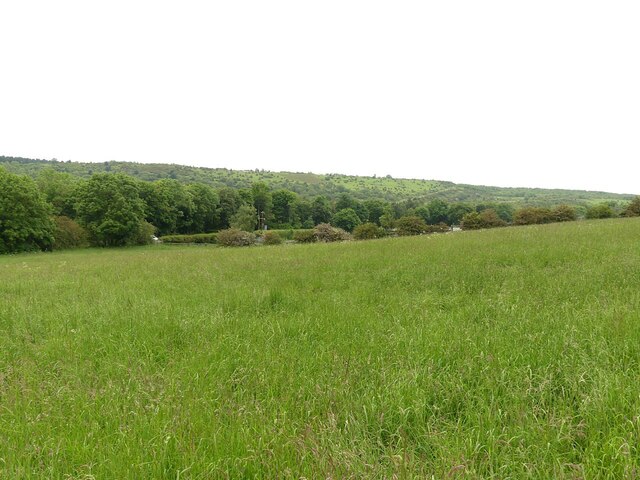
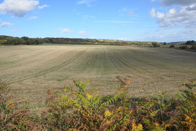
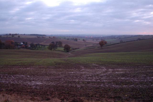
The park's downs offer breathtaking panoramic views, with rolling hills stretching as far as the eye can see. These grassy slopes are perfect for leisurely walks or picnics, providing visitors with a sense of tranquility and serenity. The downs are also home to a variety of wildlife, including rabbits, foxes, and a diverse range of bird species, making it an ideal spot for birdwatching enthusiasts.
In addition to the downs, Ramsdale Park boasts expansive moorland areas that are a sight to behold. The moorland is characterized by its heather-covered hills and open spaces, creating a unique and captivating landscape. Visitors can explore these vast moors through numerous walking trails, allowing them to immerse themselves in the beauty of nature.
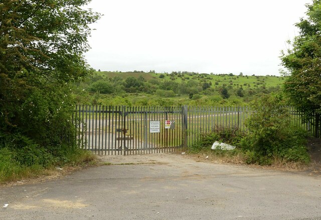
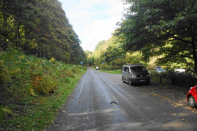
Ramsdale Park is equipped with well-maintained facilities, including picnic areas, parking spaces, and toilets, ensuring visitors have a comfortable and enjoyable experience. The park is also a popular spot for outdoor activities such as hiking, cycling, and even horse riding, with designated trails and paths available for these pursuits.
With its stunning downs and moorland, Ramsdale Park offers a captivating escape from the hustle and bustle of everyday life. Whether you're seeking a peaceful walk in nature or an adventurous exploration, this park provides a natural oasis that is sure to leave a lasting impression.
If you have any feedback on the listing, please let us know in the comments section below.
Ramsdale Park Images
Images are sourced within 2km of 53.031351/-1.1195928 or Grid Reference SK5948. Thanks to Geograph Open Source API. All images are credited.


Ramsdale Park is located at Grid Ref: SK5948 (Lat: 53.031351, Lng: -1.1195928)
Administrative County: Nottinghamshire
District: Gedling
Police Authority: Nottinghamshire
What 3 Words
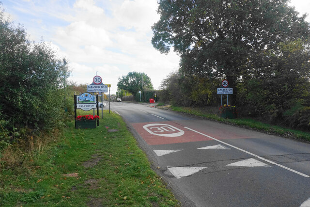
///vase.fight.solar. Near Calverton, Nottinghamshire
Nearby Locations
Related Wikis

Arnold Town F.C.
Arnold Town Football Club is a football club based in Arnold, Nottinghamshire, England. They are currently members of the Central Midlands League South...

Bestwood Pumping Station
Bestwood Pumping Station was a water pumping station operating in Nottinghamshire from 1874 until 1964. == History == Bestwood Pumping Station was built...
Dorket Head
Dorket Head is the name of the immediate area surrounding the junction of Lime Lane and Calverton Road in the town of Arnold, Nottinghamshire. It is the...
Calverton Miners' Welfare F.C.
Calverton Miners' Welfare Football Club is an association football club in Calverton, near Nottingham, Nottinghamshire, England. They are currently members...

Redhill, Nottinghamshire
Redhill () is a small community forming part of the much larger town of Arnold in Nottinghamshire, England. It is approximately 4 miles (6.4 km) north...
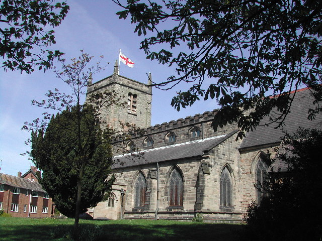
St Mary's Church, Arnold
St. Mary's Church is a parish church in Arnold, Nottinghamshire, England. Though there is no official founding date, it is estimated that the church dates...
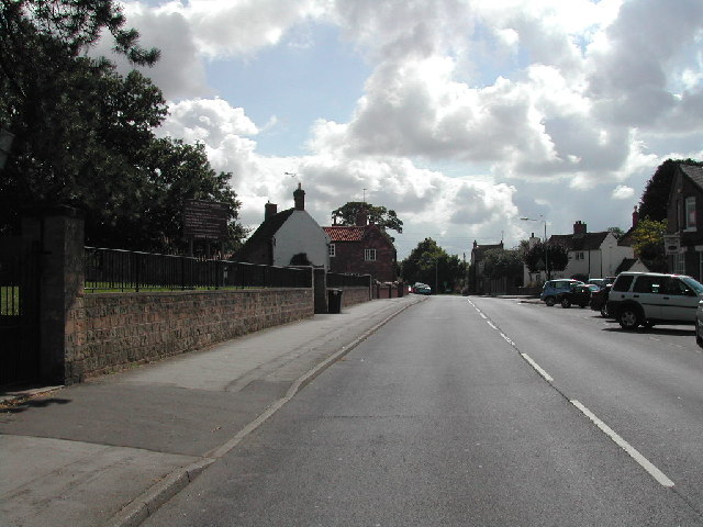
Calverton, Nottinghamshire
Calverton () is a village and civil parish in Nottinghamshire, of some 3,300 acres (1,300 ha), in the Gedling district, about 7 miles north-east of Nottingham...
Colonel Frank Seely Academy
Colonel Frank Seely Academy (formerly Colonel Frank Seely School) is a coeducational secondary school and sixth form located in Calverton in the English...
Have you been to Ramsdale Park?
Leave your review of Ramsdale Park below (or comments, questions and feedback).