Ramsdale Hill

Hill, Mountain in Nottinghamshire Gedling

England

Ramsdale Hill

Hollinwood Lane, Calverton A byway.
Hollinwood Lane, Calverton Credit: Jonathan Thacker

Ramsdale Hill is a prominent geographical feature located in Nottinghamshire, England. Standing at an elevation of approximately 120 meters, it is considered more of a hill than a mountain. It is positioned on the eastern edge of the village of Calverton, near the town of Nottingham.

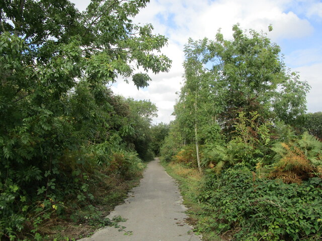
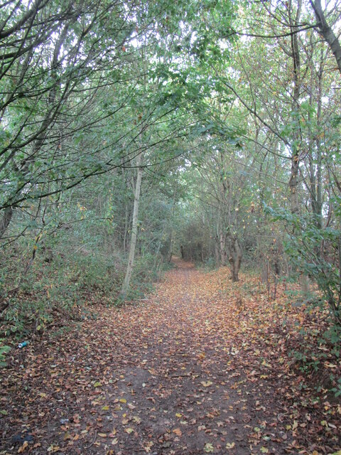
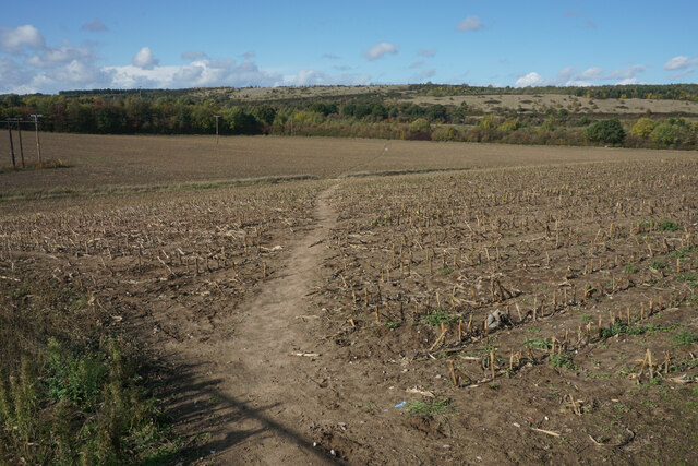
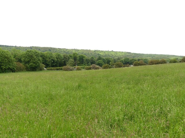
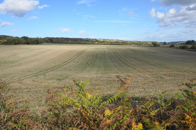
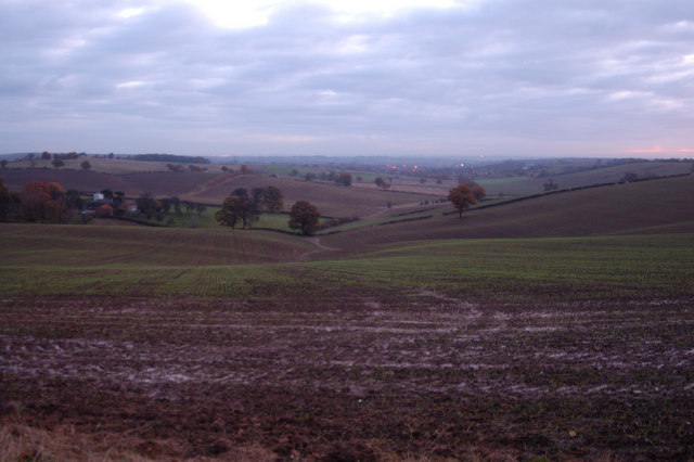
Ramsdale Hill offers stunning panoramic views of the surrounding countryside and is a popular spot for locals and tourists alike. The hill is covered with lush green vegetation, including grasses, shrubs, and some scattered trees. Its gentle slopes make it easily accessible for visitors of all ages and abilities.

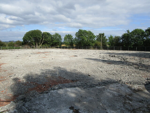
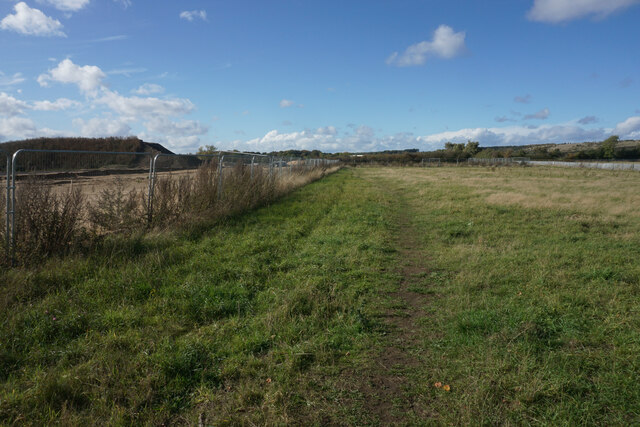
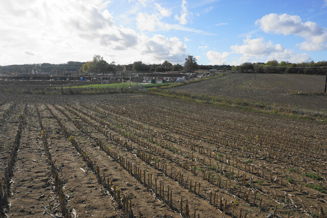
The area surrounding Ramsdale Hill is rich in history and natural beauty. It is believed that the hill was formed during the last Ice Age, as a result of glacial activity. The land surrounding the hill is fertile, due to the presence of boulder clay, providing ideal conditions for agriculture.

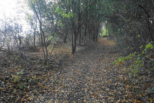
There are several walking trails that lead to Ramsdale Hill, allowing visitors to explore the area's natural beauty and enjoy the peaceful atmosphere. The hill is also a popular spot for local wildlife, with many species of birds and small mammals calling it home.

Overall, Ramsdale Hill offers a picturesque and tranquil escape from the hustle and bustle of urban life. Its scenic beauty, combined with its accessibility, makes it a must-visit destination for nature lovers and outdoor enthusiasts in Nottinghamshire.

If you have any feedback on the listing, please let us know in the comments section below.

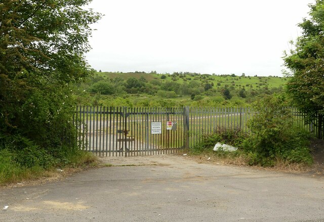
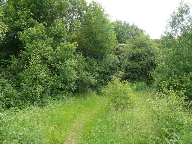
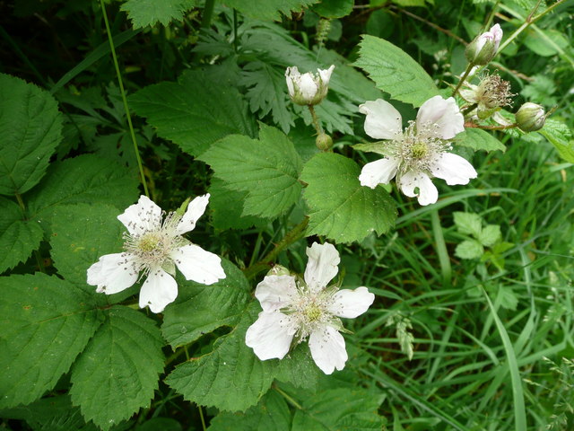
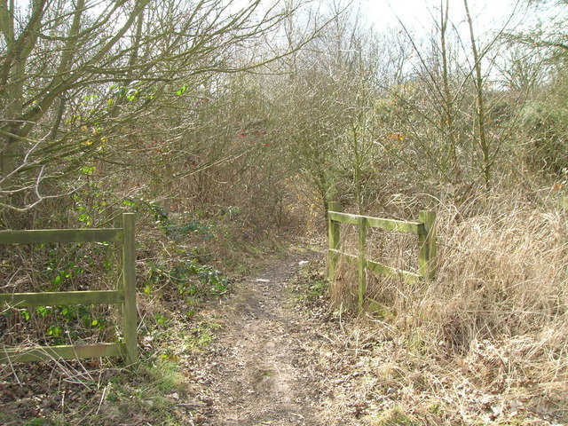
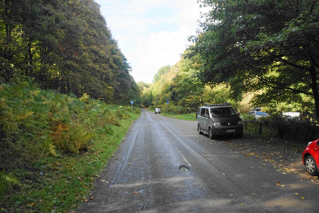
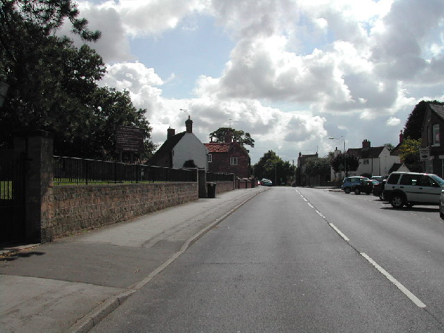
Ramsdale Hill Images

Images are sourced within 2km of 53.031471/-1.1114337 or Grid Reference SK5948. Thanks to Geograph Open Source API. All images are credited.

Hollinwood Lane, Calverton A byway.
Hollinwood Lane, Calverton
A byway.
Vacant site off Hollinwood Lane The site has been vacant for a good many years.
Vacant site off Hollinwood Lane
The site has been vacant for a good many years.
Hollinwood Lane, Calverton A byway, but here no more than a footpath.
Hollinwood Lane, Calverton
A byway, but here no more than a footpath.
Footpath near Calverton The path is going round a site on the left which will bring a large housing expansion of Calverton.
Footpath near Calverton
The path is going round a site on the left which will bring a large housing expansion of Calverton.
Footpath near Calverton Moving away from the village. The high ground ahead was the tip of the former colliery. The last crop in this field was sweetcorn.
Footpath near Calverton
Moving away from the village. The high ground ahead was the tip of the former colliery. The last crop in this field was sweetcorn.
Stubble field near Calverton A former crop of sweetcorn. Beyond the field is the north west expansion of housing in Calverton.
Stubble field near Calverton
A former crop of sweetcorn. Beyond the field is the north west expansion of housing in Calverton.
Footpath to Calverton A new location for a supermarket trolley.
Footpath to Calverton
A new location for a supermarket trolley.
Byway to Calverton Not suitable for vehicles.
Byway to Calverton
Not suitable for vehicles.
Post industrial landscape near Calverton 50 years ago, the view would have been dominated by the winding towers and coal washing plant of Calverton Colliery. The hillside in the background is largely artificial, formed by the colliery spoil tip.
Post industrial landscape near Calverton
50 years ago, the view would have been dominated by the winding towers and coal washing plant of Calverton Colliery. The hillside in the background is largely artificial, formed by the colliery spoil tip.
Post industrial landscape near Calverton Former colliery entrance gates. Despite the fence along the road, the area is largely freely accessible. The upper slopes of the former waste tip in the background have been taken over by the Forestry Commission and are designated Open Access Land.
Post industrial landscape near Calverton
Former colliery entrance gates. Despite the fence along the road, the area is largely freely accessible. The upper slopes of the former waste tip in the background have been taken over by the Forestry Commission and are designated Open Access Land.
Overgrown track The link between Calverton and the Oxton Road is passable only for those on foot.
Overgrown track
The link between Calverton and the Oxton Road is passable only for those on foot.
Wild blackberry in flower Rubus fruticosus showing well how closely related to the rose this plant is.
Wild blackberry in flower
Rubus fruticosus showing well how closely related to the rose this plant is.
Byway of the B6386
Byway of the B6386
Gravelly Hollow This road has been blocked off at the far end, so now it is purely an access road for Watchwood Plantation. This is by the main parking area.
Gravelly Hollow
This road has been blocked off at the far end, so now it is purely an access road for Watchwood Plantation. This is by the main parking area.
Harvested field near Watchwood Looking north from Gravelly Hollow.
Harvested field near Watchwood
Looking north from Gravelly Hollow.
Gravelly Hollow, Calverton Recreating this 'First' for the square <a title="https://www.geograph.org.uk/photo/36789" href="https://www.geograph.org.uk/photo/36789">Link</a>
Gravelly Hollow, Calverton
Recreating this 'First' for the square Link
Field of sugar beet, Gravelly Hollow
Former roadway off Gravelly Hollow Now blocked.
Former roadway off Gravelly Hollow
Now blocked.
Show me another place!

Ramsdale Hill is located at Grid Ref: SK5948 (Lat: 53.031471, Lng: -1.1114337)

Administrative County: Nottinghamshire

District: Gedling

Police Authority: Nottinghamshire

What 3 Words

///fish.buck.risen. Near Calverton, Nottinghamshire

Related Wikis

Arnold Town F.C.

Arnold Town Football Club is a football club based in Arnold, Nottinghamshire, England. They are currently members of the Central Midlands League South...

Dorket Head

Dorket Head is the name of the immediate area surrounding the junction of Lime Lane and Calverton Road in the town of Arnold, Nottinghamshire. It is the...

Calverton Miners' Welfare F.C.

Calverton Miners' Welfare Football Club is an association football club in Calverton, near Nottingham, Nottinghamshire, England. They are currently members...

Bestwood Pumping Station

Bestwood Pumping Station was a water pumping station operating in Nottinghamshire from 1874 until 1964. == History == Bestwood Pumping Station was built...

Calverton, Nottinghamshire

Calverton () is a village and civil parish in Nottinghamshire, of some 3,300 acres (1,300 ha), in the Gedling district, about 7 miles north-east of Nottingham...

Colonel Frank Seely Academy

Colonel Frank Seely Academy (formerly Colonel Frank Seely School) is a coeducational secondary school and sixth form located in Calverton in the English...

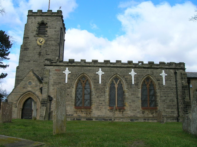
St Wilfrid's Church, Calverton

St Wilfrid's Church is a Grade II* listed parish church in the Church of England in Calverton, Nottinghamshire. == History == St Wilfrid’s church seems...

Redhill, Nottinghamshire

Redhill () is a small community forming part of the much larger town of Arnold in Nottinghamshire, England. It is approximately 4 miles (6.4 km) north...

Nearby Amenities

Located within 500m of 53.031471,-1.1114337
Bus Stop
Georges Lane
Bus: yes
Naptan AtcoCode: 3300GE0002
Naptan Bearing: S
Naptan CommonName: Georges Lane
Naptan Indicator: S-bound
Naptan NaptanCode: ntsdagmd
Naptan Notes: BW--3300GE0738
Naptan Street: Georges Lane
Naptan Verified: no
Public Transport: platform
Shelter: yes
Source: naptan_import
Lat/Long: 53.0285093/-1.110064
Bus Stop
Spindle Lane
Bench: no
Bus: yes
Lit: no
Naptan AtcoCode: 3300GE0005
Naptan Bearing: W
Naptan CommonName: Spindle Lane
Naptan Crossing: Spindle Lane
Naptan Indicator: adj
Naptan NaptanCode: ntsdagmp
Naptan Notes: BW--3300GE0739
Naptan Street: Georges Lane
Naptan Verified: no
Public Transport: platform
Shelter: no
Source: naptan_import
Tactile Paving: no
Lat/Long: 53.0294511/-1.1049897
Bus Stop
Georges Lane
Naptan AtcoCode: 3300GE0738
Naptan Bearing: N
Naptan BusStopType: CUS
Naptan CommonName: Georges Lane
Naptan Indicator: N-bound
Naptan NaptanCode: ntsgjtdj
Naptan Notes: CUS--3300GE0002
Naptan Street: Georges Lane
Naptan Verified: no
Source: naptan_import
Lat/Long: 53.0284569/-1.1102739
Bus Stop
Spindle Lane
Naptan AtcoCode: 3300GE0739
Naptan Bearing: E
Naptan BusStopType: CUS
Naptan CommonName: Spindle Lane
Naptan Crossing: Spindle Lane
Naptan Indicator: opp
Naptan NaptanCode: ntsgjtdm
Naptan Notes: CUS--3300GE0005
Naptan Street: Georges Lane
Naptan Verified: no
Source: naptan_import
Lat/Long: 53.0295029/-1.1047053
Man Made: mast
Source: survey;OS OpenData StreetView
Lat/Long: 53.0271142/-1.11309
Barrier: kissing_gate
Lat/Long: 53.0324602/-1.1059776
Barrier: kissing_gate
Lat/Long: 53.0322433/-1.1063719
Barrier: kissing_gate
Lat/Long: 53.0298085/-1.1061734
The data included in this document is from www.openstreetmap.org. The data is made available under ODbL.

Have you been to Ramsdale Hill?

Leave your review of Ramsdale Hill below (or comments, questions and feedback).