Arksey Common

Downs, Moorland in Yorkshire

England

Arksey Common

The north side of Grove Vale, Doncaster The road was laid out by 1938, and these houses built by 1948.
The north side of Grove Vale, Doncaster Credit: Christine Johnstone

Located in the county of Yorkshire, England, Arksey Common is a picturesque area known for its stunning natural beauty and diverse wildlife. Situated on the outskirts of the bustling town of Doncaster, it offers a peaceful retreat away from the urban chaos. The common encompasses a mix of downs and moorland, providing a varied landscape that attracts nature enthusiasts and walkers alike.

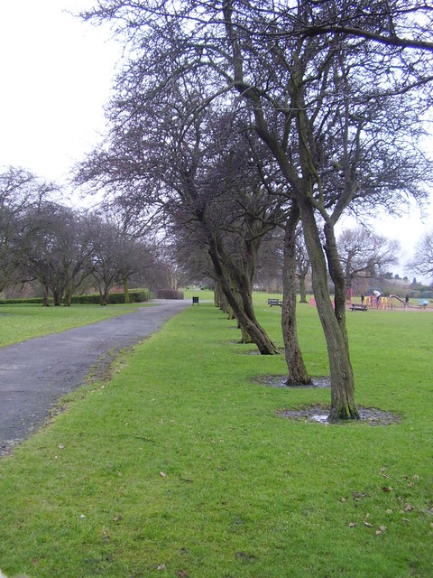
Covered in an array of vibrant heather, Arksey Common bursts into a sea of purple during the summer months, creating a breathtaking sight for visitors. The open grasslands are dotted with grazing cattle and sheep, adding to the rustic charm of the area. The undulating terrain is a haven for hikers and ramblers, offering numerous trails that wind their way through the common.

The diverse ecosystem found at Arksey Common supports a wide range of wildlife. Birdwatchers flock to the area to spot kestrels, skylarks, and meadow pipits soaring through the skies. The common is also home to various species of butterflies, including the rare and elusive Wall Brown butterfly.

In addition to its natural wonders, Arksey Common holds historical significance. The remains of a medieval village can still be seen, with traces of old buildings and field systems providing a glimpse into the area's past.

Overall, Arksey Common in Yorkshire is a haven for nature lovers, providing a tranquil escape where visitors can immerse themselves in the beauty of the downs and moorland, observe diverse wildlife, and explore the rich history of the area.

If you have any feedback on the listing, please let us know in the comments section below.

Arksey Common Images

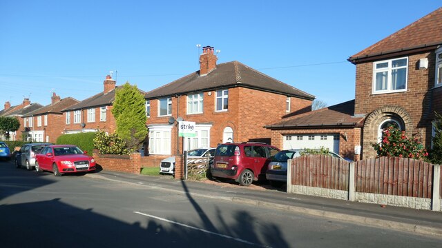
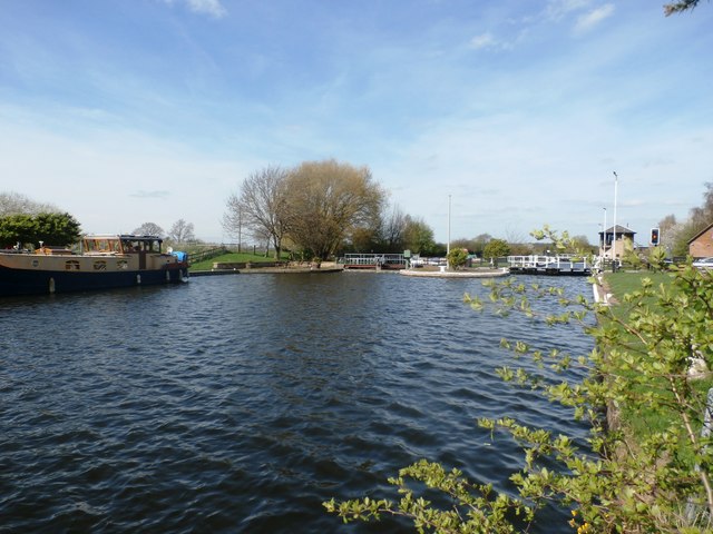
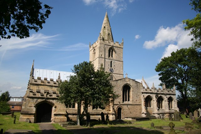
Images are sourced within 2km of 53.556695/-1.1083948 or Grid Reference SE5907. Thanks to Geograph Open Source API. All images are credited.

The north side of Grove Vale, Doncaster The road was laid out by 1938, and these houses built by 1948.
The north side of Grove Vale, Doncaster
The road was laid out by 1938, and these houses built by 1948.
Installing fibre optic cables on Thorne Road With the promise of faster internet speeds for this area of Doncaster.
Installing fibre optic cables on Thorne Road
With the promise of faster internet speeds for this area of Doncaster.
A small part of Sandall Park, Doncaster Looking north-eastward.
A small part of Sandall Park, Doncaster
Looking north-eastward.
The lake in Sandall Park
Two Roads and a Railway The road to the left climbs over the railway, the one on the right leads to the railway for maintenance.
Two Roads and a Railway
The road to the left climbs over the railway, the one on the right leads to the railway for maintenance.
Private Level Crossing This level crossing leads to a glass works just behind the gate to the left.
Private Level Crossing
This level crossing leads to a glass works just behind the gate to the left.
Wheatley Hotel The Wheatley Hotel sits right by the side of the western edge of this square.
Wheatley Hotel
The Wheatley Hotel sits right by the side of the western edge of this square.
Railway bridge From outside the former Rockware Glass factory.
Railway bridge
From outside the former Rockware Glass factory.
Goliath crane at (Jack) Tighe's factory Specialist shotblasting and painting of structural steel factory.
Goliath crane at (Jack) Tighe's factory
Specialist shotblasting and painting of structural steel factory.
Tracks along the embankment.
Long Sandall lock Set amongst industrial estates and rough ground.
Long Sandall lock
Set amongst industrial estates and rough ground.
Sandall Park Row of old hawthorns.
Sandall Park
Row of old hawthorns.
Hungerhill lane. Many horses graze this wasteground.
Hungerhill lane.
Many horses graze this wasteground.
Impressive almost complete timber framed pipe bridge
The unrideable RUPP (and it got worse) The path was muddy and strewn with rubble whole house bricks etc.
The unrideable RUPP (and it got worse)
The path was muddy and strewn with rubble whole house bricks etc.
Sandall Park Impressive and attractive park situated in the suburb of Wheatley, north east of Doncaster town centre. The park was previously a brick works and it covers nearly 70 acres.
Sandall Park
Impressive and attractive park situated in the suburb of Wheatley, north east of Doncaster town centre. The park was previously a brick works and it covers nearly 70 acres.
Don Navigation and Long Sandall Lock Wheatley Cut of the Dun (Don) Navigation pictured from a slightly precarious position at the water's edge. The lock can be seen on the right where it forms an approximate benchmark for the Normal Tidal Limit (NTL).
Don Navigation and Long Sandall Lock
Wheatley Cut of the Dun (Don) Navigation pictured from a slightly precarious position at the water's edge. The lock can be seen on the right where it forms an approximate benchmark for the Normal Tidal Limit (NTL).
Railway and Industrial Estate at Long Sandall Railway line between Kirk Sandall and Doncaster pictured from a road bridge (DOW/9) on Clay Lane. Beyond the industrial units is the flat landscape of Arksey Common.
Railway and Industrial Estate at Long Sandall
Railway line between Kirk Sandall and Doncaster pictured from a road bridge (DOW/9) on Clay Lane. Beyond the industrial units is the flat landscape of Arksey Common.
Show me another place!

Arksey Common is located at Grid Ref: SE5907 (Lat: 53.556695, Lng: -1.1083948)

Division: West Riding

Unitary Authority: Doncaster

Police Authority: South Yorkshire

What 3 Words

///flips.lifted.turns. Near Kirk Sandall, South Yorkshire

Nearby Locations

Arksey Common

Related Wikis

Arksey

Arksey is a village in the City of Doncaster in South Yorkshire, England. It had an estimated population of 1,303 as of 2010. It was the birthplace of...

Almholme

Almholme is a hamlet in South Yorkshire, England. It was in the parish of Arksey, and is now in Bentley with Arksey unparished area. The term 'holme' relates...

Arksey railway station

Arksey railway station, originally named Stockbridge and later Arksey and Stockbridge was a station which served the villages of Arksey and Stockbridge...

Kirk Sandall

Kirk Sandall is an outer suburb of Doncaster, located around 4 miles (6.4 km) north-east of the city centre in the English county of South Yorkshire. It...

Nearby Amenities

Located within 500m of 53.556695,-1.1083948
Power: pole
Lat/Long: 53.5525189/-1.1068714
Power: pole
Lat/Long: 53.5527488/-1.1108115
Power: pole
Lat/Long: 53.5534402/-1.10498
Power: pole
Lat/Long: 53.5535971/-1.1090499
Power: pole
Lat/Long: 53.5543092/-1.1031645
Power: pole
Lat/Long: 53.554612/-1.1069344
Power: pole
Lat/Long: 53.5555021/-1.1050873
Power: pole
Lat/Long: 53.5555029/-1.1029515
Power: pole
Lat/Long: 53.5564164/-1.1031988
Power: pole
Lat/Long: 53.5565977/-1.1033384
Power: pole
Lat/Long: 53.5570965/-1.1011683
Power: pole
Lat/Long: 53.5577609/-1.1037856
Power: pole
Lat/Long: 53.5591736/-1.10401
The data included in this document is from www.openstreetmap.org. The data is made available under ODbL.

Have you been to Arksey Common?

Leave your review of Arksey Common below (or comments, questions and feedback).