Aberpwll
Settlement in Caernarfonshire
Wales
Aberpwll
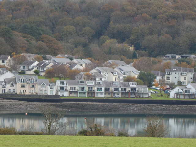
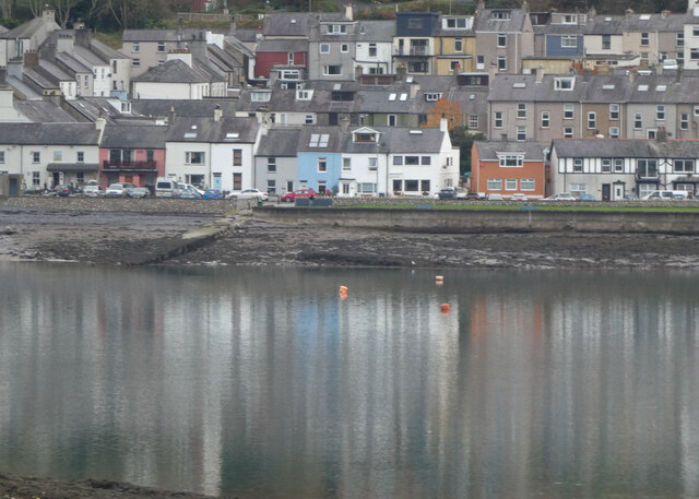
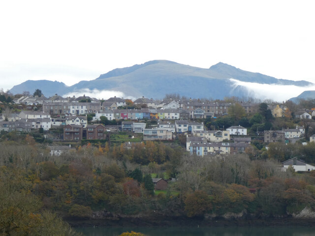
Aberpwll is a small village located in the county of Caernarfonshire, Wales. Situated on the northern coast of the country, it lies on the southwestern edge of the Menai Strait, separating the Isle of Anglesey from the mainland. The village is nestled between the towns of Caernarfon and Bangor, which provide convenient access to various amenities and services.
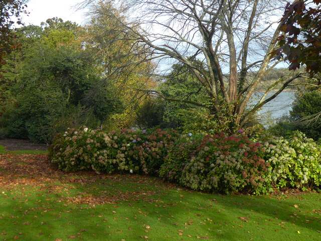
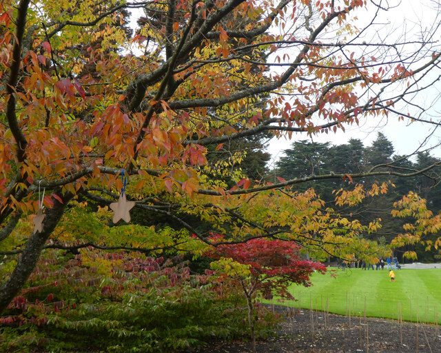
With a population of around 500 residents, Aberpwll boasts a close-knit community atmosphere. The village is characterized by its picturesque surroundings, encompassing rolling hills, lush green fields, and stunning views of the Menai Strait. Its tranquil and idyllic setting attracts visitors throughout the year, particularly outdoor enthusiasts who enjoy exploring the nearby Snowdonia National Park.
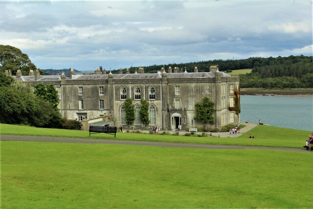
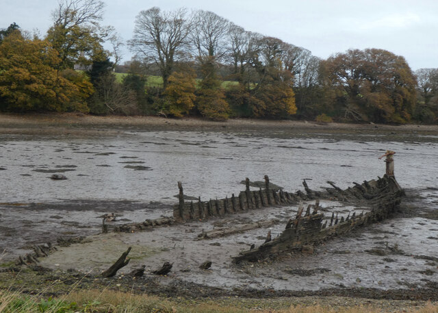
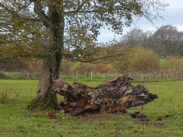
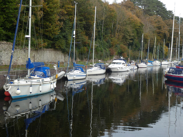
Aberpwll has a long history, dating back to ancient times when it served as a vital port for trade and transportation. Today, remnants of its maritime past can still be seen in the form of old docks and buildings along the waterfront. Although no longer a bustling port, the village retains its charm and offers a peaceful retreat for residents and visitors alike.
Within Aberpwll, there are a few local amenities such as a small convenience store, a traditional pub, and a community center. Additionally, the village benefits from good transport links, with regular bus services connecting it to nearby towns and cities.
Overall, Aberpwll provides a serene and picturesque setting for those seeking a peaceful village lifestyle while still being within easy reach of larger towns and the natural beauty of Snowdonia National Park.
If you have any feedback on the listing, please let us know in the comments section below.
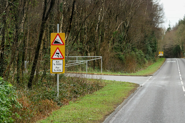
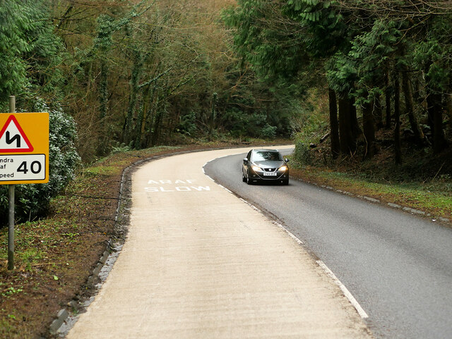
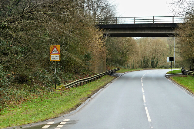
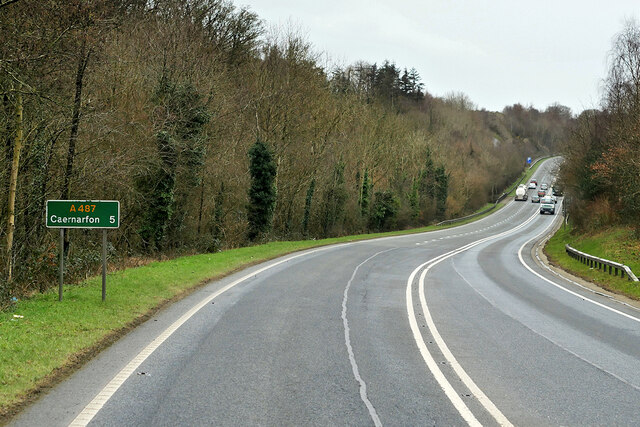
Aberpwll Images
Images are sourced within 2km of 53.190716/-4.195139 or Grid Reference SH5368. Thanks to Geograph Open Source API. All images are credited.


Aberpwll is located at Grid Ref: SH5368 (Lat: 53.190716, Lng: -4.195139)
Unitary Authority: Gwynedd
Police Authority: North Wales
Also known as: Aber Pwll
What 3 Words
///tucked.golden.apply. Near Y Felinheli, Gwynedd
Nearby Locations
Related Wikis

Y Felinheli F.C.
Clwb Pêl Droed Y Felinheli (English: Y Felinheli Football Club) is a Welsh football team based in the village of Y Felinheli (formerly known in English...
Port Dinorwic railway station
Port Dinorwic railway station was the name of two railway stations located on the Bangor and Carnarvon Railway near the village of Port Dinorwic (now Y...
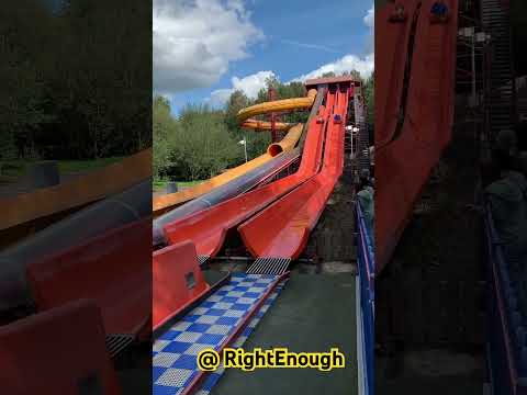
GreenWood
GreenWood (Welsh: Gelli Gyffwrdd), formerly GreenWood Forest Park and The GreenWood Centre, is a family fun park at Y Felinheli in Gwynedd, Wales. The...

Faenol Festival
The Faenol Festival (Welsh: Gŵyl y Faenol) is a music festival organised by Welsh singer Bryn Terfel, originally held annually on the Faenol Estate (Welsh...

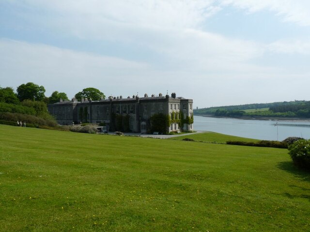
Vaynol
Vaynol or Y Faenol (Welsh [ə ˈveɨnɔl]) is a country estate dating from the Tudor period near Y Felinheli in Gwynedd, North Wales (grid reference SH536695...

Y Felinheli
Y Felinheli (), formerly known in English as Port Dinorwic, is a village and community beside the Menai Strait (Welsh: Y Fenai or Afon Menai) between Bangor...
Moel-y-don
Moel-y-don is a community in Llanddaniel Fab, Anglesey, Wales, which is 126 miles (202.7 km) from Cardiff and 208.1 miles (334.9 km) from London. ��2...

St Edwen's Church, Llanedwen
St Edwen's Church, Llanedwen, is a 19th-century parish church near the Menai Strait, in Anglesey, north Wales. The first church was founded here by St...
Related Videos

Episode 88 - Greenwood Family Park | Dad and Lad on Tour | Travel adventures around the UK
Follow our journey by subscribing as we travel the UK Dad and Lad. Where will we go? Where are the best places to visit in the ...


PLAYGROUNDS LIKE THIS ONE
Great Place to take the family!
Nearby Amenities
Located within 500m of 53.190716,-4.195139Have you been to Aberpwll?
Leave your review of Aberpwll below (or comments, questions and feedback).